© Ferienregion TirolWest - © Serfaus-Fiss-Ladis Marketing GmbH
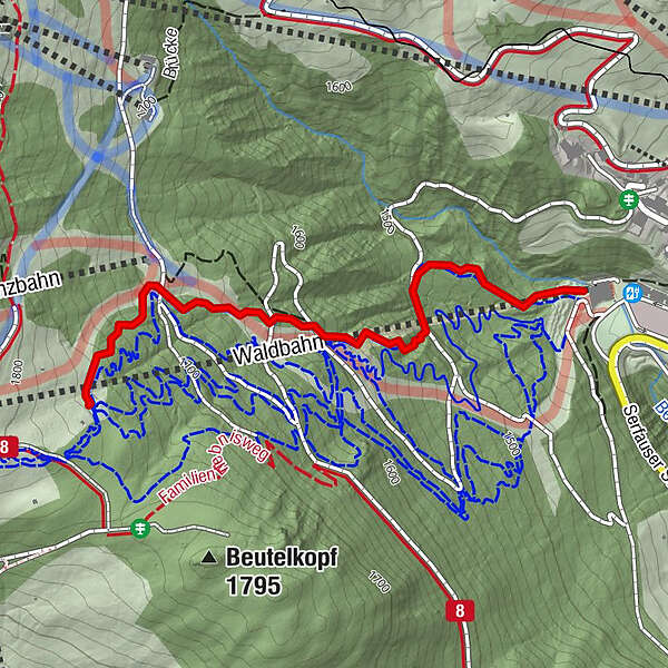
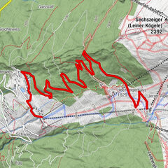
- Highest point
- 1,765 m
- Height profile
-

- Author
-
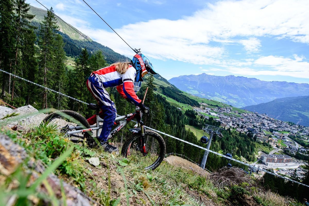
The tour Downhill is used by outdooractive.com provided.
GPS Downloads


Other tours in the regions
-
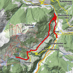
Serfaus - Fiss - Ladis
238
-
Fiss
81