- Brief description
-
Discover the ideal round trip around the Vordere Ötztal and its places. Particularly suitable for families and pleasure e-bikers!
- Difficulty
-
medium
- Rating
-
- Starting point
-
center parking space Oetz
- Route
-
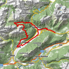
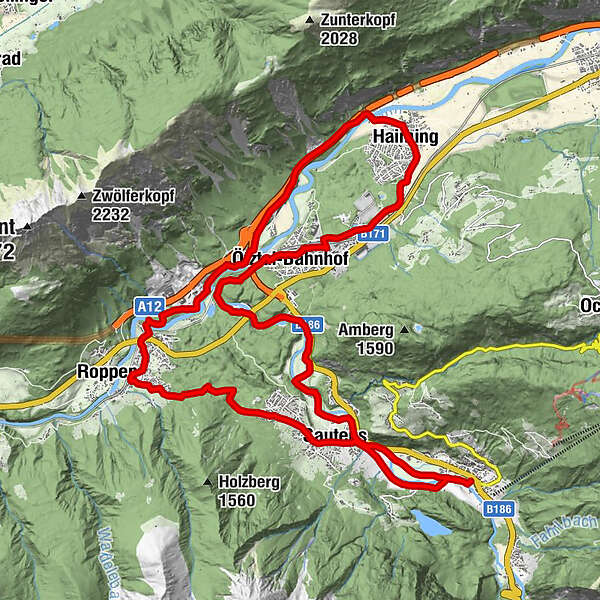
Oetz (812 m)0.2 kmSautens (812 m)2.8 kmResort Alt-Ötztal3.3 kmKreuzkapelle4.4 kmPfarrkirche hl. Leonard7.1 kmLourdeskapelle7.1 kmMairhof7.2 kmRoppen (724 m)7.2 kmLöckpuit7.4 kmSchlierenzau11.9 kmHeiligkreuzkapelle14.5 kmMagerbach14.5 kmHaiming (670 m)15.5 kmUntere Gmua16.6 kmÖtztal (692 m)18.9 kmÖtztal-Bahnhof19.2 kmLakeside Restaurant21.6 kmBrunau23.7 kmEbene25.4 kmSautens (812 m)25.8 kmOetz (812 m)27.9 km
- Best season
-
JanFebMarAprMayJunJulAugSepOctNovDec
- Description
-
This 27 kilometer long tour starts in Oetz, at the entrance to Ötztal. As the asphalt route features only 150 meters of elevation gain it is perfectly suitable for families. Right at the beginning, between Oetz and Roppen, bikers must conquer the only a bit more demanding ascent. A wood-covered rockslide area in the west marks the border between Ötztal and Inntal.
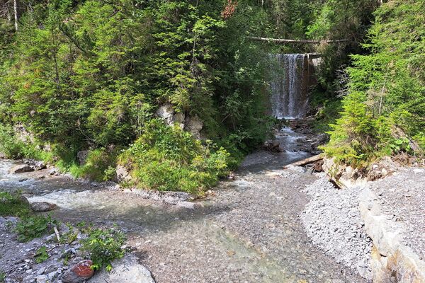
In Roppen you reach the Inntal Cycle Path, follow it downstream. Soon you arrive at the Roman Bath, a small temple building which is worth a rest. The water coming out of the fountain is rich in minerals and famous for its healing effects. In times long past this bath was located on the old Roman Road.
A slightly descending trail takes you to the village of Haiming from where you return upstream towards Ötztal Bahnhof. Here you continue on the Ötztal Mountain Bike Trail until you get back to Oetz. Special tip: take a refreshing swim in idyllic Lake Piburger See after an adventurous mountain bike day.
- Directions
-
This 27 kilometer long tour starts in Oetz, at the entrance to Ötztal. As the asphalt route features only 150 meters of elevation gain it is perfectly suitable for families. Right at the beginning, between Oetz and Roppen, bikers must conquer the only a bit more demanding ascent. A wood-covered rockslide area in the west marks the border between Ötztal and Inntal.
In Roppen you reach the Inntal Cycle Path, follow it downstream. Soon you arrive at the Roman Bath, a small temple building which is worth a rest. The water coming out of the fountain is rich in minerals and famous for its healing effects. In times long past this bath was located on the old Roman Road.
A slightly descending trail takes you to the village of Haiming from where you return upstream towards Ötztal Bahnhof. Here you continue on the Ötztal Mountain Bike Trail until you get back to Oetz. Special tip: take a refreshing swim in idyllic Lake Piburger See after an adventurous mountain bike day.
- Highest point
- 832 m
- Endpoint
-
center car park Oetz
- Height profile
-

- Equipment
-
Approproate equipment such as breathable suitable outdoor clothes for the weather, helmet, gloves, glasses, GPS device or detailed maps. If there is no hut on the way please bring a snack and enough to drink.
- Safety instructions
-
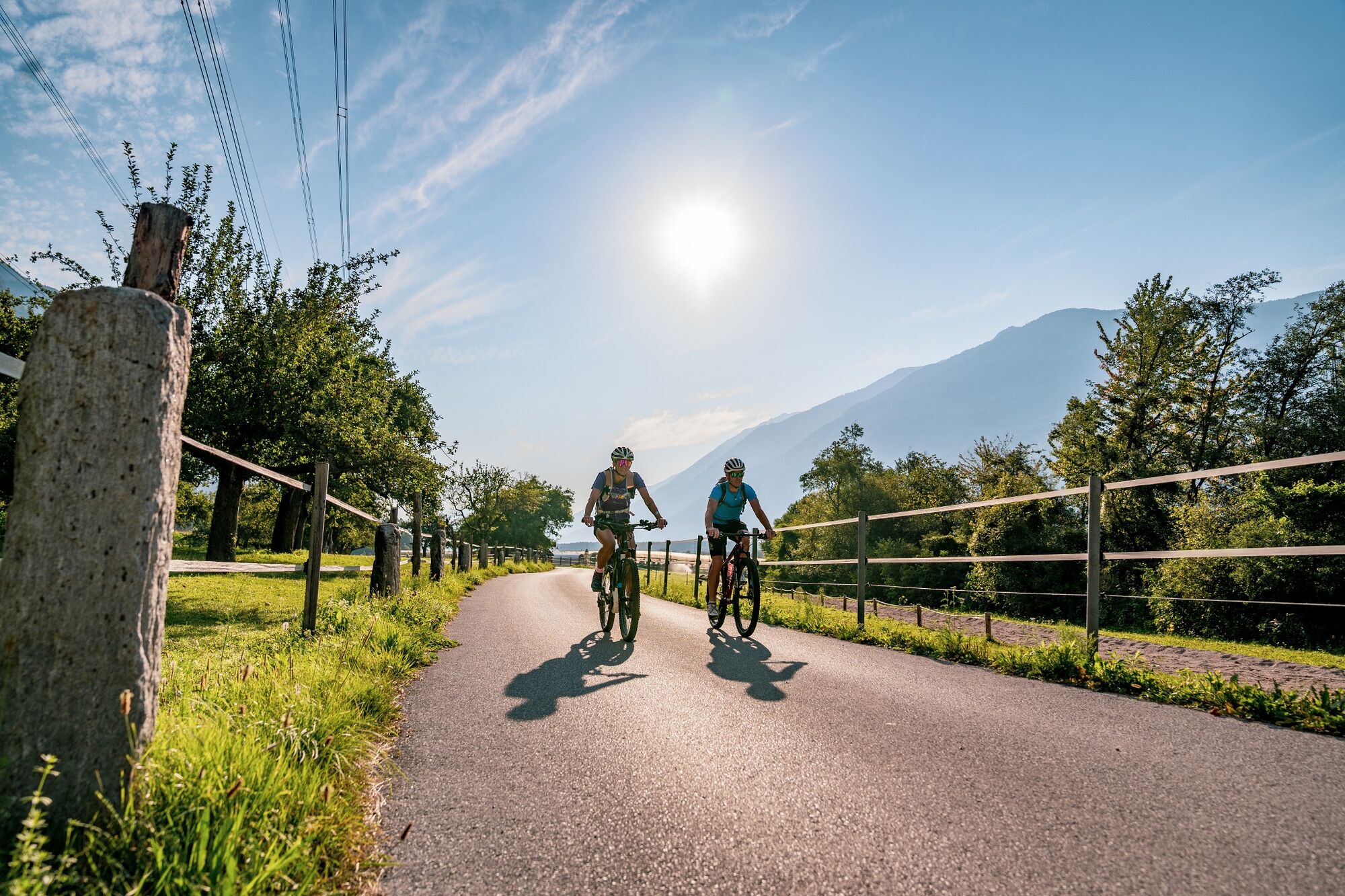
Family-friendly trekking or MTB route suitable also for standard bicycles, offering good road or trail surface (gravel, asphalt or similar surface). The gentle climbs do not require special skills, cycling techniques or above average stamina. Enjoyable cycling is the main priority.
- Tips
-
The tour runs along developed trails and is easily ridable by e-bike or mountain bike.
- Additional information
- Directions
-
The car drive to the Ötztal valley. Situated in Tirol, the Ötztal valley set off in southerly direction and is the longest side valley in the Eastern Alps. The journey with the car leads you through the Inntal valley to the entrance of the vallly and further on through the valley. Among the toll motorways you can also use the country roads. A route planner will show you the easiest and most convenient way: www.google.at/maps.
- Public transportation
-
Travel safe and comfortable with the train to the Ötztal Bahnhof train station. Last stop and exit point is the train station Ötztal Bahnhof. Afterwards you can travel smoothly and quick with the public transport or out local taxi companies through the valley to your desired destination. Please find the current bus timetable here: fahrplan.vvt.at
- Parking
-
The following parking facilities are available in Oetz:
- center parking space Oetz, chargeable € 0,50/ car / 30 min

- Author
-
The tour 658 Tour of 5 Villages is used by outdooractive.com provided.


General info
-
Outdoorregion Imst
273
-
Sautens
94