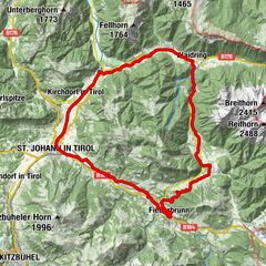
Tour data
17.25km
820
- 1,440m
620hm
01:45h

- Brief description
-
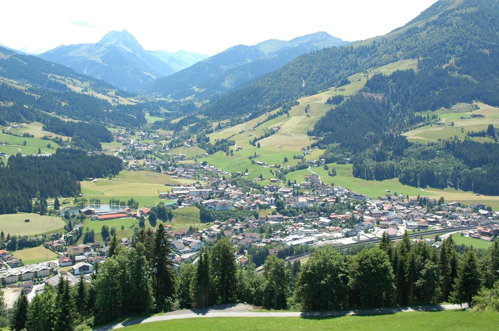
Streckenverlauf: Kirchberg Zentrum - Rauher Kopf - Kirchberg Zentrum; Streckenlänge: 17,655 km; Höhenunterschied: 620 m
- Rating
-
- Starting point
-
Kirchberg Ortszentrum
- Route
-
Mühlbach0.9 kmSpertendorf4.9 kmSpertendorf17.1 km
- Highest point
- 1,440 m
- Ticket material
-
KitzalpBike Mountainbike- und Radwanderkarte
Region Kitzbühel - Brixental - St. Johann in Tirol

GPS Downloads


Surfaces
Asphalt
Gravel
Mountain paths
Single trails
Trial
Traffic
Other tours in the regions