


- Brief description
-
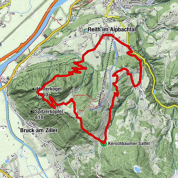
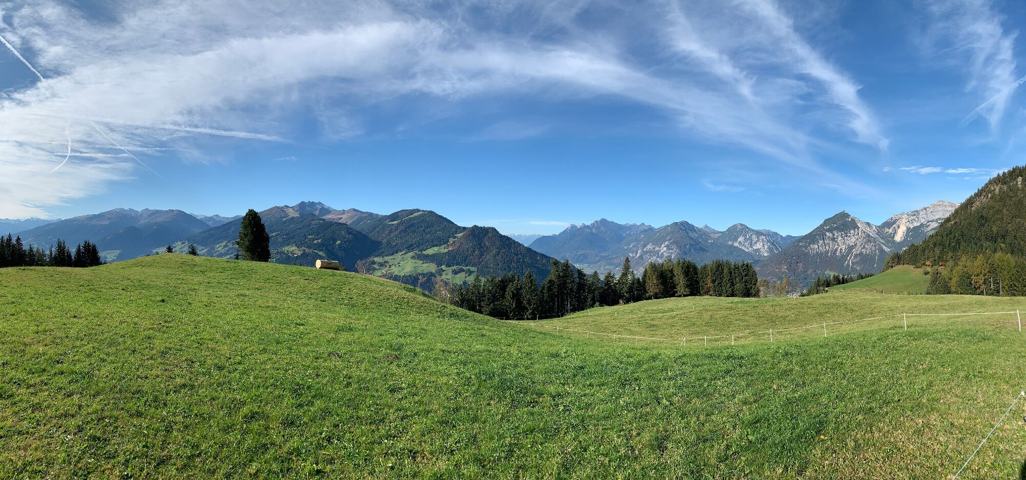
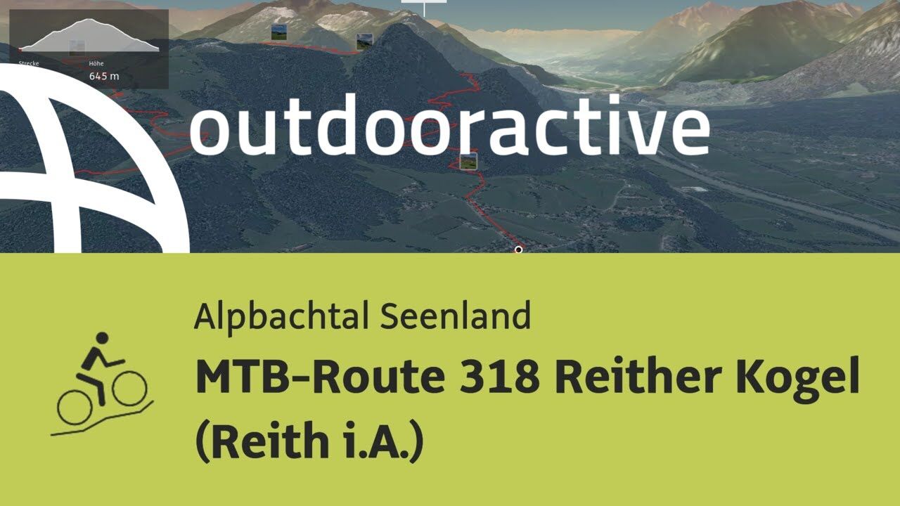
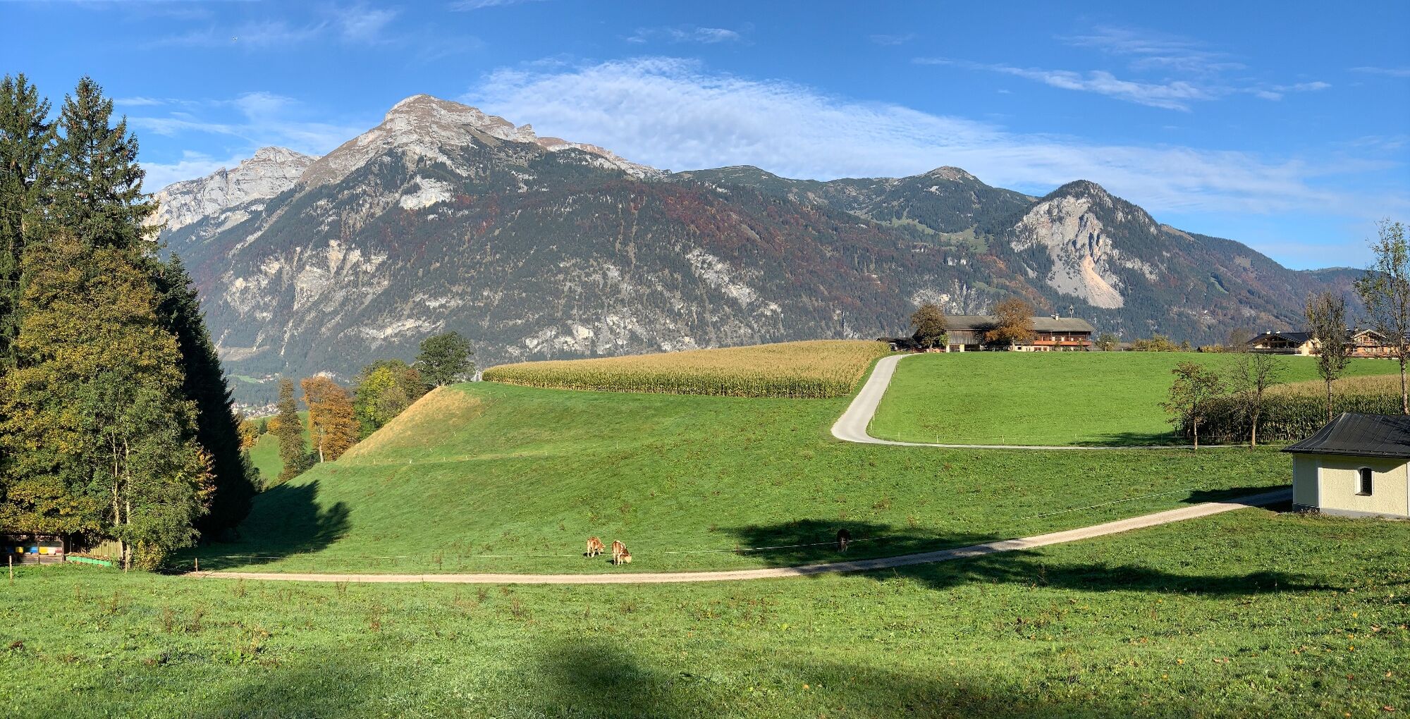
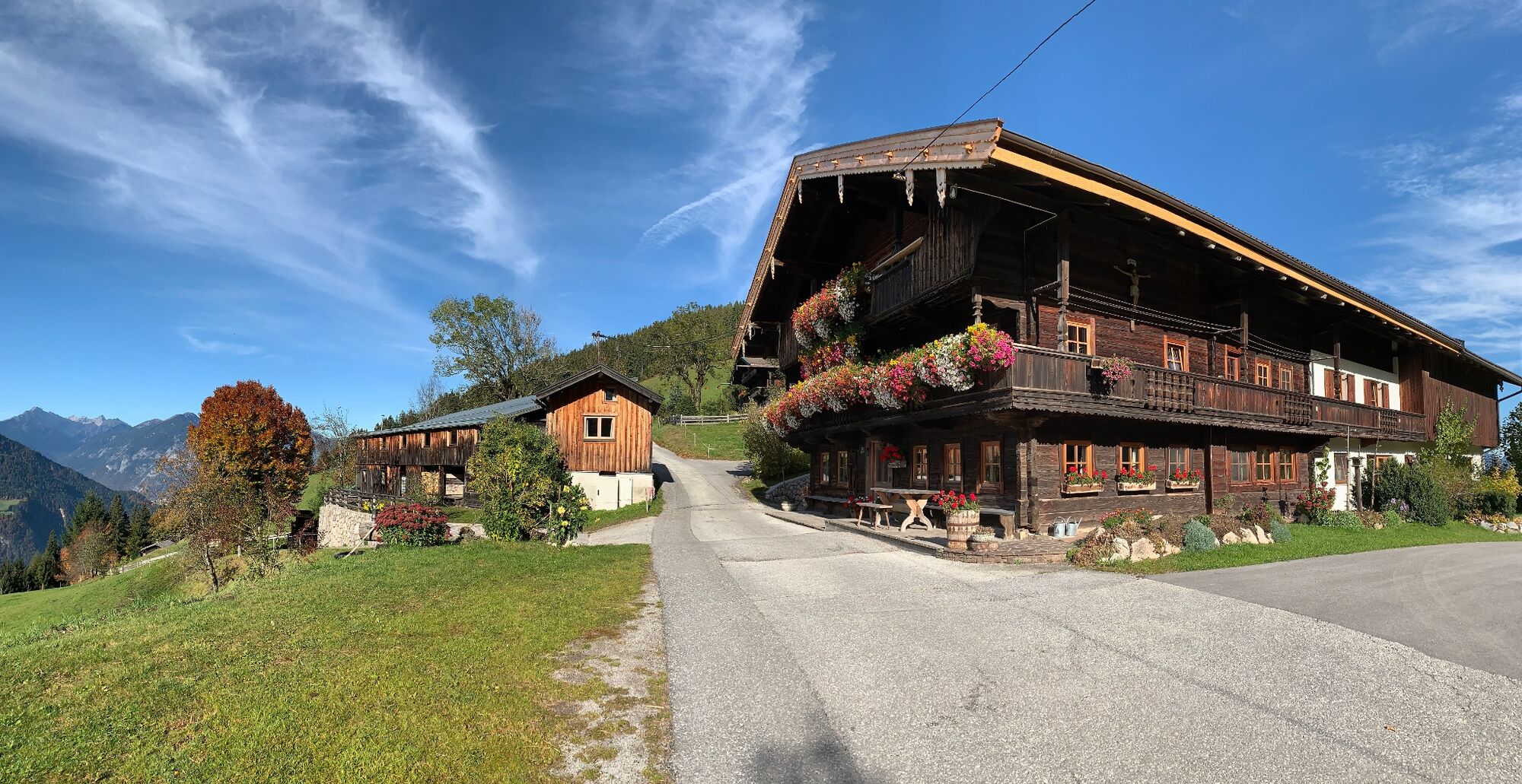
Enjoyable looped route around the Reither Kogel
- Difficulty
-
medium
- Rating
-
- Starting point
-
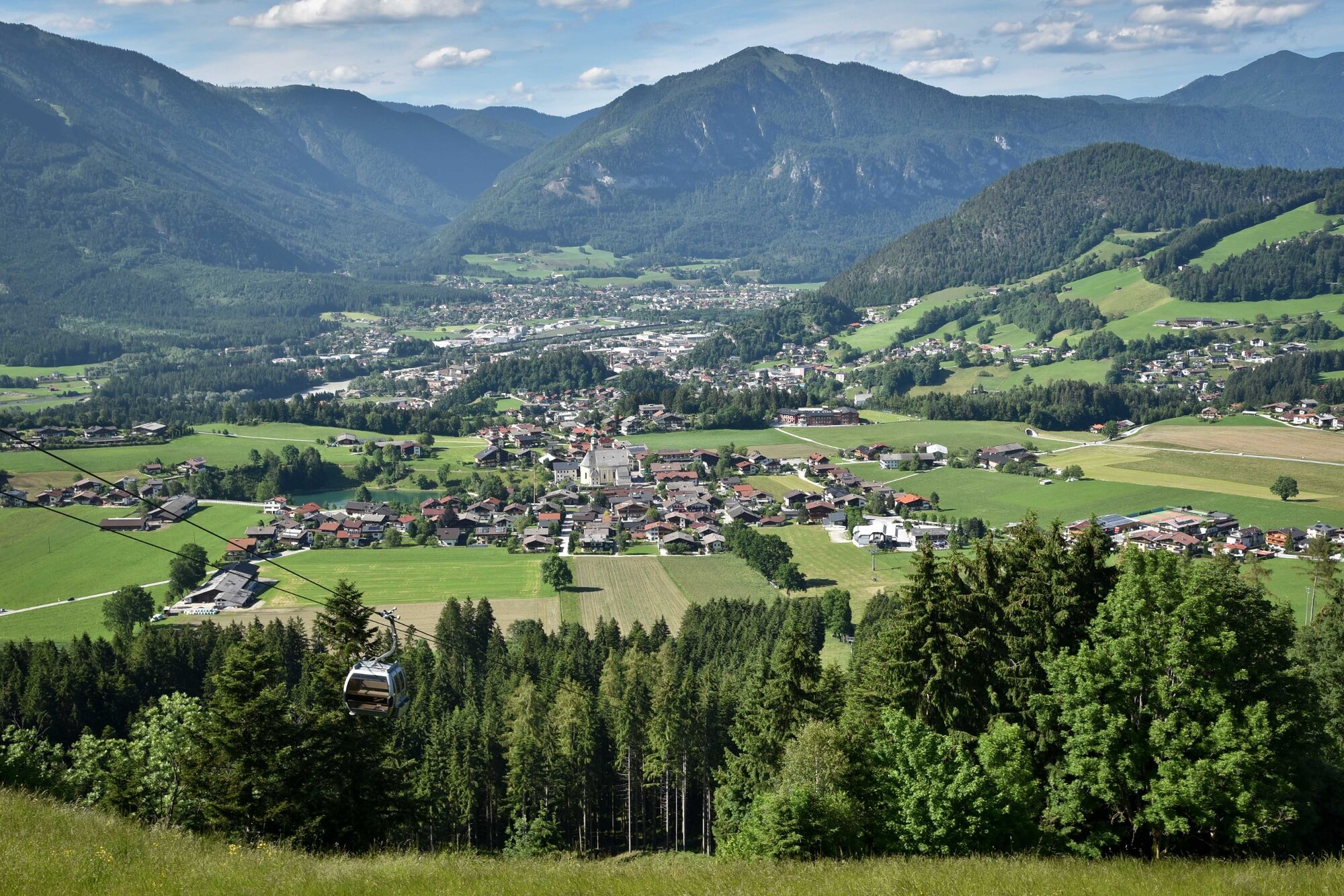
Reitherkogelbahn, Reith car park
- Route
-
Reith im Alpbachtal (638 m)0.1 kmHub Kapelle1.2 kmAussichtspunkt Hinterkogel6.0 kmRosenkranz Kapelle9.3 kmGschwendt Almstüberl10.3 kmKapelle Maria vom Guten Rat12.1 kmHygna (817 m)12.1 kmReither Anger (659 m)13.9 kmReith im Alpbachtal (638 m)14.0 km
- Best season
-
JanFebMarAprMayJunJulAugSepOctNovDec
- Description
-
From the Reitherkogelbahn car park turn left cycle towards the village centre and the Heumilchkäserei (dairy). Take the second to the left and cycle through Ried to the Hub chapel. Turn left onto the unpaved panorama road and cycle uphill to the Hinterkogelhof. Continue on to the Fürstenhof and the Kerschbaumersattel (ridge into the Ziller Valley) and turn left taking the road downhill to Hygna and back to the starting point in Reith.
- Directions
-
Reitherkogelbahn car park - turn left cycle towards the village centre and the Heumilchkäserei (dairy) - take the second to the left and cycle through Ried to the Hub chapel - turn left onto the unpaved panorama road and cycle uphill to the Hinterkogelhof - continue to the Fürstenhof and the Kerschbaum Saddle (ridge into the Ziller Valley) - turn left taking the road downhill to Hygna and back to the starting point in Reith.
- Highest point
- 1,199 m
- Endpoint
-
Reitherkogelbahn, Reith car park
- Height profile
-

- Equipment
-
Helmet, sun glasses, bike shorts, rain proof jacket, hat, drinking bottle, map, first aid kit, mobile phone, camera, bike lock, replacement inner tube, mini tool kit, bike pump, puncture repair kit, sealing (repair) tape, sun cream, energy food (muesli bar), snack, ...
- Safety instructions
-
Winter Closing
All MTB and bike routes are closed for safety reasons from 1st November until 1st April of the following year.
These routes are not cleared and many MTB routes are exposed to avalanches.Depending on snow conditions, some routes may need to remainclosed beyond 1st April. For more information and details see your local tourist office.
- Tips
-
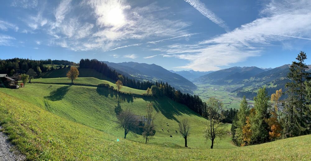
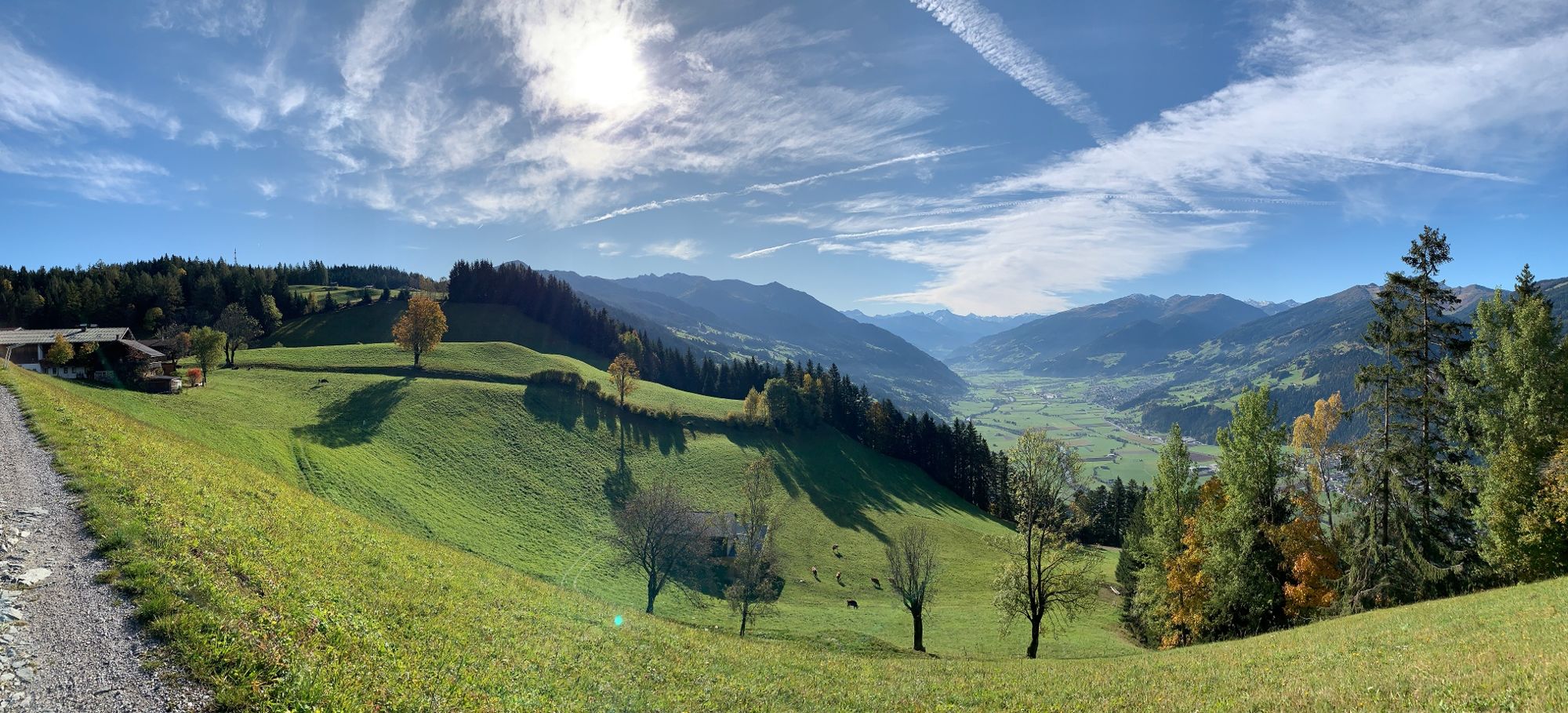
Enjoy the breath-taking panorama from the Kerschbaum Saddle.
- Additional information
- Directions
- Public transportation
- Parking
-
Reitherkogelbahn car park, tour starting point.

-

-
AuthorThe tour MTB-Route 318 Reither Kogel (Reith i. Alpbachtal) is used by outdooractive.com provided.


General info
-
Alpbachtal
301
-
Reith im Alpbachtal
124