
- Brief description
-
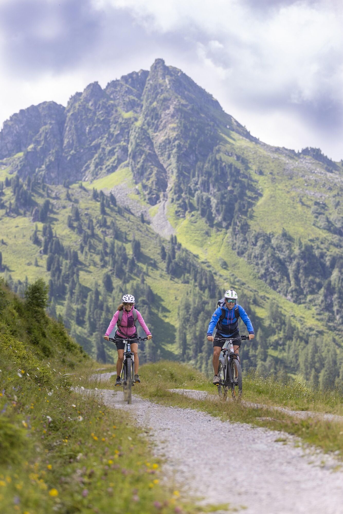
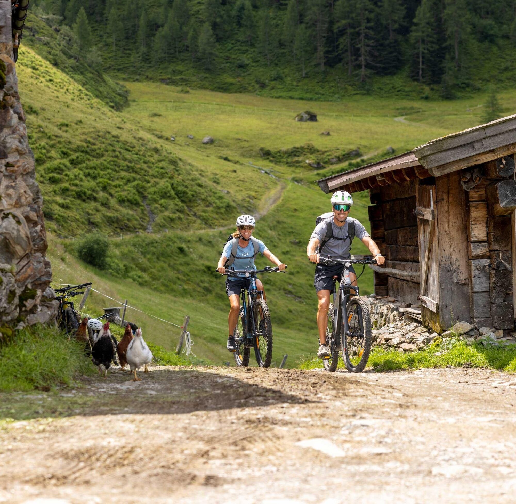
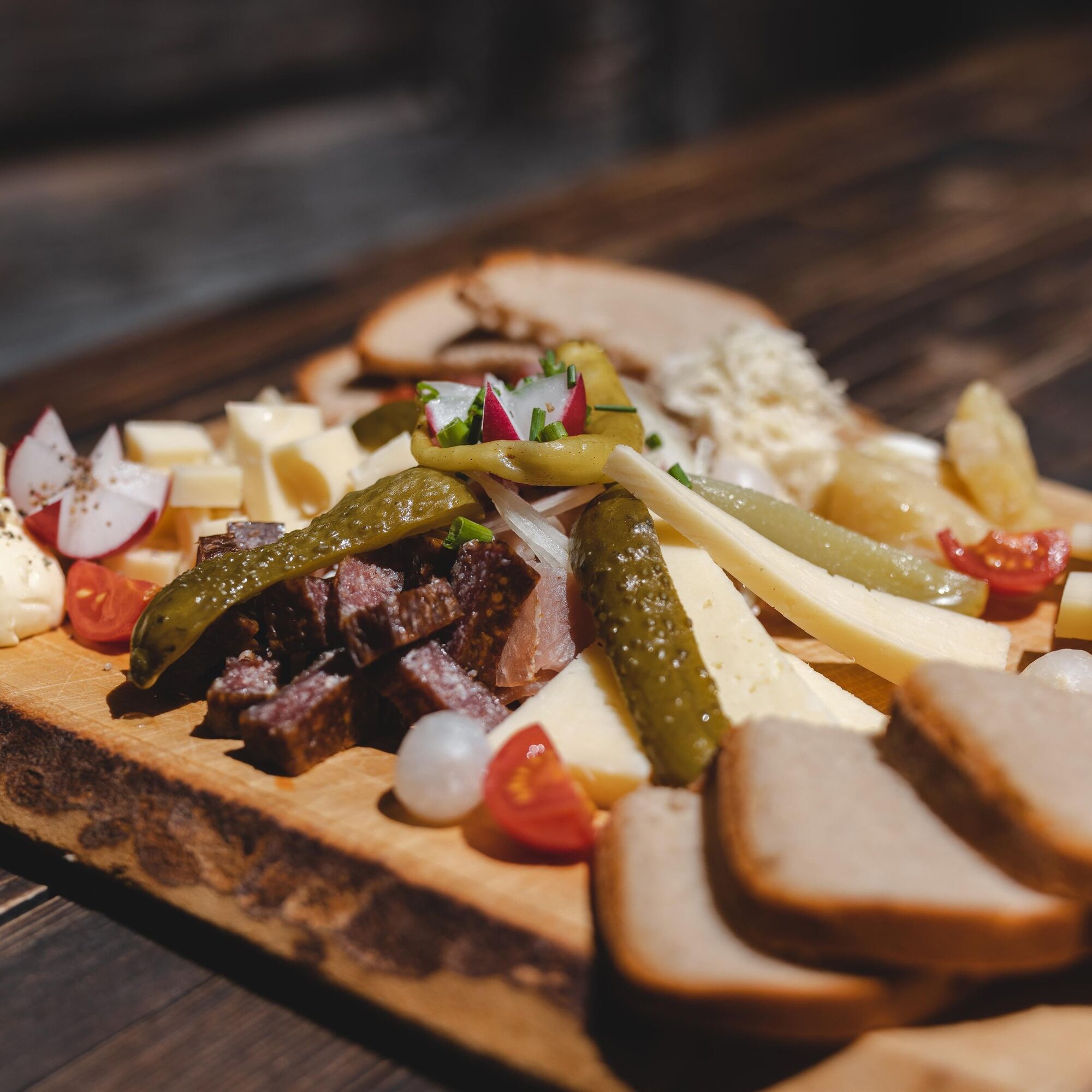
Mountain bike through the Greiter valley - enjoy the Farmkehralm's rustic atmosphere whilst having something to eat and drink.
- Difficulty
-
medium
- Rating
-
- Starting point
-
Inneralpbach
- Route
-
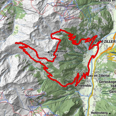
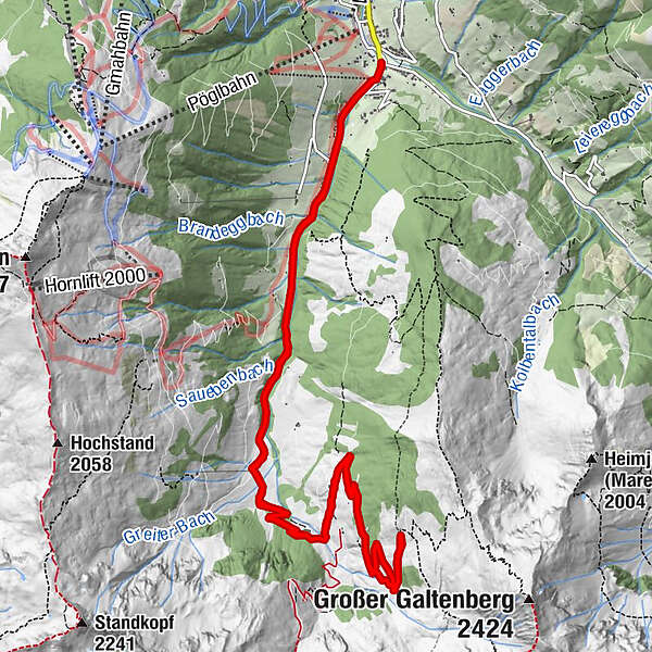
InneralpbachConny Tiroler Wirtshaus0.0 kmGreiter Graben1.7 kmGreitalm3.5 kmFarmkehralm Hochleger7.9 kmGreitalm12.0 kmGreiter Graben13.6 kmInneralpbach15.5 kmConny Tiroler Wirtshaus15.6 km
- Best season
-
JanFebMarAprMayJunJulAugSepOctNovDec
- Description
-
From the car park in Inneralpbach cycle past the Hotel Galtenberg and turn right crossing the wooden bridge. Follow the road alongside the river to the Gasthaus Leitner (closed for business). From this point the road becomes an unpaved track. At the Hornboden crossing continue straight on past the Greitalm at 1.317 m on to the Farmkehralm crossing. Either continue straight on to the Hochleger at 1.771 m or turn right and take the route to the Farmkehralm at 1.521 m, where one can stop for something to eat and drink.
- Directions
-
Car park in Inneralpbach - cross the stream at the wooden bridge. Follow the road alongside the river to the Gasthaus Leitner (closed for business). From this point the road becomes a forest track. At the Hornboden crossing continue straight on past the Greitalm at 1.317 m on to the Farmkehralm crossing. Either continue straight on to the Hochleger at 1.771 m or turn right and take the route to the Farmkehralm at 1.521 m, where one can stop for something to eat and drink.
- Highest point
- 1,764 m
- Endpoint
-
Farmkehralm
- Height profile
-

- Equipment
-
Helmet, sun glasses, bike shorts, rain proof jacket, hat, drinking bottle, map, first aid kit, mobile phone, camera, bike lock, replacement inner tube, mini tool kit, bike pump, puncture repair kit, sealing (repair) tape, sun cream, energy food (muesli bar), snack, ...
- Safety instructions
-
Winter Closing
All MTB and bike routes are closed for safety reasons from 1st November until 1st April of the following year.
These routes are not cleared and many MTB routes are exposed to avalanches.Depending on snow conditions, some routes may need to remainclosed beyond 1st April. For more information and details see your local tourist office.
- Tips
-
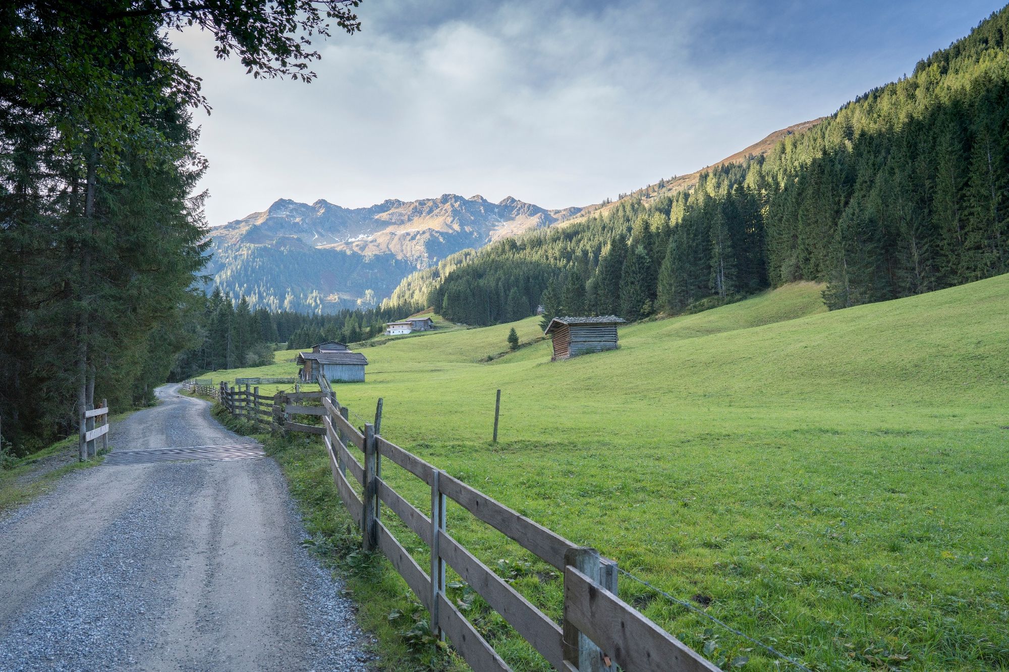
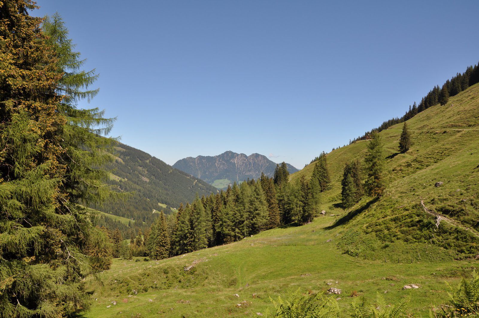
The Alpbach valley branches out at its end into two scenic highlights: the Greiter and Lueger Valley. Both are ideal for hikers and bikers.
- Additional information
- Directions
- Public transportation
- Parking
-
Parking in Inneralpbach / Connys Original Tiroler Wirtshaus (official start) or at the Leitner parking lot (shortens route by approx. 1,5 km and 100 elevation gain). The car parks are subject to fees!

- Author
-
The tour Farmkehralm 306 is used by outdooractive.com provided.


General info
-
Alpbachtal
293
-
Alpbach
121