- Brief description
-
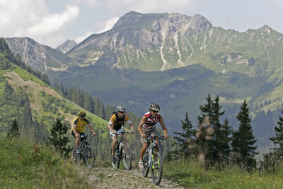
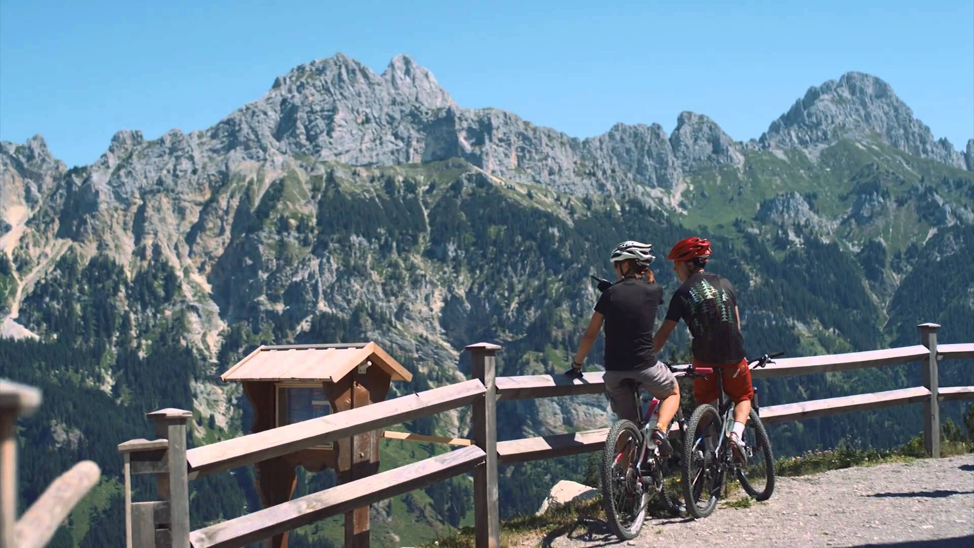
Exciting MTB tour in the border area between Austria and Germany.
- Difficulty
-
medium
- Rating
-
- Starting point
-
Lift parking place in Jungholz
- Route
-
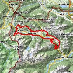
Jungholz (1,054 m)0.1 kmPfarrkirche Mariä Namen0.1 kmLangenschwand0.7 kmWaldhorn0.8 kmZu den Aposteln Peter und Paul0.8 kmKamelstueble (1,054 m)1.0 kmAlpe Stubental (1,284 m)2.9 kmAlpe Obere Reuterwanne4.2 km
- Best season
-
JanFebMarAprMayJunJulAugSepOctNovDec
- Description
-
From Jungholz it's all uphill right away, a great and panoramic tour in the border area between Germany and Austria is waiting for you. The tour has about 400 vertical meters, but also some difficult passages. The area between Pfeifferberg and Reuterwanne is steep and restless. Caution is required here.
For demanding bikers there are 15 bike routes with a total of 150 kilometres, which have been approved and uniformly signposted by the province of Tyrol. Furthermore, the Tannheimer Tal is the starting point for the newly designed route "Bike Trail Tyrol". The big round tour with over 800 kilometres and the many connecting stages with another 500 kilometres are designed in such a way that the bikers can put together their own personal route.
Cycle paths away from the roads
You can get to know the surroundings on the "Radwanderweg Tannheimer Tal" (cycle path Tannheimer Tal), which passes the most beautiful corners of the Tyrolean high valley on 40 kilometres. The cycle paths are off the main road and uniformly signposted. Via Schattwald in the direction of Rehbach you will reach Ober- and Unterjoch in the Allgäu - stop for a moment at the moor pond "Floschen". Or cycle through Tannheim and Grän on the new lakeside promenade at Haldensee to Nesselwängle. A side trip to the nature reserve Vilsalpsee will certainly please you.
The mountain bike guide
The mountain bike guide Tannheimer Tal contains tour descriptions, altitude profiles, tips and maps. All tours can be combined and are clearly signposted. The blue marked routes are for the connoisseurs. Red signposted are the medium-difficulty tours and the black signage is a sporting challenge.
The MTB-guide costs € 3.00 and can be purchased at the Tourist Office Tannheimer Tal.
Always following the color...
The right mixture makes the difference - this also applies to the mountain bike offer in the Tyrolean Tannheimer Tal. Whoever gets on the pedals here has the choice between 15 tours and more than 300 mountain bike kilometres for every level of ability and fitness. All routes can be combined and are clearly signposted.
Blue route - easy
Mountain bike beginners or safe cyclists as well as e-bikers follow the blue signs in the Tannheimer Tal. The paths, which are easy to ride on throughout, have only minimal gradients and are therefore ideal for family outings in the saddle, where monotony is certainly not an issue: the Kneipp circular path, for example, offers a refreshing descent depending on your mood. After all, the almost six kilometres and 198 metres of altitude difference are all the easier to cycle with well-circulated legs.
Red route - medium difficulty
Whoever sees red in the Tannheimer Tal is happy. And this over medium-difficult and scenic mountain bike routes, which require sporty cycling skills and particularly defensive riding behaviour. Tip: On the approximately 11-kilometre-long "Haldenrunde" bikers cover almost 500 metres in altitude and are rewarded with a wide view of the Tannheimer Tal and the mountains Rote Flüh and Gimpel, the landmarks of the Tyrolean high valley, when they arrive at the Berghotel Zugspitzblick. With good visibility, the view even reaches up to Germany's highest mountain.
Black track - heavy
A total of 3 tours are - not least because of their length - classified as difficult and require strength and mountain biking experience. Like the route to the Raaz Alpe, where 47 kilometres and 1,512 metres in altitude await the mountain bikers. The diversity of the Tyrolean high valley is shown on the "valley tour": On 67 kilometres and 1,280 metres of altitude difference the route offers the whole range of mountain bike sports. By the way, bikers can enter or leave the "Tour de Tannheimer Tal" at any point.
---> Tip: The Tannheimer Tal is the starting point for the Bike-Trail-Tyrol, the longest continuous circuit for mountain bikers in the Alpine region with 1,000 kilometres.
- Directions
-
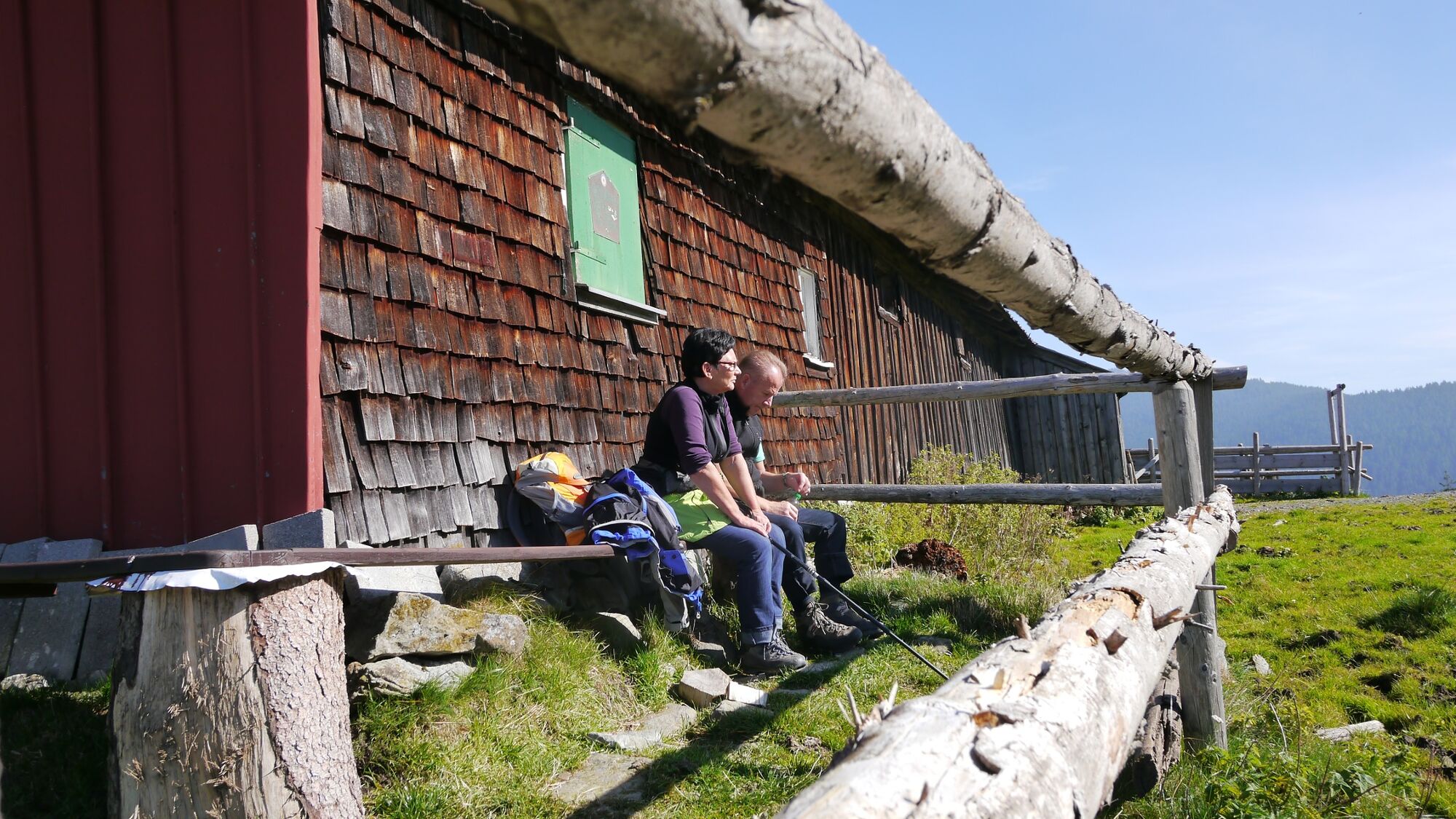
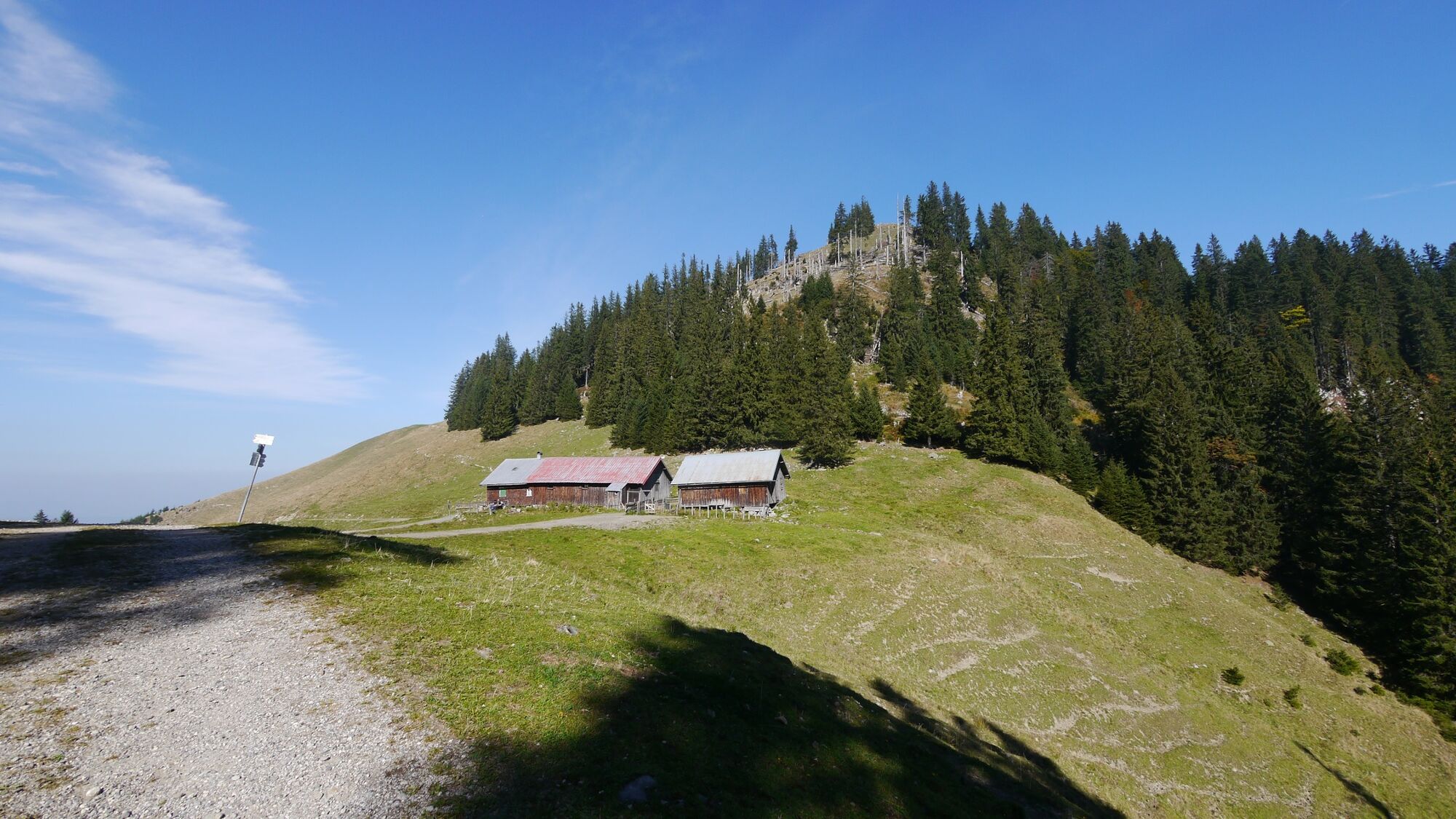
From the centre of Jungholz on the asphalted municipal road up to the district of Langenschwand, past the chapel and the "Lärchenhof" (larch farm) flat to the fork in the road. Turn left on the asphalt road first through meadows and then through the middle part of the forest to the "Alpe Stubental". On a flat alpine road past the alp to the Austrian/Bavarian border. Then left, steeply over the rough forest road into the depression between Pfeifferberg and Reuterwanne (possibly a push trail). From there a short walk to the "Obere Alpe Reuterwanne". Return on the same path (be careful on the steep, stony gradient!) via the alp Stubental to Jungholz.
- Highest point
- 1,390 m
- Endpoint
-
Lift parking place in Jungholz
- Height profile
-

- Equipment
-
The personal equipment must be safe and serviceable and meet the relevant technical standards. Every mountain biker is recommended to inform himself about the planned tours in technical literature or on site. Full mountain bike equipment is highly recommended, even for experienced cyclists!
- Safety instructions
-
It should be noted that mountain biking may involve an increased risk of accidents and injuries. Despite careful route planning, a basic risk always remains. Tour preparation through endurance sports, appropriate technical training and further education as well as personal prudence reduces the danger of accidents and risks. But please never forget that the weather in the mountains can change very quickly. Stay on the marked paths.
Drive on the "safe side" in Tannheimertal
In Austria, mountain biking is generally prohibited by law on all forest and hiking trails, with the exception of mountain bike trails expressly approved for this purpose. The entrances on forest roads are sometimes marked with signs prohibiting driving and additional information such as "Cycling prohibited". Hiking trails do not have these prohibition signs, but nevertheless it is forbidden to use the trails.
- Tips
-
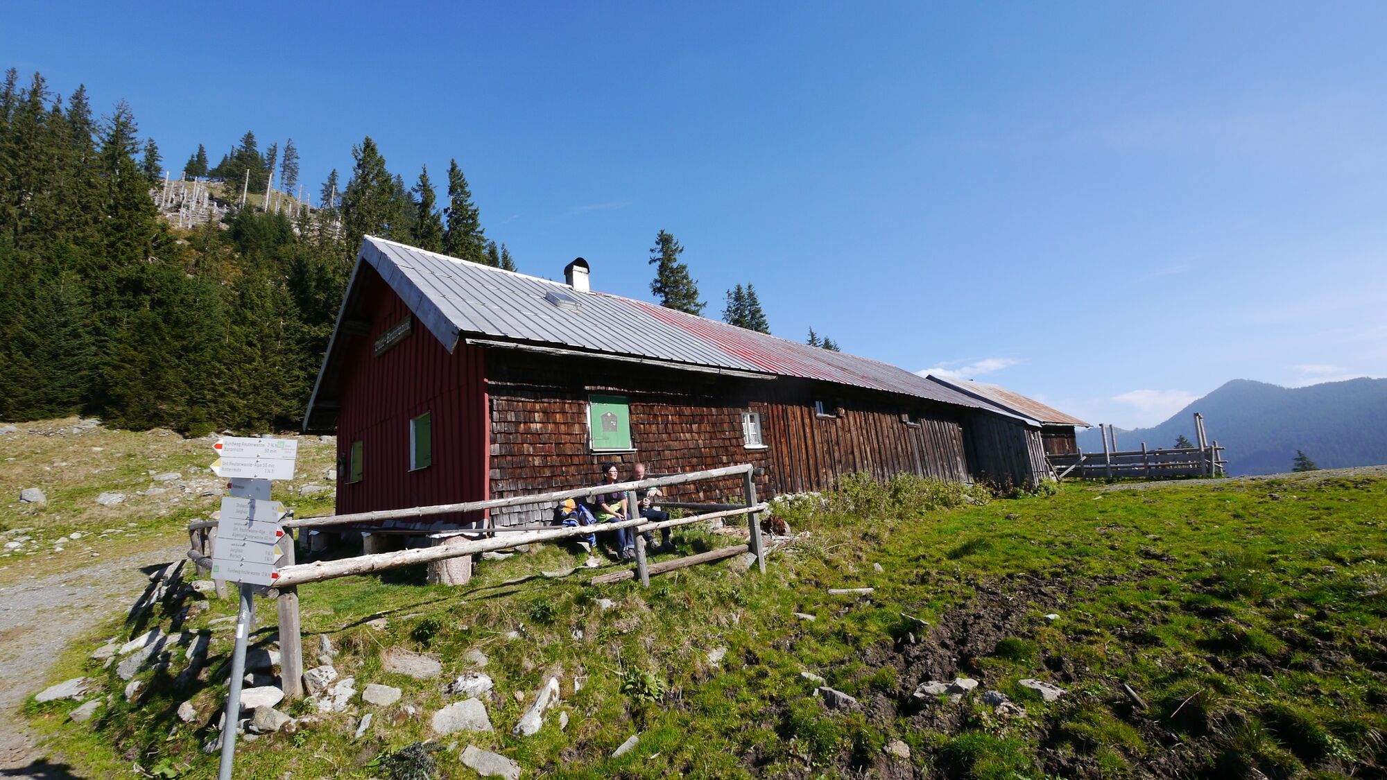
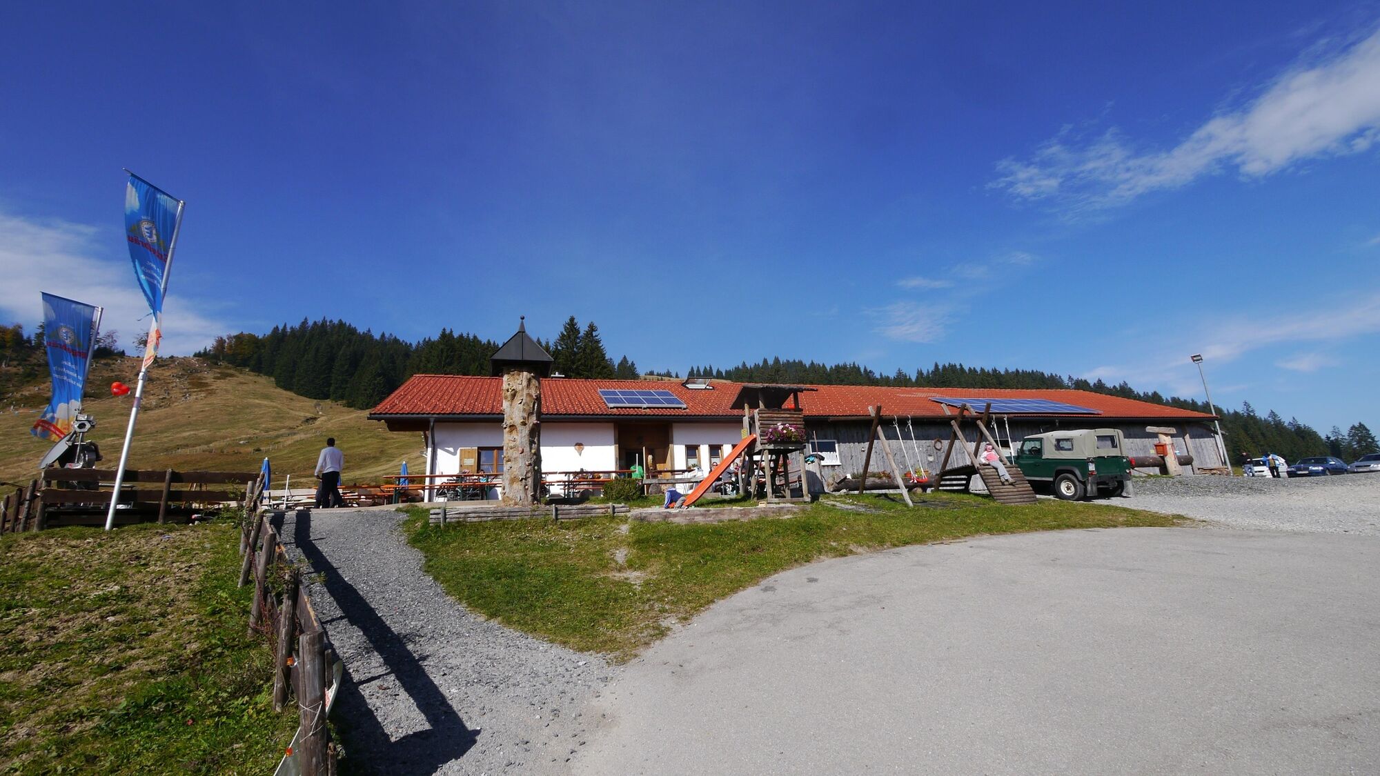
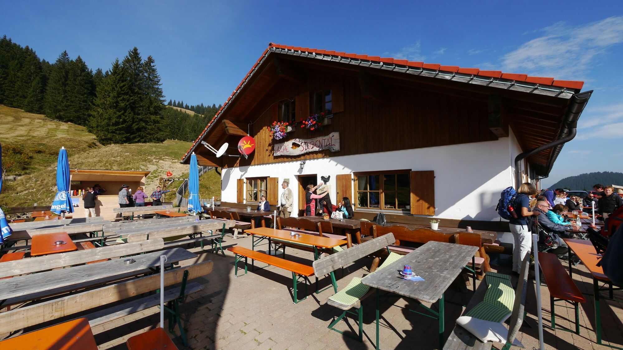
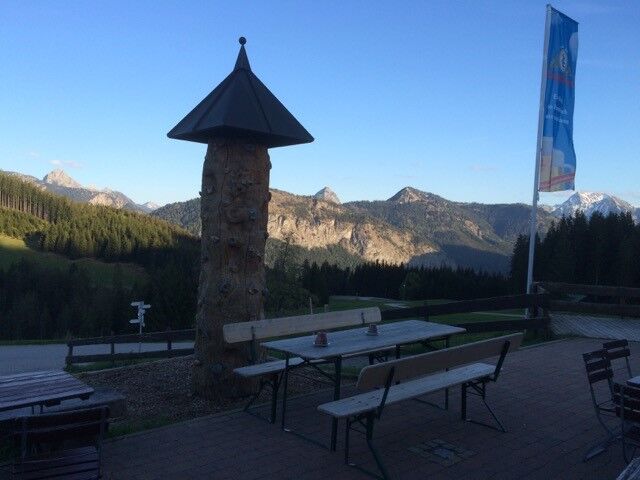
There should always be time for a rest on the Alpe Stubental.
- Additional information
-
Tourismusverband Tannheimer Tal
Alpe Stubental
- Directions
-
On the motorway A7 at the exit "Oy-Mittelberg" on the B310 towards Wertach and further to Jungholz. From the Tyrolean side via Reutte on the B198 towards Lechtal to Weißenbach, over the Gaichtpass along the B199 to Oberjoch and then on to Jungholz.
- Public transportation
-
By train to Sonthofen or Oy-Mittelberg, then by bus to Jungholz.
- Parking
-
Lift parking place in Jungholz


- Author
-
The tour Obere Alpe Reuterwanne is used by outdooractive.com provided.


General info
-
Allgäu
198
-
Tannheimer Tal
160
-
Jungholz
47