© TVB Wilder Kaiser - TVB Wilder Kaiser/Mathäus Gartner

© TVB Wilder Kaiser - TVB Wilder Kaiser/Mathäus Gartner

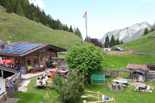
© TVB Wilder Kaiser - TVB Wilder Kaiser/Simon Oberleitner

- Brief description
-
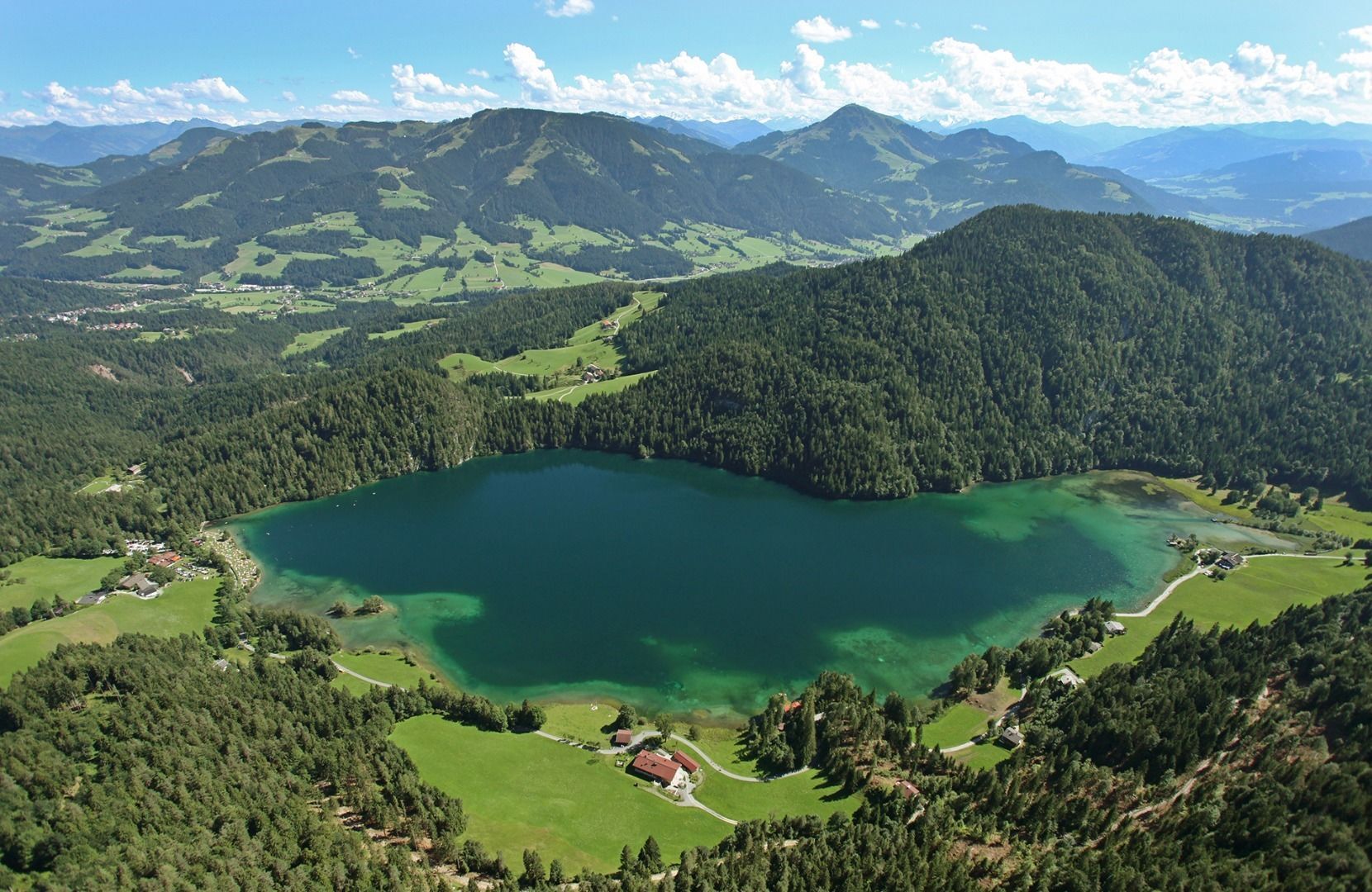
Picture-postcard panoramic scenery to Hintersteiner See lake, a natural gem.
- Difficulty
-
medium
- Rating
-
- Starting point
-
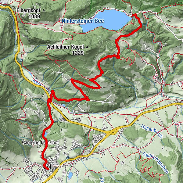
Villag Center, Söll (689 m)
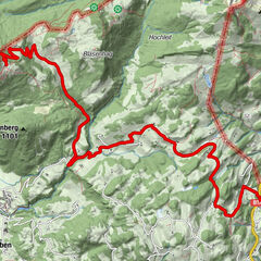
- Route
-
Söll0.0 kmDorfbichl0.5 kmGasthof Oberstegen2.2 kmAchleitberg5.5 kmSchupfen7.0 kmHochegg7.7 kmGreidern8.1 kmMarienkapelle Gut Alte Mühle9.0 kmBichl9.3 km
- Best season
-
JanFebMarAprMayJunJulAugSepOctNovDec
- Description
-
From Söll village centre, cycle towards Franzlhof and past the picturesque Moorsee lake to Gasthof Oberstegen
inn. Shortly before that, take the underpass and go left and then right again over the bridge towards Achleitberg mountain. The sharply bending route takes you through the forest to the former Gasthof Achleiten inn. Cycle through the Scheffau district of Greidern until you come to Hintersteiner See lake. The lido tempts you to take a refreshing dive into the cool waters or treat yourself to something tasty at the Seestüberl restaurant.
- Directions
-
From Söll village centre, first follow the signs to “Franzlhof” along the public road. Continue past the picturesque Moorsee lake down to the Gasthof Oberstegen inn. Soon you have to cross the main road and then the climb starts after the bridge. It’s about 5 km over a series of sharp bends to Achleiten where there’s a far-ranging picture-book panoramic view. Once you've reached the top, you can take a well deserved rest before carrying on to Hintersteiner See lake - the Kaiser’s jewel. This trail is only about 2 km long and mostly downhill. It’s possible to cycle on either to Scheffau or Söll.
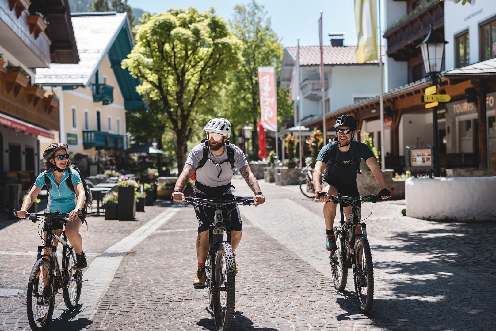
You can also do this tour by e-bike. - Highest point
- 1,003 m
- Endpoint
-
Hintersteiner See Lake, Scheffau (889 m)
- Height profile
-

- Equipment
-
Cycling clothes (breathable), cycle helmet, change of clothes, sun protection (sunglasses, sun cream, headgear), waterproofs, water bottle, first aid kit, route description
- Directions
-
Heading from Wörgl, Kufstein or St. Johann on the B178 road, take the exit to Söll and then take the exit to Söll centre (“Söll, Zentrum”) at the roundabout. Turn left immediately afterwards and follow the road. Then turn right at the next intersection (opposite SPAR supermarket).
West Pölven public car park is located to the east of the supermarket car park. The Tourist Information Office is in the pedestrianised zone. - Public transportation
- Parking
-
West Pölven public car park, Söll (689 m) – free
- Author
-
The tour MTB Tour Söll - Hintersteiner See Lake is used by outdooractive.com provided.
GPS Downloads


General info
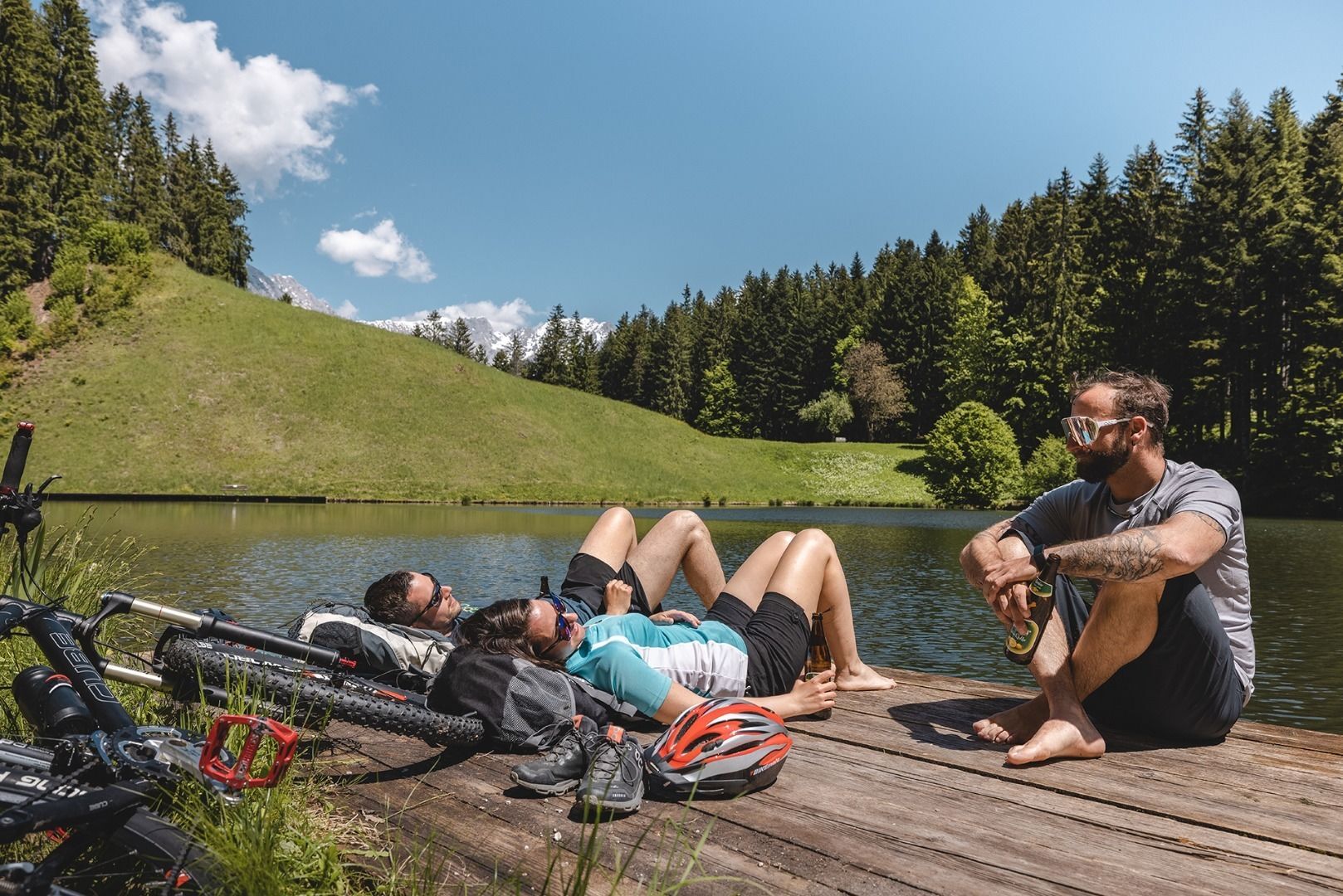
Refreshment stop
A lot of view
Other tours in the regions
-
Kufsteinerland
379
-
Söll
118