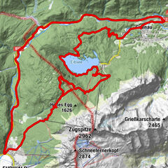
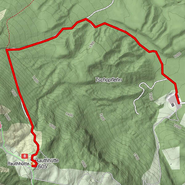
Tour data
2.59km
1,179
- 1,589m
405hm
405hm
02:00h
- Brief description
-
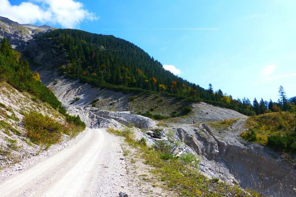
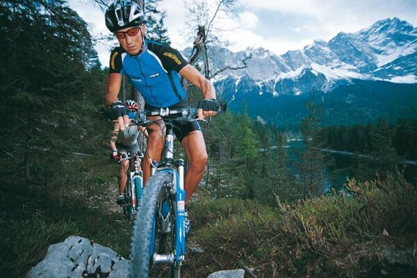
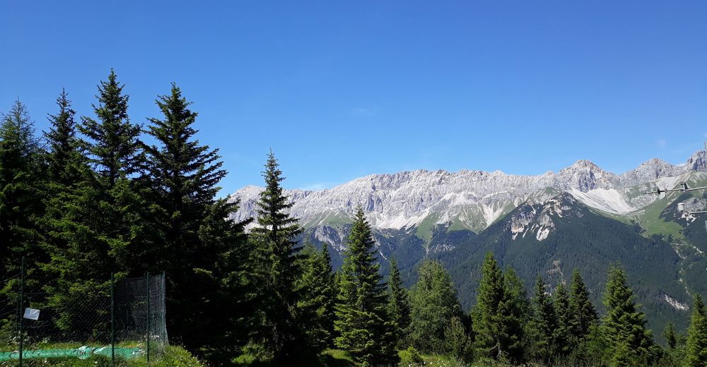
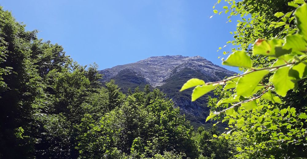
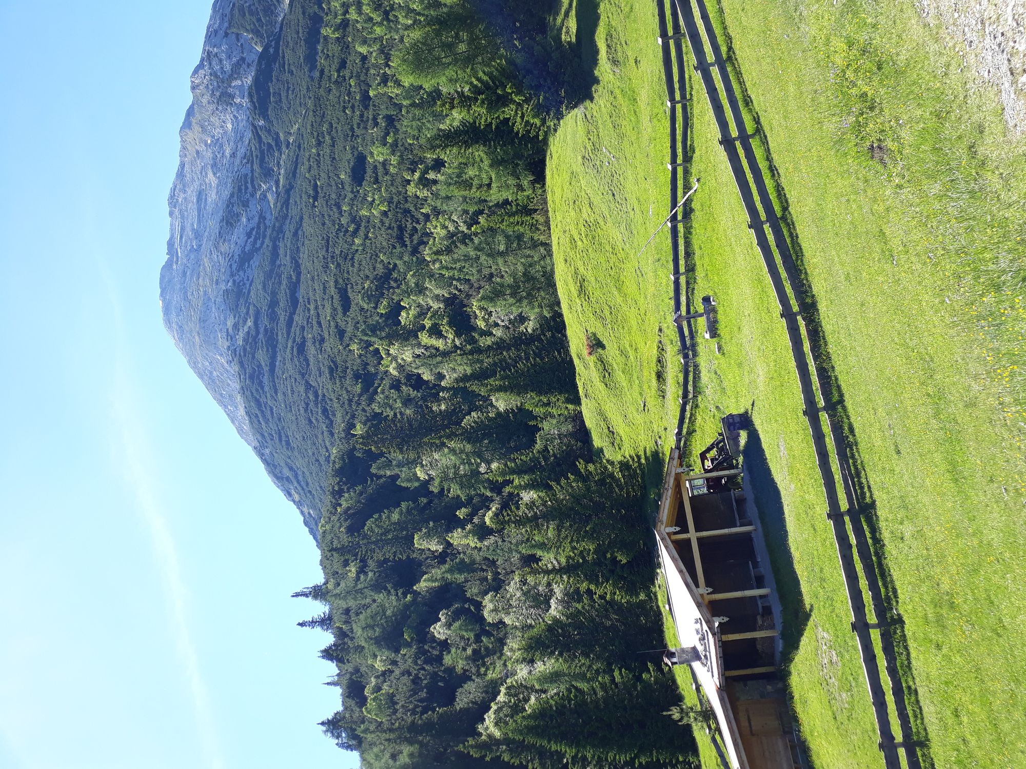
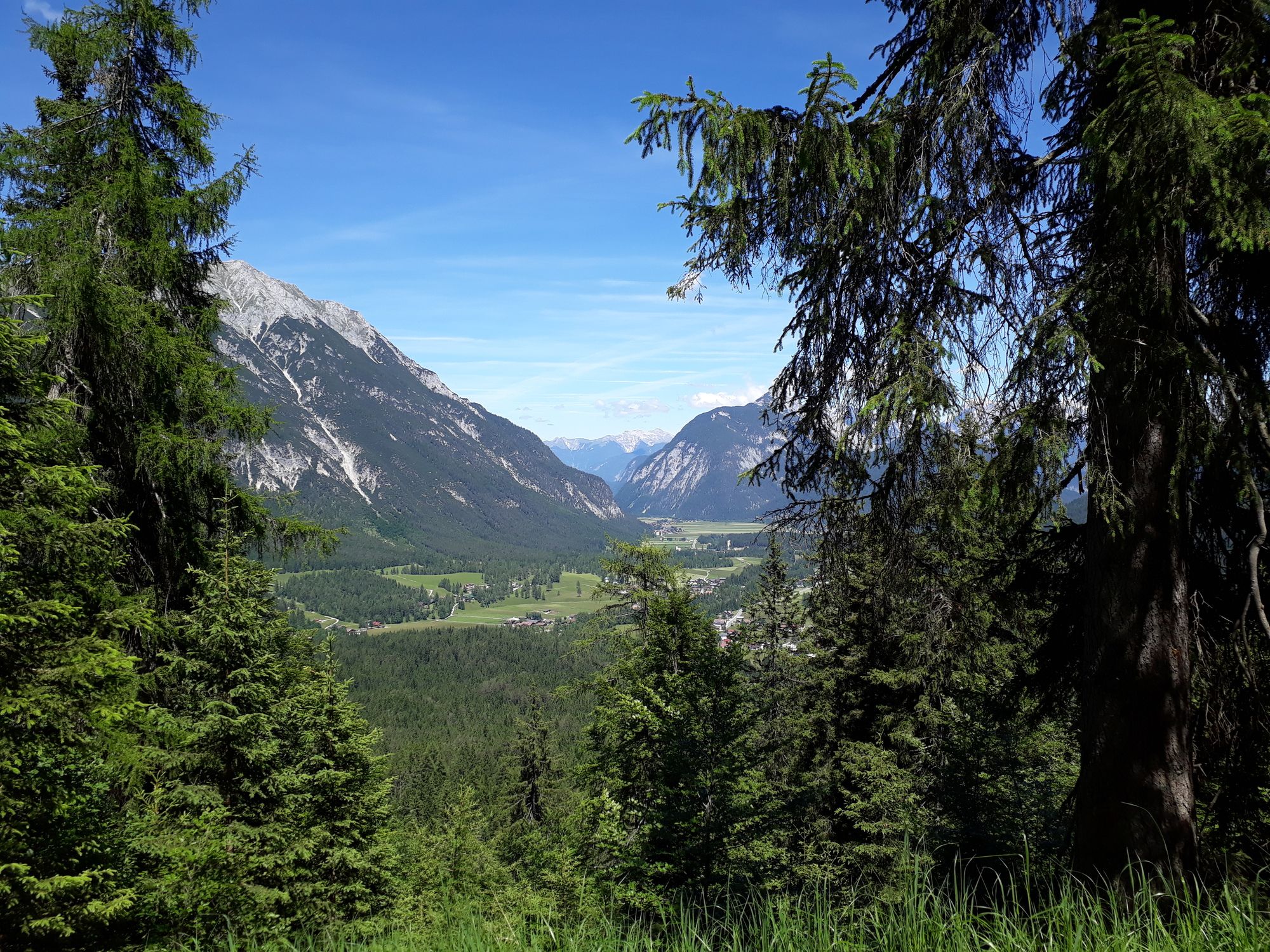
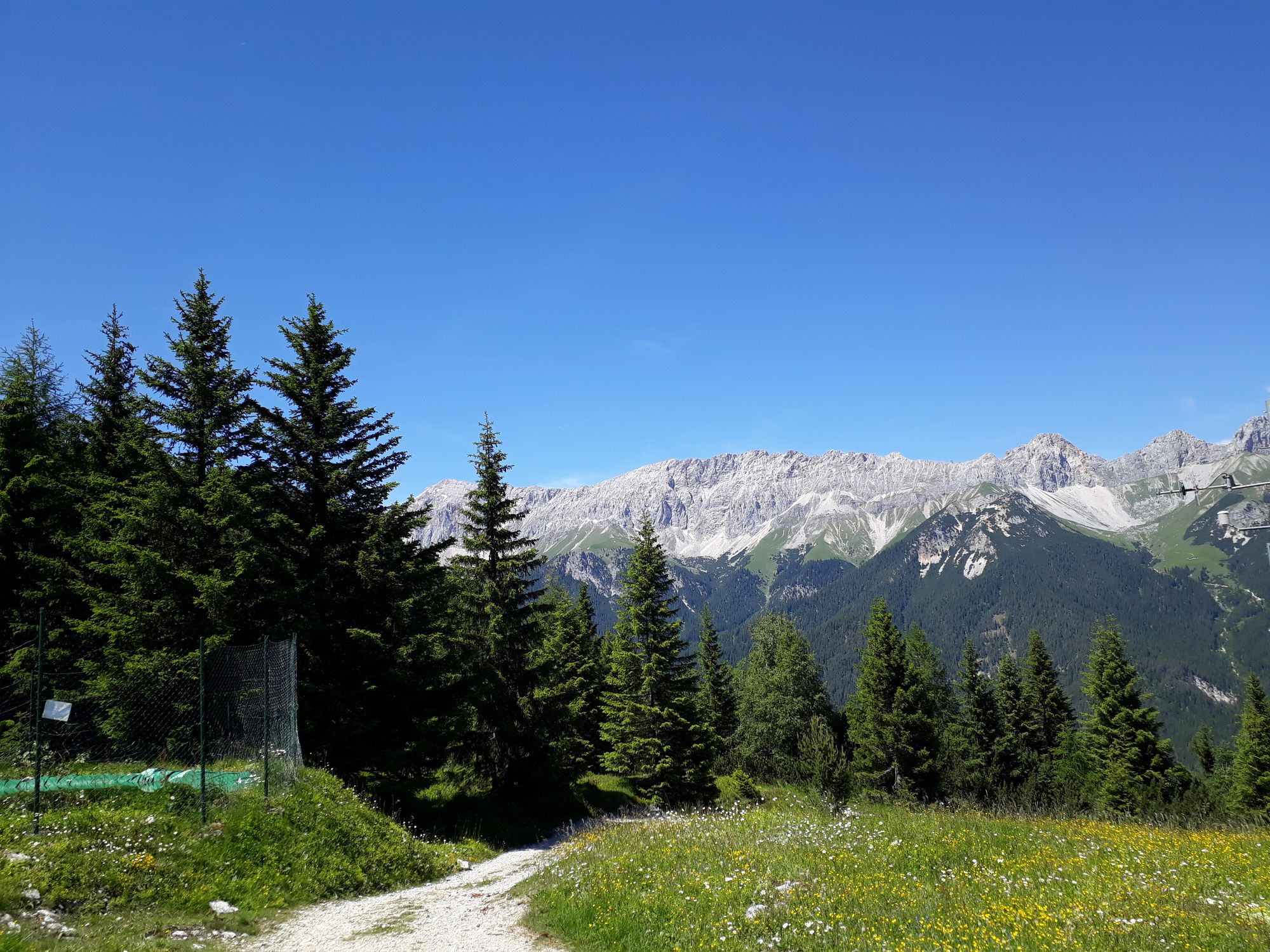
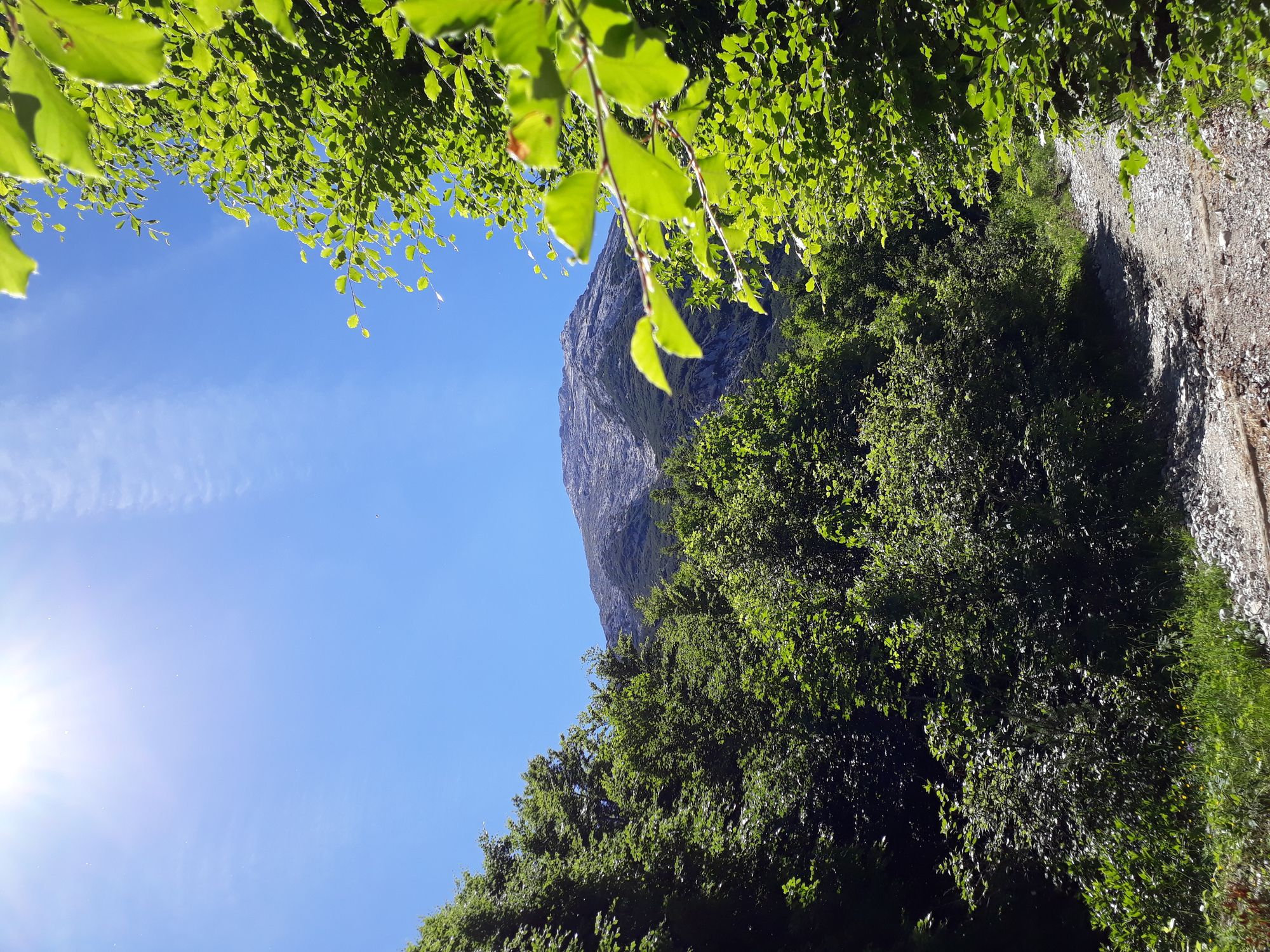
schöne Aussicht, schwierige MTB Tour
- Difficulty
-
difficult
- Rating
-
- Starting point
-
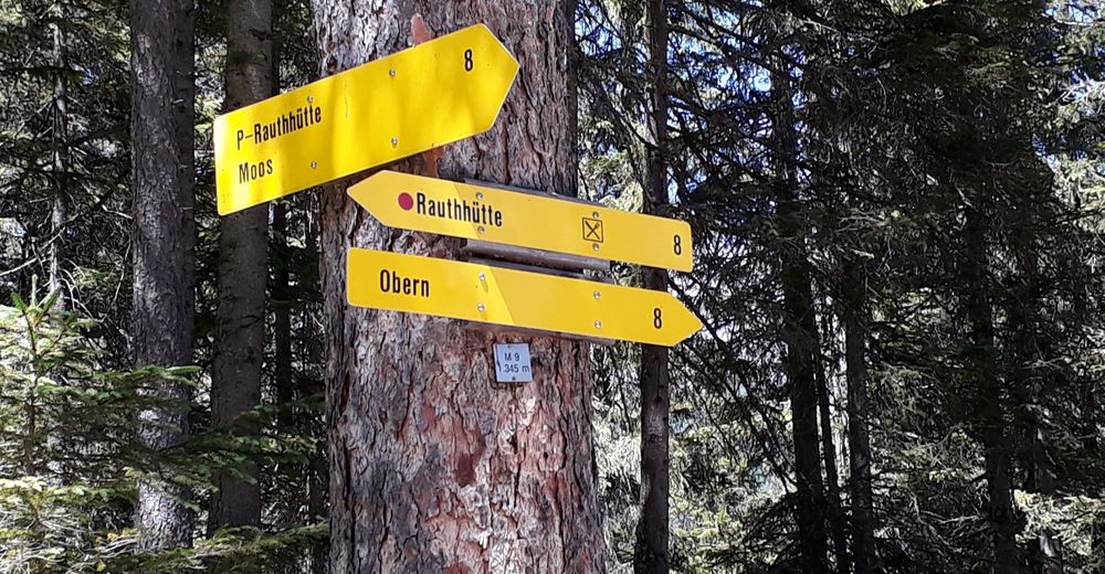
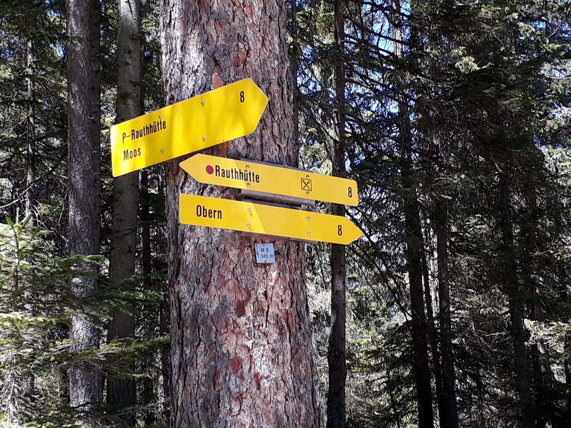
Parkplatz Moos oder ab Obern
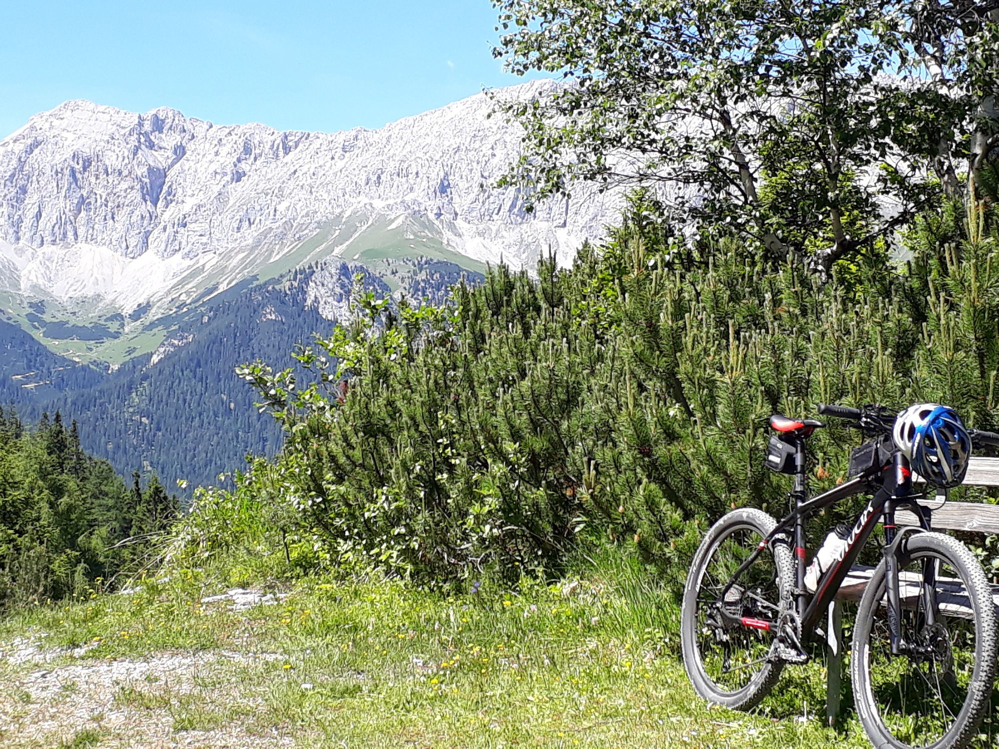
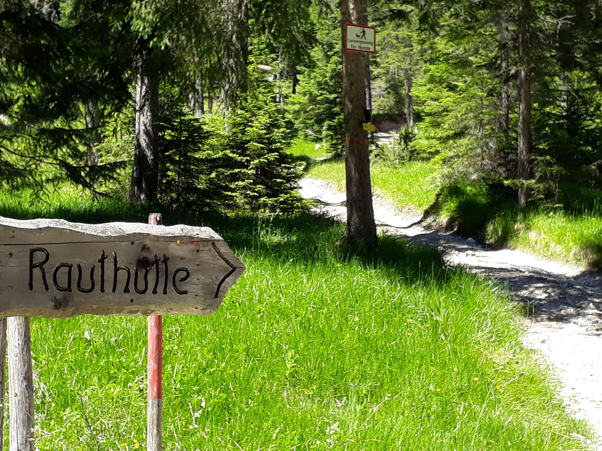
- Route
-
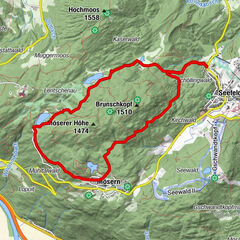
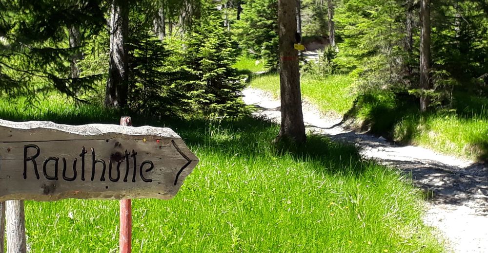
Mundestadl0.0 kmRauthhütte2.5 km
- Best season
-
JanFebMarAprMayJunJulAugSepOctNovDec
- Highest point
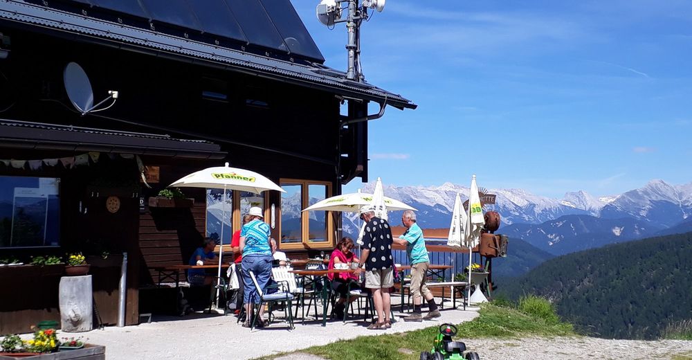
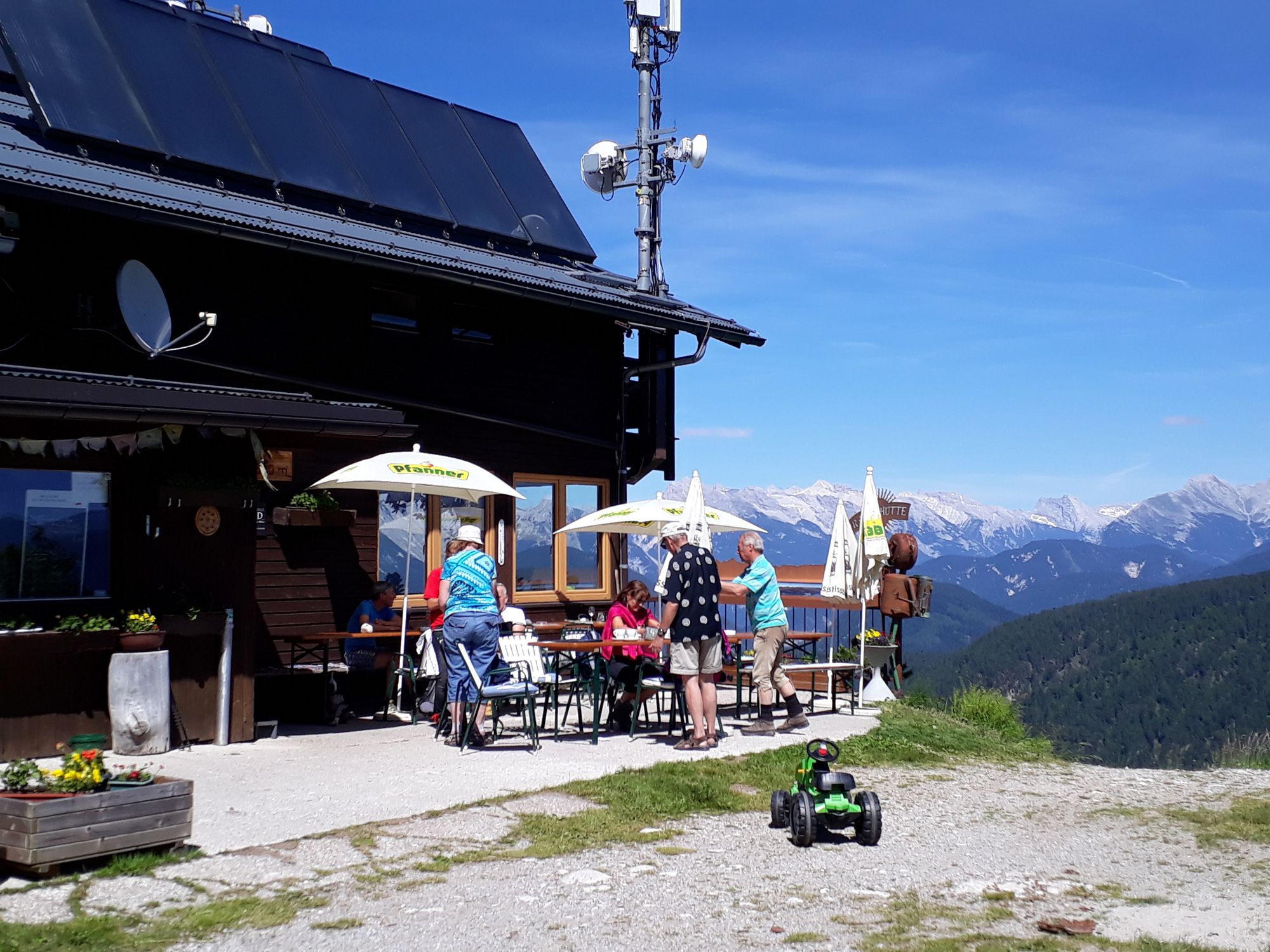
- Rauthhütte (1,589 m)
- Endpoint
-
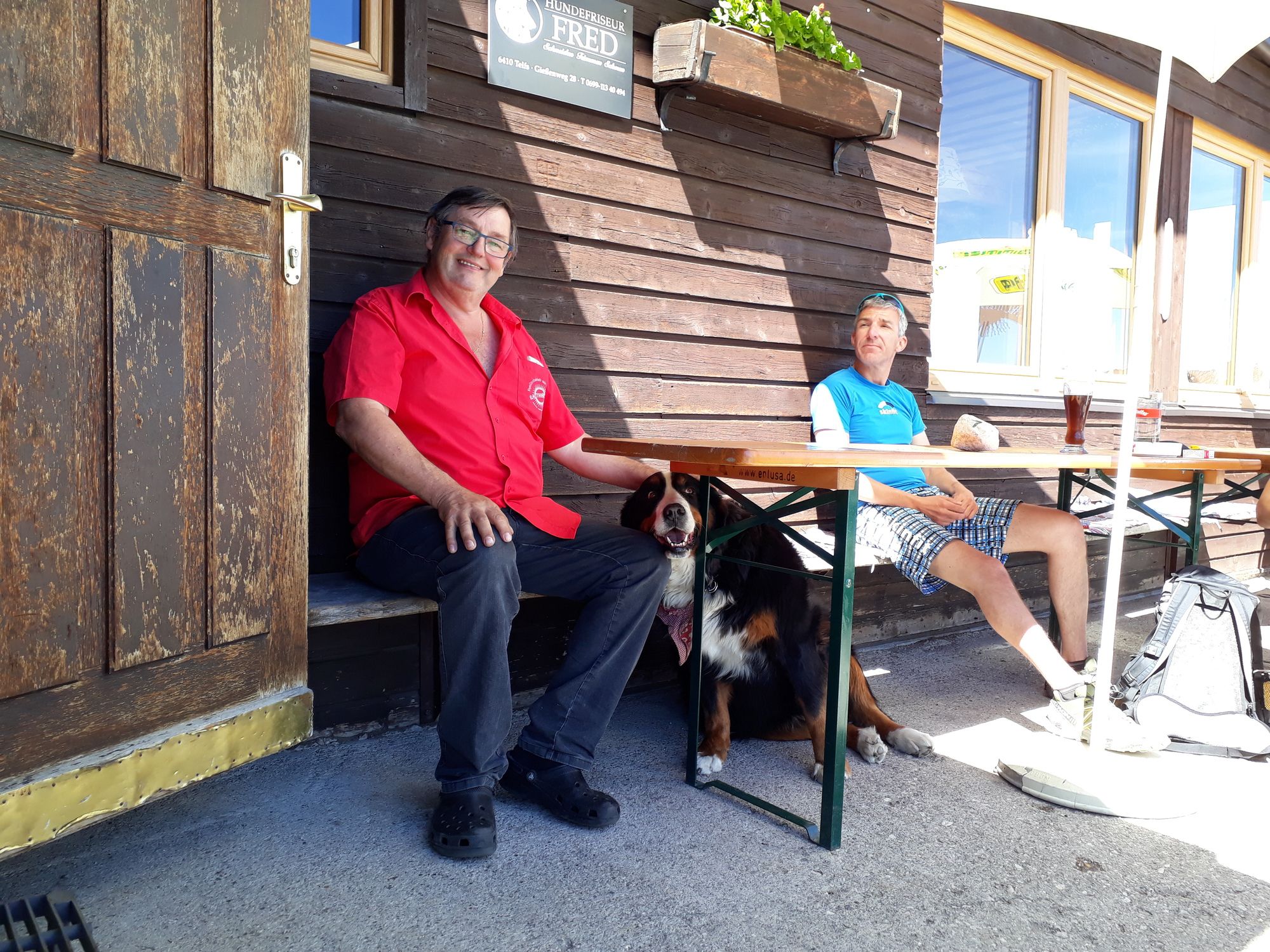
Rauthhütte
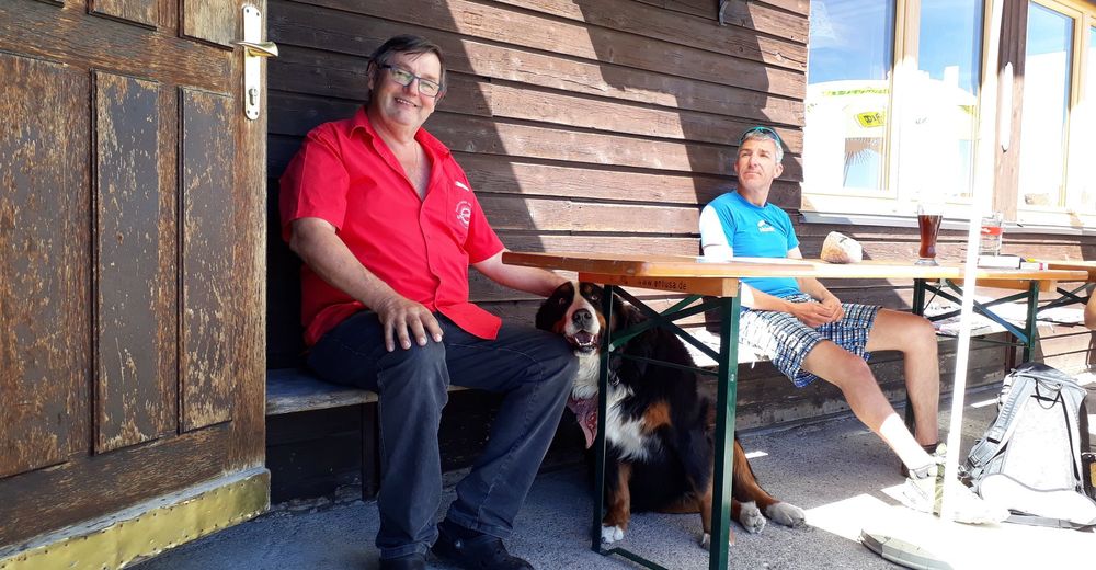
- Rest/Retreat
-
Rauthhütte
- Ticket material
-
freytag&berndt WK 322

- Source
- joerg pircher
GPS Downloads


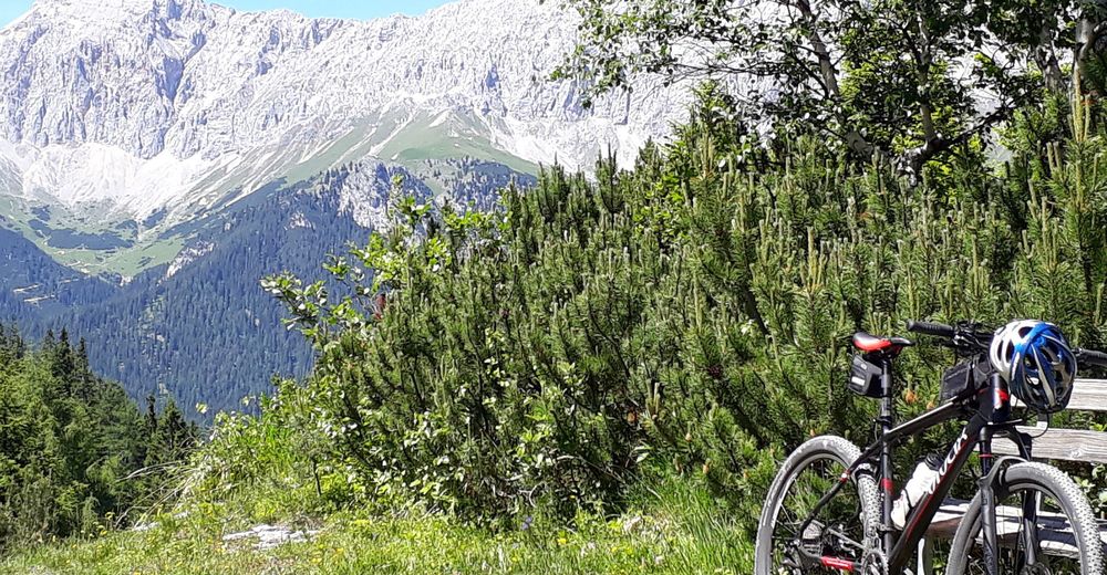
Surfaces
Asphalt
Gravel
(100%)
Forest
Mountain paths
Single trails
Trial
Traffic
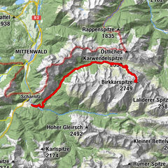
Other tours in the regions