
- Brief description
-
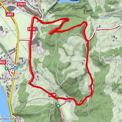
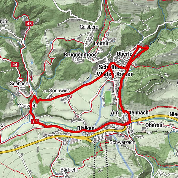
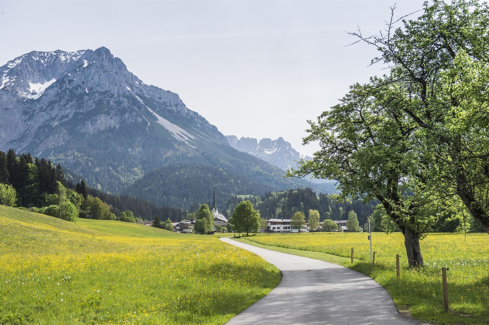
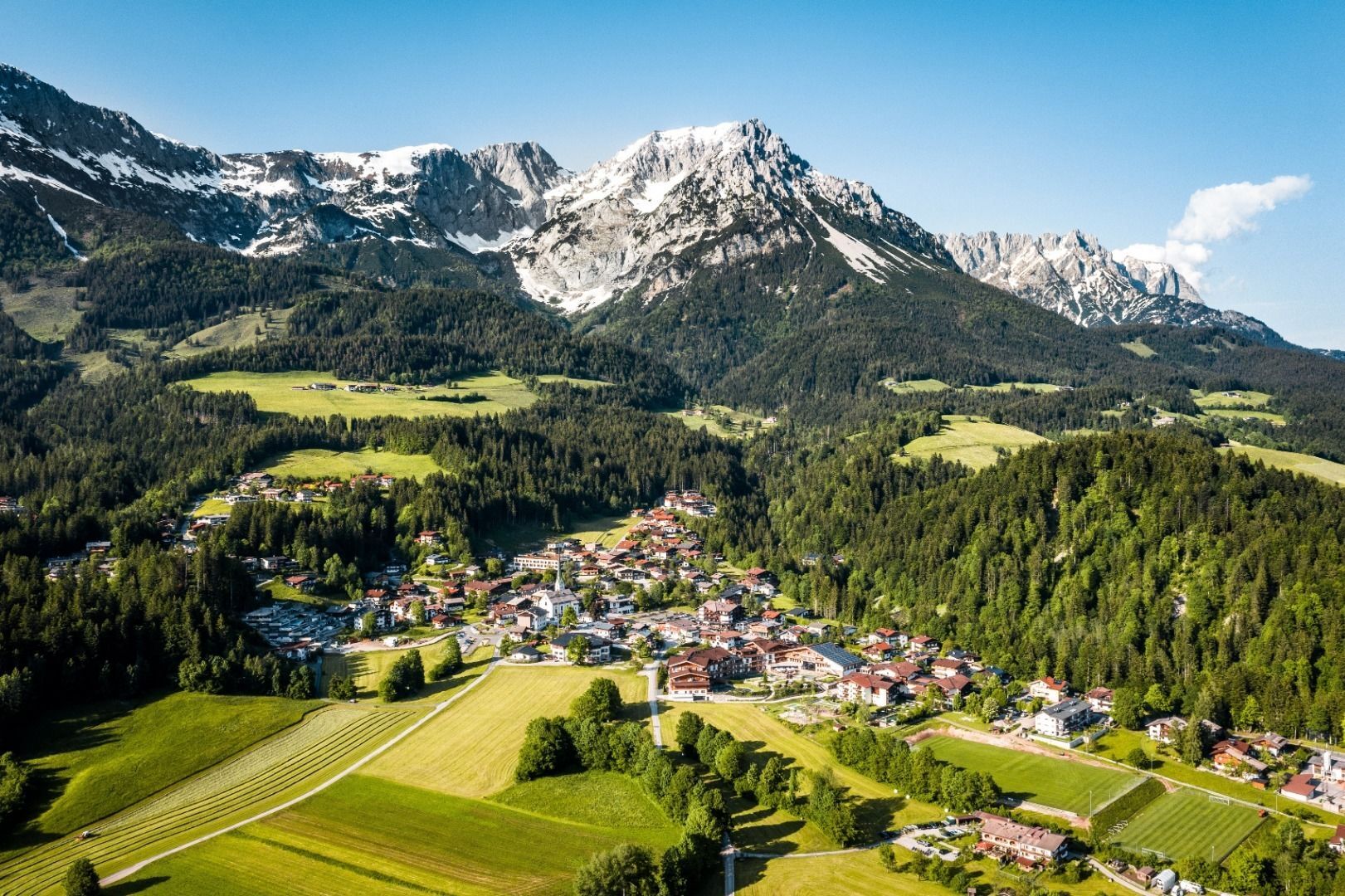
Explore the village Scheffau on a circuit run
- Difficulty
-
easy
- Rating
-
- Starting point
-
Starting point Scheffau Tourist Information Office (752 m)
- Route
-
Scheffau am Wilden Kaiser0.1 kmPfarrkirche Scheffau0.1 kmWaldkapelle0.6 kmOberfeld0.6 kmAm Trattenbach2.1 kmBlaiken2.9 kmWurzach (661 m)3.9 kmSonnwies4.6 kmPfarrkirche Scheffau5.5 km
- Best season
-
JanFebMarAprMayJunJulAugSepOctNovDec
- Description
-
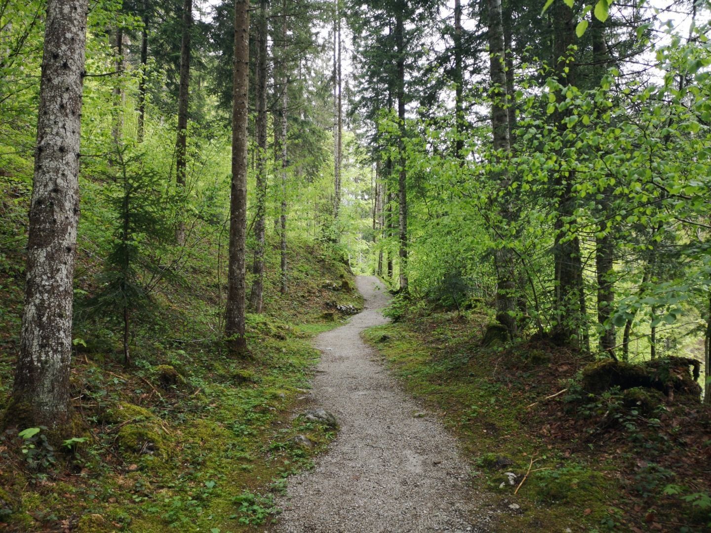
Start is at the tourist information office Scheffau. After the church, turn left, run past the municipal office and follow the asphalt road towards Söll (path no. 56). At the edge of the forest there is a short section downhill on the forest path, at the next crossroads turn left and run past the former Cafè Rosemarie. Continue towards Scheffau via the Blaiken district. At the Blaiken guesthouse continue straight on until you reach the Gasthof Zum Wilden Kaiser and turn left up towards Scheffau. After the first sharp left bend, turn right into the forest (path no. 814). Now follow the Kneipp circuit along the creek to the end and take a path on the left back to the center of Scheffau.
- Highest point
- 777 m
- Endpoint
-
Starting point Scheffau Tourist Information Office (752 m)
- Height profile
-

- Equipment
-
Running shoes or trail running shoes (depending on the route), comfortable, breathable clothing, poss. lightweight rucksack with water bottle and snacks
- Directions
-
Heading from Wörgl, Kufstein or St. Johann on the B178 road, take the exit to Scheffau. Shortly before you come to the church, you will see the Tourist Information Office and the hiking starting point on the left-hand side (short-stay parking zone).
- Public transportation
- Parking
-
Public car park, Scheffau (740 m), north of the Community Hall - free
- Author
-
The tour Blaiken-Scheffau running circuit is used by outdooractive.com provided.