- Brief description
-
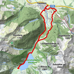
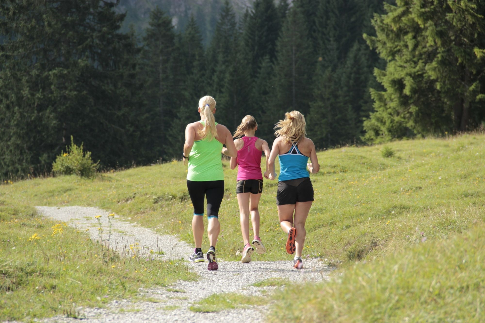
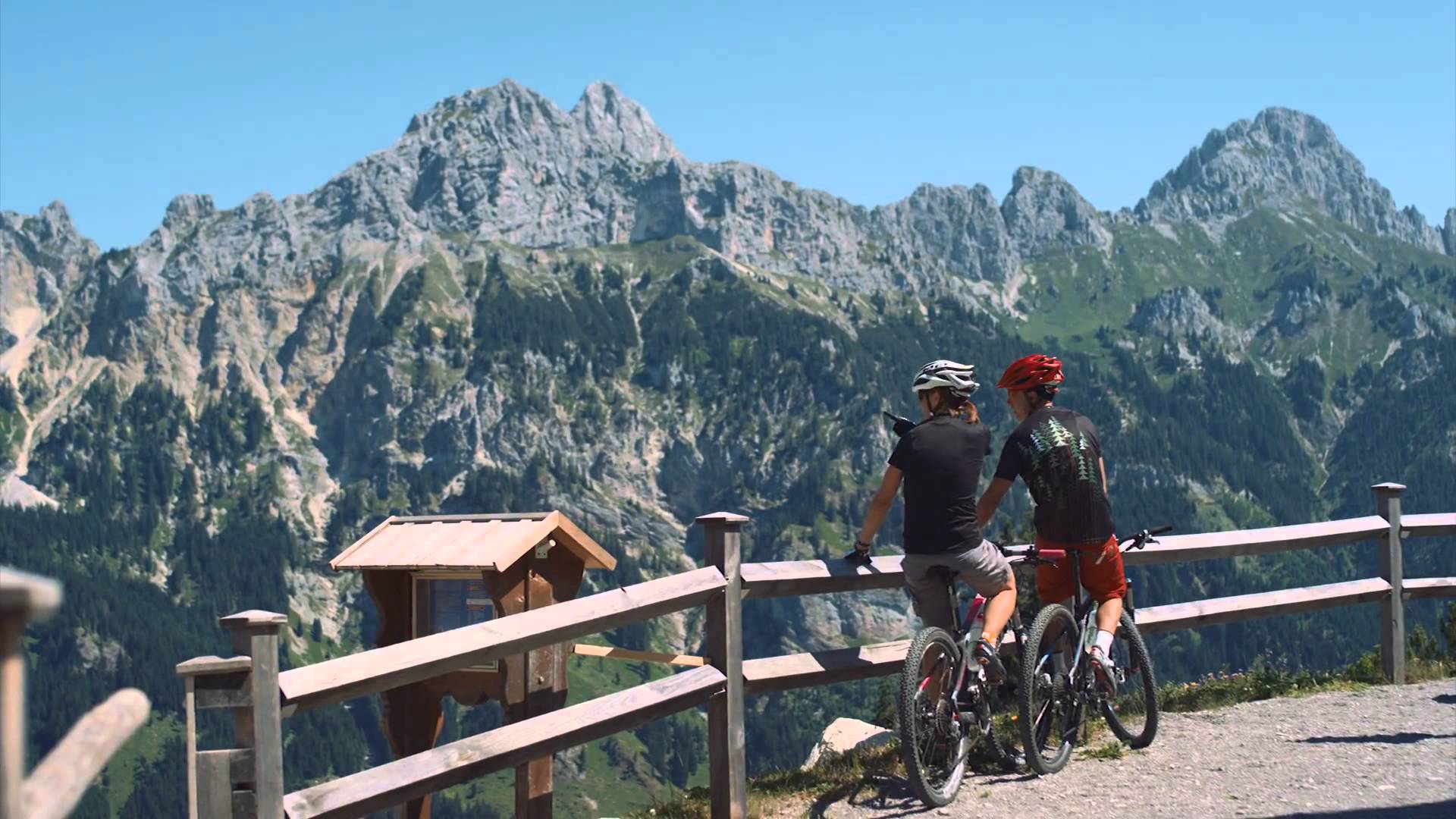
The entire course of the Toruve offers again and again impressive views (e.g. Tannheimer Tal, Zugspitze, Lechtaler Alpen, ...)
- Difficulty
-
difficult
- Rating
-
- Starting point
-
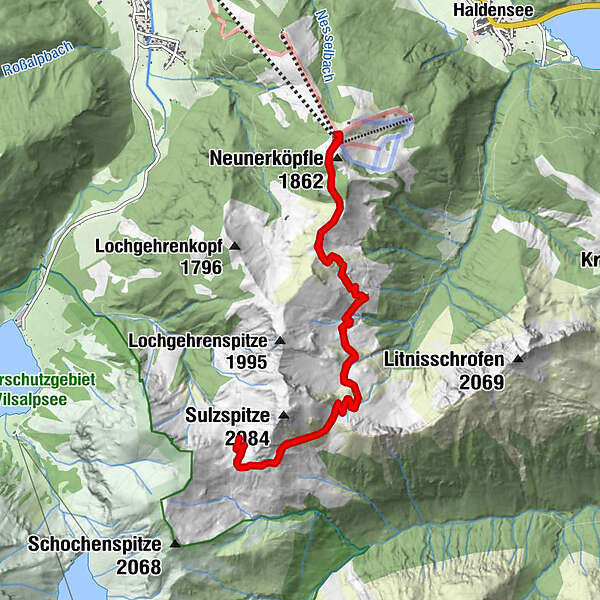
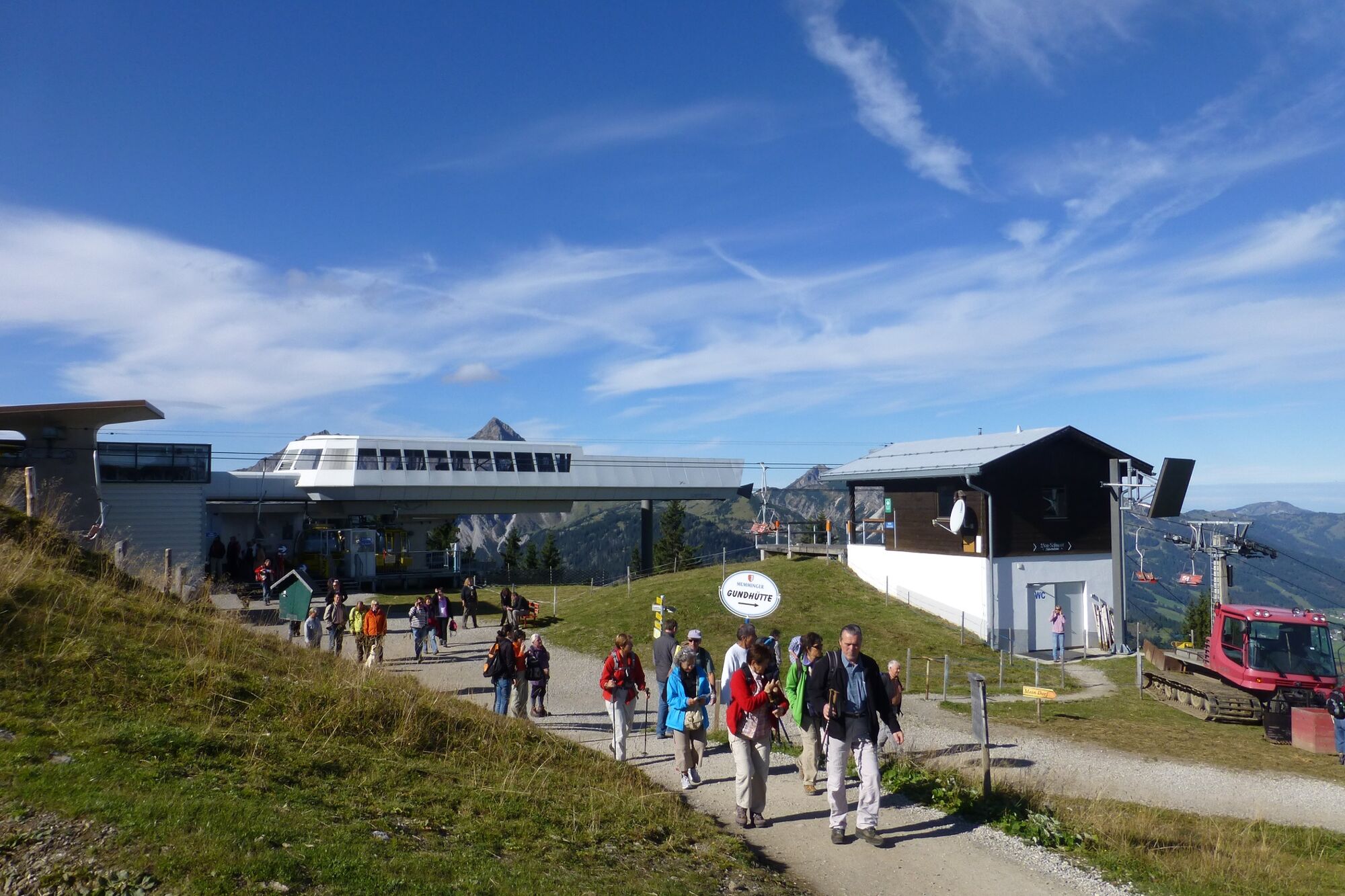
Top station Neunerköpfle in Tannheim
- Route
-
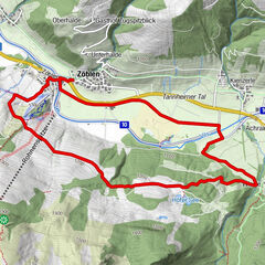
Strindenalpe1.9 kmGappenfeldalpe5.2 kmStrindenalpe8.6 km
- Best season
-
JanFebMarAprMayJunJulAugSepOctNovDec
- Description
-
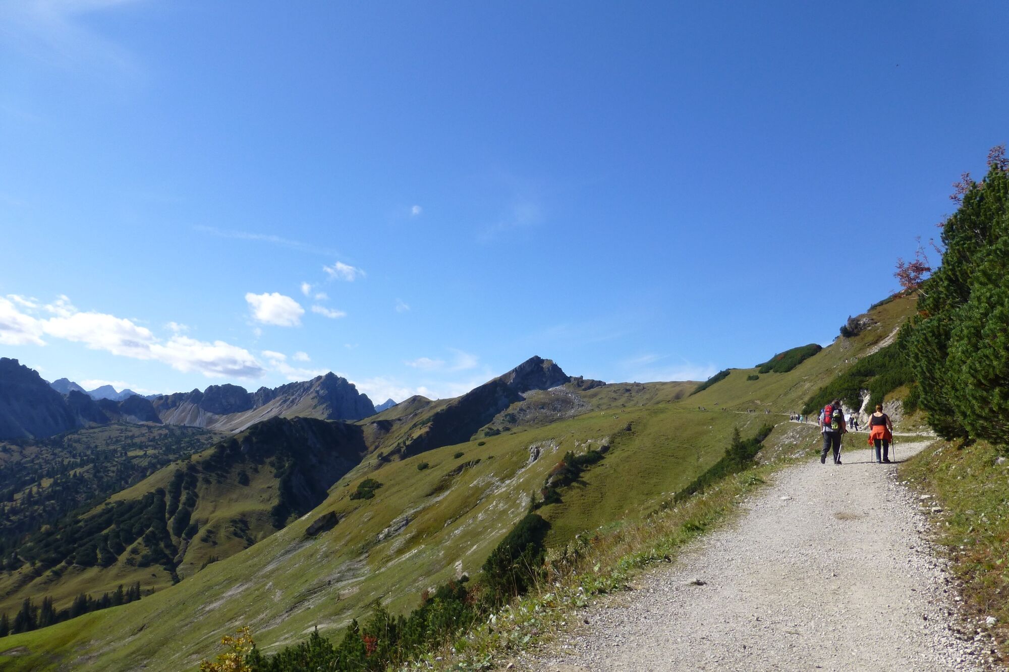
Take the cable car to the Neunerköpfle mountain station. From there in a southerly direction on an easy mountain path to the Obere Strindenalpe. Continue on a track over the Strindenscharte to the Gappenfeld Alpe.
There is the possibility to go back the same way, or the descent via the Landsberger Hütte and Vilsalpsee.
- Directions
-
Take the cable car to the Neunerköpfle mountain station. From there in a southerly direction on an easy mountain path to the Obere Strindenalpe. Continue on a track over the Strindenscharte to the Gappenfeld Alpe.
We follow the same path back to the starting point.
- Highest point
- 1,890 m
- Endpoint
-
Top station Neunerköpfle in Tannheim
- Height profile
-

- Equipment
-
The personal equipment must be safe and serviceable and meet the relevant technical standards. Everyone is recommended to inform themselves about the planned tours in technical literature or on site. Complete equipment is strongly recommended, even for experienced riders!
- Safety instructions
-
It should be noted that running and walking may involve a risk of accident and injury. Despite careful route planning, a basic risk always remains. Tour preparation through endurance sports, appropriate technical training and further education as well as personal prudence reduces the risk of accidents and injuries.
- Tips
-
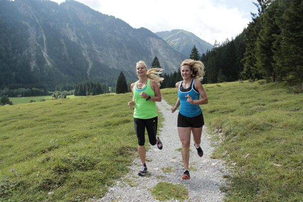
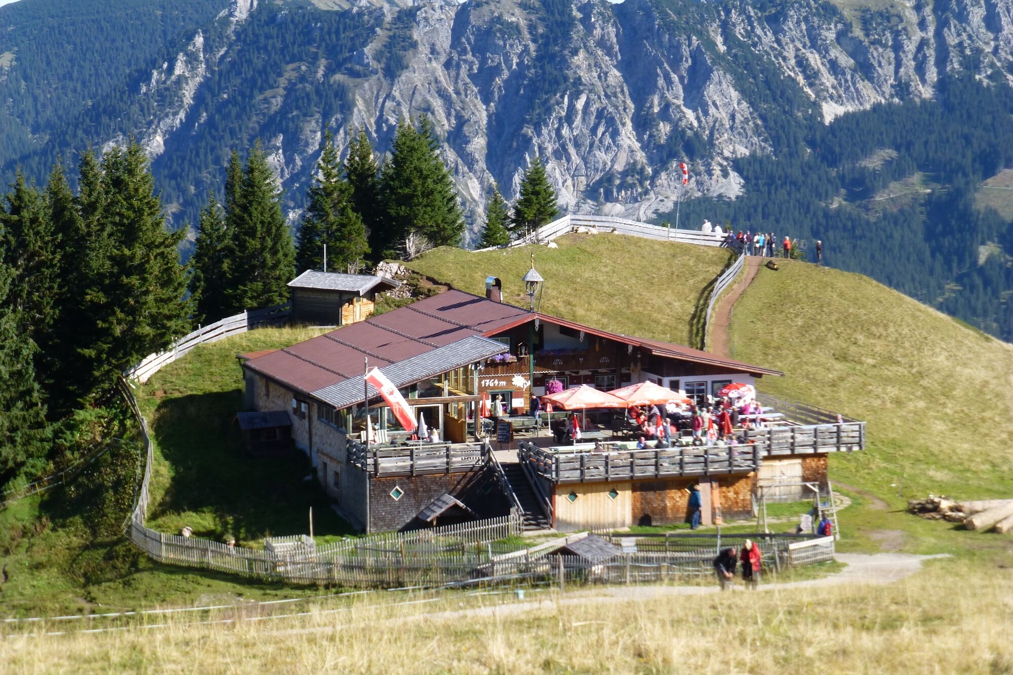
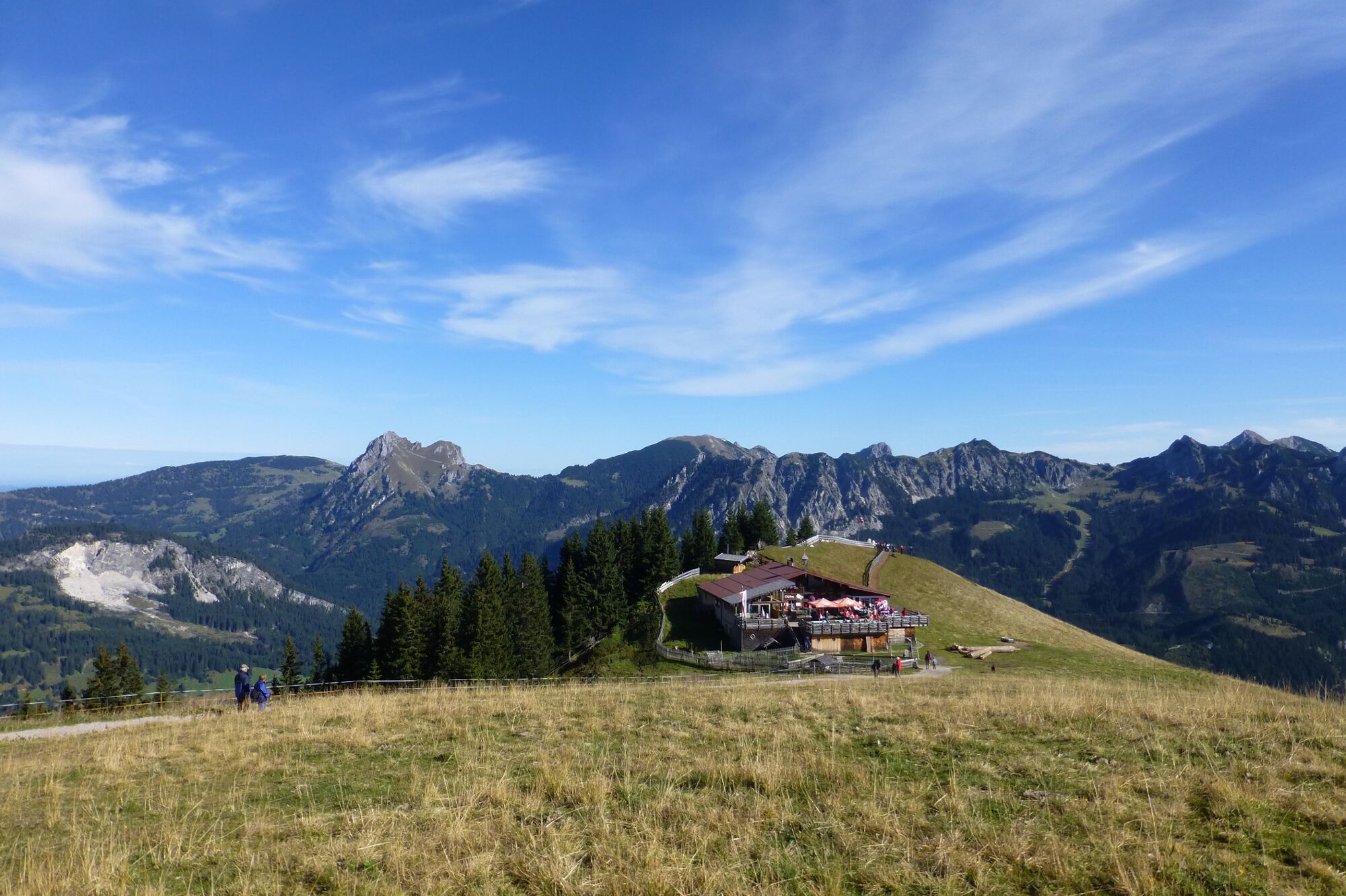
A stop in one of the huts on the way, hearty snacks are waiting for you.
- Additional information
-
Tourism info Tannheimer Tal
- Directions
-
On the motorway A7 at the exit "Oy-Mittelberg" on the B310 towards Wertach and to Oberjoch. There follow the signposting "Tannheimer Tal" B199 until you reach Tannheim. From the Tyrolean side via Reutte on the B198 towards Lechtal until Weißenbach, over the Gaichtpass along the B199 until Tannheim.
- Public transportation
-
By train to Sonthofen, Pfronten/Ried or Reutte, then by bus to Tannheim
- Parking
-
Lift parking place in Tannheim - with costs


- Author
-
The tour altitude route is used by outdooractive.com provided.