


- Brief description
-
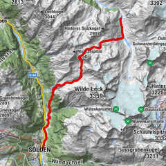
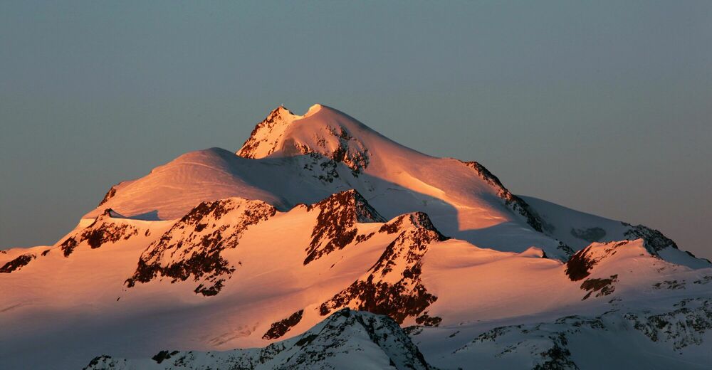
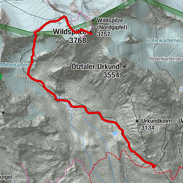
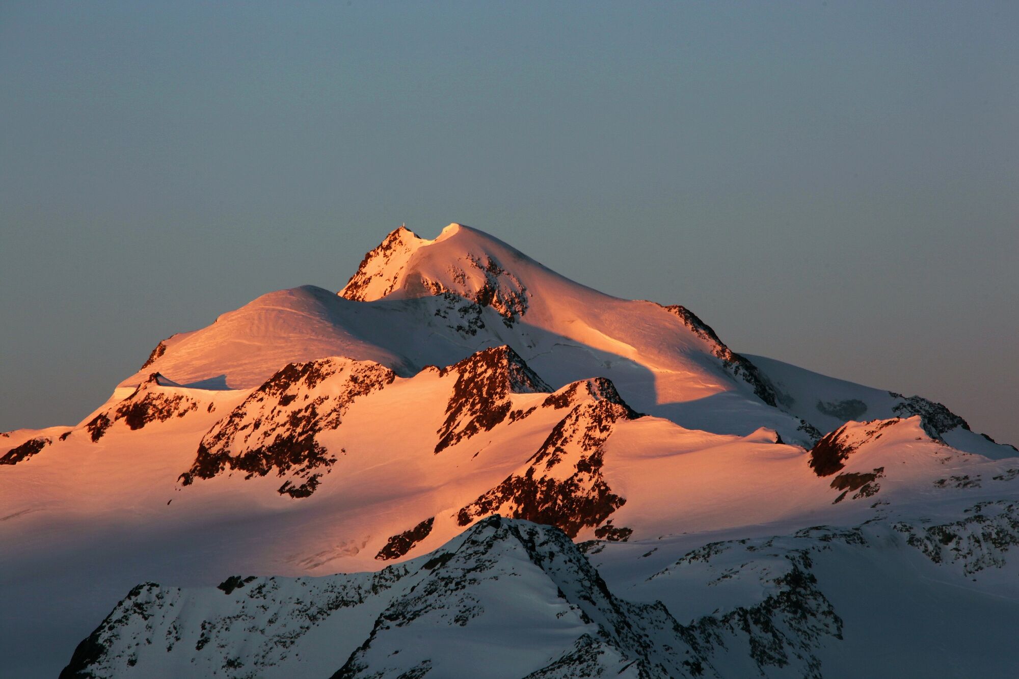
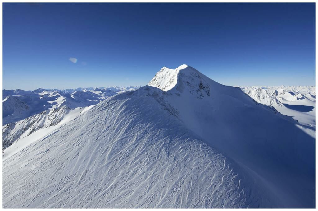
BRESLSAUER HÜTTE -> WILDSPITZE
- Difficulty
-
difficult
- Rating
-
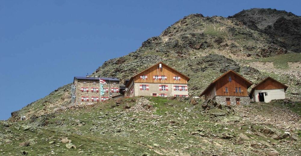
- Starting point
-
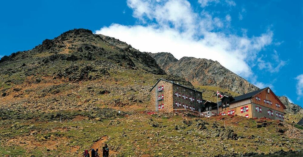
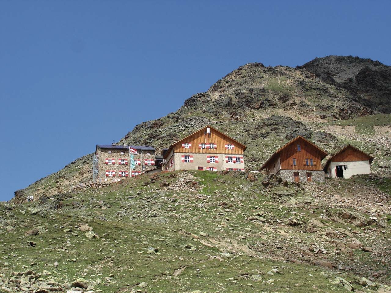
Breslauer Hütte
- Route
-
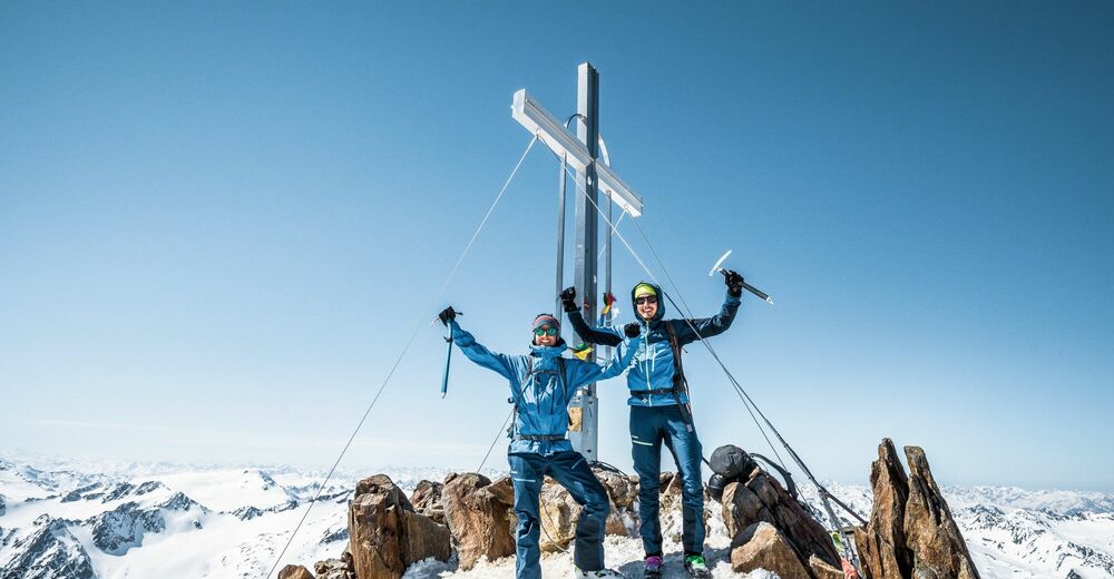
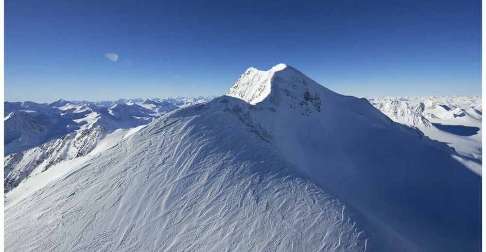
Wildspitze (3,768 m)4.3 km
- Best season
-
JanFebMarAprMayJunJulAugSepOctNovDec
- Description
-
Hike from Breslauer Hütte across the Rofenkar Glacier towards Wildspitze; descend via the Mitterkarjoch col towards Breslauer Hütte. Walking time: approx. 6 ½ to 7 hours; descend to Vent (¾ h) to the lift.
- Directions
-
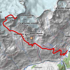
Wildspitze (3.774 m)
Starting point: Breslauer Hütte
1) From Breslauer Hütte on the „normal“ route:
Follow the marked trail (partially marked by stones) onto Mitterkar glacier. Across the glacier (quite steep towards the end) up to Mitterkarjoch. Onwards across Taschach glacier (some crevasses) and Firnschneide (often icey) up to the southern peak.
Duration: ca. 4 hours
2) From Breslauer Hütte across Rofenkar glacier:
From the refuge in a northerly direction on a good path to Rofenkar glacier. Ascent across the glacier (numerous crevasses) towards Felsinsel (3.468 m) and pass this on the right, then turn westwards onto Urkundsattel. Across snow and ice up to the cliffs and across these (steep but not too difficult) to the southern summit.
Duration: ca. 4 hours
3) From Breslauer Hütte via Ötztaler Urkund:
Follow the path towards Mitterkar glacier, after about 5 minutes turn right and follow bends up to Urkundholm (3.140 m). Follow the track up to the south eastern ridge and across this (exposed climbing grade III) up to Ötztaler Urkund (3.556 m). Short descent and across Firn snow to Urkundsattel. Across snow and ice up to the cliffs and across these (steep but not too difficult) to the southern summit.
Duration: total ascent ca. 4 hours
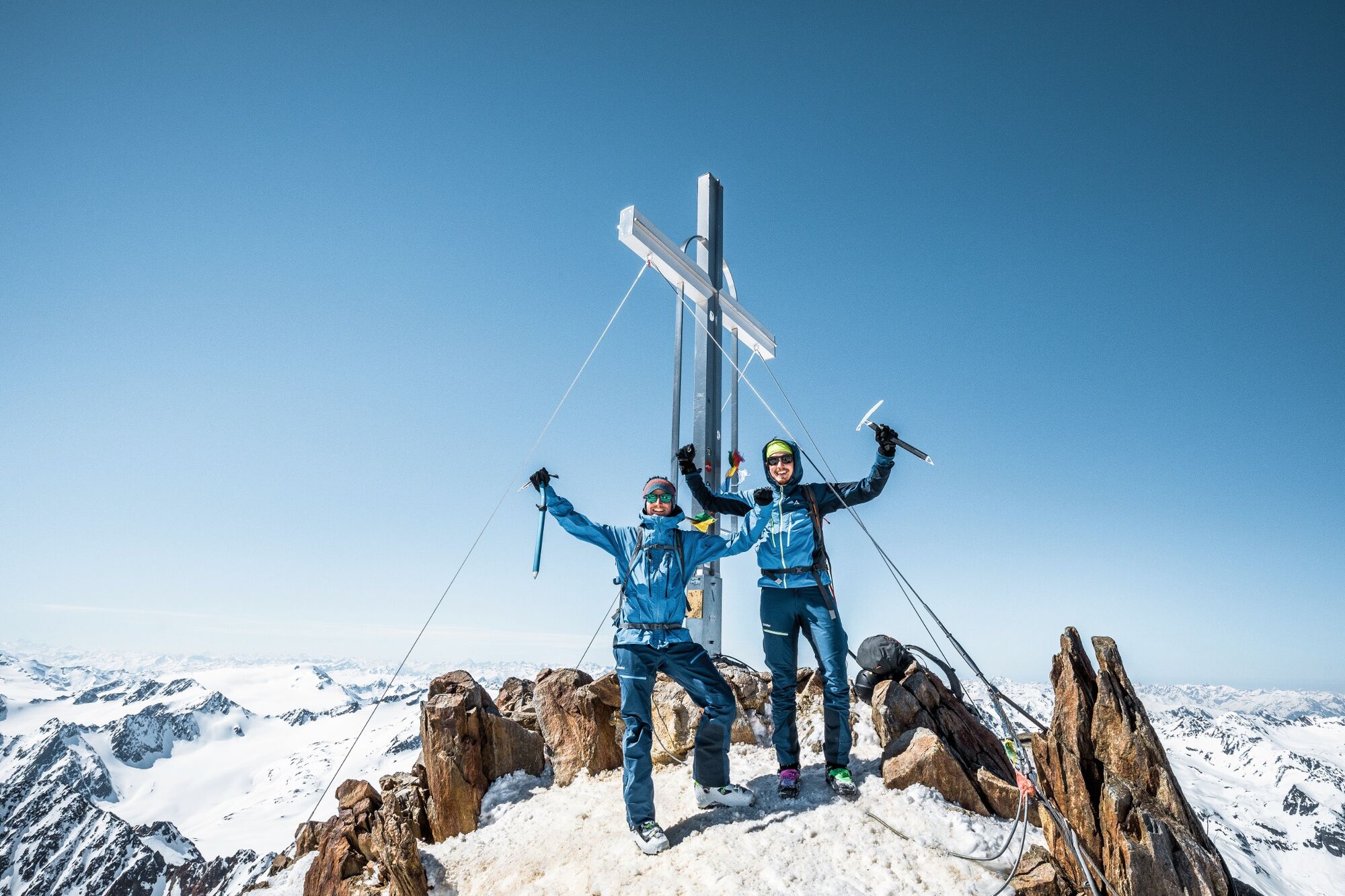
- Highest point
- 3,728 m
- Endpoint
-
Wildspitze
- Height profile
-

- Equipment
-
Appropriate equipment such as breathable suitable outdoor clothes for the weather, ankle-high walking boots, wind-, rain- & sun protection, hat, possibly gloves, is for all hikes and tours necessary. Please bring a first-aid box, a mobile phone, a walking map and if there is no hut on the way a snack and enough to drink.
- Safety instructions
-
For high alpine experienced mountaineers that are free from vertigo & surefooted. Excellent physical condition, extensive mountain experience, alpine climbing gear, safety- and orientation guide, good weather conditions recommended. Please pay attention to the current weather report: www.oetztal.com
- Tips
-
Reservation of the hut sleeping places necessary!
- Additional information
- Directions
-
The car drive to the Ötztal valley. Situated in Tirol, the Ötztal valley set off in southerly direction and is the longest side valley in the Eastern Alps. The journey with the car leads you through the Inntal valley to the entrance of the valley and further on through the valley. Among the toll motorways you can also use the country roads. A route planner will show you the easiest and most convenient way: www.google.at/maps
- Public transportation
- Parking
-
The following parking options are available in the mountaineering village Vent
- In summertime in front of the village (parking machine, only coins or EC card) and at the chairlift (at the ticket office of the mountain railways)
- In wintertime only at the chairlift
Cost: € 5,00 per day/car


- Author
-
The tour Breslauer Hut - Wildspitze is used by outdooractive.com provided.