


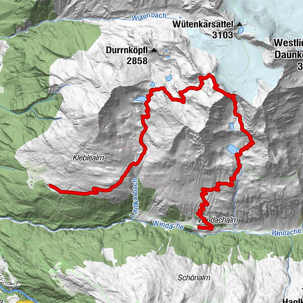
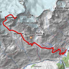
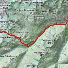
Tour data
12.15km
1,938
- 3,174m
1,251hm
1,193hm
05:15h
- Brief description
-
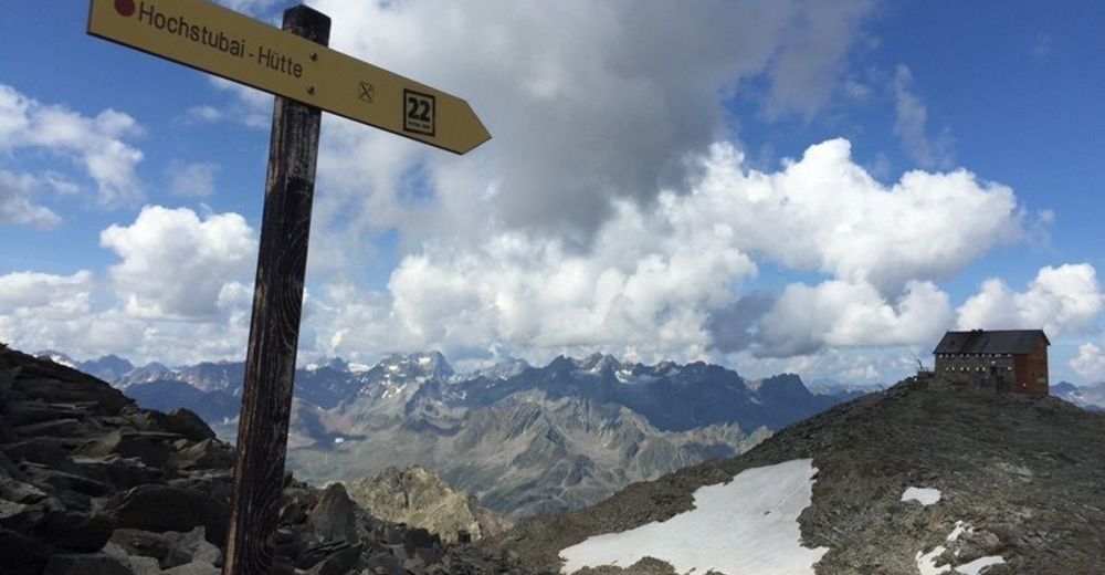
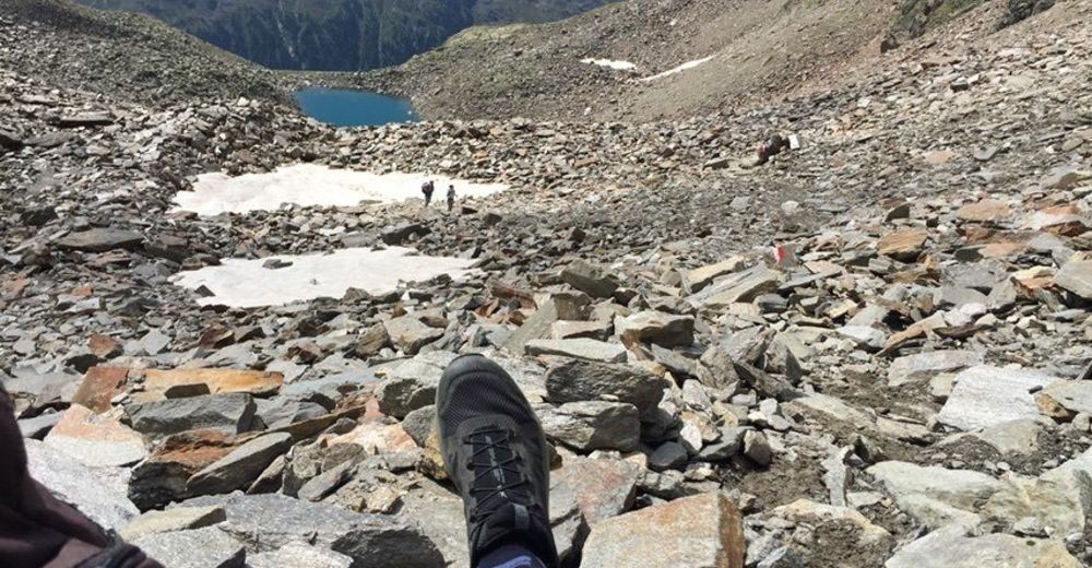
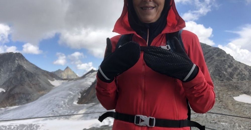
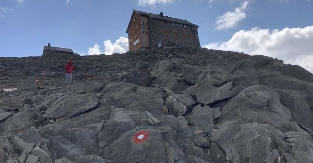
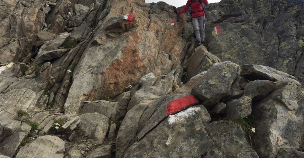
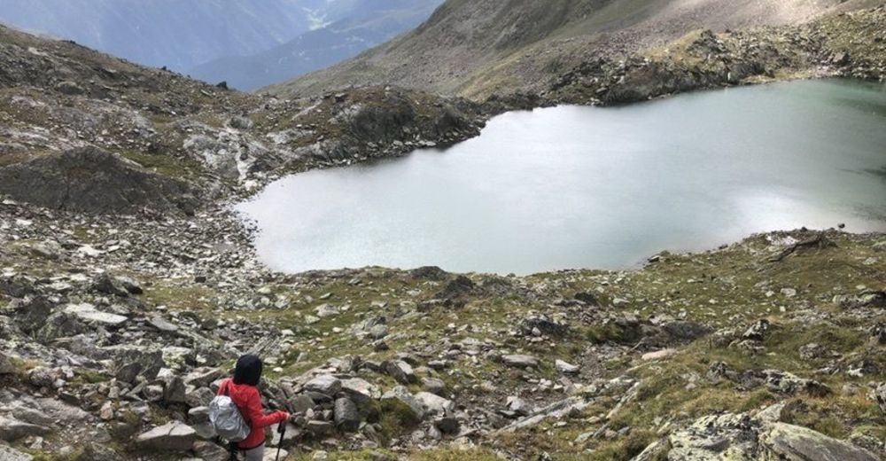
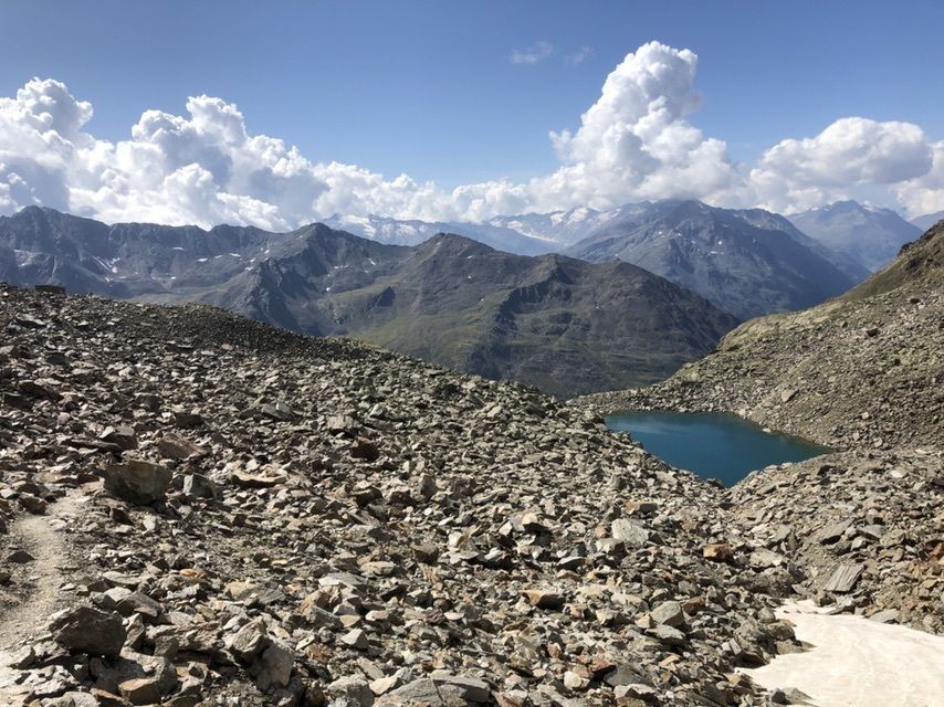
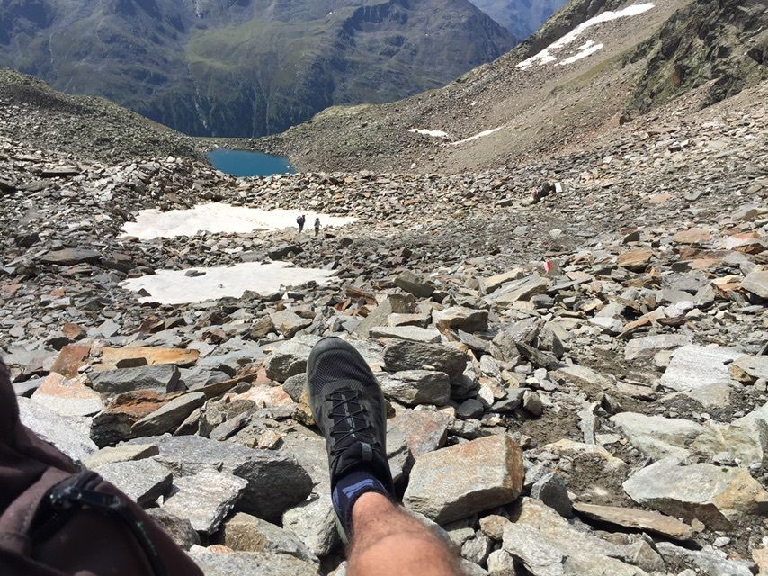
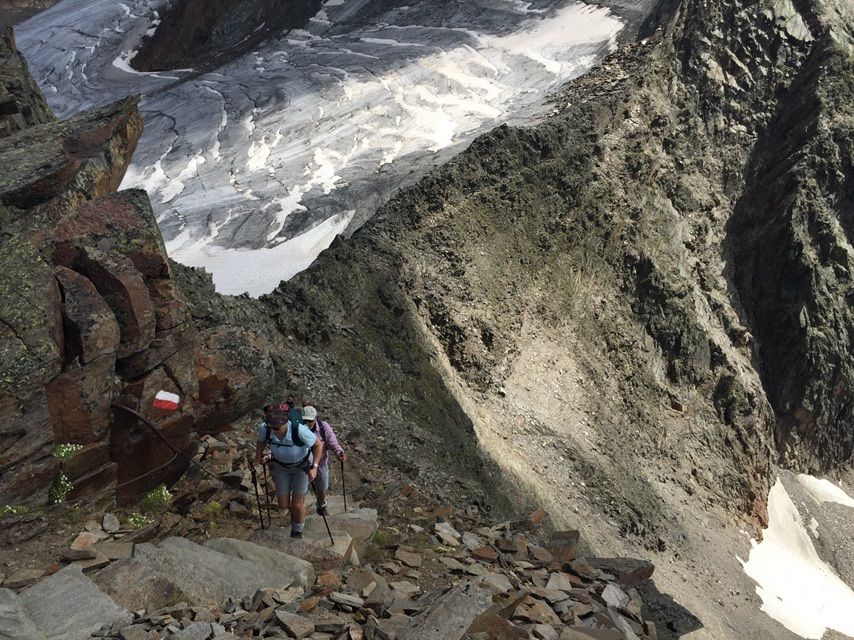
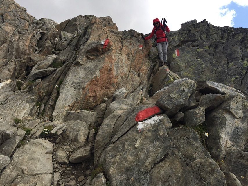
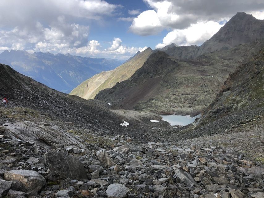
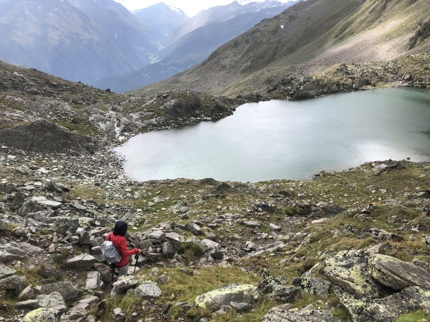
Anspruchsvolle Tour mit wunderschönen Aussichten und Ansichten
- Difficulty
-
difficult
- Rating
-
- Route
-
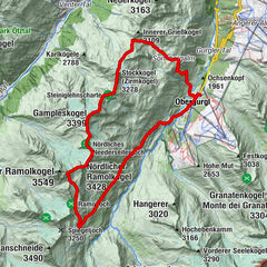
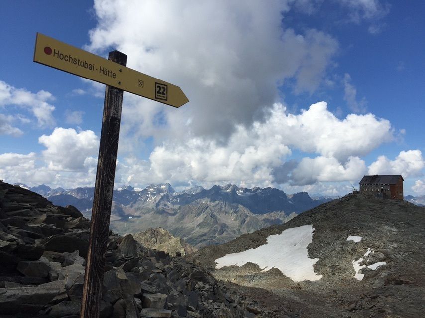
Windachalm0.2 kmWildkarspitze (3,173 m)5.8 kmHochstubaihütte5.9 kmKleblealm12.1 km
- Best season
-
JanFebMarAprMayJunJulAugSepOctNovDec
- Highest point
- 3,174 m


- Source
- H.L.


")