© Berg.Vital.Hotel. Alpenaussicht - Ronald Ribis

© Berg.Vital.Hotel. Alpenaussicht - Ronald Ribis

© Berg.Vital.Hotel. Alpenaussicht - Ronald Ribis

© Berg.Vital.Hotel. Alpenaussicht - Ronald Ribis
© Berg.Vital.Hotel. Alpenaussicht - Ronald Ribis
© Berg.Vital.Hotel. Alpenaussicht - Ronald Ribis
© Berg.Vital.Hotel. Alpenaussicht - Ronald Ribis
© Berg.Vital.Hotel. Alpenaussicht - Ronald Ribis
© Berg.Vital.Hotel. Alpenaussicht - Ronald Ribis

© Berg.Vital.Hotel. Alpenaussicht - Ronald Ribis

- Brief description
-
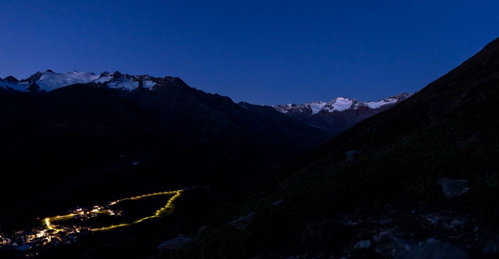
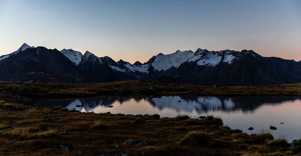
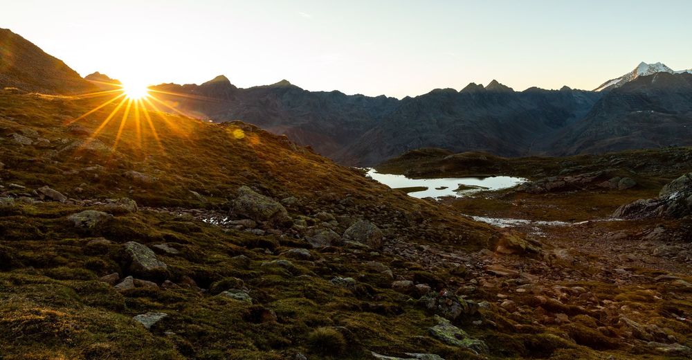
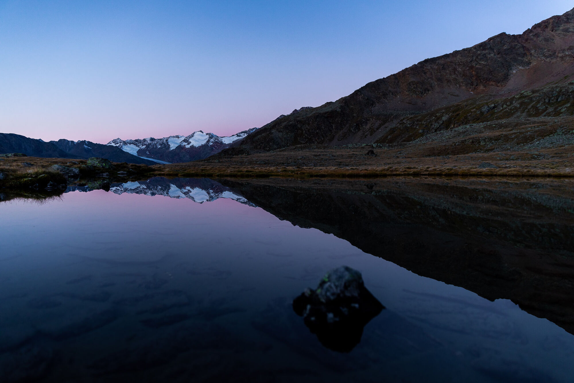
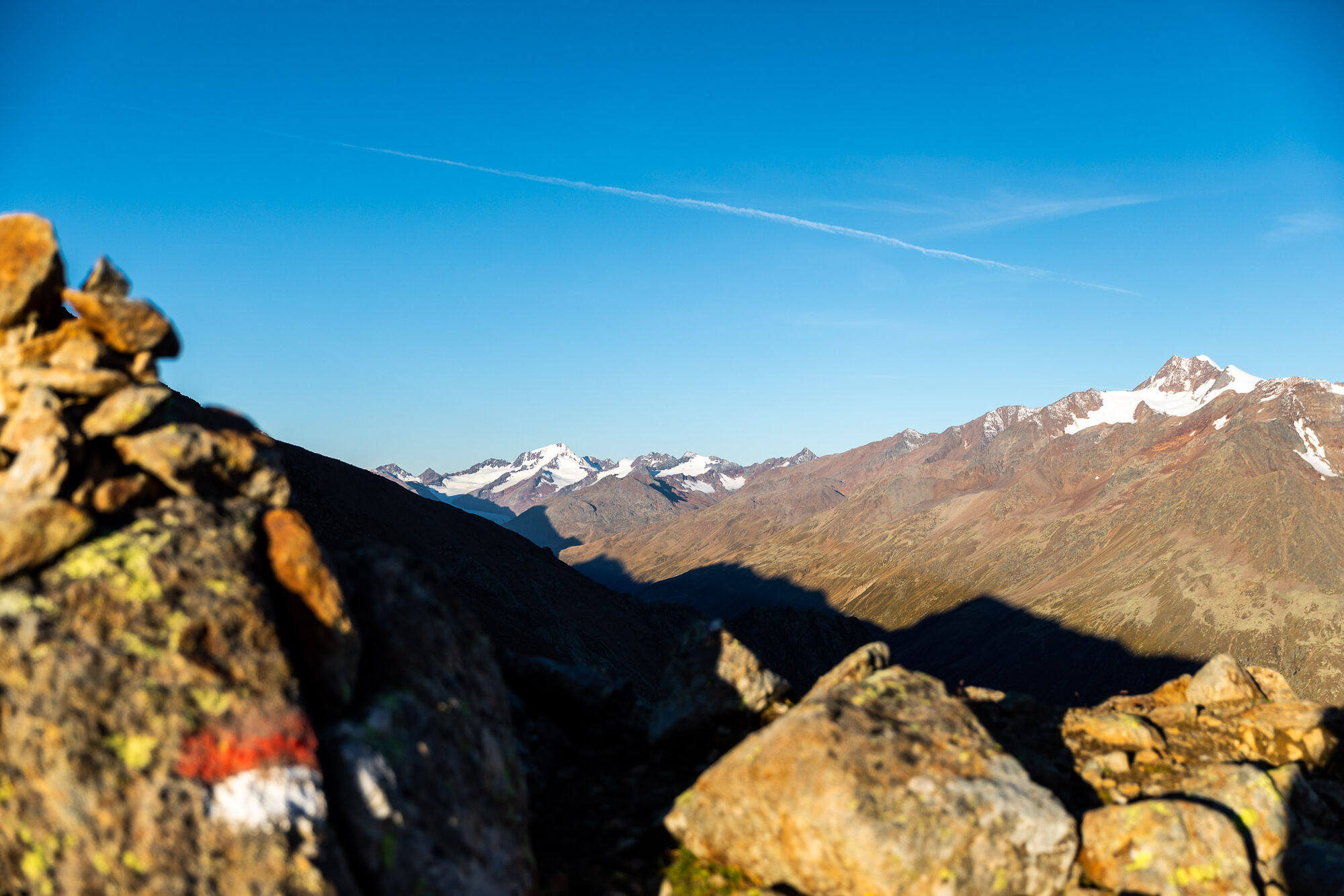
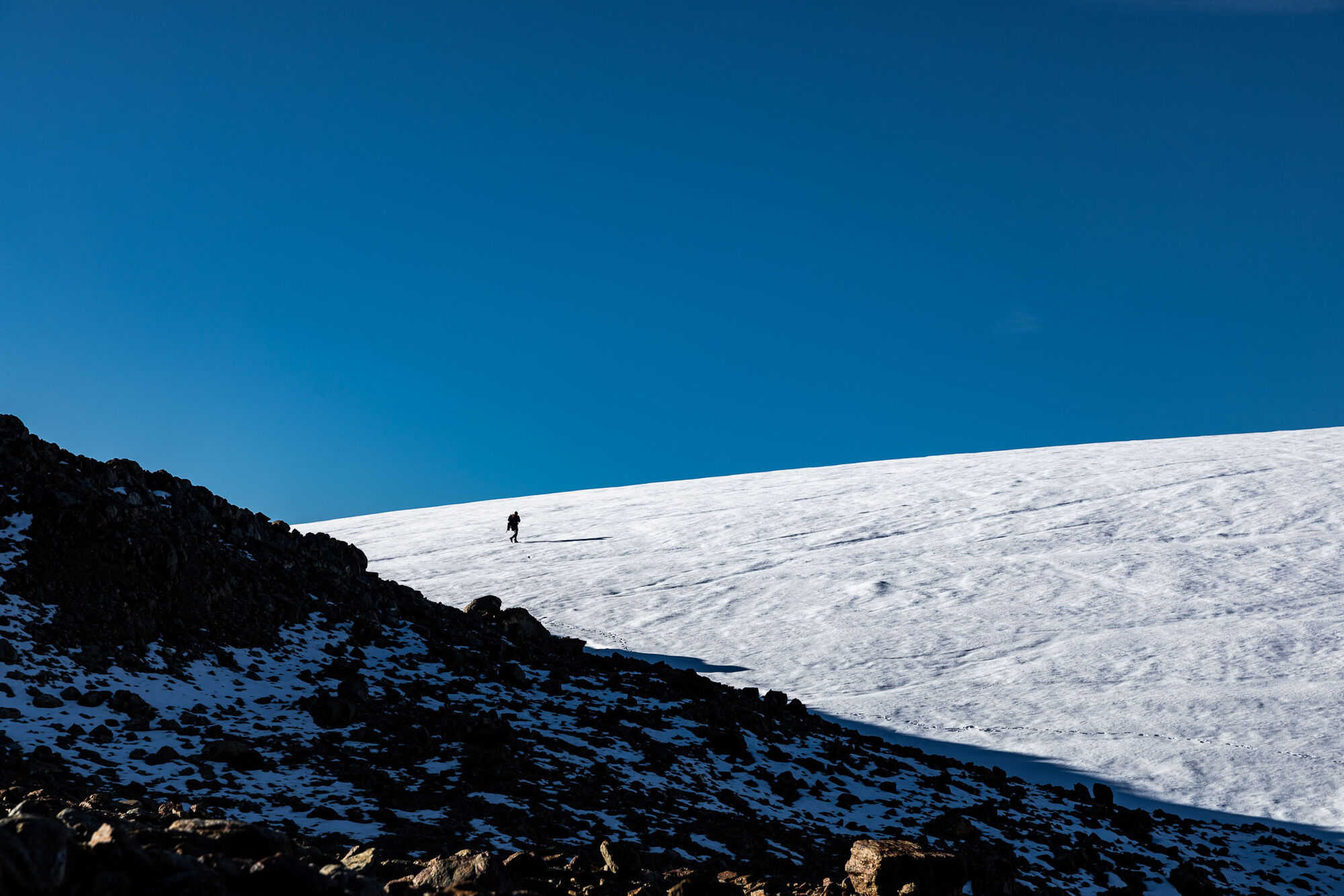
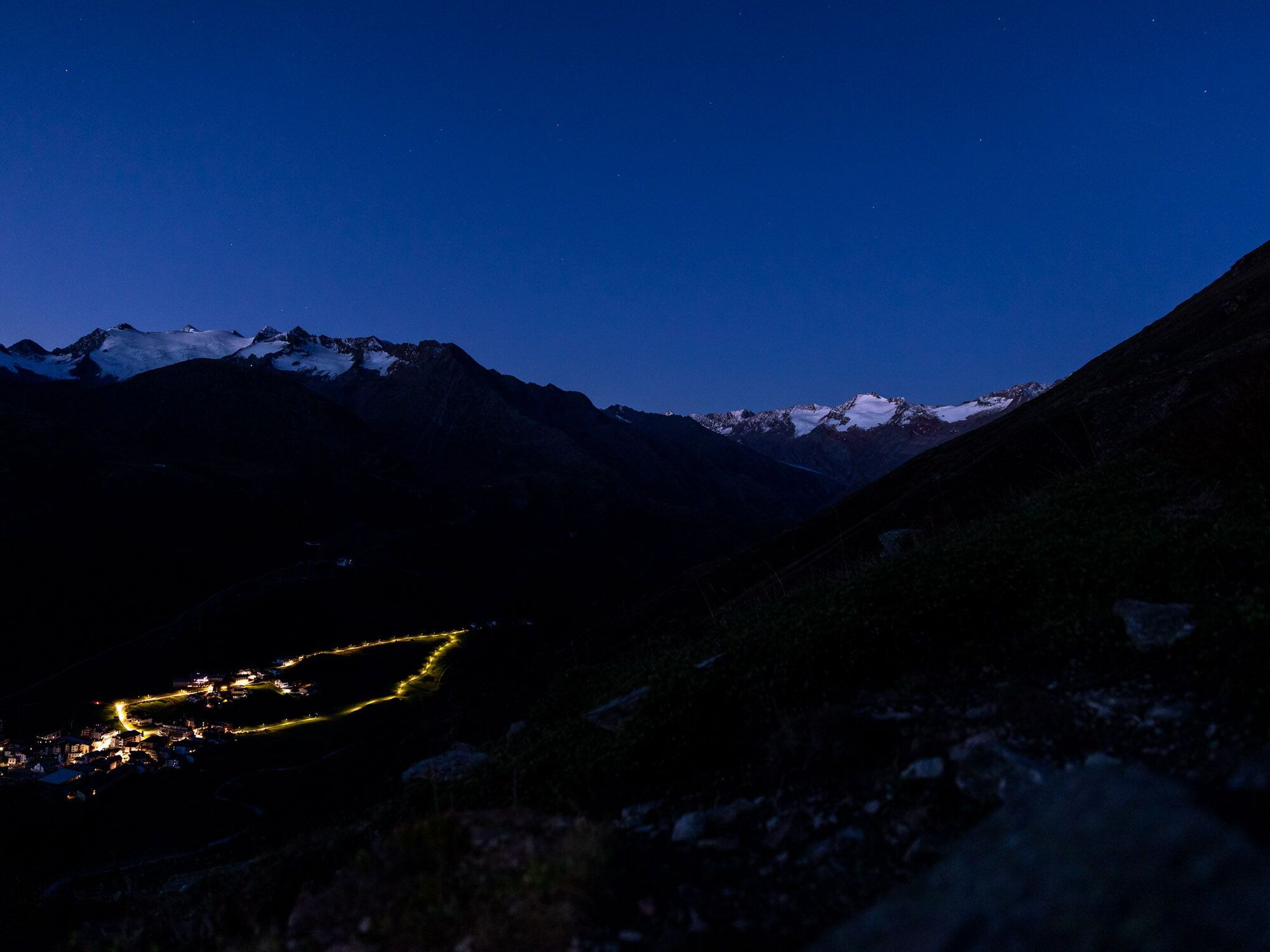
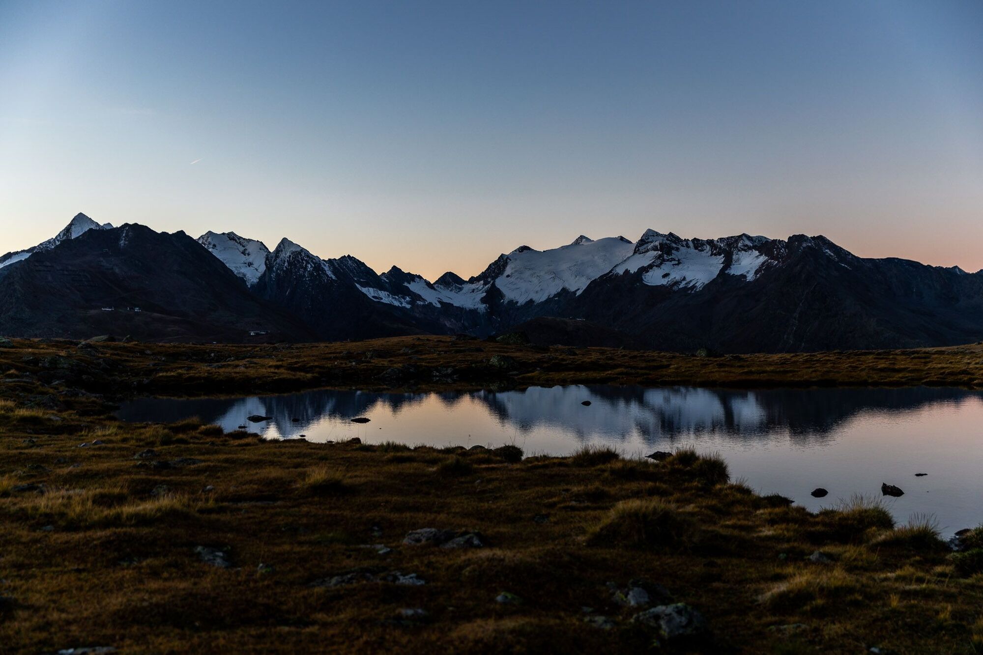
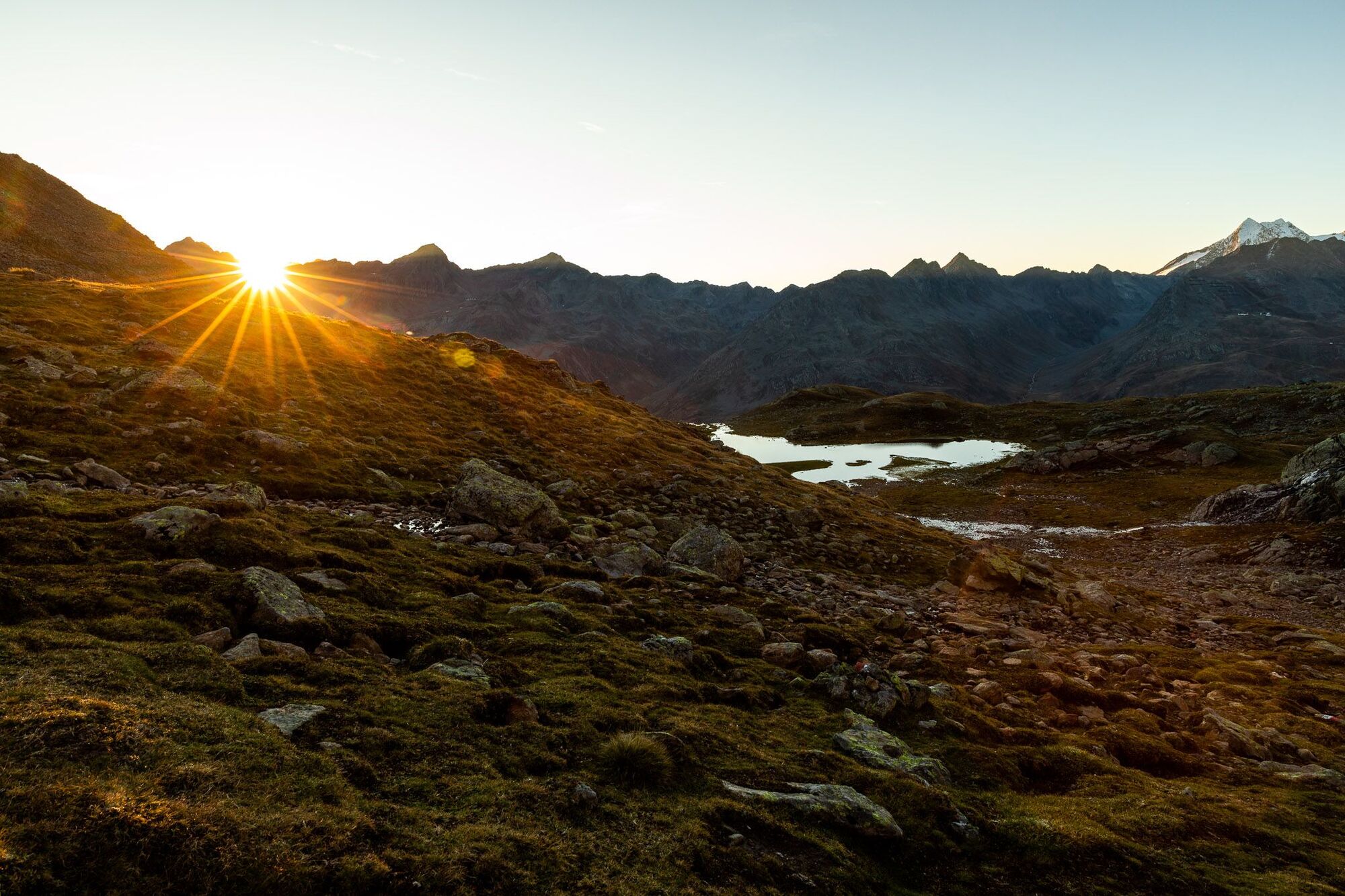
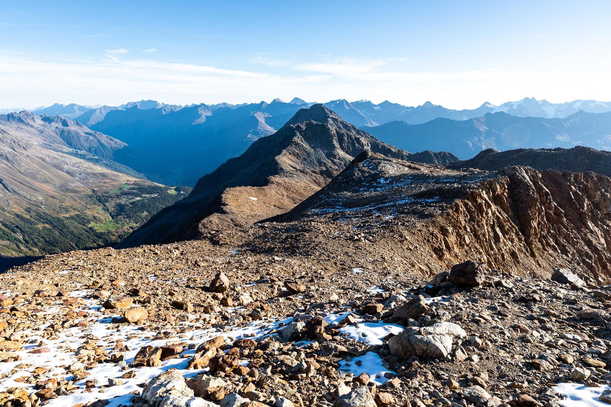
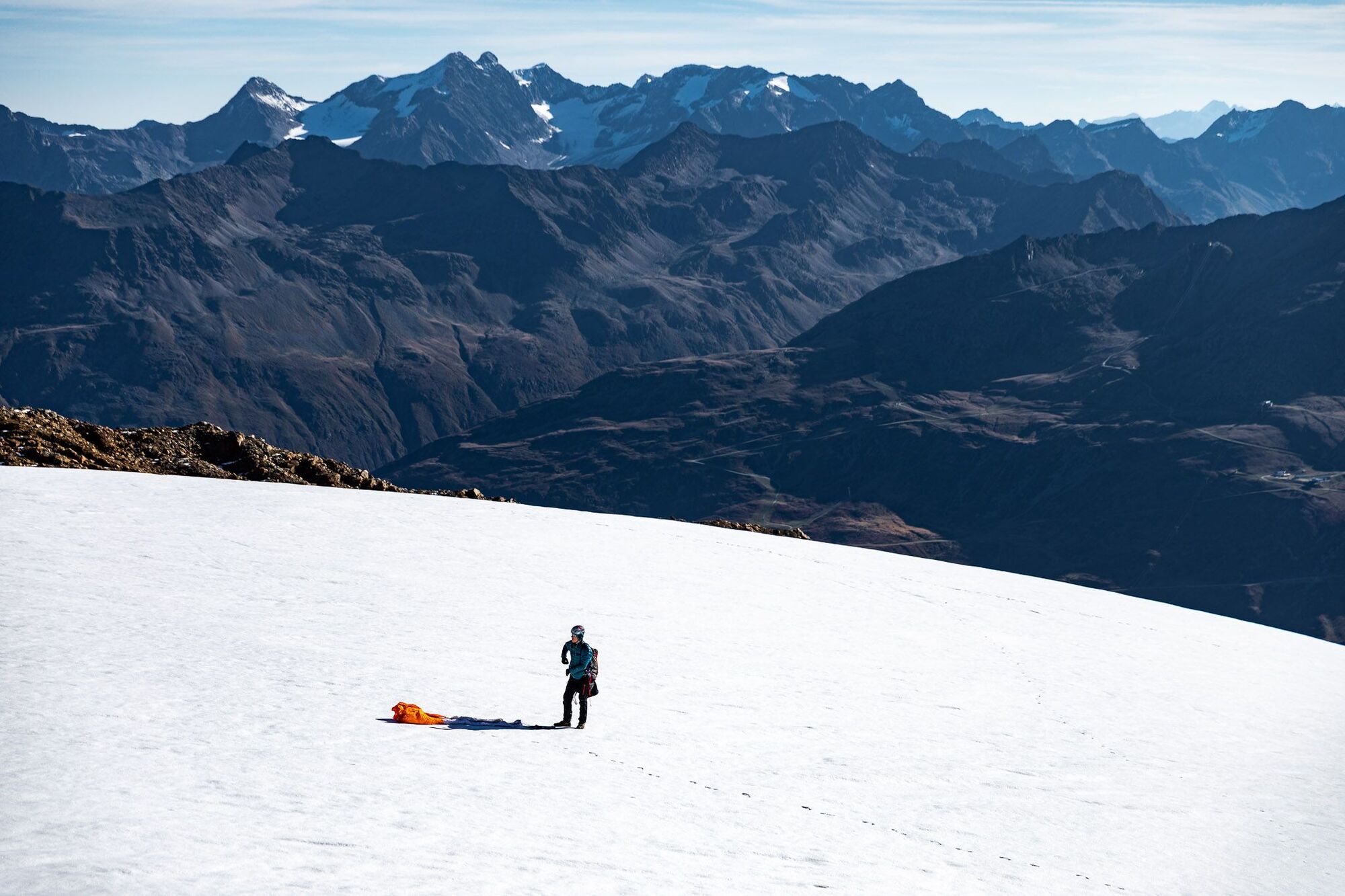
Eine abwechslungsreiche, leichte Hochtour, die sich ideal mit einem Gleitschirm-Flug vom Gletscher aus verbinden lässt. Herrlich zum Sonnenaufgang!
- Difficulty
-
medium
- Rating
-
- Route
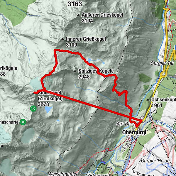
-
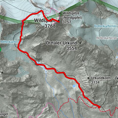
Obergurgl (1,907 m)0.3 kmObergurgl (1,907 m)11.1 km
- Best season
-
JanFebMarAprMayJunJulAugSepOctNovDec
- Highest point
- 3,260 m
- Endpoint
-
Hotel Alpenaussicht Obergurgl
- Height profile
-


-
-
AuthorThe tour Hike&Fly bzw. leichte Hochtour: Zirmkogel von Obergurgl aus is used by outdooractive.com provided.
GPS Downloads


General info
Insider tip
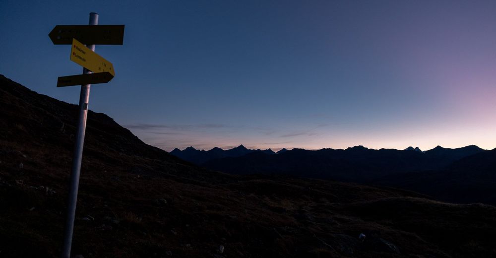
A lot of view
Other tours in the regions
-
Meraner Land
89
-
Ötztal
90
-
Obergurgl - Hochgurgl
47