- Brief description
-
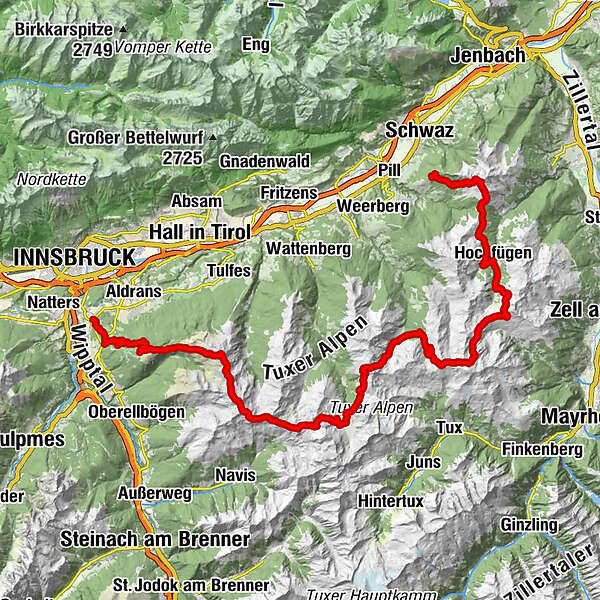
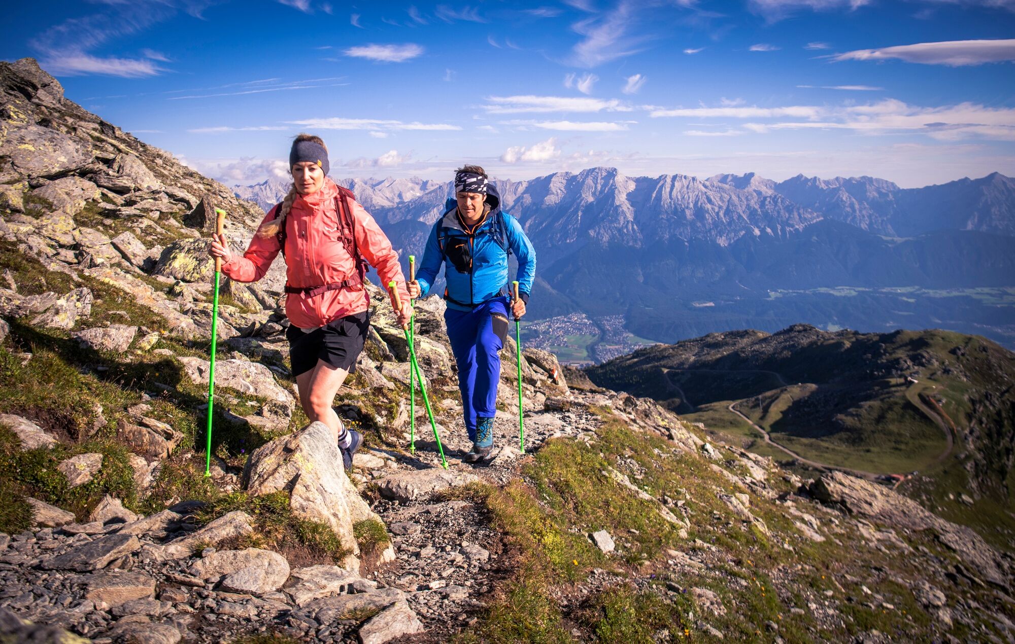
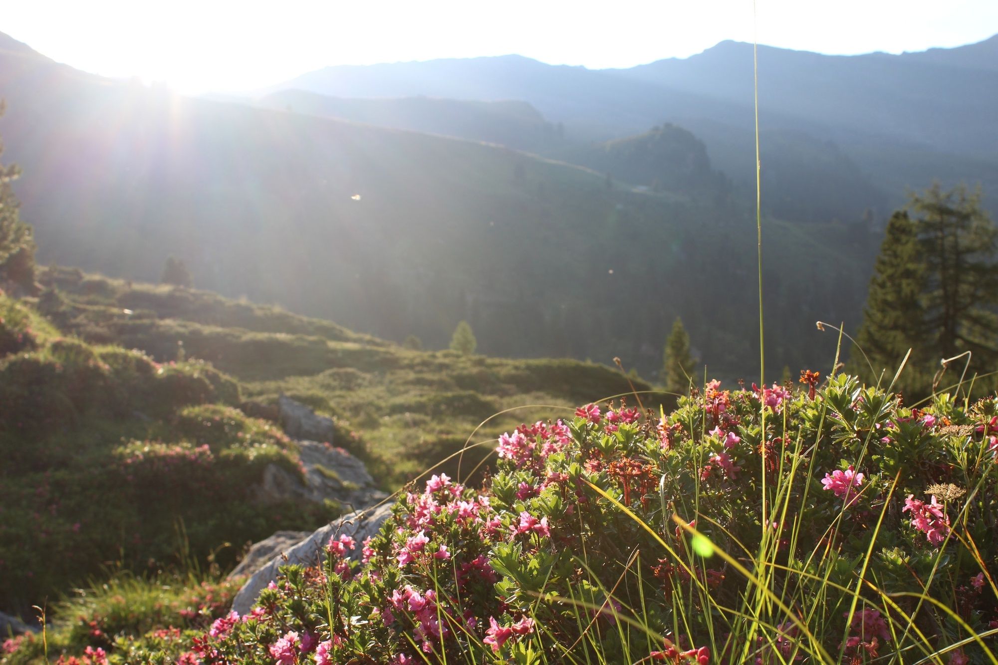
The “Inntaler Höhenweg 2000” is a 6-day high alpine trek that follows the 2,000 m contour line eastwards high above the Inntal Valley, from the Patscherkofel to the Kellerjoch and vice versa. The trail is located at altitudes between 1,800 and 2,800 m and leads through the largely unspoiled, secluded mountains of the Tux Alps
- Difficulty
-
medium
- Rating
-
- Route
-
Igls (870 m)Pfarrkirche IglsÄgidihof0.1 kmPizzeria Venezia0.1 kmTee-Hütt'n3.1 kmGasthaus Heiligwasser3.6 kmHeiligwasser3.6 kmIgler Alm5.6 kmLanser Alm (1,735 m)7.3 kmPatscherkofel Schutzhaus9.0 kmBoscheben11.1 kmGlungezerhütte16.1 kmGlungezer (2,677 m)16.5 kmGamslahnerspitze (2,681 m)17.8 kmKreuzspitze (2,746 m)19.5 kmRosenjoch (2,796 m)20.3 kmGrünbergspitze (2,790 m)21.1 kmGrafmartspitze (2,720 m)21.7 kmMölsjoch (2,334 m)24.2 kmLizumer Hütte (2,019 m)30.8 kmLizumer Kirchlein31.4 kmKrovenzalm39.9 kmWeidener Hütte42.2 kmNafingalm43.5 kmHalslspitze (2,574 m)47.1 kmNurpensjoch47.7 kmRastkogel (2,762 m)48.8 kmSidanjoch (2,120 m)53.6 kmRastkogelhütte54.5 kmViertelalm Hochleger56.7 kmViertelalm Niederleger57.8 kmPfundsalm Niederleger59.0 km8er Jet60.4 kmHochfügen (1,474 m)60.7 kmLamarkalm Niederleger61.7 kmKuhmesser (2,246 m)68.2 kmKellerjochhütte69.1 kmNaunz Alm Hochleger70.7 kmNaunz Alm Niederleger71.8 km
- Best season
-
JanFebMarAprMayJunJulAugSepOctNovDec
- Description
-
From Innsbruck/Igls it traverses the Patscherkofel on the Stone Pine Path (Zirbenweg ) to the Glungezer Hütte alpine hut (2,610 m), and along the “Glungezer & Geier” ridge route across the seven Tuxer summits to Lizumer Hütte alpine hut (2,019 m). From here it follows central alpine route 02A over the Grafennsjoch to Weidener Hütte alpine hut, from there over the Nurpensjoch to Rastkogel Hütte alpine hut (2,117 m), to Hochfügen and over the Loassattel to Kellerjoch Hütte alpine hut, before descending to Schwaz.
- Directions
-
Through the Tux Alps from Patscherkofel to the Kellerjoch
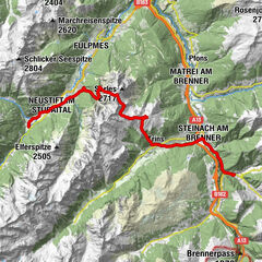
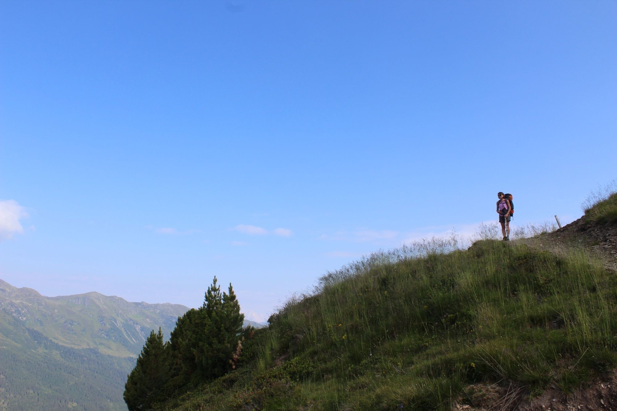
Stage 1 Innsbruck/Igls – Patscherkofel – Stone Pine Path (Zirbenweg) – Glungezer hut 6.5 km, 3 hours (easy); +550 m (+1,100 m from Igls)
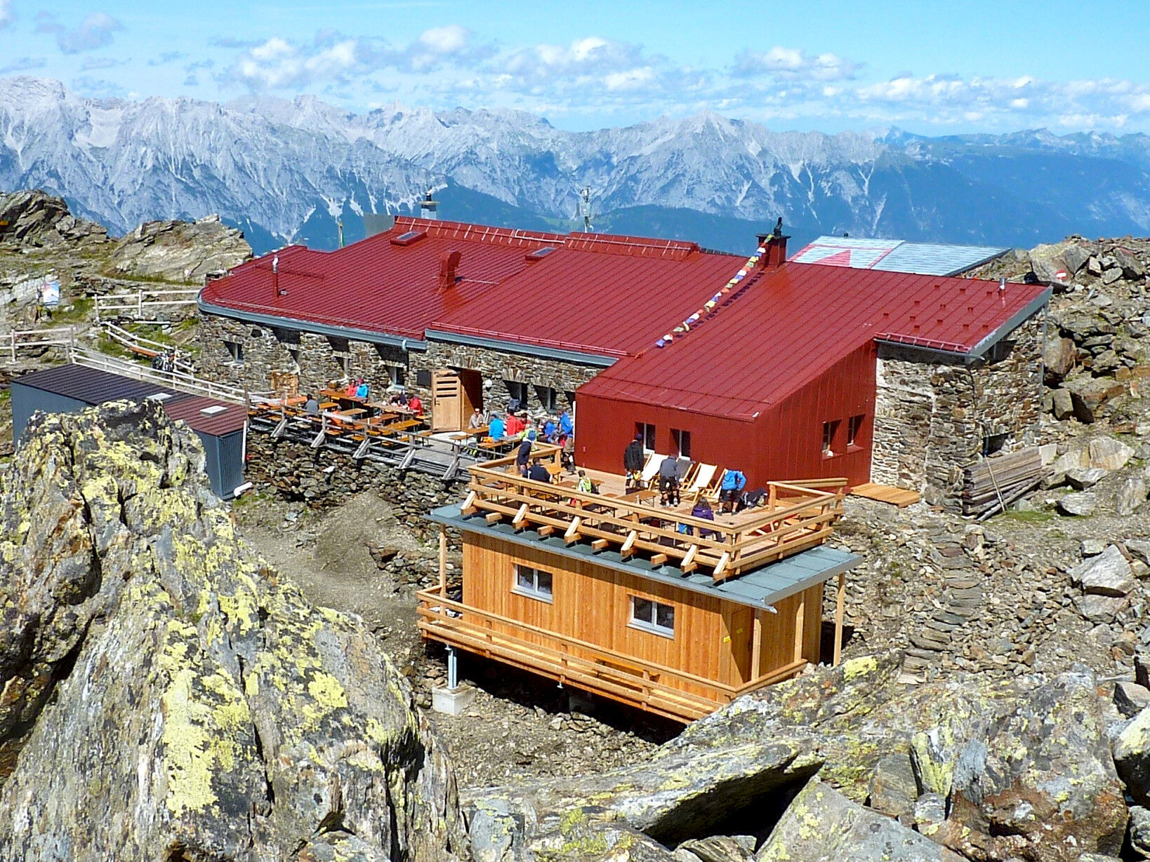
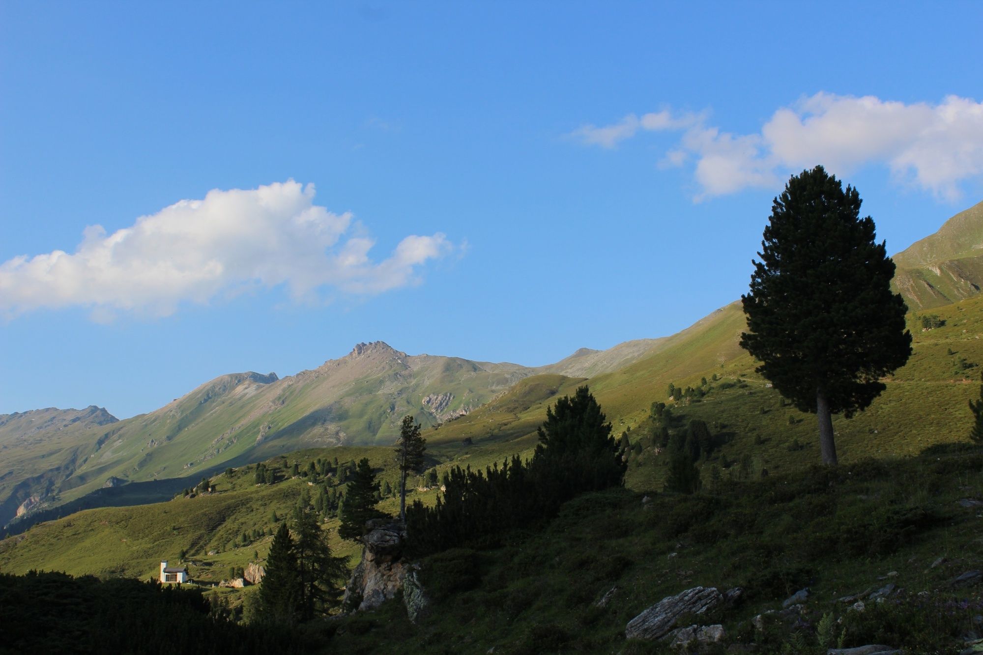
Access via the Patscherkofel mountain railway or climb via “Heiligwasser”. Starting from Patscherkofel Haus alpine hut (1,970 m) or from the summit of the Patscherkofel (2,246 m), follow the Stone Pine Path (Zirbenweg) before bearing right onto the path up towards Glungezer Hütte alpine hut (2,610 m), the excellent trekking and ski hut located at the gateway to the Tux Alps. From here, the Sonnenspitze (10 mins) and the Glungezer (15 mins) are within easy reach. The summit offers stunning panoramic views of 500 peaks, cols and ridges.
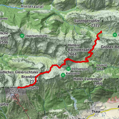
Stage 2 Glungezer hut – Seven Tuxer summits – Lizumer Hütte alpine hut 14 km, 7-9 hours, red, (1 section black; red option via Tulfeinjöchl - Navis Jöchl); +750m in altitude/-1350 in altitude
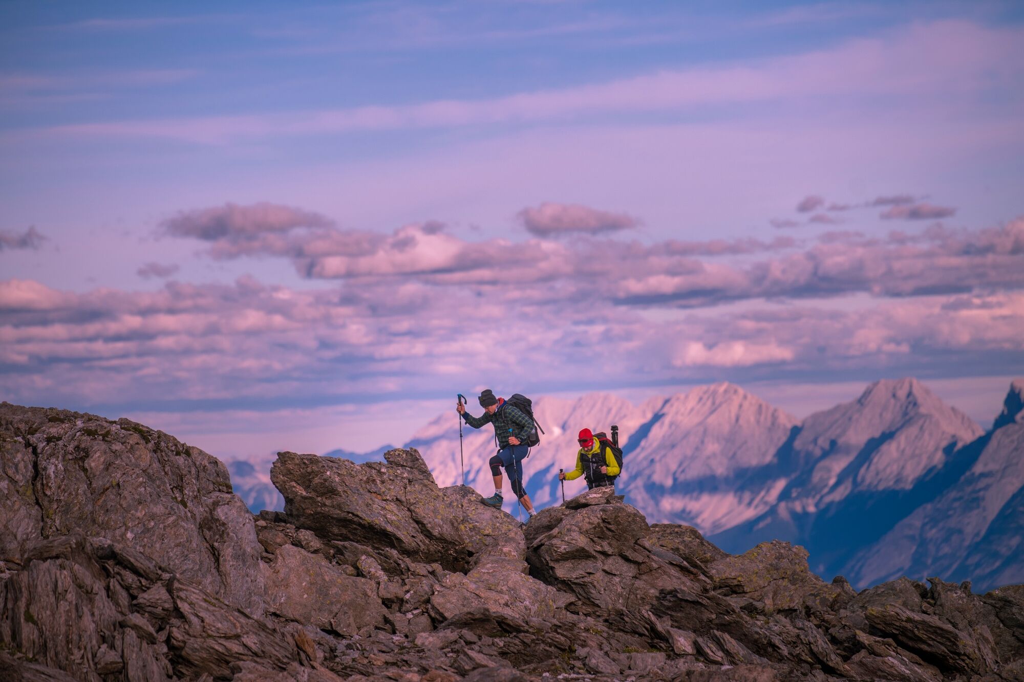
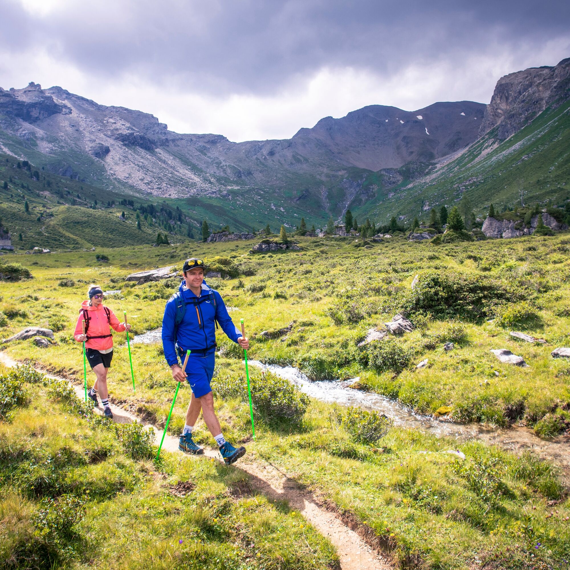
The Tyrolean "Eagle Walk" refers to this stage as a seemingly endless series of peaks, which takes hikers from the Glungezer along a mostly flat but marked to the south across the seven Tuxer summits, and over the highest point of the route at the Wattentaler Lizum (2,796 m). A few passages require some light rock climbing.
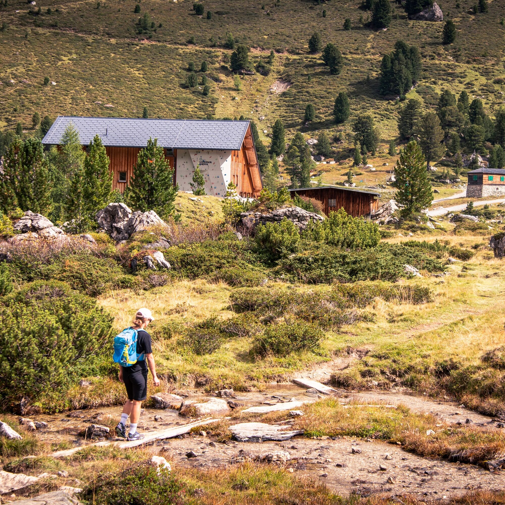
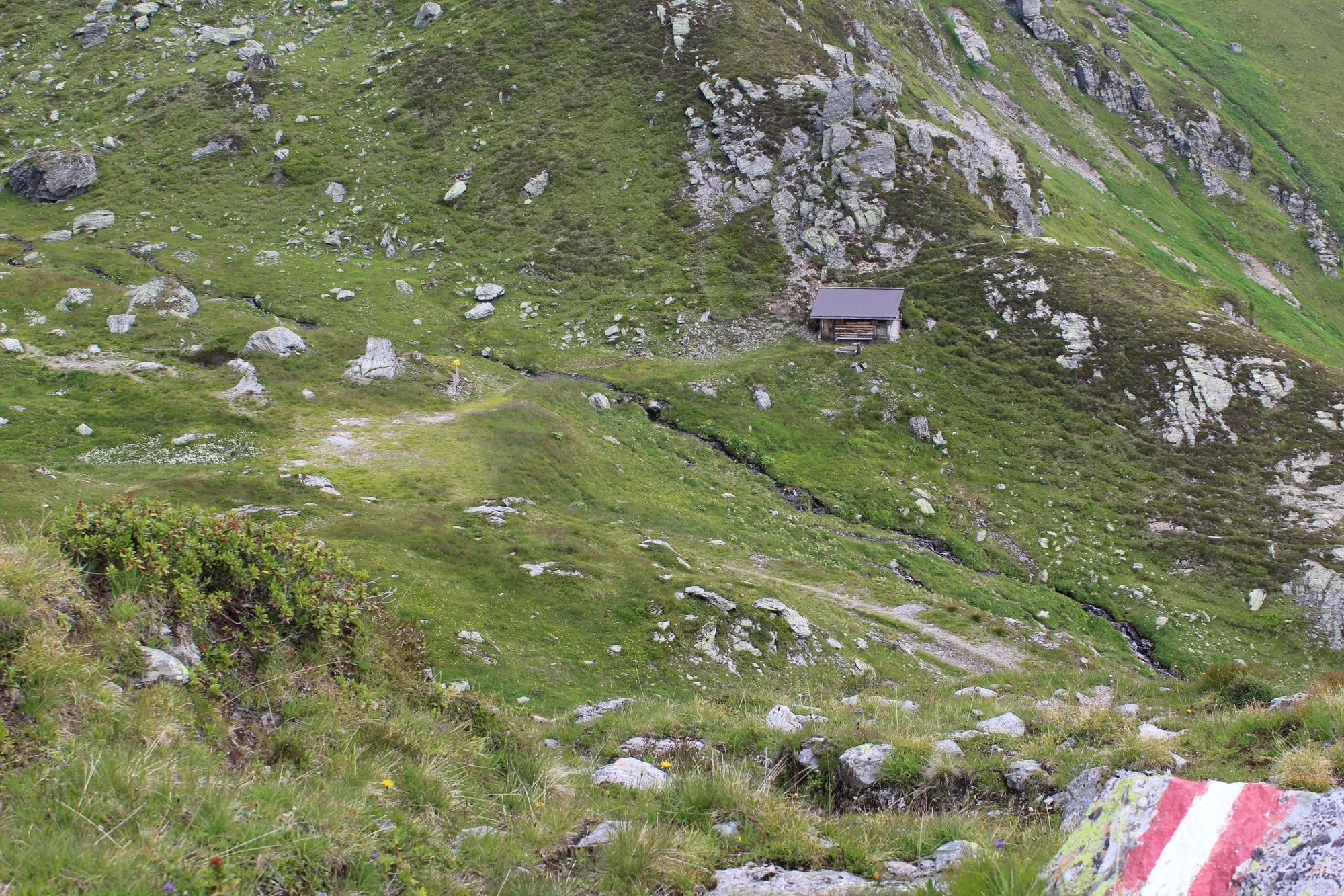
Route: Glungezer – Gamslahner – Kreuzjöchl – Kreuzspitze – Rosenjoch – Grünbergspitze – Grafmartspitze – Navis Jöchl – Mölsjoch - Schoberspitze – Mölser Sonnenspitze - Klammjoch – Lizumer Hütte alpine hut (2,019 m), the excellent trekking and ski touring hut in the heart of the Tux Alps, and in the middle of Lizum army training centre.
Stage 3 Lizumer Hütte alpine hut – Grafennsjoch – Weidener Hütte alpine hut 11 km, 5 hours, red; +430 m/-650 m
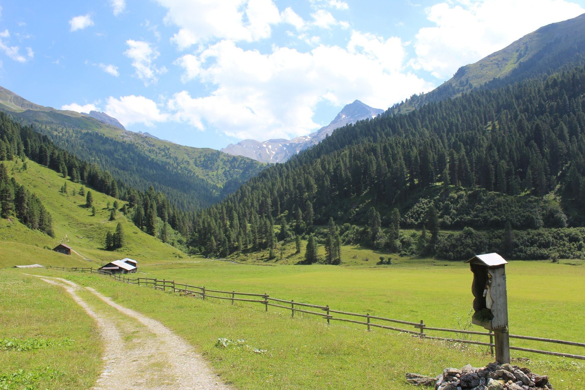
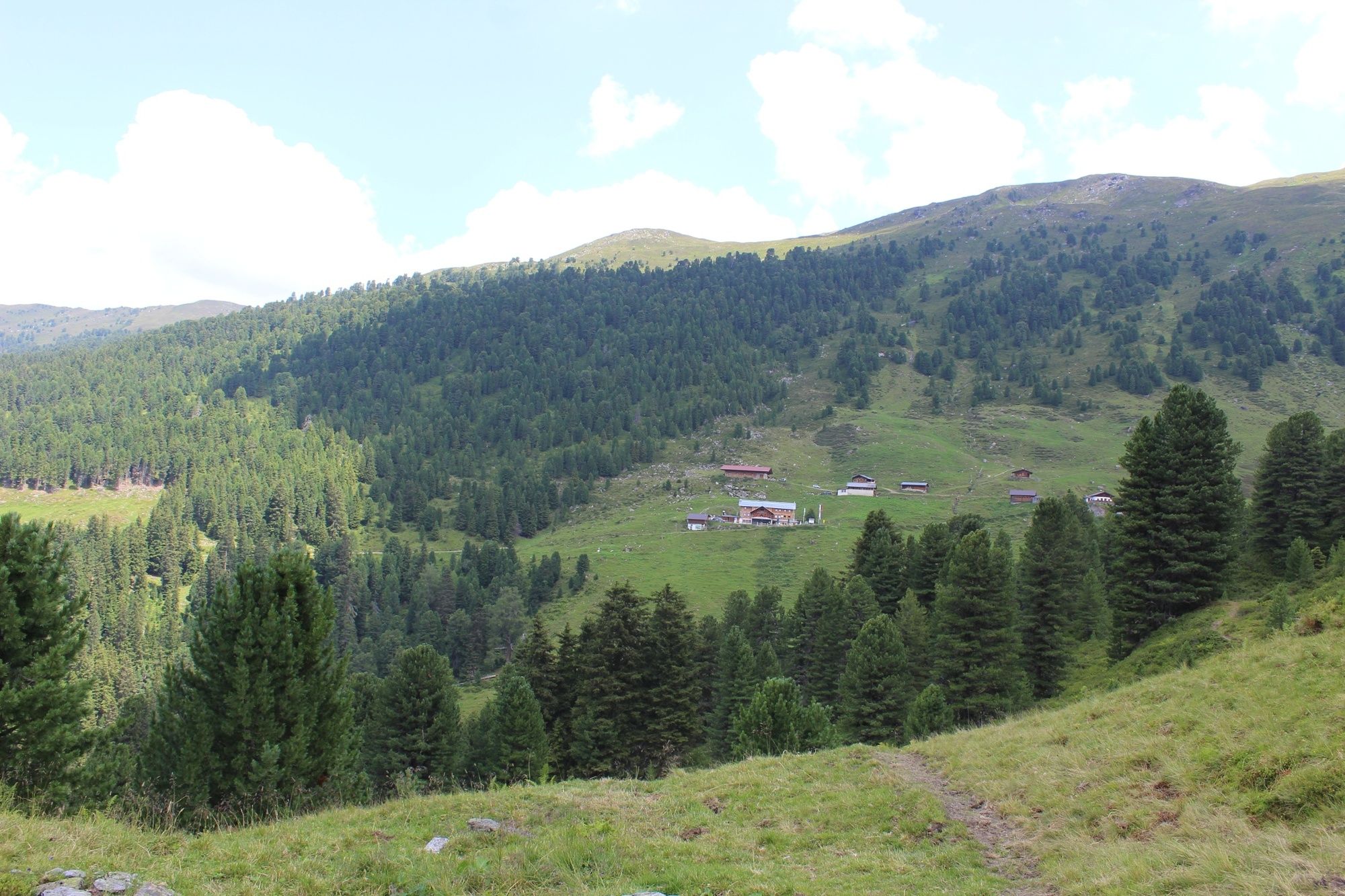
From Lizumer Hütte alpine hut, follow Central Alpine Route 02A. The route passes the Soldatenkirche (Soldiers’ Church), cutting through ancient pine forests below Torspitze, Eiskarspitze and Hippold, before leading up to Grafennsjoch. You soon start the descent following Weerbach stream to the Grafennsalm and Weidener Hütte alpine hut (1,799 m).
Stage 4 Weidener Hütte alpine hut – Rastkogel – Rastkogel Hütte alpine hut 11 km, 6 hours, red; +960 m/-645 m
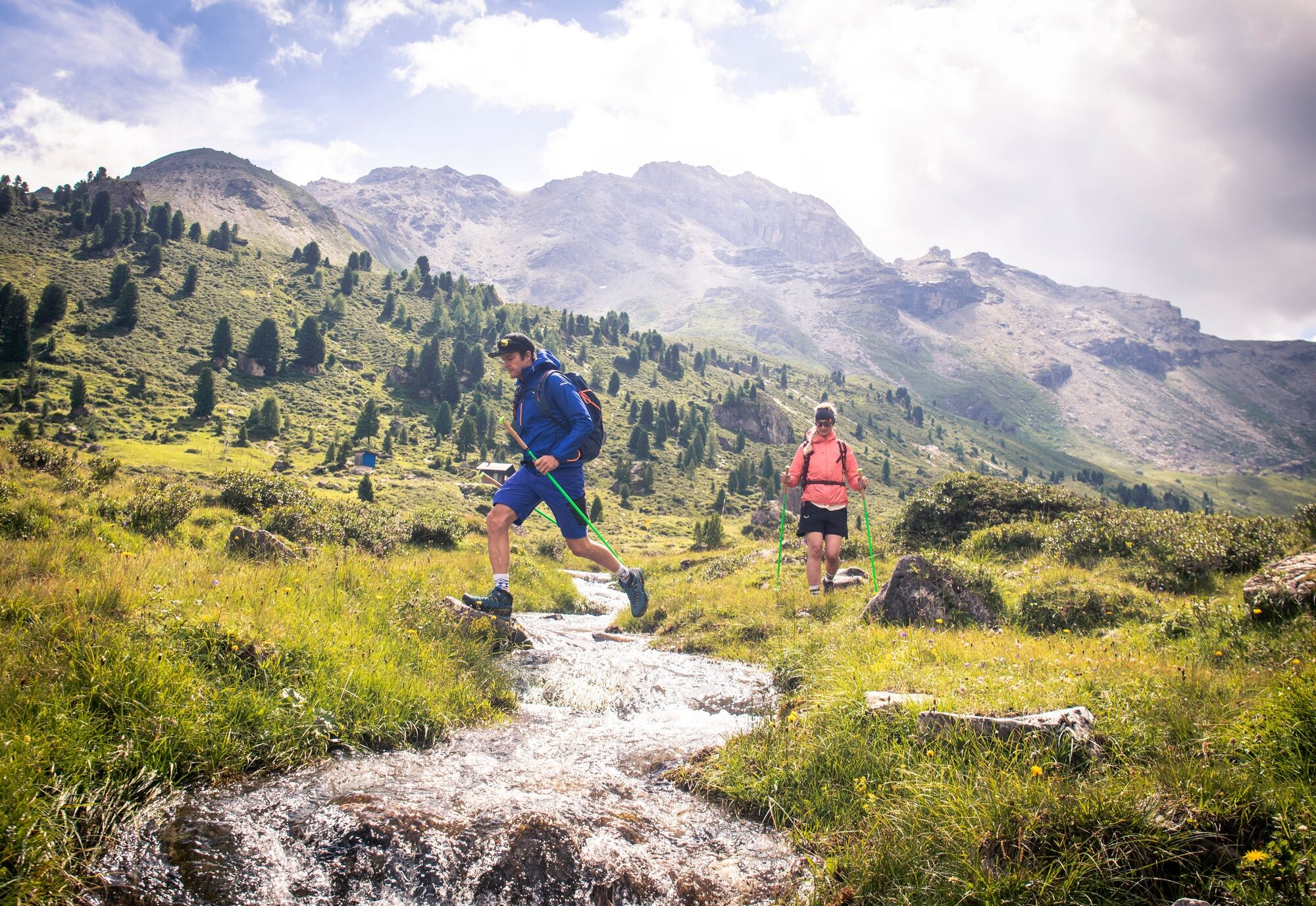
From the Weidener Hütte alpine continue on long-distance trail 302A, heading into the valley alongside the Nafingbach stream, over the Nafingalm below the Halslspitze to Nurpensjoch. From here you take track 318 to the Rastkogel Hütte alpine hut (2,762 m). The descent follows a green ridge, past two small lakes to Sidanjoch (2,127 m) and to family-friendly Rastkogel Hütte alpine hut (2,124 m).
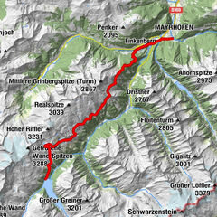
Stage 5a Rastkogel Hütte alpine hut – Hochfügen7 km, 2.15 hours, red; -650 m
From the hut you return to Sidanjoch (2,127 m), with beautiful views of the Zillertal Alps. The gentle descent continues along track 316 to Pfundsalm-Mittelleger (1,832 m), along Finsingbach stream heading out of the valley (alternative route via Lamarkalm Niederleger, 1,613 m), to Hochfügen (1,470 m). Possible overnight stay.
Stage 5b Hochfügen – Kellerjoch Hütte alpine hut7 km, 3.30 hours, red; +770 m
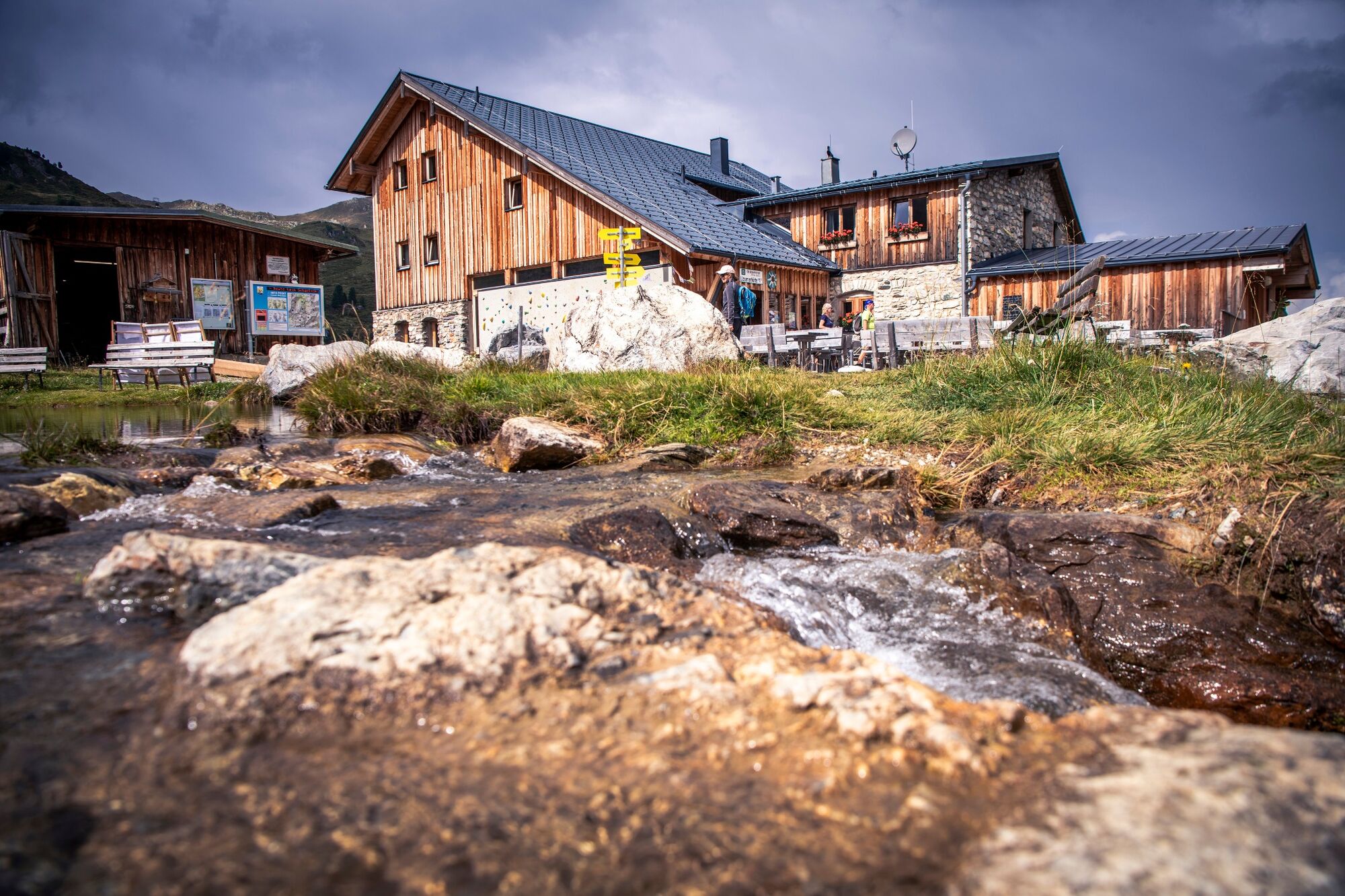
The onward journey along track 316 from Hochfügen is a gentle climb via Maschentalalm alpine hut (1,717 m) to Loassattel (1,675 m). From here you can either take the 311 high trail (Hochebenweg) via Naunzalm directly to the alpine hut or continue along trail 316 on the “Kuhmesser” with spectacular views over Innsbruck and the Zillertal Valley. The route then takes you below the summit to Kellerjoch Hütte alpine hut (2,237 m), an award-winning hiking hut in the Karwendel Silver Region located high above the Inntal and Zillertal valleys.
Stage 6 Kellerjoch Hütte alpine hut – Schwaz 6 km (to Grafenast), 2 hours, gentle; -900 m (-1,700 m to Schwaz)
It is worth taking a short detour to the Kellerjoch (2,344 m) with its pristine chapel and stunning views of the Karwendel mountains. Descend from the hut on the Jägersteig trail via the Naunzalm Niederleger and Hochleger, then continue on the Jägersteig trail to reach route 312, the “Alter Kellerjochweg”, to Hochpillberg, mountain station of the Kellerjoch lifts at Grafenast (1,347 m) and to Schwaz. East – west route.
The route is well marked and signposted. It follows existing trails and climbs. You can also complete the route in the opposite direction, starting from Kellerjoch and heading towards Patscherkofel. You can start or end the tour at any alpine hut. The route is well marked and signposted. It follows existing trails and climbs. You can find a route description at www.tuxeralpen.at.
- Highest point
- 2,790 m
- Height profile
-


-

-
AuthorThe tour The Inntaler Höhenweg trail is used by outdooractive.com provided.


General info
-
Tux - Finkenberg
990
-
Kolsassberg
306