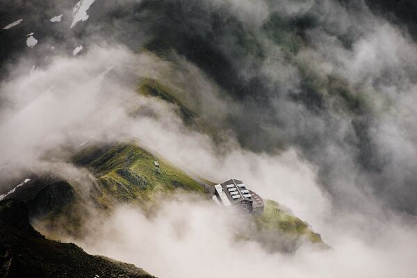
- Brief description
-
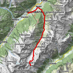
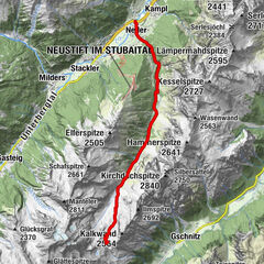
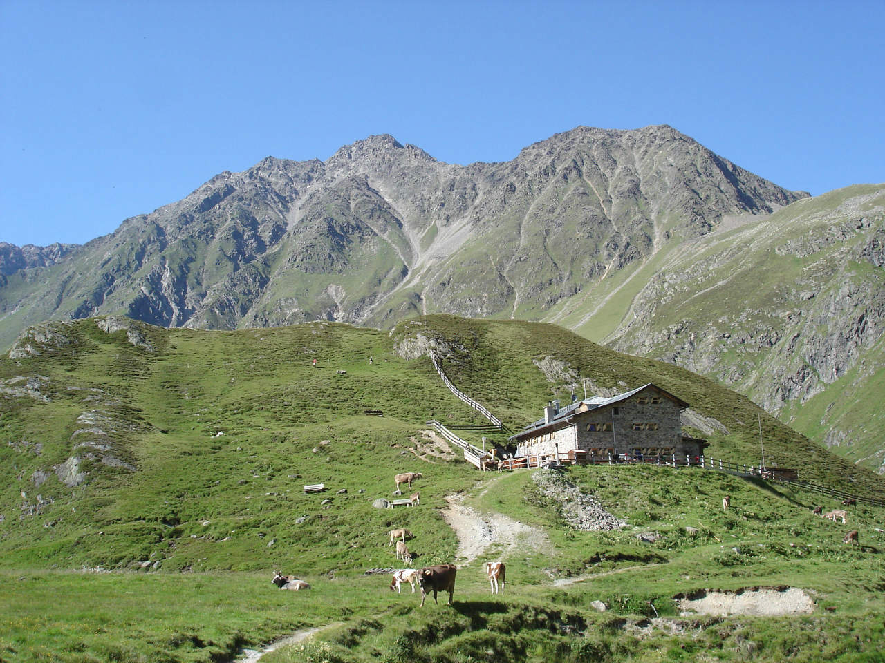
Winnebachseehütte (2.361 m) –> Bachfallenferner -> Amberger Hütte (2.136 m)
- Difficulty
-
difficult
- Rating
-
- Starting point
-
Winnebachseehütte
- Route
-
Winnebachseehütte0.0 kmErnst-Riml-Spitz (2,507 m)0.8 kmAmberger Hütte (2,135 m)9.1 km
- Best season
-
JanFebMarAprMayJunJulAugSepOctNovDec
- Description
-
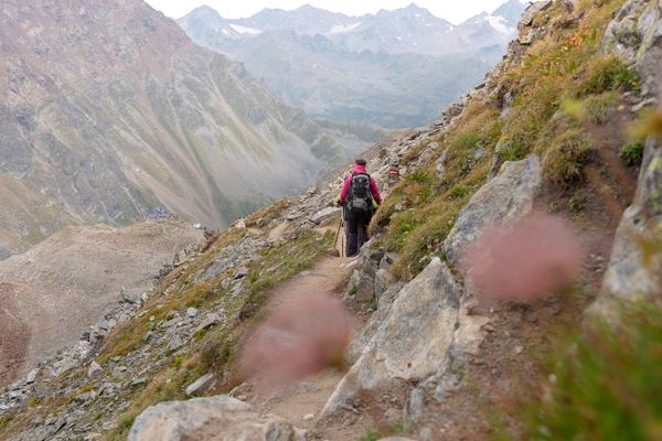
Route: climbing, footpath, route Requirements: stability, dizziness, condition, high alpine experience; Mountain path black, intermittent alpine route Difficulties: Passage at the Bachfallferner (in each case columns); Mountain guide recommended Equipment: normal hiking equipment, (depending on the circumstances) pimples, crampons; in any case rope; Huts: Winnebachsee Hut, Vordere Sulztalalm Hut (no overnight stay), Amberger Hut Acess / exit point: from Gries im Sulztal (municipality of Längenfeld) to the Winnebachsee hut (about 2.25 h ascent, about 1.75 h descent);
from Gries in the Sulztal (municipality of Längenfeld) to the Amberger Hütte (about 2 h ascent, about 1.5 h descent) - Directions
-
ACROSS GLACIERS, RIDGES AND STEEP SLOPES
From Winnebachseehütte the climbing trail leads in switch backs up to thepeak of Ernst-Riml-Spitze. Right before you reach the glacier fields of Bachfallenferner you climb the steeply winding route along the glacier moraine. The view of Bachfallenferner glacier and the crossing itself are really amazing. The almost level path becomes a bit steeper up to the ridge of Gaislehnscharte, the highest point. A short climb awaits you but you will be rewarded with aweinspiring vistas. Steep descent through Schrankar down to Hinteres Sulztal valley and Amberger Hütte. - Highest point
- 3,032 m
- Endpoint
-
Amberger Hütte
- Height profile
-

- Equipment
-
It is recommended to wear hiking equipment such as breathable and weather-adapted outdoor clothing, ankle-high mountain boots, wind, rain and sun protection, cap and possibly gloves. It is also important to have enough food, as well as a first-aid package, a cell phone and a hiking map.
- Tips
-
TIP OF THE DAY
Winnebachseehütte – Gries (1.569 Meter) – Winnebachseehütte
We recommend a walk through the hiking village of Gries towards the entrance of the village to visit the Maria Hilf pilgrimage church. On the way back you have the opportunity to take a look at the partial bronzerelief of the Nature Park at the end of Gries with interesting details about Gries.
Level, walking time: average hike, about. 2,5h
Altitude meters: 800 hm descent and ascent - Additional information
- Directions
- Public transportation
- Parking
-
The following parking facilities are available in Gries:
- Gries at the end of the village - free of charge


- Author
-
The tour Ötztal Trek Stage 4 is used by outdooractive.com provided.


General info
-
Ötztal
1107
-
Stubaier Gletscher
287