© Unbekannt

© Archiv TVV, S. Theilig

© Archiv TVV, M. Daßler

© Archiv TVV, M. Daßler
© Archiv Gemeinde Langenwolschendorf

© Archiv TVV, M. Daßler

- Brief description
-
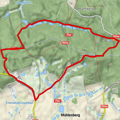
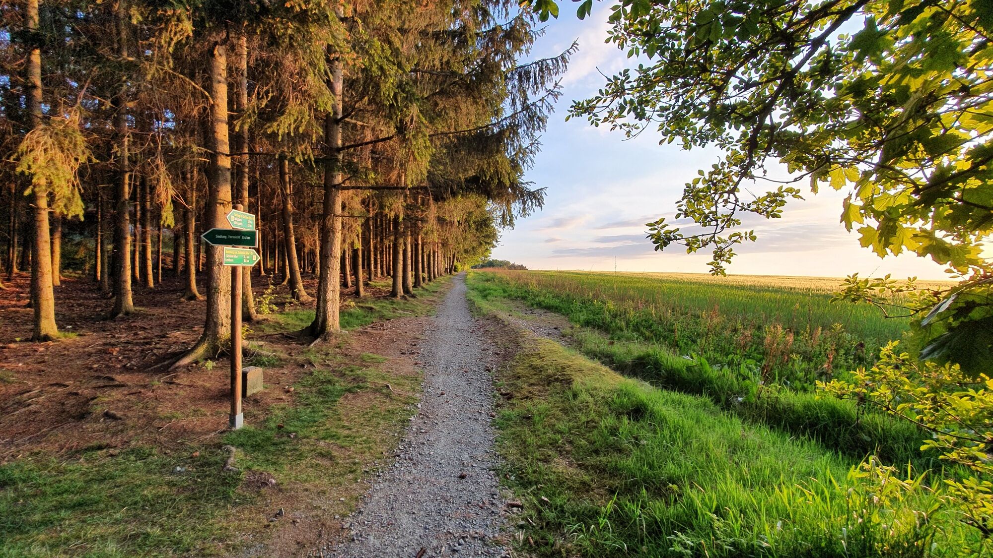
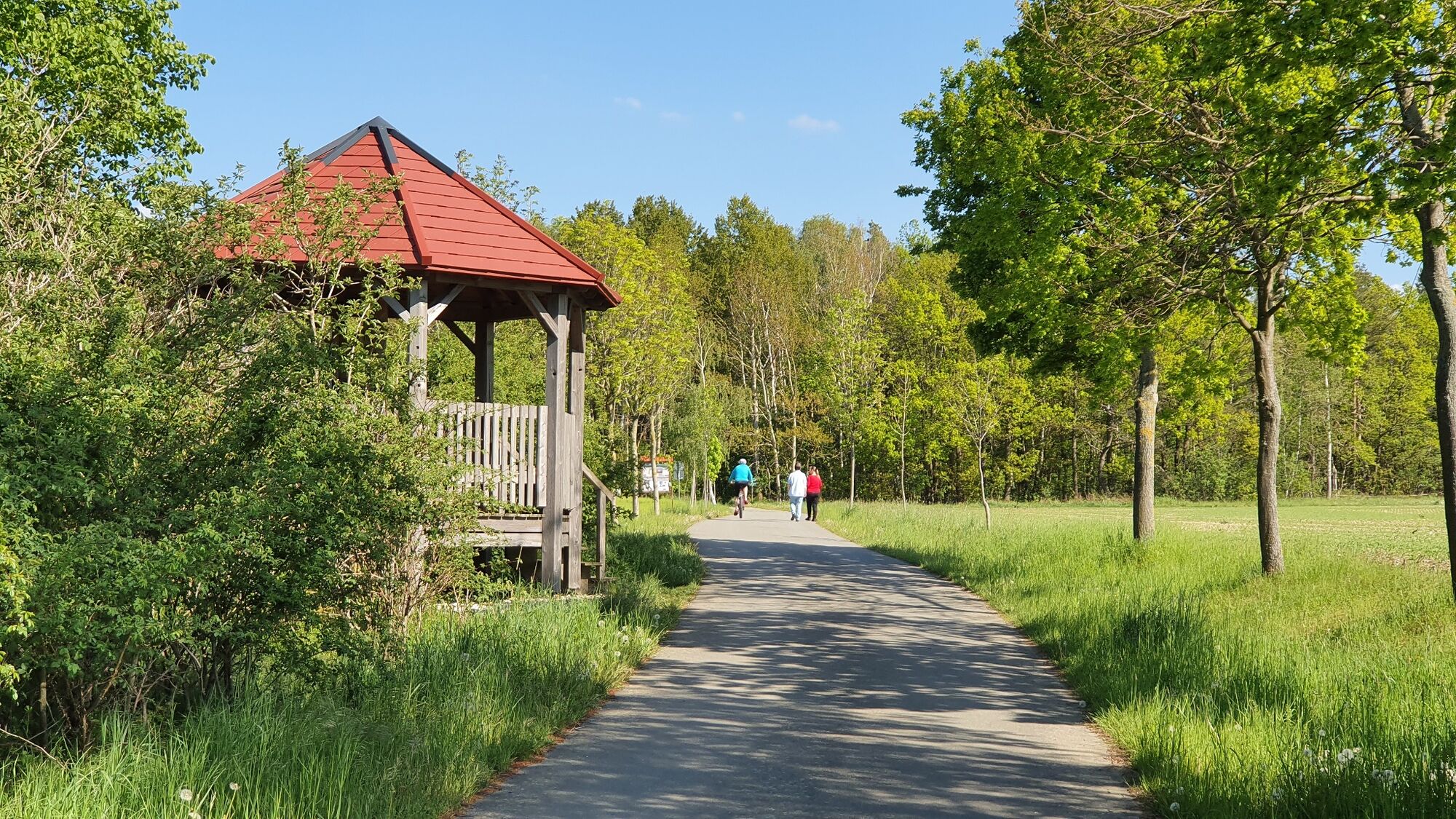
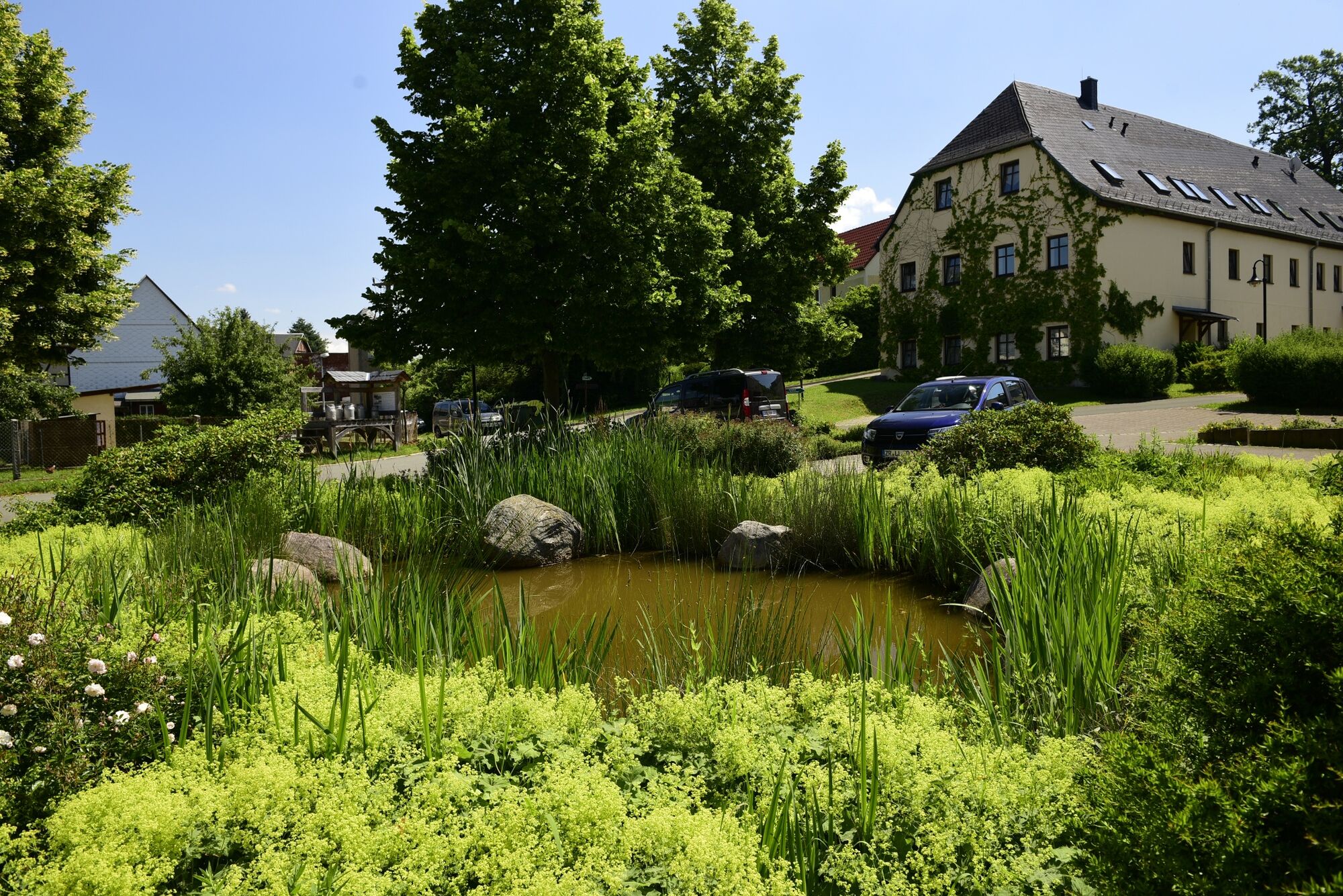
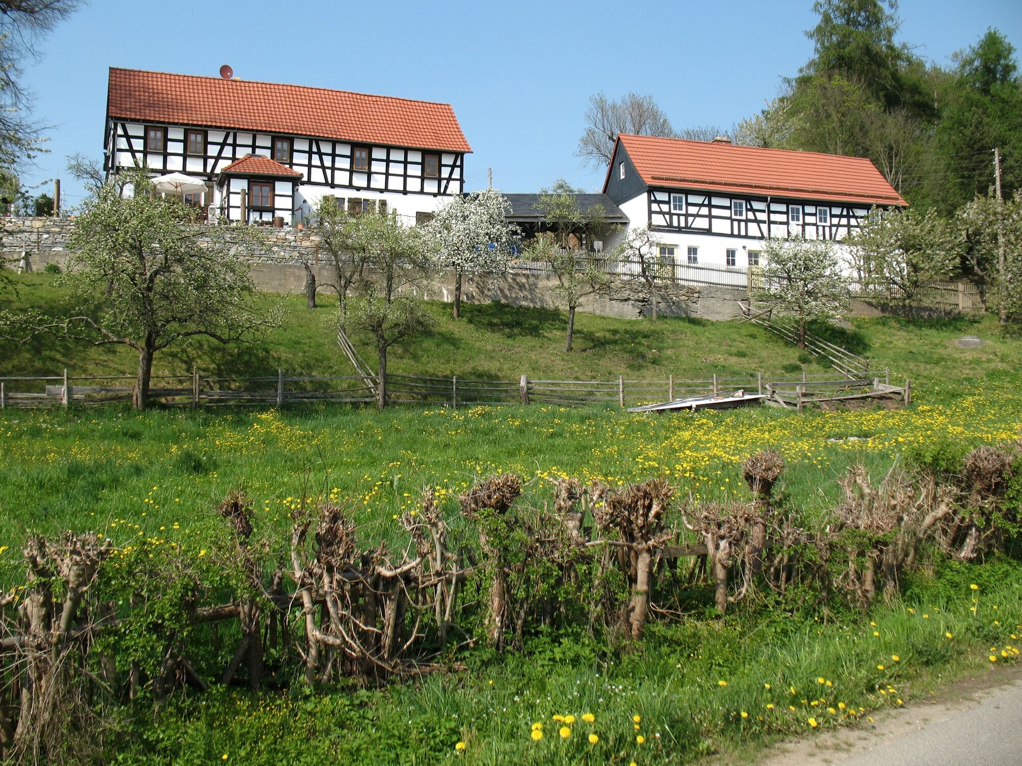
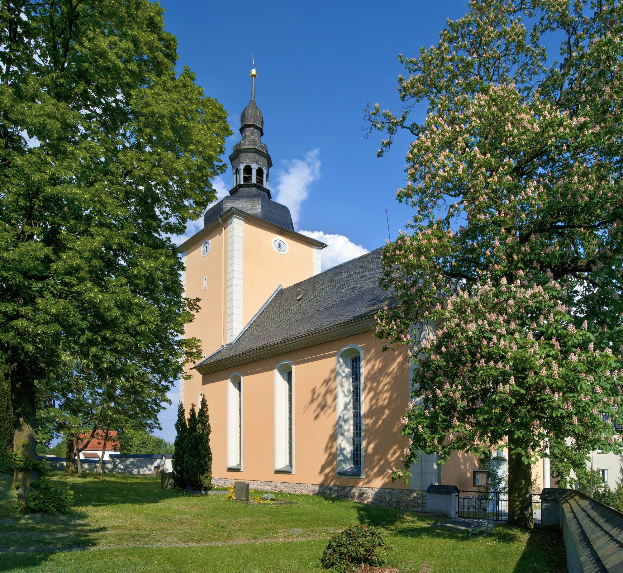
Auf sonnigen Wegen haben Sie einen weiten Ausblick über Langenwolschendorf und das umliegende Land.
- Difficulty
-
easy
- Rating
-
- Route
-
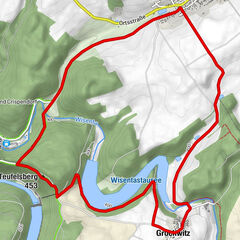
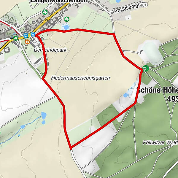
Langenwolschendorf0.1 km
- Best season
-
JanFebMarAprMayJunJulAugSepOctNovDec
- Highest point
- 482 m
- Endpoint
-
Gemeindeamt Langenwolschendorf
- Height profile
-
 © outdooractive.com

- Author
-
The tour Sonnenrundweg Langenwolschendorf is used by outdooractive.com provided.
GPS Downloads


General info
Insider tip
A lot of view
Other tours in the regions