Trekking dei laghetti alpini - Stage 5: Cristallina mountain hut-Fusio


- Difficulty
-
difficult
- Rating
-
- Starting point
-
Cristallina mountain hut
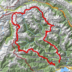
- Route
-
Capanna Cristallina0.1 kmGrottini Lago Sambuco16.7 kmFusio (1,289 m)18.3 km
- Best season
-
JanFebMarAprMayJunJulAugSepOctNovDec
- Description
-
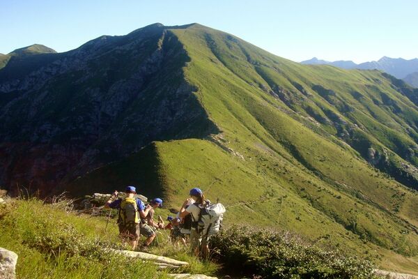
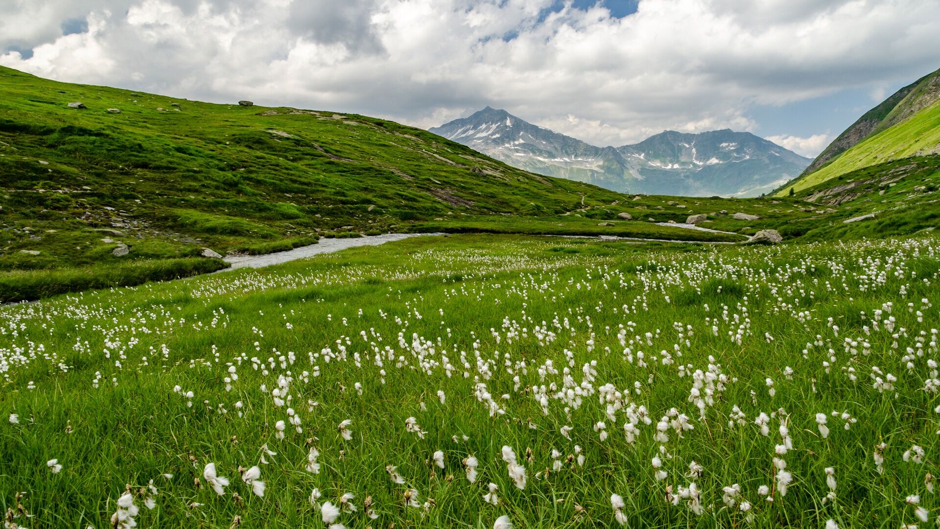
A short interlude in the upper Torta Valley, a side valley of the Bedretto Valley, enables you to circumvent the famous Cristallina massif to the north. The Narèt Pass leads back into the Maggia Valley and to an elegant reservoir adorned with numerous natural lakes.
Their waters meet to form a fast-flowing stream which goes on to become the River Maggia. From here, a final long descent runs alongside the meadows on the left slope of the Val Sambuco, namely the sunny side affording panoramic views. Stretching out below you is Campo la Torba, one of the oldest and most prized mountain pastures in the region, long disputed between Airolo and Fusio.
Later on, the path continues along a ledge overlooking the blue Sambuco fjord, which takes you all the way to the abandoned mountain farmland of Larecc. Now it’s time to tackle the final stretch to Fusio, completing the long loop and bringing to a close five memorable days in the great outdoors.
An unforgettable experience in a spectacular Alpine lake landscape.
- Directions
-
Capanna Cristallina-Passo del Narèt-Lago del Narèt-Lago del Forna-Garzonera-Starlarescio-Piatto-Corte del Prevosto-Traversa-Larecc-Fontanalba-Fusio
- Highest point
- 2,564 m
- Endpoint
-
Fusio
- Height profile
-
 © outdooractive.com
 - Equipment
-
good hiking boots
suitable clothing
sunglasses and sunscreen
map with a scale of 1:25,000, altimeter and, if possible, GPS
travel pharmacy and emergency thermal blanket
sufficient food and drink
identity card and cash (francs and euros) - Safety instructions
-
The Alpine lakes trekking route (Trekking dei laghetti alpini) runs mainly along mountain paths (level of hiking difficulty: T3) with some section of Alpine tracks (T4). However, the trek should not be taken lightly, especially in terms of the length of some of the sections and the elevation, reaching altitudes of around 3,000 metres above asl in places.
The following are therefore required:
good physical condition detailed planning (current conditions, weather forecast etc.) surefootedness on uneven ground (scree etc.)Not to be underestimated:
high elevation sudden weather changes presence of snow at the beginning of the season trekking time (particularly when hiking in large groups) often no mobile coverage lack of drinking water sources along some sectionsEmergency telephone number: 112
- Tips
-
Some huts open as early as June, when the connecting sections are usually still covered in snow.
Generally, the best season for trekking is between July and September/October.
However, even in the height of summer, you are advised to contact the guardians to check the state of the route. Overnight stays must be booked in advance in order to avoid unpleasant surprises and find oneself without accommodation.
- Additional information

-

-
AuthorThe tour Trekking dei laghetti alpini - Stage 5: Cristallina mountain hut-Fusio is used by outdooractive.com provided.


General info
-
Uri
1548
-
Ritom - Piora
459
-
Airolo
121