
- Brief description
-
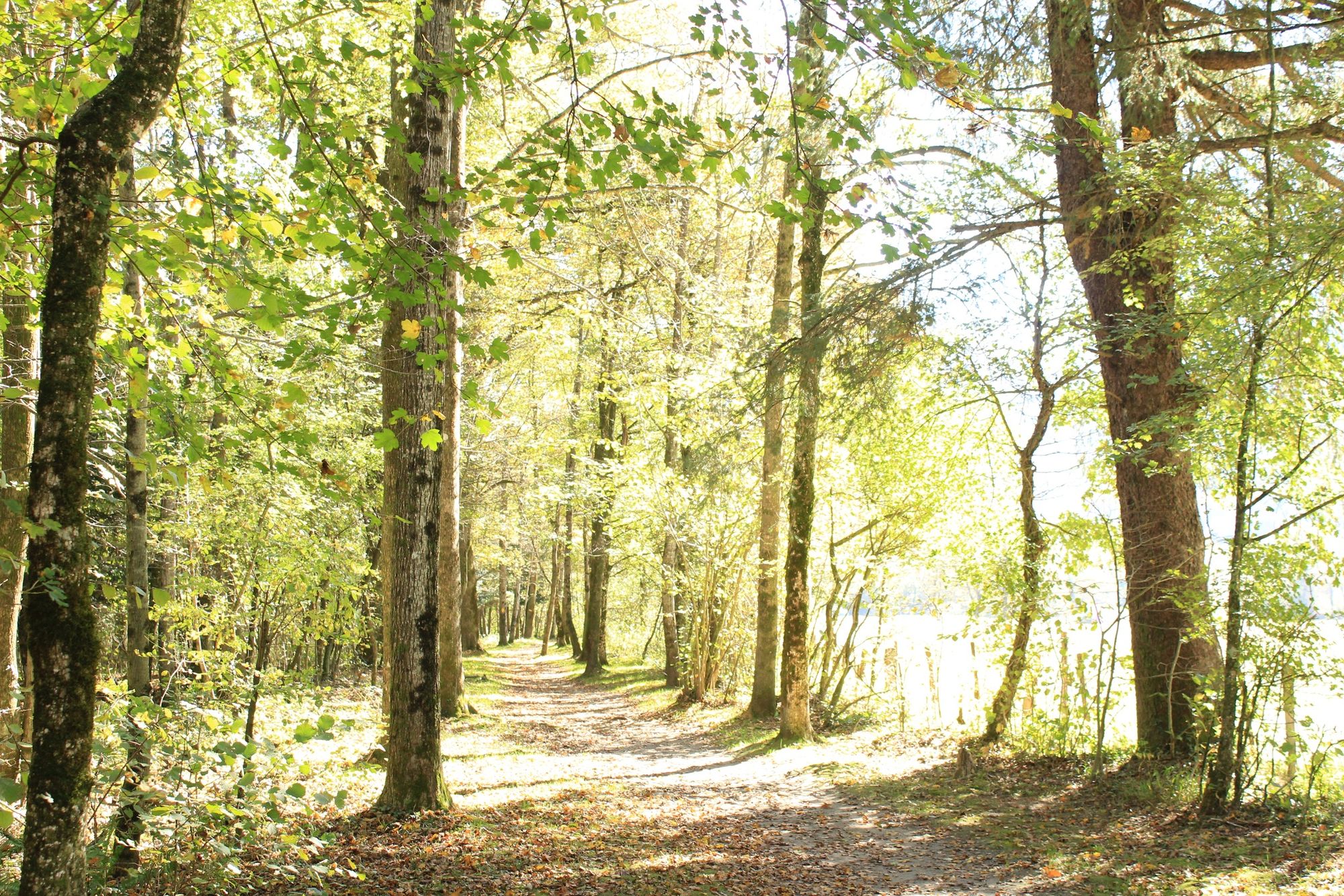
An all-season walk along the Maggia river. Discover the flora and fauna of the Vallemaggia.
- Difficulty
-
easy
- Rating
-
- Starting point
-
Maggia
- Route
-
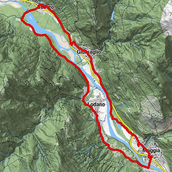
Maggia (372 m)Pizzeria Ristorante Quadrifoglio0.0 kmMoghegno (319 m)0.4 kmLa Ci’apa di Banard’ill1.1 kmLairè1.3 kmAl Todèsc'2.0 kmTorn2.2 kmOsteria Cramalina3.1 kmLodano (345 m)3.4 kmSomeo (366 m)8.1 kmLa alzasca8.2 kmChiesa parrocchiale dei Santi Placido ed Eustachio8.8 kmGiumaglio (377 m)11.0 kmCoglio (357 m)11.6 kmLodano (345 m)12.2 kmChiesa di San Maurizio14.8 kmMaggia (372 m)15.1 kmMoghegno (319 m)15.3 kmPizzeria Ristorante Quadrifoglio15.5 km
- Best season
-
JanFebMarAprMayJunJulAugSepOctNovDec
- Description
-
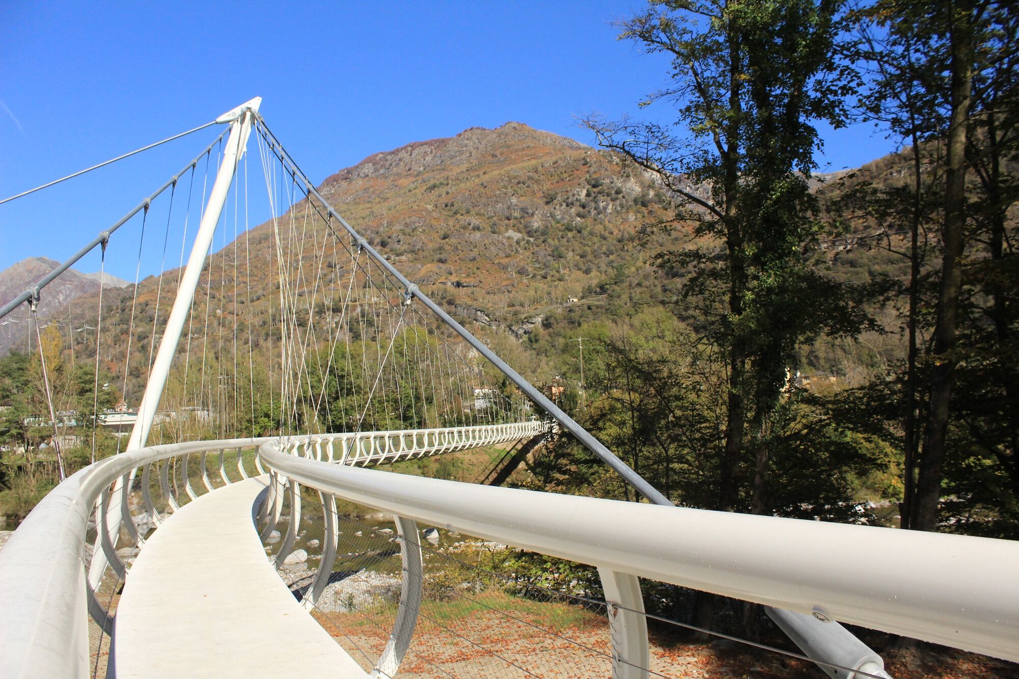
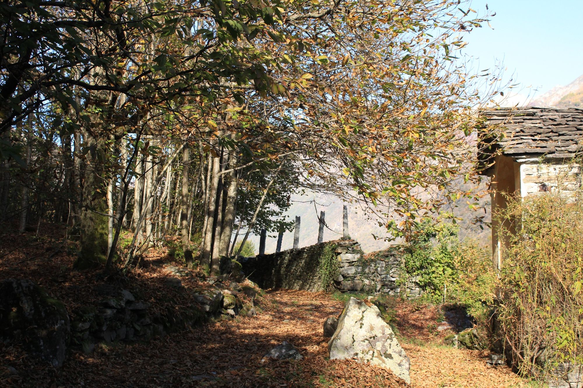
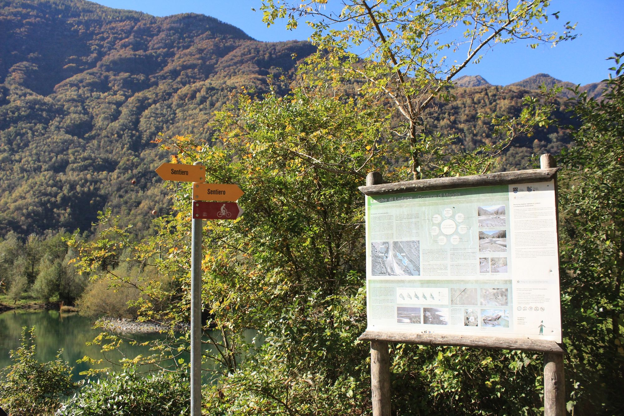
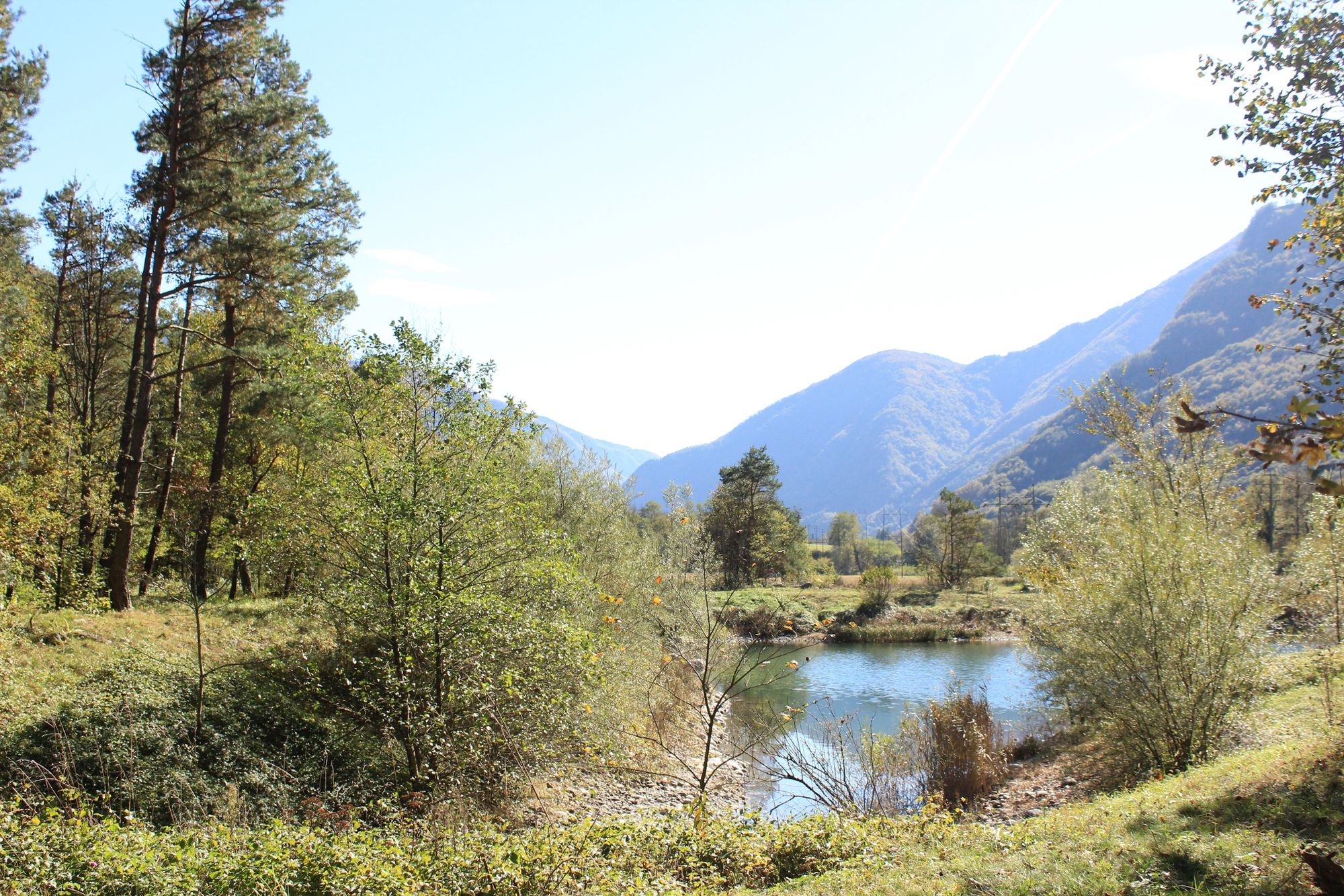
In Maggia village, go down to the river and cross the suspension bridge. Turn immediately right along the road up to Pii, where the route follows a footpath above the road; in the chestnut wood, you pass rustici and follow gentle ups and downs to Lodano.
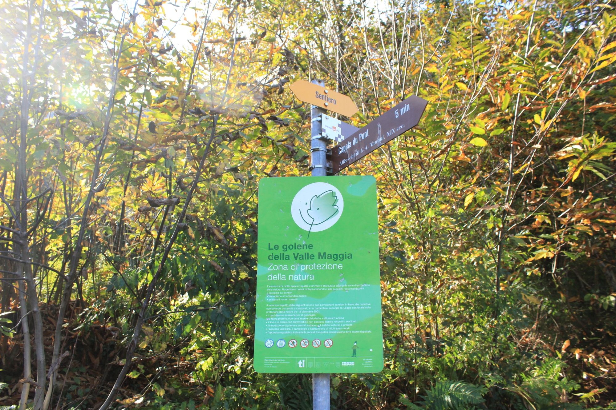
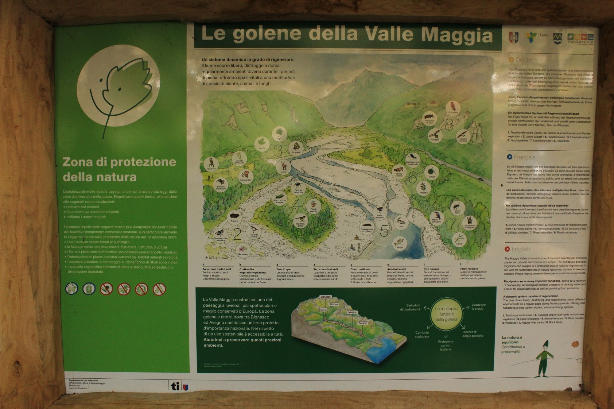
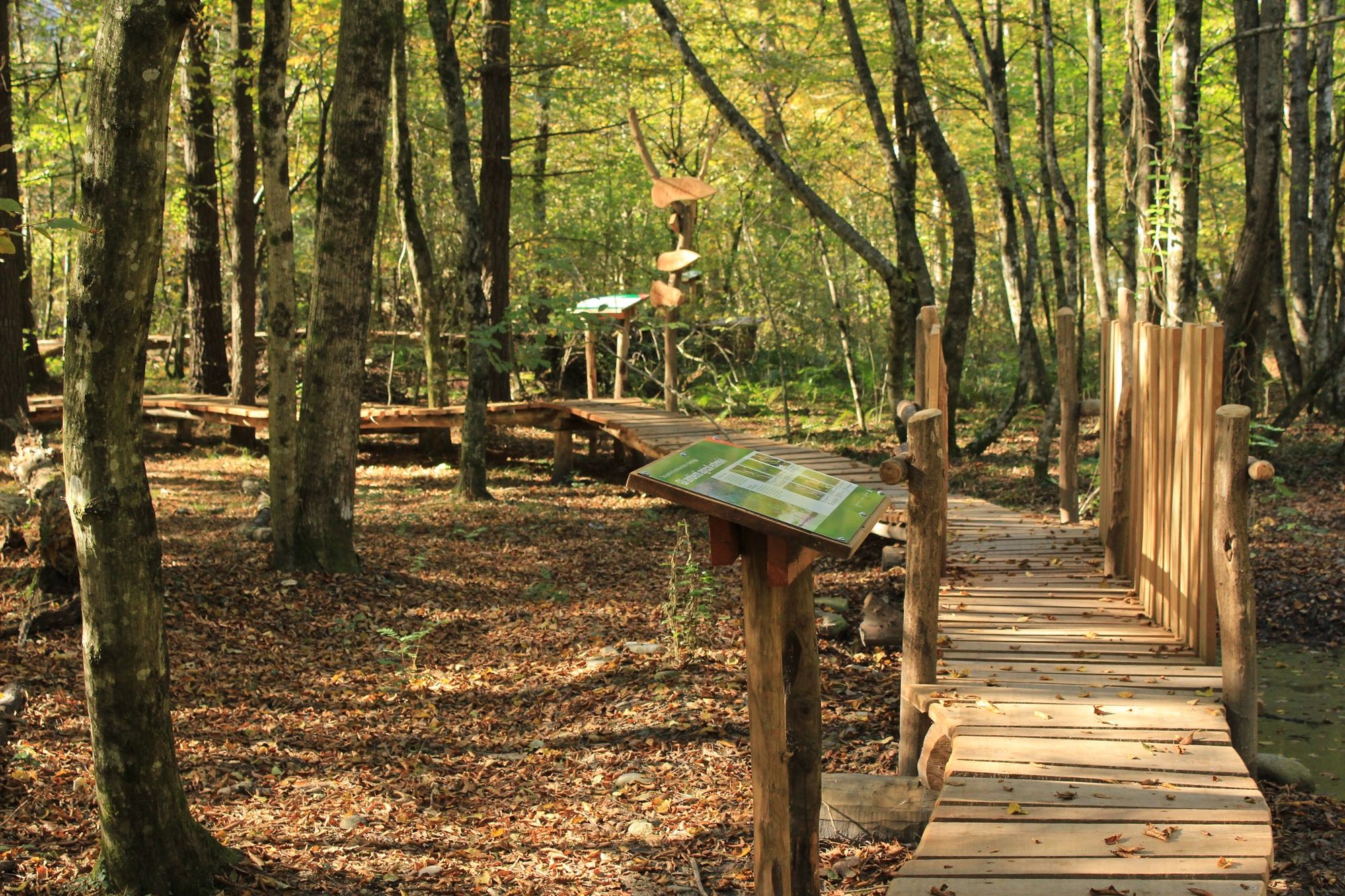
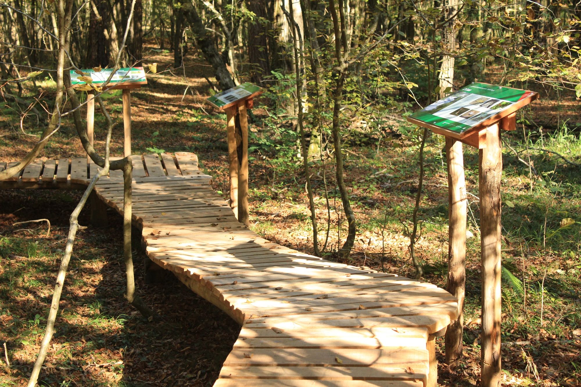
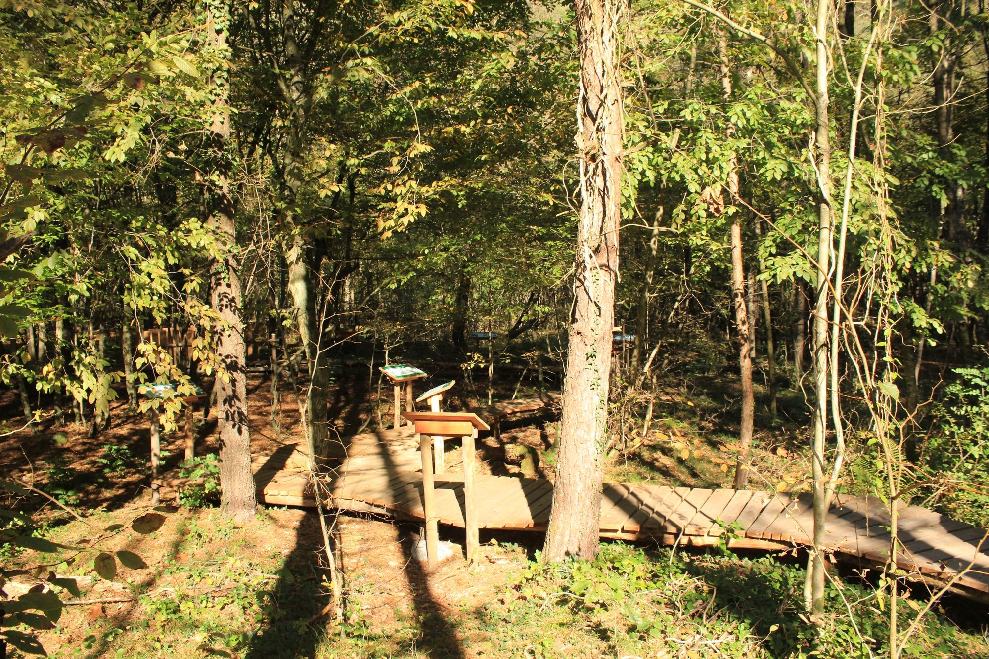
You come back to asphalt through the village and vineyards to the river. On the path above the river you pass the first footbridge (Giumaglio) and cross the second one, which leads to Someo. Now turn right into the wood, which conceals a boardwalk with information panels explaining the marshy landscape bordering the river; also here is a barbecue spot complete with tables and benches.
From Someo, follow the road through the villages of Giumaglio and Coglio to Lodano (only partly an official footpath). At the beginning of the bridge, turn left onto the footpath to Maggia village and through the wood past the nature reserve (make a note of the bus times from and to Maggia). The bus can be taken from Someo, which shortens the walk.
Podcast "Vallemaggia"
- Directions
-
Maggia-Moghegno-Lairé-Al Tórn-Lodano-Ronchin-A Dalòvi ad Fòra-Someo-Giumaglio-Maggia
- Highest point
- 401 m
- Endpoint
-
Maggia
- Height profile
-
 © outdooractive.com
 - Equipment
-
Hiking daypack (approx. 20 liters) with rain cover
Comfortable and sturdy footwear
Adequate and durable outdoor clothing in multiple layers
Telescope sticks if necessary,
Sun and rain protection
Snacks and drinking water
First aid kit
Penknife
Mobile phone, headlight if necessary
Maps - Public transportation


- Author
-
The tour Maggia-Someo-Maggia is used by outdooractive.com provided.


General info
-
Lago Maggiore / Lombardei
745
-
Vallemaggia
499
-
Maggia TI
169