Via Alta Vallemaggia - Stage 3: Rifugio Alpe Masnee-Capanna Alpe Spluga


- Brief description
-
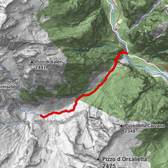
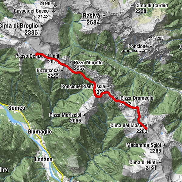
The third stage of Via Alta Vallemaggia goes from Masnee alp (2063 m/a/s/l) to Spluga alp (1838 m/a/s/l).
- Difficulty
-
difficult
- Rating
-
- Starting point
-
Rifugio Alpe Masnee
- Route
-
Al MasnèeAlpe Cuasca6.1 kmAlpe Spluga10.2 kmRifugio Alpe Spluga10.2 km
- Best season
-
JanFebMarAprMayJunJulAugSepOctNovDec
- Description
-
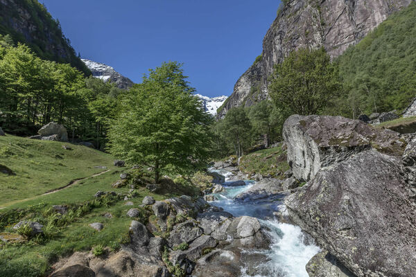
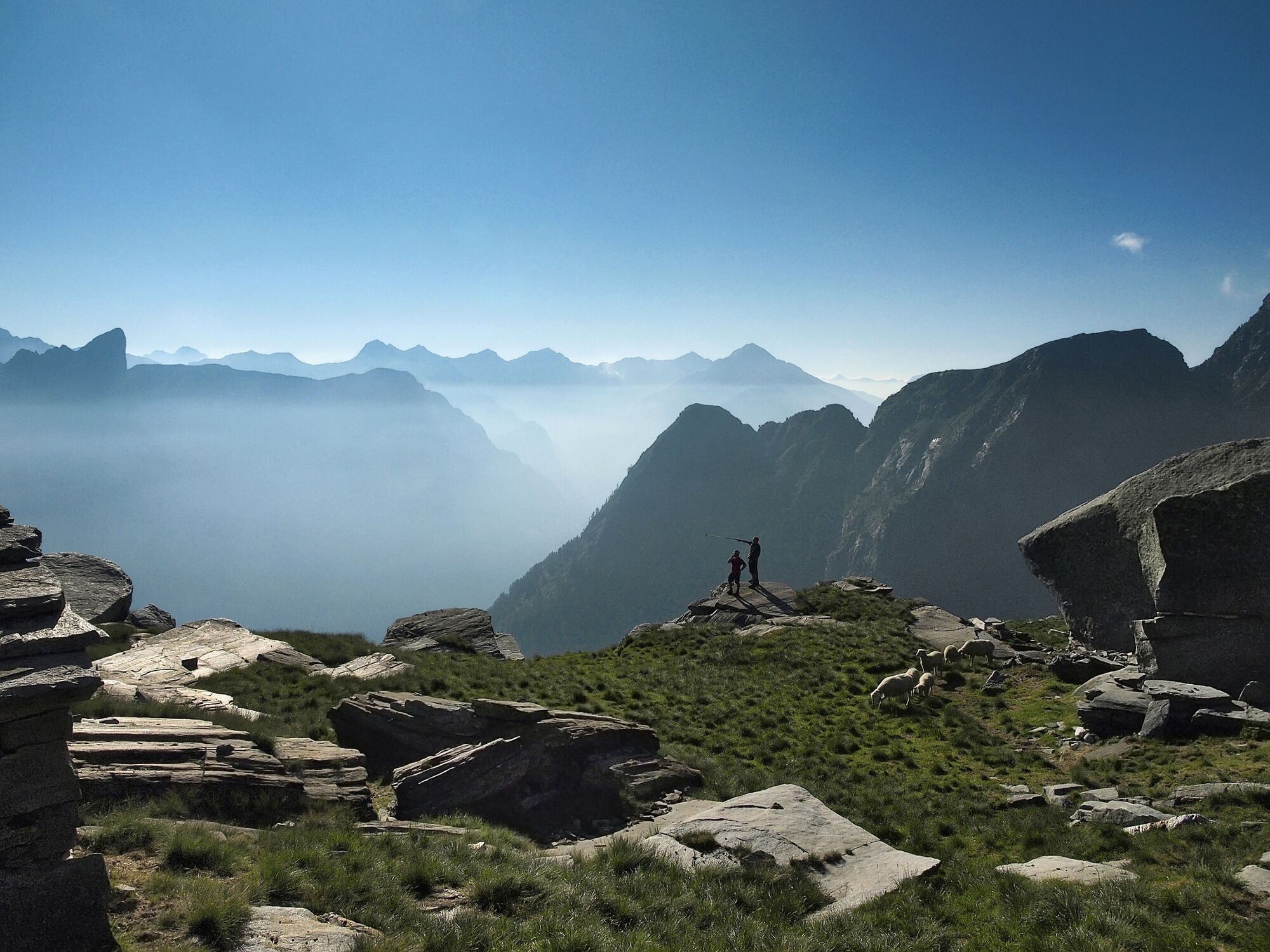
After a quick visit to the Verzasca side of the Pizzo Costisc and Scimarmota, our route cuts across the sunny slopes of the Poncione Piancascia, with its blend of rocky meadows, curious goats and shy chamois.
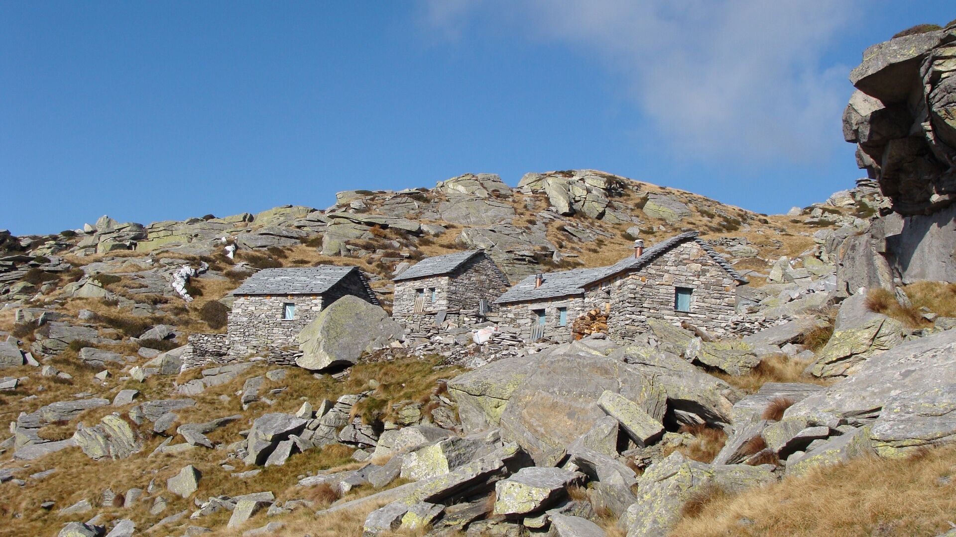
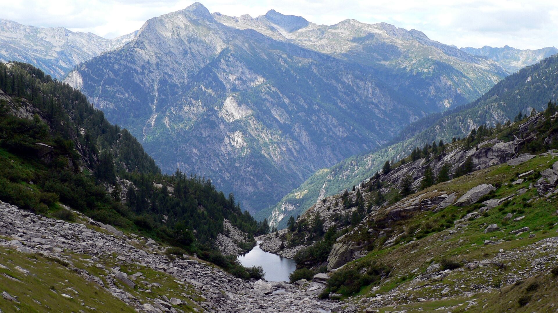
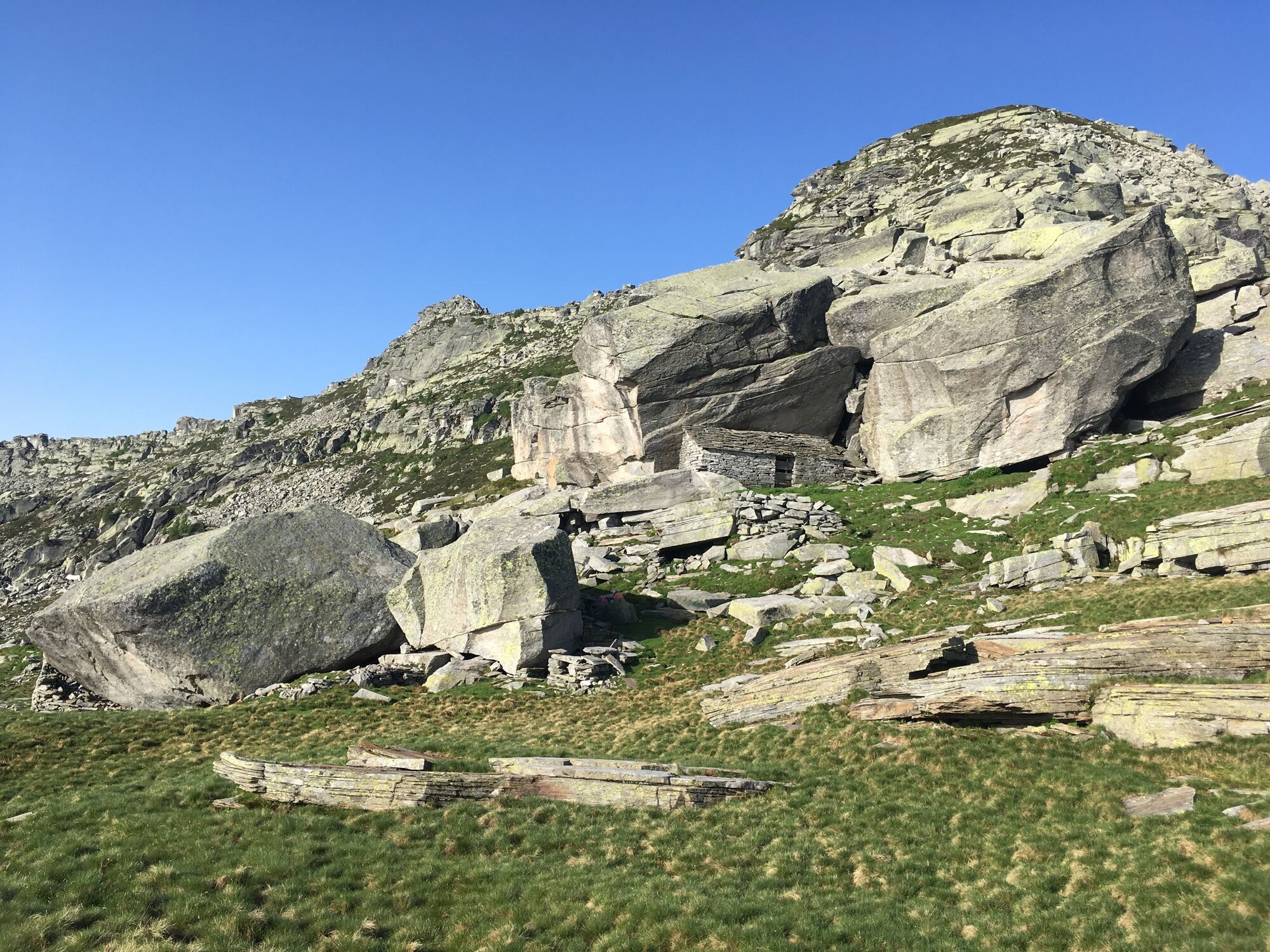
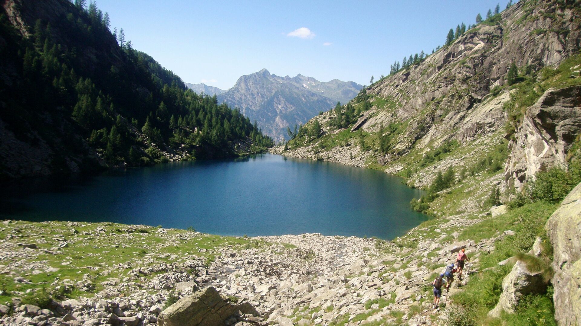
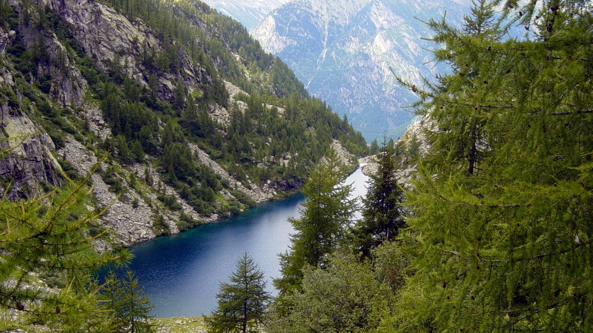
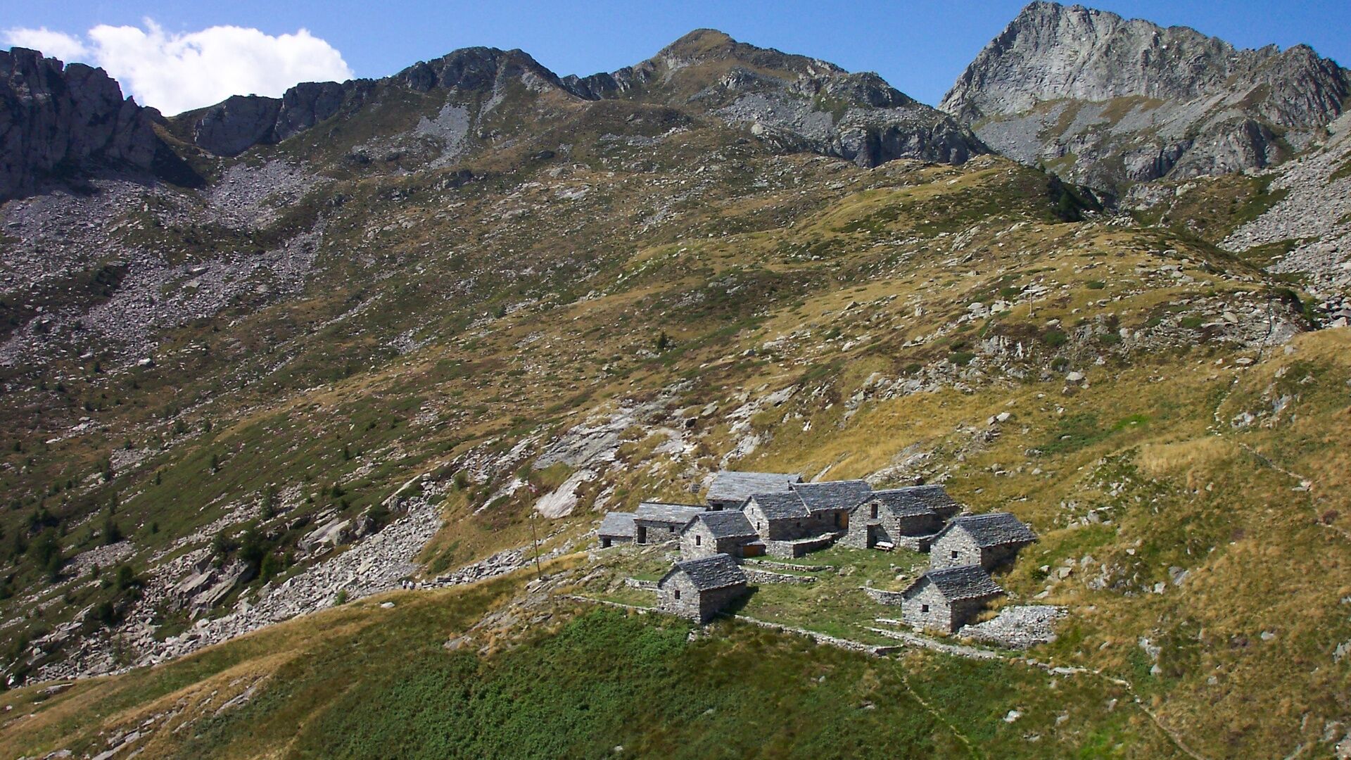
Having turned the corner, we make our way down almost to the edge of the woods, crossing through a number of valleys, through the Alpe Cuasca with its fountain (the only one along the route), and heading towards a secluded pass with an intriguing name: the Passo dei Due Laghi (Two Lake Pass). The pass links the twin valleys of Coglio and Giumaglio, while the two lakes, perched on the slopes of the crossing place, invite us to linger, perhaps go for a paddle or dive in for a refreshing swim. Finally, we make our way to the Alpe Spluga. It would be a shame to leave it late and arrive just in time for dinner: it’s an enchanting spot where you can laze on the grass, enjoying the silence and giving in to idle thoughts while watching the clouds go by.
Source: Associazione Via Alta Vallemaggia
- Directions
-
Rifugio Alpe Masnee-Scimarmòta-Alpe Cuasca-Passo dei Due Laghi-Capanna Alpe Spluga
- Highest point
- 2,134 m
- Endpoint
-
Capanna Alpe Spluga
- Height profile
-
 © outdooractive.com
 - Equipment
-
Good hiking boots
Suitable clothing
Sunglasses and sunscreen
Map with a scale of 1:25,000, altimeter, compass, and, if possible, GPS
Travel pharmacy and emergency thermal blanket
Sufficient food and drink
Identity card and cash (francs and euros) - Safety instructions
-
The Via Alta Vallemaggia alternates between mountain trails (T3) and Alpine routes (T4-T5–) and includes short exposed stretches (risk of falling) and climbing sections. The trickier sections are often equipped with chains or staples.
Some huts open as early as June, when the connecting sections are usually still covered in snow. Generally, the best season for trekking is between July and September/October. However, even in the height of summer, you are advised to contact the guardians to check the state of the route. Overnight stays must be booked in advance in order to avoid unpleasant surprises and find oneself without accommodation.
The following are therefore required:
Good experience in the alpine environment Good physical condition Detailed planning (current conditions, weather forecast etc.) Sure-footedness off the marked trails and a head for heightsNot to be underestimated:
High elevation Sudden weather changes Presence of snow at the beginning of the season Trekking time (particularly when hiking in large groups) Often no mobile coverage Lack of drinking water sources along some sectionsSwiss REGA air ambulance service: 1414
Generaly emergencies (international): 112
When you call 112, your call is automatically transferred to the relevant emergency unit (ambulance, police and fire brigade). 112 can be called via the GSM network even if your SIM card or mobile phone are blocked. In virtually all countries, 112 works on a GSM network. Outside Switzerland, it also works without a SIM card.
In an emergency:
Keep calm Protect injured persons and people in difficulty from further danger, the cold and bad weather Lend first aid Call for help and start rescue operations; never leave injured persons alone Think about your own safety, too - Tips
-
BOOK ONLINE
Check the availability of beds in the huts of Via Alta Vallemaggia indicating the day of departure, the number of participants and the direction chosen.
Reservations must be made individually for each hut. Clicking on the number of available beds will open the reservation page for the relevant hut.
https://www.viaaltavallemaggia.ch/en/check-availability
https://www.viaaltavallemaggia.ch/en/lodges
-

-
AuthorThe tour Via Alta Vallemaggia - Stage 3: Rifugio Alpe Masnee-Capanna Alpe Spluga is used by outdooractive.com provided.


General info
-
Lago Maggiore / Lombardei
745
-
Vallemaggia
501
-
Maggia TI
175