Educational trail - Between the Mountains and the Lake - Stage 3: Magadino-Cadenazzo


- Difficulty
-
medium
- Rating
-
- Starting point
-
Magadino
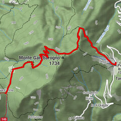
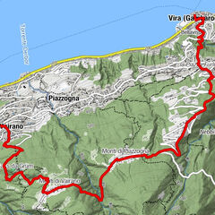
- Route
-
Magadino (196 m)0.1 kmOrgnana0.9 kmQuartino3.8 kmGrotto la Strega3.8 kmContone (206 m)7.2 kmSan Giovanni Battista7.4 kmCadenazzo (247 m)8.6 kmCadenazzo (208 m)8.7 km
- Best season
-
JanFebMarAprMayJunJulAugSepOctNovDec
- Description
-
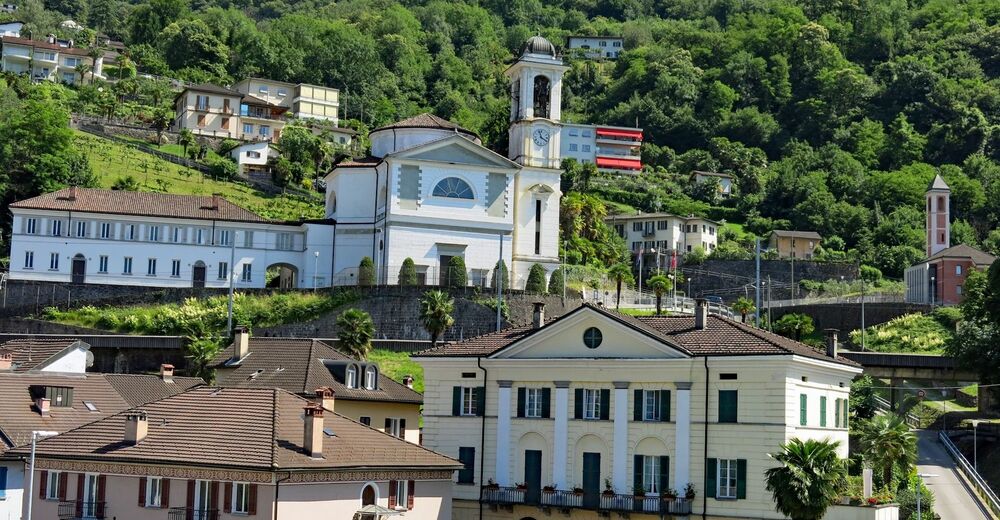
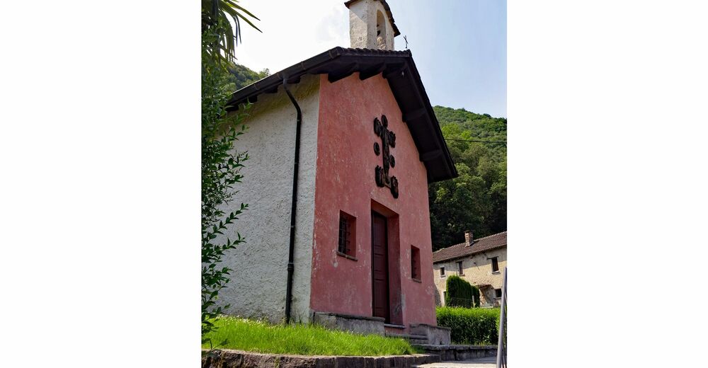
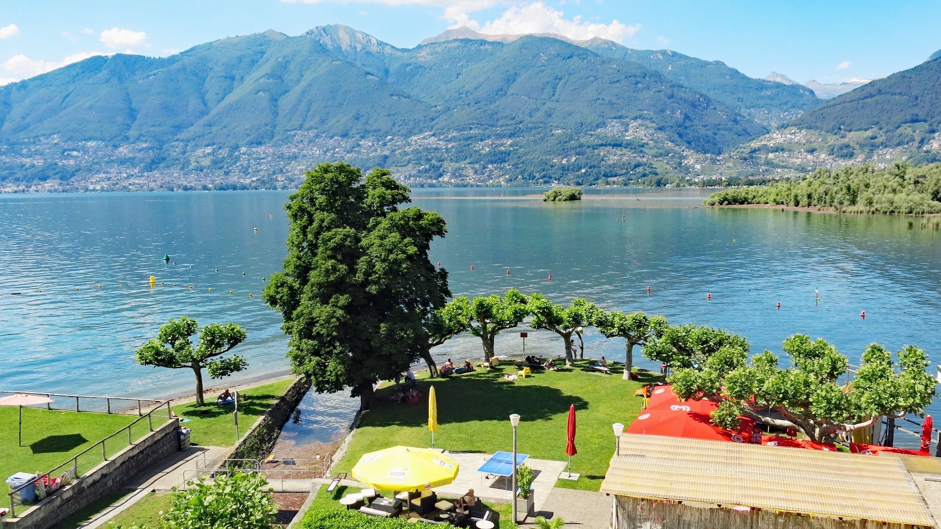
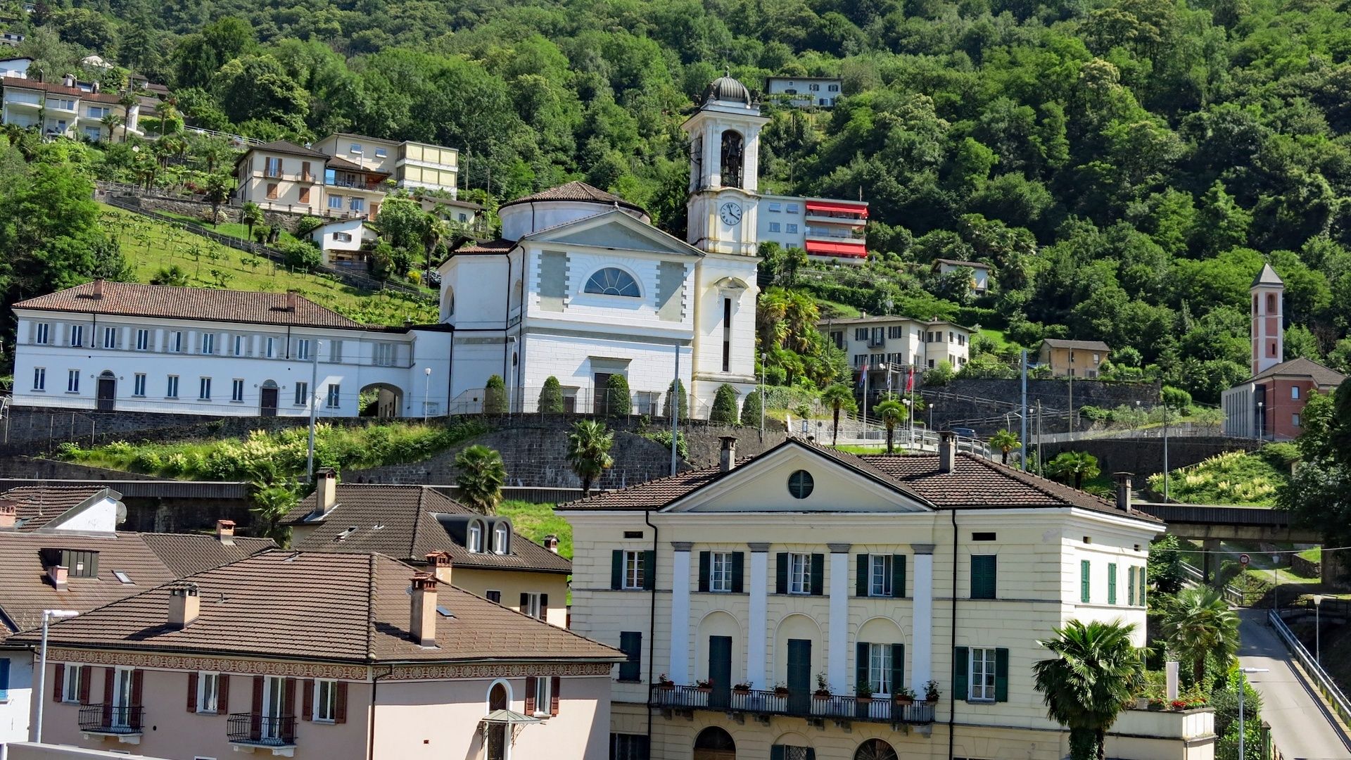
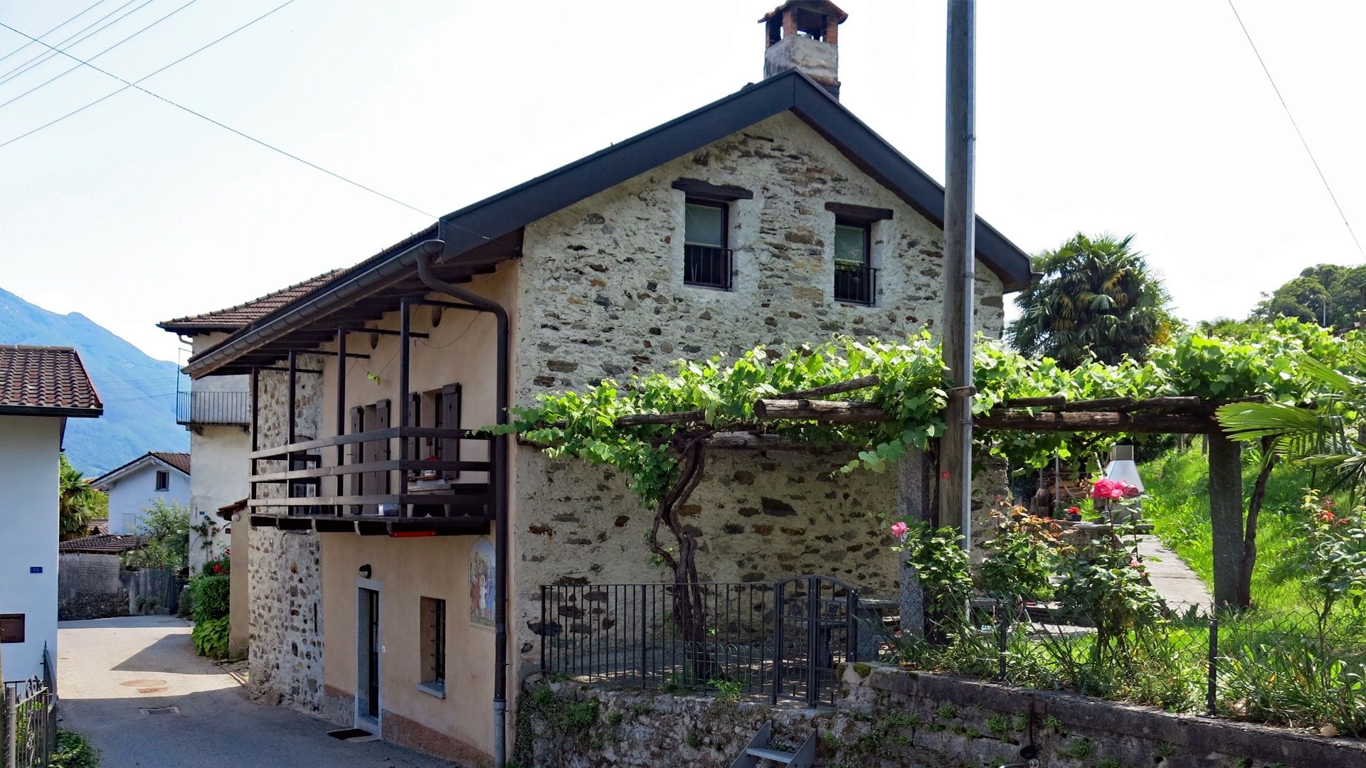
The third part of the educational trail starts from the Meschini municipal park in Magadino and climbs towards Orgnana. Just above the cantonal road, it is impossible not to notice to the stunning façade of the Villa Ghisler with the elegant complex of the parish church dedicated to San Carlo Bartolomeo just above. Both the villa and church were designed by the famous Milanese architect Giacomo Moraglia a few years after the creation of the municipality of Magadino, which separated from Vira in 1843. Information about Moraglia and the church is displayed on the panel in front of the monument. The church of San Carlo is well-known for its prestigious organ and plays host to a major international organ festival held every year since 1963.
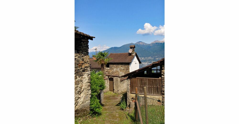
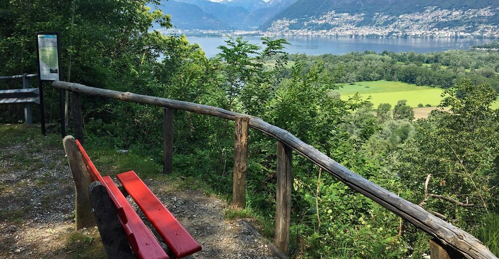
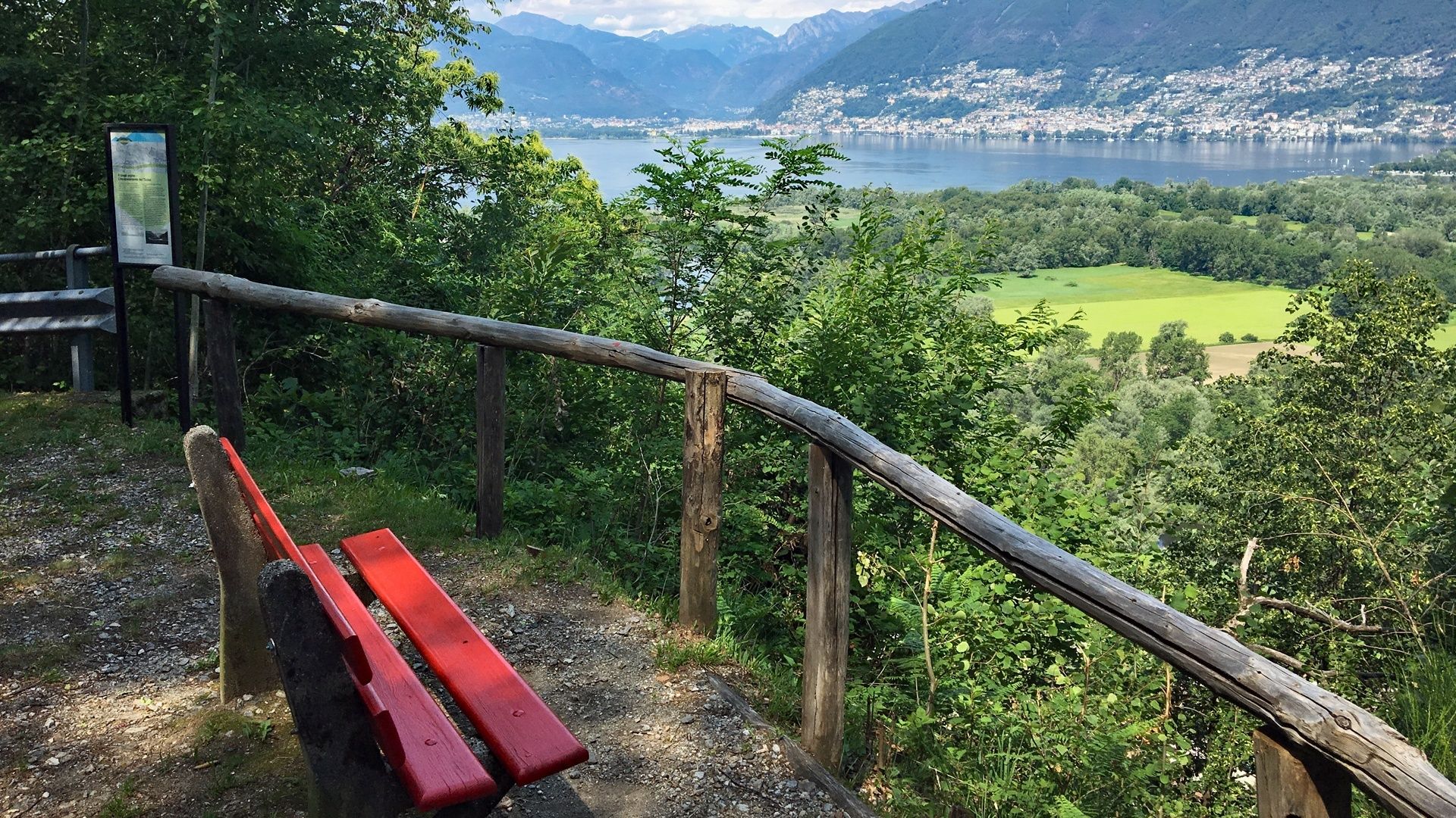
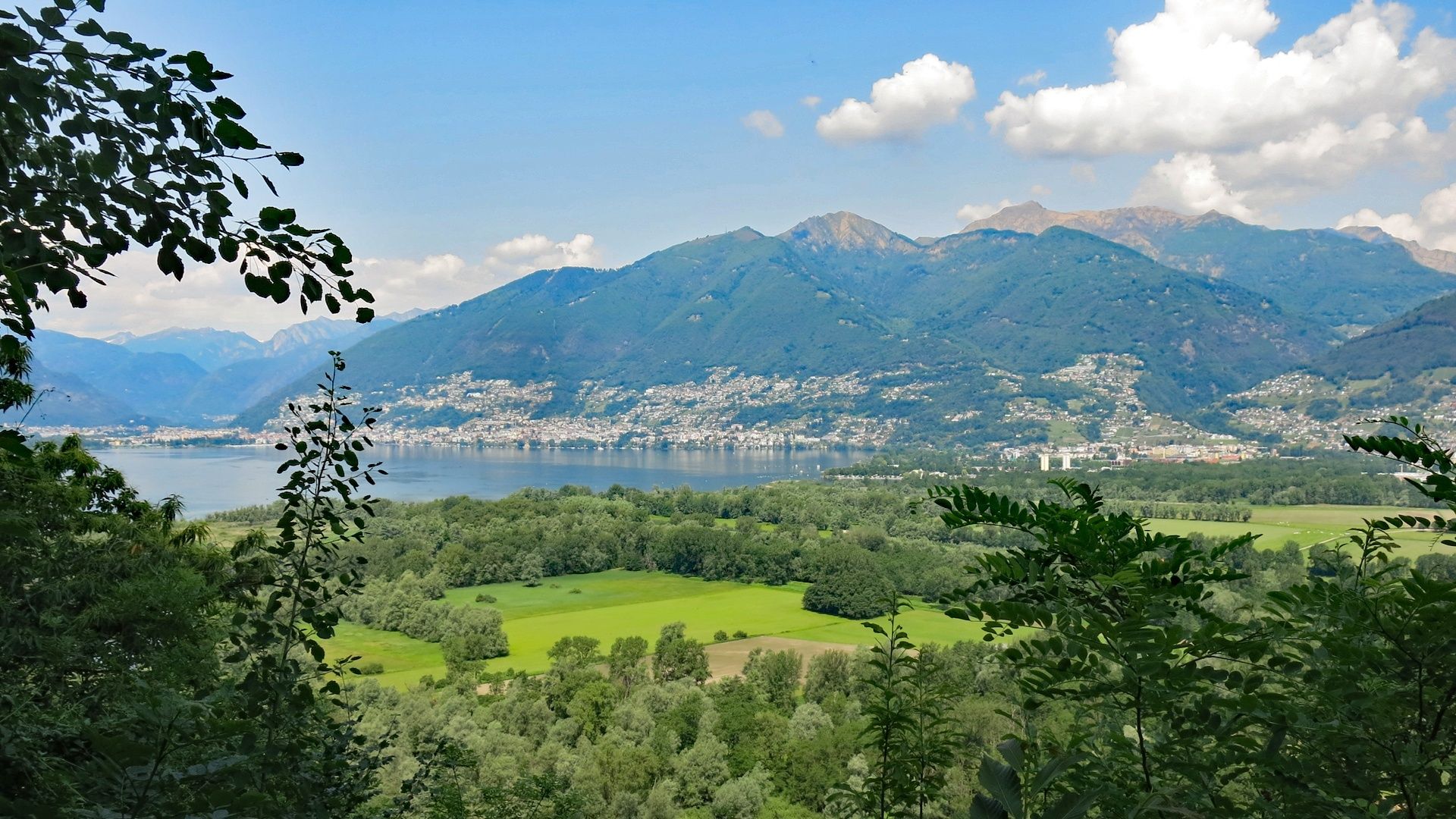
A stone’s throw from the parish church is the church of the Madonna della Neve. The educational trail climbs up to the small square in Orgnana, which offers stunning views of the lake, before heading in the direction of Cavriana. At the start of the local road that leads to Cavriana and Quartino, you will find a panel about the Lake Maggiore basin, the mouth of the Ticino and the Verzasca. It’s interesting to see where the lake came to 12,000 years ago! The trail continues in the shade of the chestnut trees and you can rest a while on a bench near Monti by a panel that describes another important 19th-century project, the canalisation of the river Ticino. Descending towards the town of Quartino, just above the village, there is an interesting panel relating to the industrial area below and municipal services.
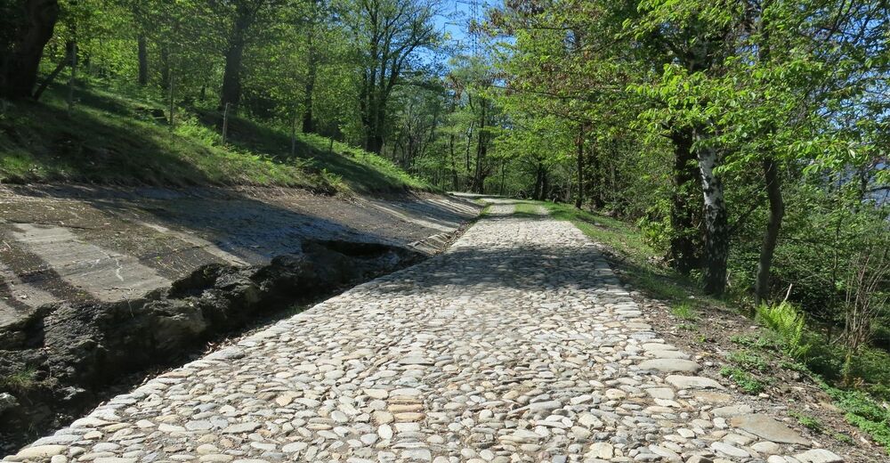
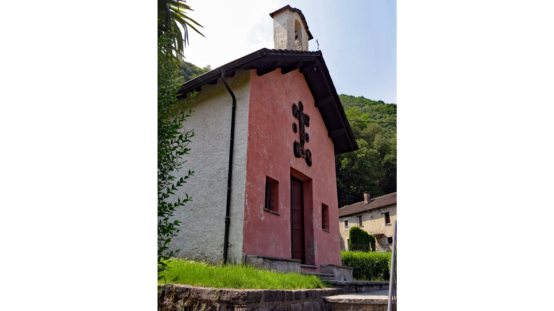
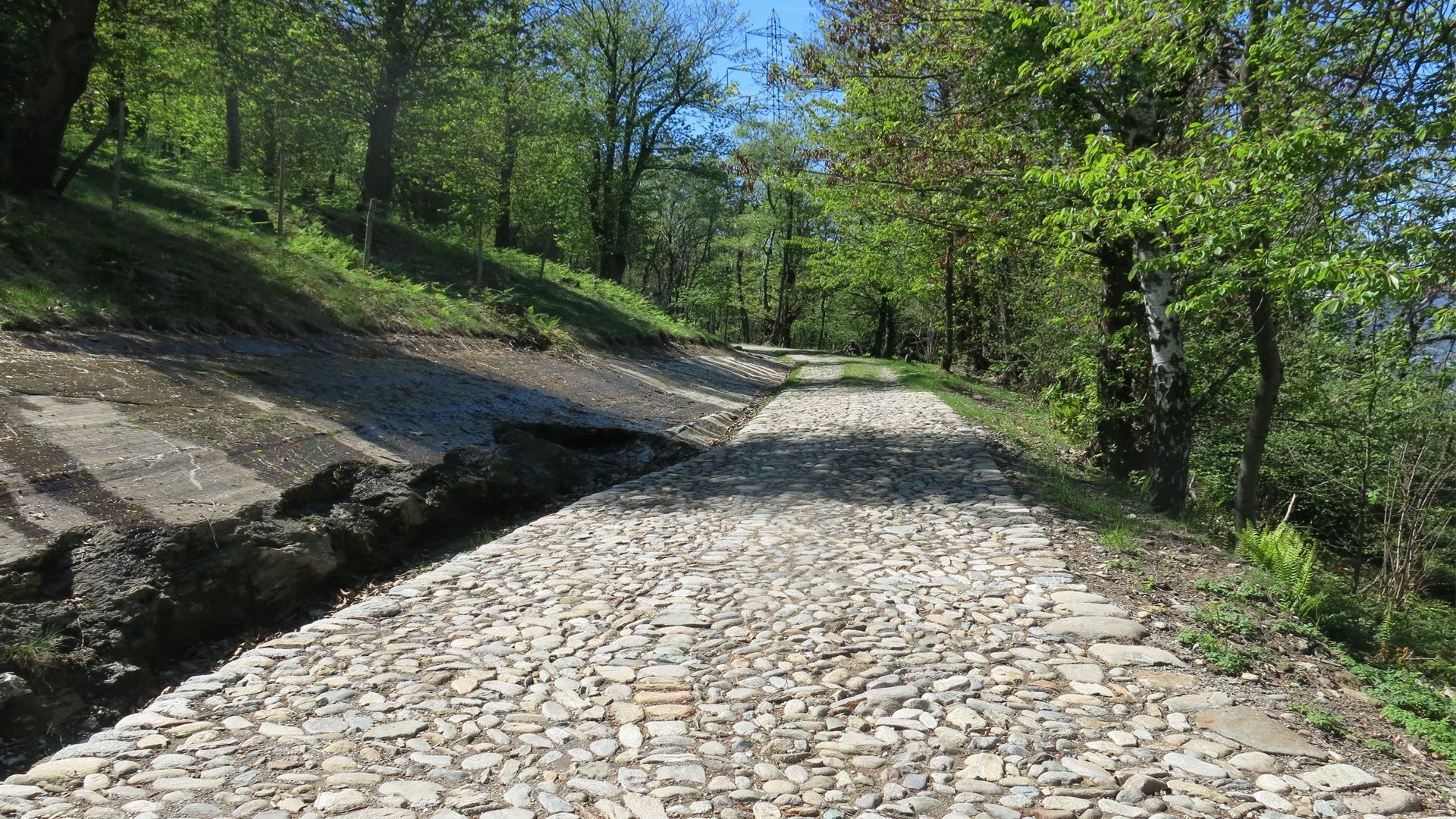
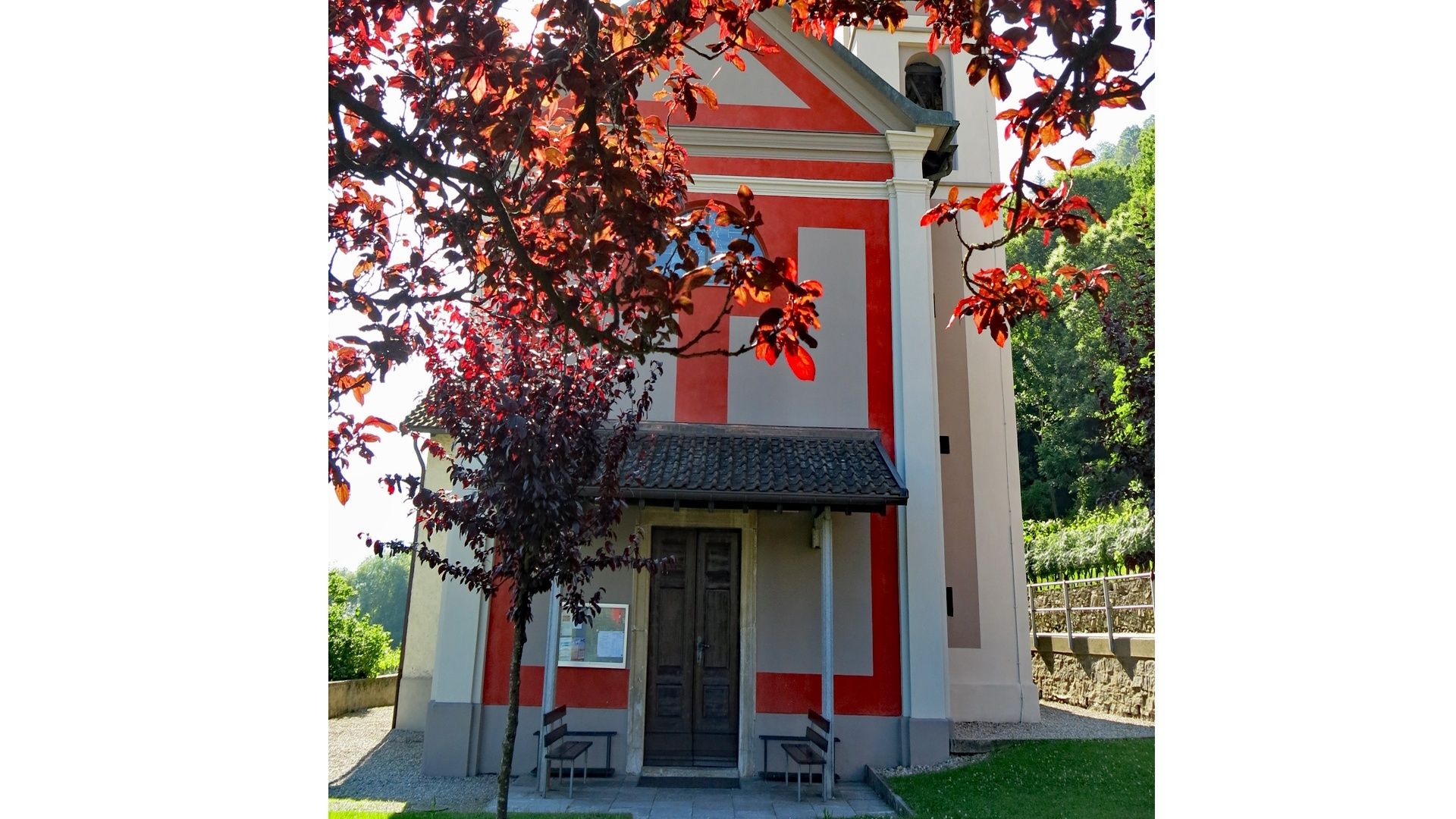
Just past Quartino and the Trodo stream, the Between the Mountains and Lake trail climbs back up towards Monte Ceneri, passing the cemetery and continuing along the 19th-century Montecenerino road, considered one of the most interesting and important historical streets in the canton. This section is home to panels with information about the history of the road and the restoration project carried out in 2015. At the Monte Pioda bend, the Between the Mountains and the Lake trail leaves the Montecenerino road and takes the Via di Contone, descending through the Sparavera wood. Once past Contone, the route stops by the old bread oven, evidence of a village tradition, and the supposed hospice of the Knights of Malta, the historical presence of which has always been extremely important to Contone; the two themes are described in detail by the information panels near the oven. A little further on, you will reach the church of San Giovanni Battista (Saint John the Baptist), dedicated to this particular saint due to the presence in Contone of the hospital order of Saint John (firstly of Jerusalem then of Malta); the panel at the entrance to the avenue leading to the church illustrates the fascinating history of this place of worship.
Further on, just behind the church towards the mountain, you will find two panels. One describes the centuries-old relationship of solidarity between the communities of Contone and Robasacco, while the other relates the history of the ancient church of San Nicola, abandoned for centuries, which once stood on the hill above Contone. On the way to Cadenazzo, deep in the countryside, there is a panel about the architecture and viticulture of the Magadino plain. The route ends at Cadenazzo railway station, home to the route panel and two themed panels, one illustrating the history of the important railway junction established in the 19th century and the other discussing the Magadino plain, from its 19th-century reclamation to the recent establishment of the Parco del Piano di Magadino.
- Directions
-
Magadino-Orgnana-Cavriana-Motto Rabello-Quartino-Contone-Cadenazzo, Stazione
- Highest point
- 390 m
- Endpoint
-
Cadenazzo, Stazione
- Height profile
-
 © outdooractive.com
 - Equipment
-
Hiking daypack (approx. 20 liters) with rain cover
Comfortable and sturdy footwear
Adequate and durable outdoor clothing in multiple layers
Telescope sticks if necessary,
Sun and rain protection
Snacks and drinking water
First aid kit
Penknife
Mobile phone, headlight if necessary
Maps - Tips
-
Timings:
Taking your time to read the panels and stopping to admire the landscape, you should allow at least three and a half hours.Amenities:
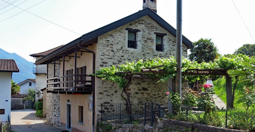
There are grocery stores and restaurants in Magadino, Quartino, Contone and Cadenazzo.
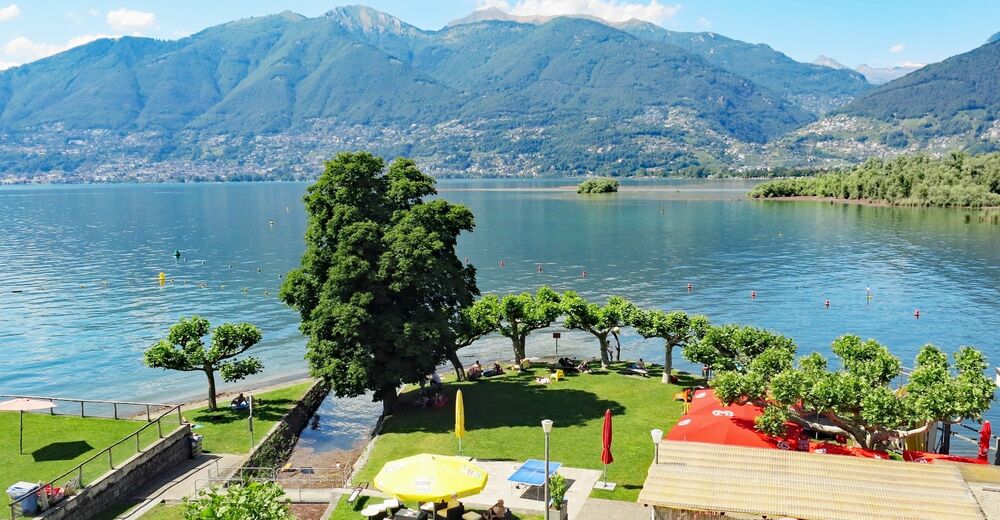
The public swimming area in Magadino is open during the summer months. - Public transportation
-
Autopostale PostBus stops in Magadino, Quartino, Contone and Station Cadenazzo.
Boat jetty in Magadino.
- Author
-
The tour Educational trail - Between the Mountains and the Lake - Stage 3: Magadino-Cadenazzo is used by outdooractive.com provided.


General info
-
Lago Maggiore / Lombardei
746
-
Gambarogno Riviera
593
-
Monte Tamaro
261