Educational trail - Between the Mountains and the Lake - Stage 2: San Nazzaro-Magadino


- Difficulty
-
easy
- Rating
-
- Starting point
-
San Nazzaro
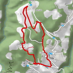
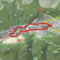
- Route
-
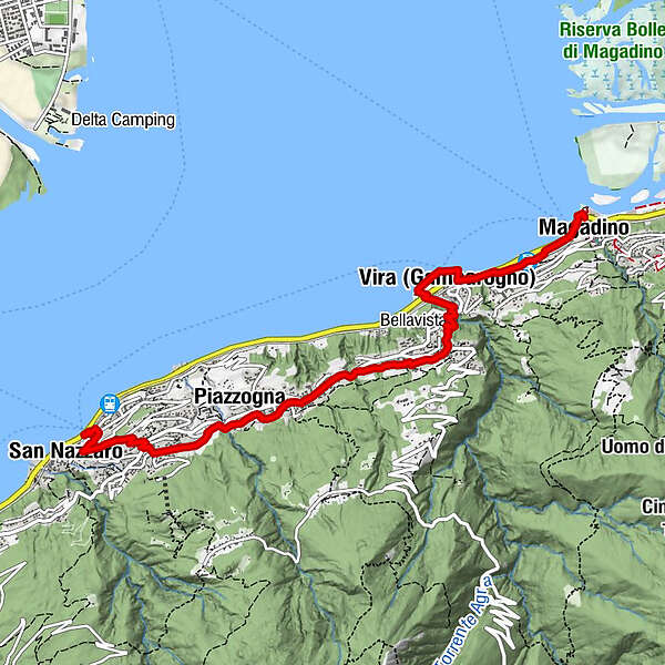
San Nazzaro (211 m)San Nazzaro (201 m)0.4 kmOsteria Viarano1.0 kmVairano (392 m)1.2 kmPiazzogna (365 m)1.8 kmAl Grottino2.6 kmGambarogno (196 m)3.0 kmMonti di Fosano3.9 kmFosano3.9 kmLa Riva4.7 kmVira (204 m)5.1 kmVira (Gambarogno) (201 m)5.4 kmMagadino-Vira (215 m)5.8 kmMagadino (197 m)6.4 km
- Best season
-
JanFebMarAprMayJunJulAugSepOctNovDec
- Description
-
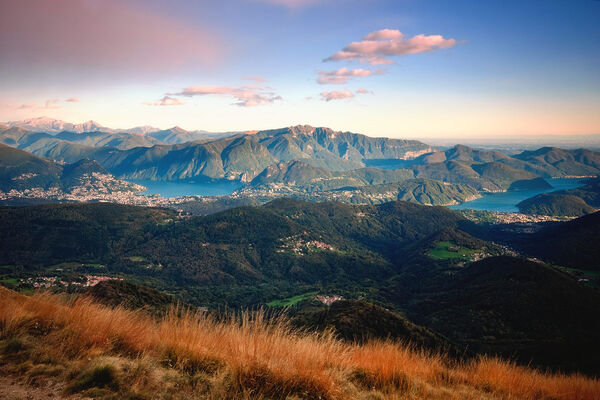
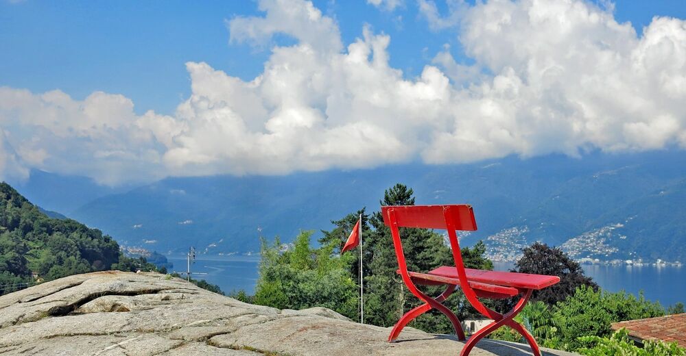
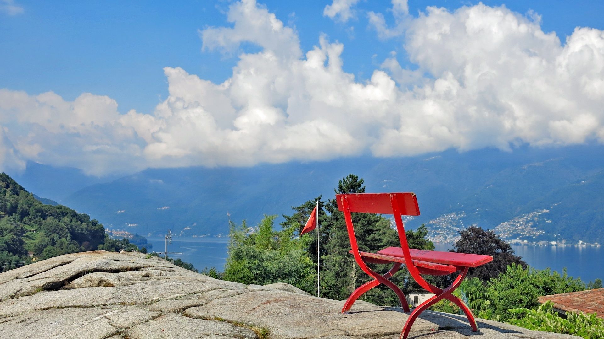
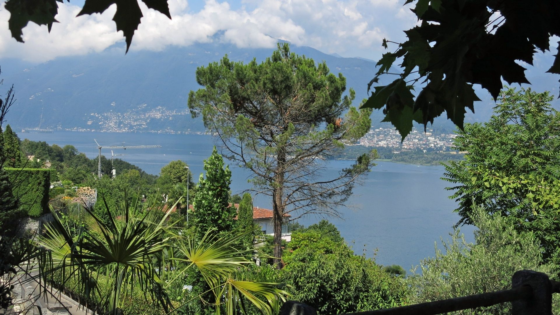
The second stage of this educational trail begins at the Autopostale PostBus stop in San Nazzaro on the cantonal road. The trail climbs up to Vairano and its lovely playground next to the Osteria Vairano. The park is overlooked by imposing polished and rounded rocks that offer beautiful views of the lake, the Maggia delta and the mountains behind. There are three on-site panels: one about the view, with information about the mountains, one about the Maggia delta, and a third showing the route of the educational trail.
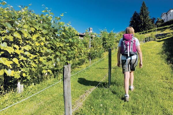
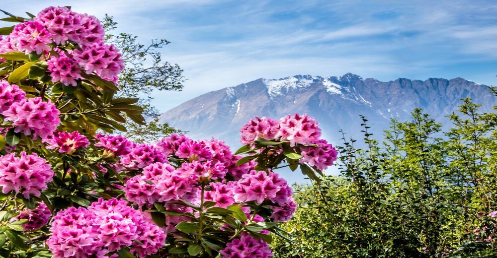
The trail passes through Vairano, leaves the road and continues along a path towards Piazzogna. Before crossing the cool Valle di Derbor and the attractive stone bridge, a small detour takes you to the prestigious Parco Botanico del Gambarogno, particularly worth visiting in spring when the camellias are in bloom.
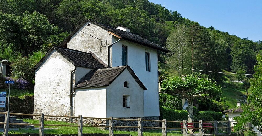
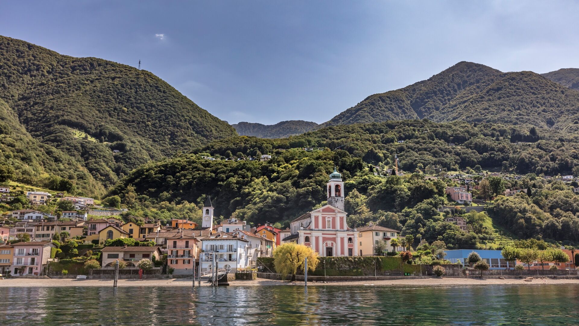
The educational trail continues towards Piazzogna, where there are two panels on the way into the town, one about the Stagno del Paron, an important nature reserve in the Piazzogna countryside, and another that illustrates the geology and typical terracing on which the villages of Vairano, Piazzogna and Fosano are built. The path crosses Piazzogna, passing next to the playground – home to an ancient oven and the lovely church of Sant’Antonio Abate – before continuing towards Fosano. After a section of cantonal road, take the small road that climbs to the right up to the oratory of Santa Maria degli Angeli di Fosano, where you will be able to admire the wonderful 16th-century frescoes painted by the workshop of Antonio da Tradate (ask for the keys in the tourist office in Vira). From Fosano, a mule track descends to the lake and public swimming area in Vira, offering an opportunity for a refreshing dip. The trail follows the lake, passing the boat jetty, beneath the 16th-century parish church of Santi Pietro e Paolo and the port – where you will find panels about the fish and other animals that live in the lake – before climbing back up towards the cantonal road. The town of Vira is worth a visit: with its typical lanes, small squares and the church dedicated to Santa Maria Maddalena. Vira regularly plays host to international outdoor sculpture exhibitions. The educational trail follows a stretch of the cantonal road, with a detour that leads to the station and ends at the Meschini municipal park in Magadino.
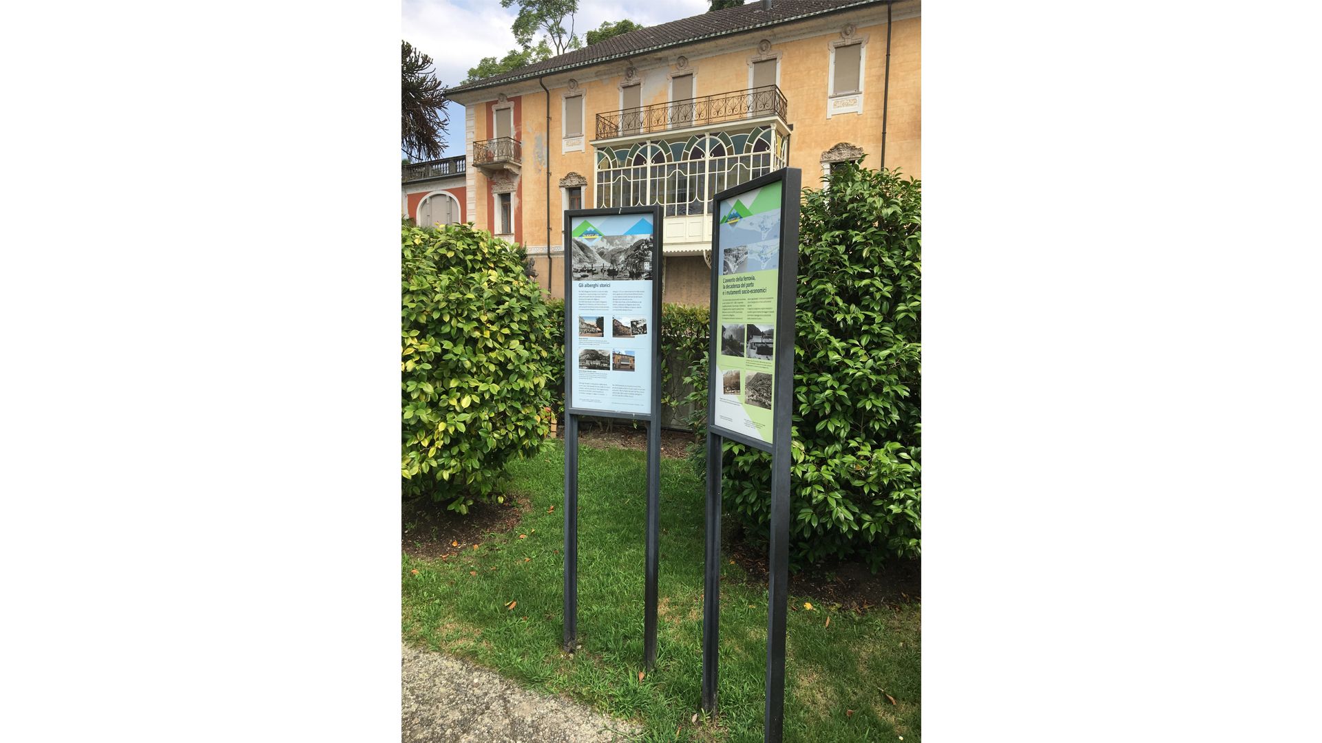
Magadino has a long and fascinating history linked to what was once a major commercial port in the Swiss basin of Lake Maggiore and the resulting wealth, which lasted until the second half of the 19th century. Three themed panels in the Meschini municipal park tell the story of the port, the large period hotels and the Grand Tour, until the advent of the railway and the consequent decay of the port and its commercial activities.
- Directions
-
Vairano-Piazzogna-Fosano-Vira (Gambarogno)-Magadino-Vira-Magadino
- Highest point
- 386 m
- Endpoint
-
Magadino
- Height profile
-
 © outdooractive.com
 - Equipment
-
Hiking daypack (approx. 20 liters) with rain cover
Comfortable and sturdy footwear
Adequate and durable outdoor clothing in multiple layers
Telescope sticks if necessary,
Sun and rain protection
Snacks and drinking water
First aid kit
Penknife
Mobile phone, headlight if necessary
Maps - Tips
-
Timings:
Taking your time to read the panels and stopping to admire the landscape, you should allow at least two and a half hours.Amenities:
There are grocery stores in San Nazzaro, Piazzogna, Vira and Magadino and at least one restaurant. The public swimming areas in San Nazzaro, Vira and Magadino are open during the summer months. - Public transportation
-
Autopostale PostBus stops in San Nazzaro, Vairano, Piazzogna, Fosano, Vira and Magadino.
Boat jetty in San Nazzaro, Vira and Magadino


- Author
-
The tour Educational trail - Between the Mountains and the Lake - Stage 2: San Nazzaro-Magadino is used by outdooractive.com provided.


General info
-
Lago Maggiore / Lombardei
745
-
Gambarogno Riviera
592
-
Gambarogno
252