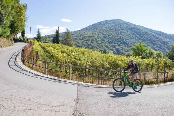

- Brief description
-
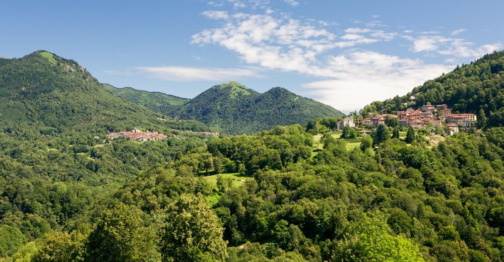
Procceding on hard ground (excluding the Tortoglio-Cassinelle section) from Miglieglia to Maglio del Malcantone, which is used as a museum and is located in an idyllic area with several waterfalls.
- Difficulty
-
medium
- Rating
-
- Starting point
-
Miglieglia
- Route
-
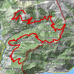
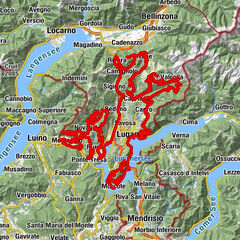
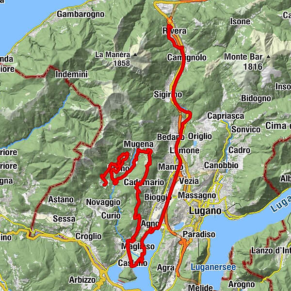
Ristorante NegrescoOsterio Grotto Fonti0.0 kmMiglieglia (717 m)0.0 kmCanavee0.1 kmTagnét1.8 kmLa Bolla2.3 kmFescoggia (837 m)4.1 kmVezio (782 m)4.6 kmLod5.1 kmAl Cioss5.5 kmBreno (799 m)7.2 kmOsteria Breno7.3 kmPiazzora7.3 kmVello11.0 kmVezio (782 m)13.5 kmMugena (815 m)13.6 kmPiano di Piem14.1 kmArosio (864 m)14.8 kmTèra d'Sóra15.0 kmArosio di Sotto15.0 kmGrotto Sgambada15.6 kmCademario (792 m)18.2 kmLisone19.2 kmQuadrella19.5 kmCimo (557 m)22.7 kmAl Portico23.6 kmVernate (546 m)23.7 kmGuasti24.7 kmNeggio (389 m)26.0 kmSanta Maria Annunciata26.1 kmDa Renato27.1 kmMagliasina27.1 kmChiesa di San Cristoforo27.4 kmCaslano (272 m)28.8 kmCaslano, battelli28.8 kmOsteria alla foce30.4 kmOsteria al lago31.3 kmMagliaso (287 m)31.6 kmCassina d'Agno32.6 kmAgno (280 m)33.4 kmOratorio Madonna delle Grazie35.3 kmLugano (273 m)36.8 kmCadempino (315 m)39.3 kmBedano (387 m)41.1 kmTorricella-Taverne (427 m)42.8 kmSigirino (470 m)46.0 kmMezzovico (460 m)46.8 kmCamignolo (449 m)48.6 kmBironico (465 m)49.8 kmSorencino50.2 kmCapidogno50.7 kmChiesa dello Spirito Santo50.9 kmOratorio di Santa Maria delle Grazie51.2 kmOsteria Grotto Leoni51.2 kmSoresina51.4 kmRivera (554 m)51.7 km
- Best season
-
JanFebMarAprMayJunJulAugSepOctNovDec
- Description
-
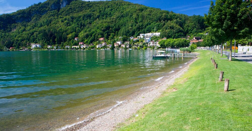
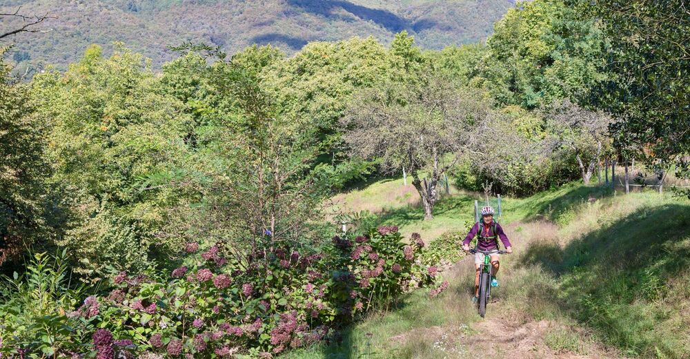
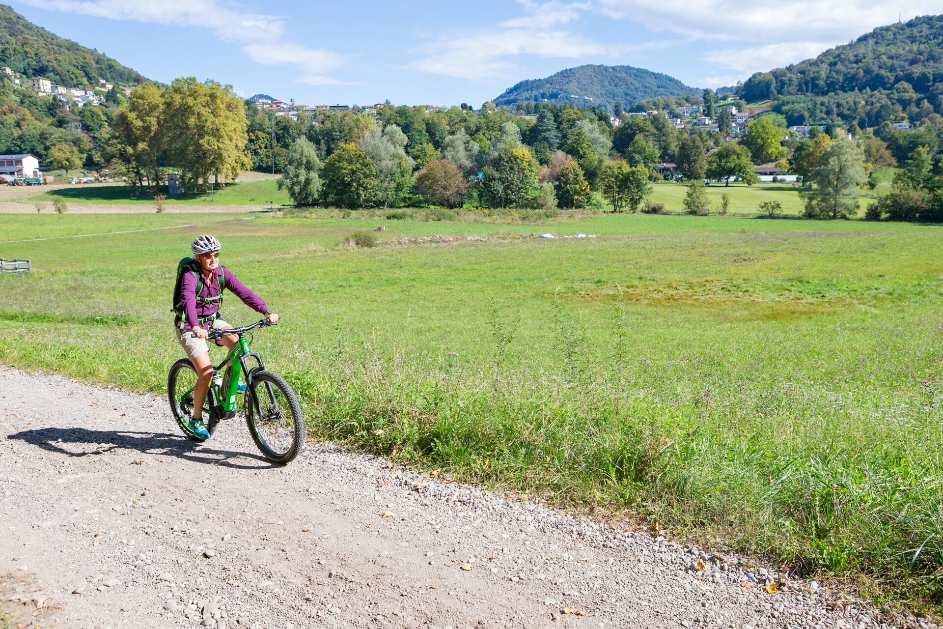
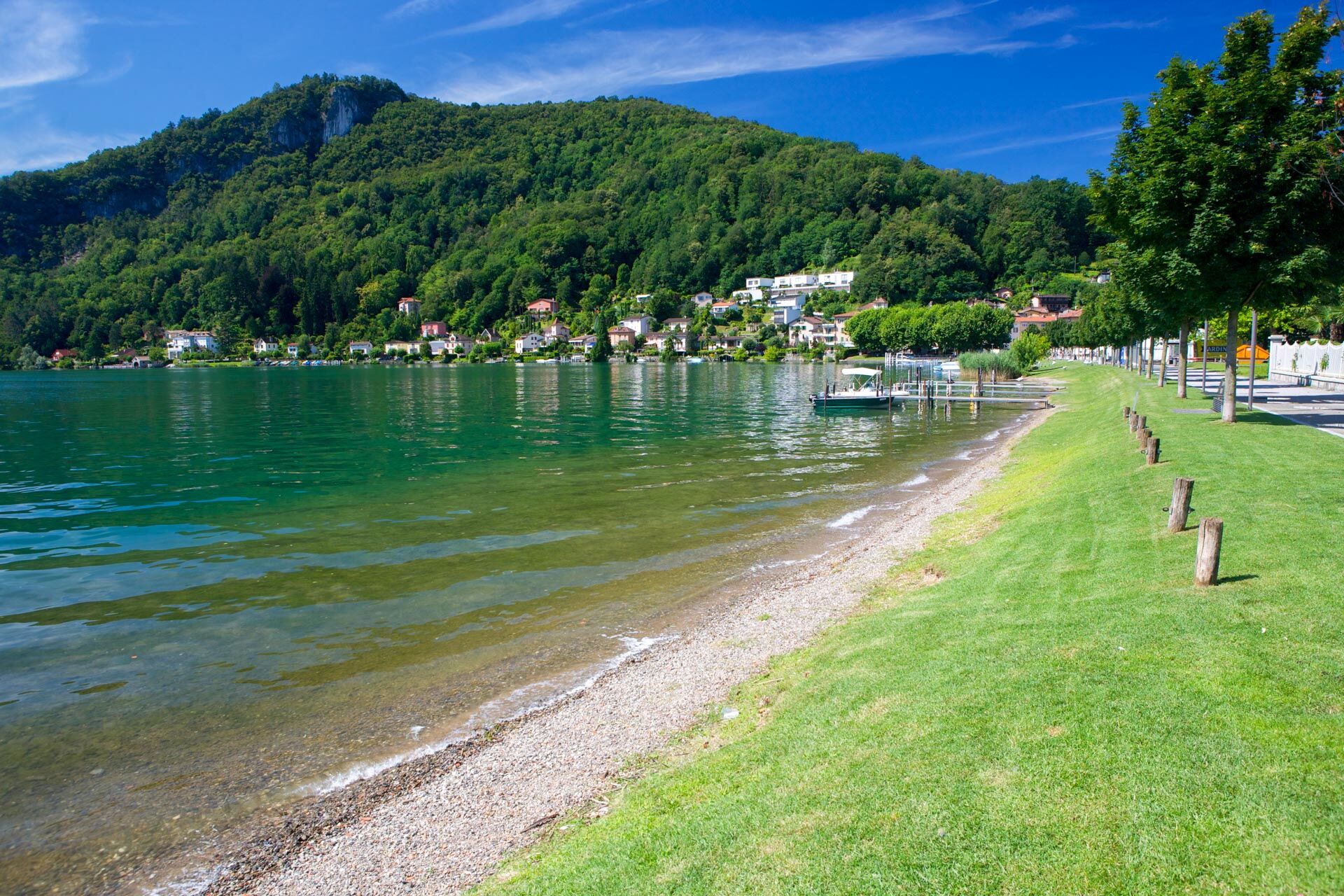
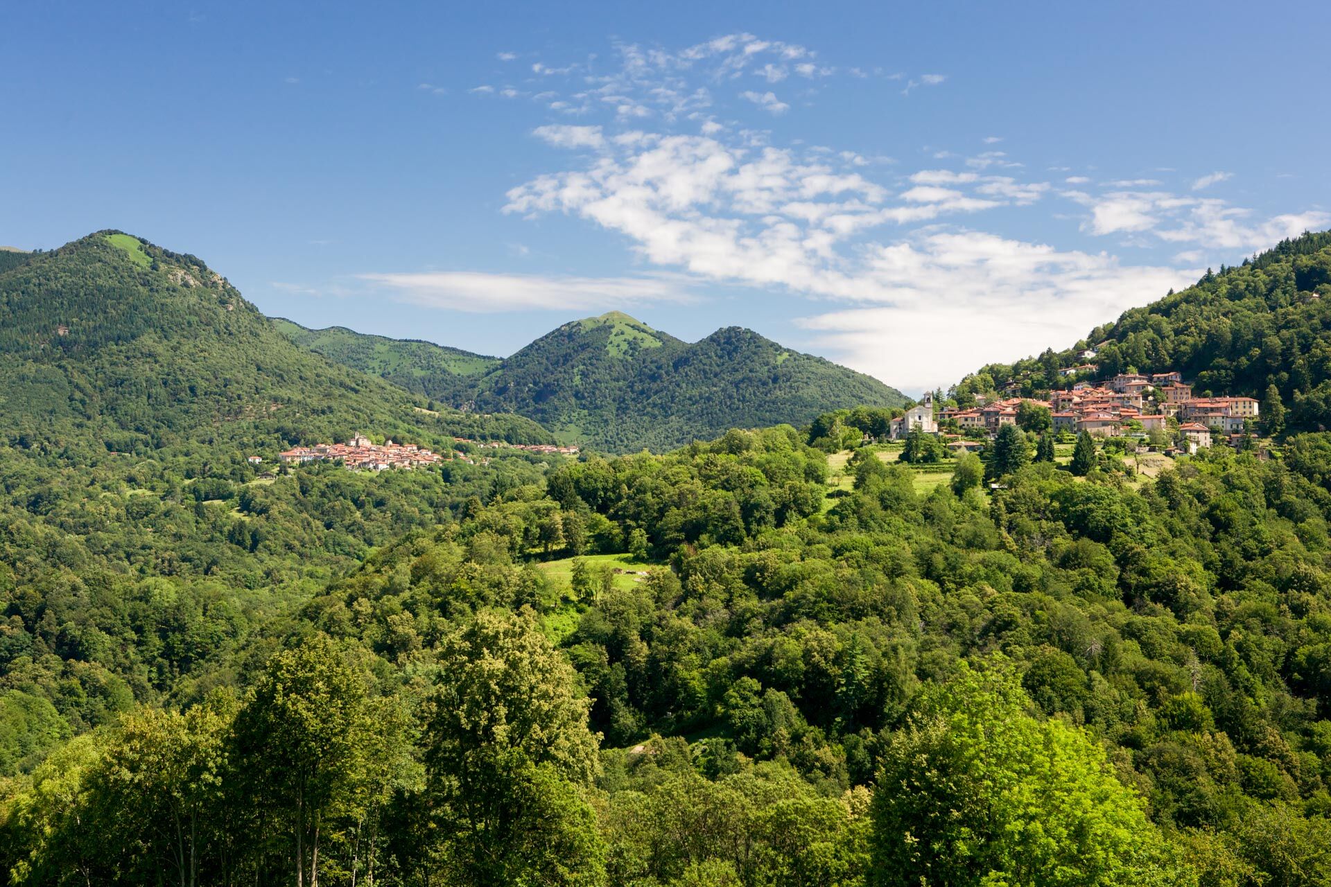
Continue along the Magliasina river on the dirt road and go up to Piano di Caroggio crossing fields. From Arosio enter the woods passing by Alpe Agra, alternating paved and unpaved roads. Leaving Cademario we continue through the wood between single-track and dirt road. Caslano is reached by crossing the characteristic village centre and lakeside promenade. We continue towards Agno partly along the lakeside promenade where it is possible to see some enchanting estuaries and the park of Agno. From here you go up to Rivera along the Vedeggio river, on unpaved and shady stretches. From Rivera you can leave for Monte Tamaro, with its attractions, a mountain that can also be climbed by mountain bike along a partial dirt road. To complete the stage and recover we suggest a stop at Splash & Spa.
- Highest point
- 952 m
- Endpoint
-
Rivera
- Height profile
-
 © outdooractive.com
 - Equipment
-
CHARGING STATIONS: Novaggio (previous stage) - Miglieglia (bring your own cables) Rivera: Monte Ceneri/Alpe Foppa (Monte Tamaro) link to map charging stations
- Tips
-
Sunrise/sunset overnight stay at the summit of Monte Tamaro at the Capanna Monte Tamaro (Alpe Foppa-Capanna Monte Tamaro: 45min / Capanna Monte Tamaro-Alpe Foppa: 10min)

-

-
AuthorThe tour Lugano e-MTB Tour - Stage 2: Miglieglia – Rivera is used by outdooractive.com provided.