


- Brief description
-
Discover the Nara amphitheatre, better known during the winter season but whose beauty is worth admiring all year round. This technical and adventurous route, immersed in nature and with magnificent views of the Adula massif, will be most enjoyed by more advanced mountain-bikers.
- Difficulty
-
difficult
- Rating
-
- Starting point
-
Acquarossa
- Route
-
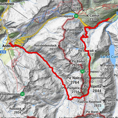
Acquarossa (430 m)Stazione0.0 kmComprovasco0.1 kmPrugiasco (621 m)1.2 kmChiesa di San Giorgio1.9 kmOratorio di Sant'Antonio da Padova2.4 kmCastro2.4 kmPonto Valentino (716 m)4.6 kmOsteria del Ponte4.8 kmSan Martino5.0 kmChiesa dei Santi Pietro e Paolo6.6 kmLargario (847 m)6.7 kmBlenio8.8 kmMezza Ghiariva14.0 kmPianezza15.2 kmPiede del Sasso15.9 kmPromesciallo16.1 kmAddi16.6 kmFopa17.3 kmChiesa18.4 kmCrènn19.2 kmCentrale21.1 kmLeontica21.1 kmChiesa di San Giovanni Battista21.3 kmRistorante Pizzeria Gianora21.3 kmPrugiasco (621 m)22.4 kmComprovasco23.7 kmStazione23.8 kmAcquarossa (430 m)23.8 km
- Best season
-
JanFebMarAprMayJunJulAugSepOctNovDec
- Description
-
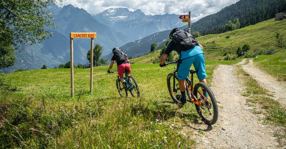
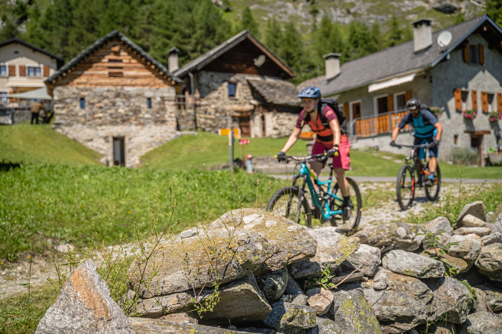
From the Acquarossa-Comprovasco bus station, cycle through a residential district to the right side of the Blenio Valley, entirely on asphalt roads. Up until the fork above Largario, the route follows the first stage of cycling trail no. 36, “Blenio-Lucomagno”, but then picks up the third stage of mountain bike trail no. 65, “Gottardo Bike”, up until Foppa. The steep climb can be made easier by using the Leontica-Cancorì chairlift. We recommend checking the lift opening hours in advance (www.nara.ch).
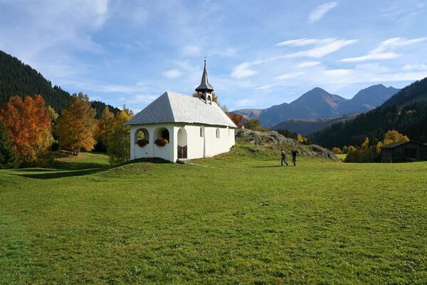
From the broad Nara basin, you will have spectacular views over the entire Blenio Valley and Adula glacier. The area gets a lot of sun but is protected from the wind, and is dotted with typical dwellings nestled harmoniously into the landscape.
From here, passing through Cancori – a connecting point for other mountain bike trails where you can also find the restaurant and the departure station for the second chairlift up to Pian Nara – you start your descent: the single track is surrounded by vegetation and takes cyclists to the picturesque village of Leontica, home to the Romanesque church of San Carlo di Negrentino. Here, you have the option of returning via the chairlift or continuing towards the valley floor. In the final part of the descent there are various technical sections and in some short, more exposed parts there are signs asking bikers to dismount and walk. Throughout the descent, there are multiple points at which bikers have to cross roads open to traffic (although they are not busy), so caution is required. - Highest point
- 1,565 m
- Endpoint
-
Acquarossa
- Height profile
-
 © outdooractive.com
 - Safety instructions
-
Wear protective gear Assess your capability accurately Give hikers right of way Stay on the trail Close fence gates.
An enjoyable tour includes the careful planning of the same. Please inform yourself in advance at the local information center about the route and weather conditions. Depending on the season and weather conditions, this route may be blocked or interrupted. - Tips
-
For mountain biking, follow the logo indicated on the red signposts: Cancorì Bike - n. 383


- Author
-
The tour Cancorì Bike (SwitzerlandMobility 383) is used by outdooractive.com provided.