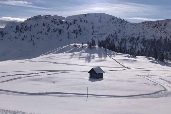
© 3 Zinnen Dolomites - H. Wisthaler

- Difficulty
-
medium
- Rating
-
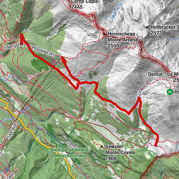
- Route
-
Klammbachalm1.2 kmNemes Alm5.5 kmKlammbachalm9.7 km
- Best season
-
AugSepOctNovDecJanFebMarAprMayJunJul
- Description
-
The hike starts directly at the mountain station Stiergarten and leads from there always slightly downhill to the Malga Klammbach and from there on over to the middle station of the cable car Stiergarten. There you can take the gondola back to the valley.
- Highest point
- 2,090 m
- Height profile
-
 © outdooractive.com

- Author
-
The tour Hike to the mountain pastures I is used by outdooractive.com provided.
GPS Downloads


Other tours in the regions