- Brief description
-
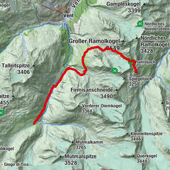
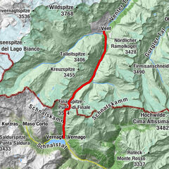
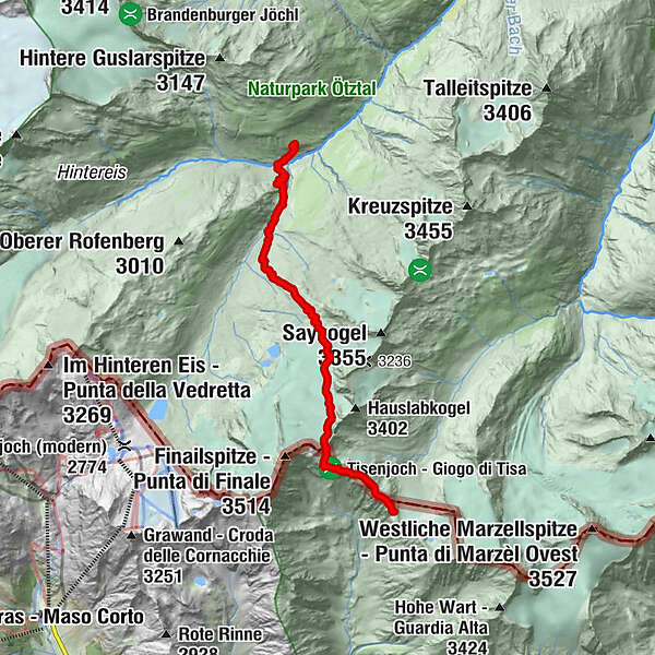
Similaunhütte (3.017 m) –> Hauslabjoch (3.283 m) –> Hochjoch-Hospiz (2.412 m)
- Difficulty
-
difficult
- Rating
-
- Starting point
-
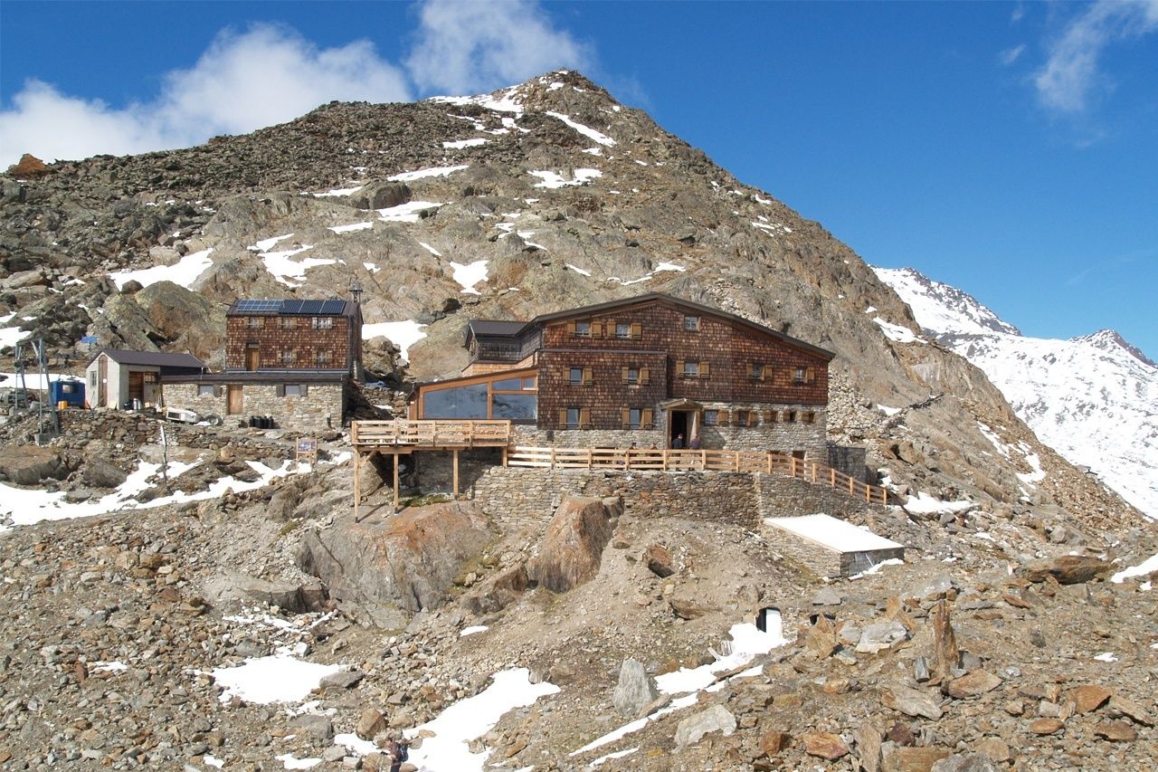
Similaunhütte
- Route
-
Similaunhütte0.0 kmgrotta1.4 kmHochjoch-Hospiz8.6 km
- Best season
-
JanFebMarAprMayJunJulAugSepOctNovDec
- Description
-
Route: Climbing, Path Requirements: Step safety, dizziness, condition, high alpine experience Mountain path black, intersection alpine route Difficulties: Passage over Hochjochferner (columns); Mountain guide recommended Equipment: normal hiking equipment, crampons, pimples according to circumstances; In any case rope; Climbing on the glacier Huts: Similaun Hut, Hochjoch-Hospiz Hut Acess / exit point: from Vent through the Niedertal to the Martin-Busch-Hütte and further to the Similaunhütte (about 4.5 h ascent, approx. 3.75 h descent)
from Vent through the Rofental to Hochjoch-Hospiz (about 2,5 h ascent, about 2 h descent) - Directions
-
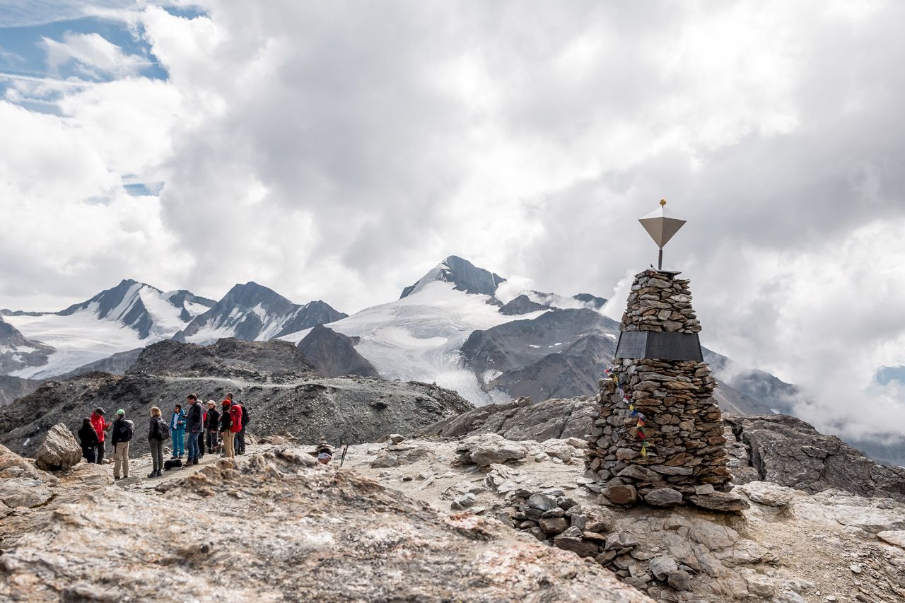
ÖTZI - THE ICEMAN AND GLACIER MUMMY
From the refuge hut a trail climbs steeply up a wide ridge which later turns into a boulder ridge with fixed cables for assistance. The last section of the trail to Tisenjoch saddle in South Tyrol takes you through flatter terrain. Ötzi‘s finding place at Tisenjoch is among the highlights of this stage. Once at Tisenjoch, the trail climbs for another 100 meters to Hauslabjoch before descending northwards on the Hochjochferner glacier fields. Leaving behind the glacier at approx. 3000 m, the trail joins the path coming down from Saykogel. Continue to Rofental, descending moderately at the beginning and steeply at the end. Cross Hochjochbach brook at 2500 m. In steep switchbacks down to the brook of Hintereisferner. Another challenging 100 altitude meters before you reach Hochjoch-Hospiz. - Highest point
- 3,267 m
- Endpoint
-
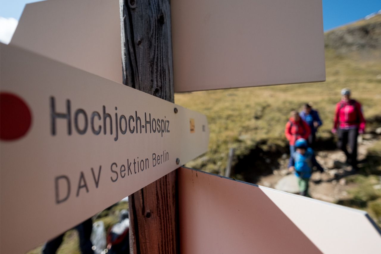
Hochjoch-Hospiz
- Height profile
-
 © outdooractive.com
 - Equipment
-
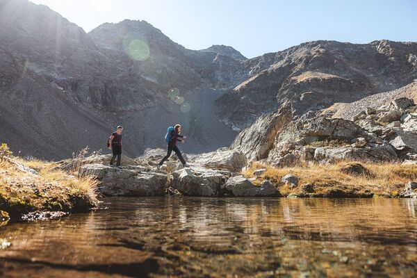
It is recommended to wear hiking equipment such as breathable and weather-adapted outdoor clothing, ankle-high mountain boots, wind, rain and sun protection, cap and possibly gloves. It is also important to have enough food, as well as a first-aid package, a cell phone and a hiking map.
- Additional information
- Directions
- Public transportation
- Parking
-
In Vent the following parking facilities are available:
In front of the village and at the valley station of the chairlift (fee required)


- Author
-
The tour Ötztal Trek Stage 13 is used by outdooractive.com provided.


General info
-
Vinschgau
1290
-
Schnalstal
595
-
Vernagt am See
110