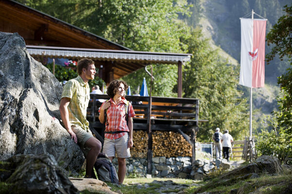

- Brief description
-
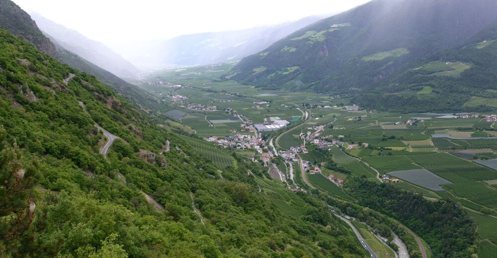
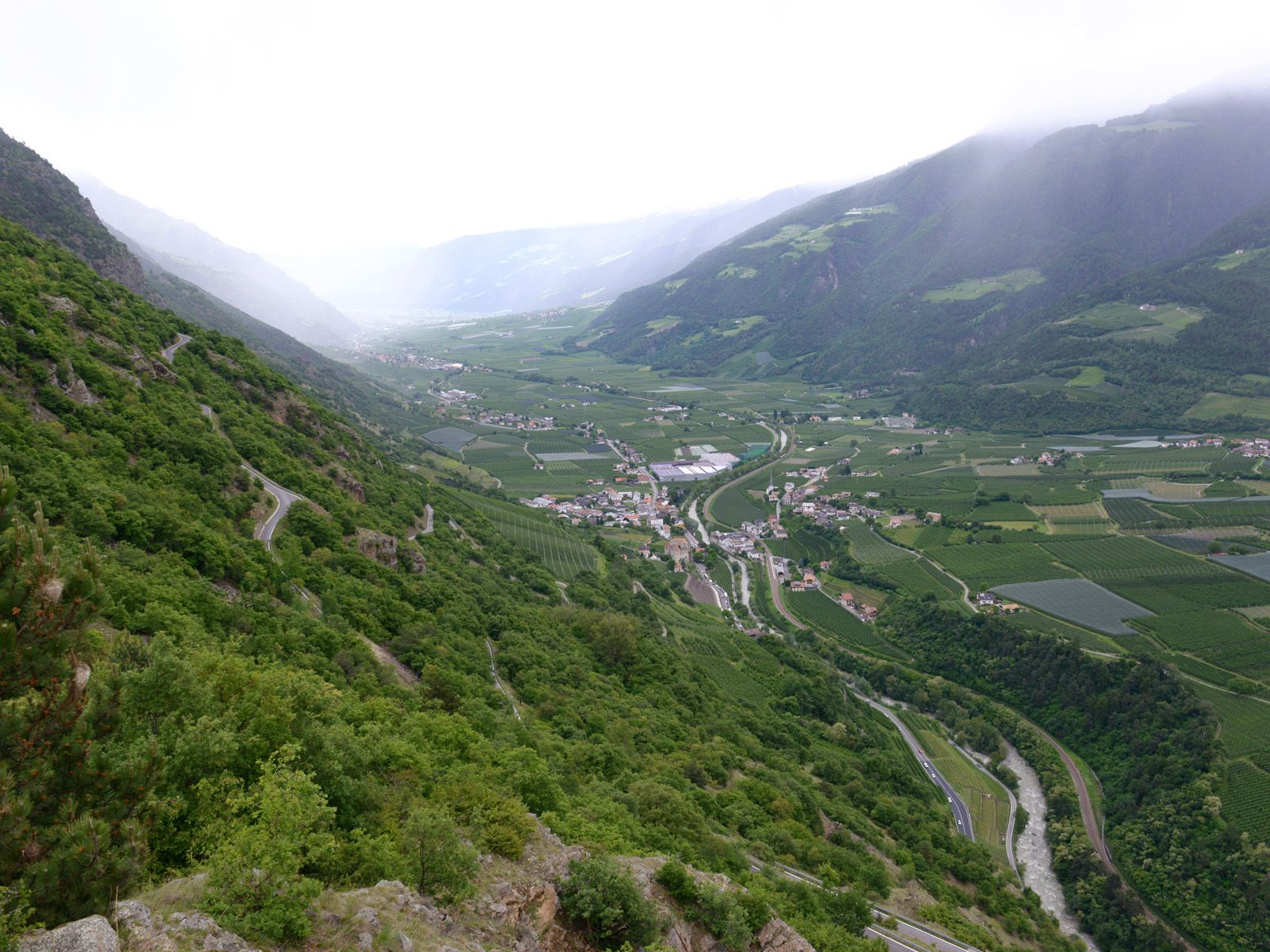
The landscape of this special hike on Sonnenberg mountain is dominated by sparsely forested inner-Alpine dry vegetation. This hike provides insights into this unique vegetation zone as well as exceptional views of a mudslide/scree area characteristic of the Vinschgau valley.
- Difficulty
-
medium
- Rating
-
- Starting point
-
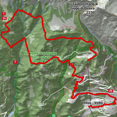
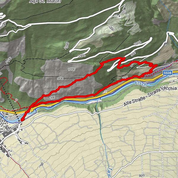
Laces/Latsch, the Latscher bridge
- Route
-
Hofschank Pfraum3.2 km
- Best season
-
JanFebMarAprMayJunJulAugSepOctNovDec
- Description
-
Monte Sole in Italian and Sonnenberg in German both mean “sun mountain”, and the name says it all. The landscape here is characterised by centuries of slash-and-burn land clearances as well as special vegetation that has adapted to this unique microclimate. The dryness stems from the valley’s inner-Alpine and east-west orientation. Because of the steepness of the terrain, direct and long-range views of the valley are possible. It’s like looking down from a plane!
- Directions
-
The hike begins in Laces/Latsch at the Latscher bridge. Trail no. 7 leads uphill. Continue uphill and after about 100 metres take an immediate left onto the “Sunnenweg” trail no. 8A. Pass by the Neolithic engraved stones near the Untergrüblplatte plate until you come to a non-signposted junction. Head left for a bit until you reach the Hochpfraum viewing platform. Hike north across a flat section at the mouth of the valley and then continue on trail no. 8 (descending towards Castelbello/Kastelbell) until you arrive at the rustic, yet simple Pfraum farmhouse inn. It’s a short descent from here onto the Latschander Waalweg canal trail which leads back to the starting point.
- Highest point
- 954 m
- Endpoint
-
Starting point
- Height profile
-
 © outdooractive.com
 - Tips
-
Enjoy a panoramic hike in an area that is, for many reasons, unique in the Vinschgau valley.
- Author
-
The tour Sonnenberg mountain, a clear view of the Vinschgau valley is used by outdooractive.com provided.
General info
-
Vinschgau
1278
-
Kastelbell - Tschars
578
-
Tschars
86