- Difficulty
-
easy
- Rating
-
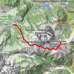
- Route
-
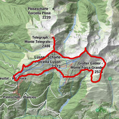
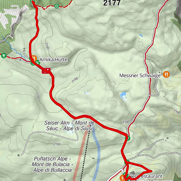
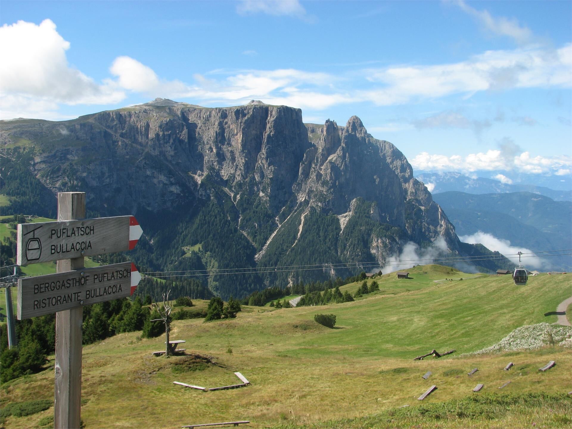
Bergrestaurant Puflatsch RistoranteSpielplatz Puflatsch Bergstation0.0 kmBulacia - Engelrast0.1 kmGollerspitz (2,099 m)2.1 kmArnika Hütte2.5 kmSpielplatz Puflatsch Bergstation3.8 kmBergrestaurant Puflatsch Ristorante3.8 km
- Best season
-
JanFebMarAprMayJunJulAugSepOctNovDec
- Description
-
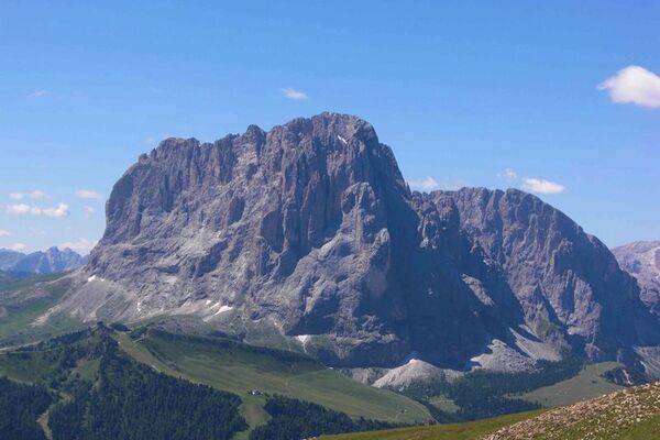
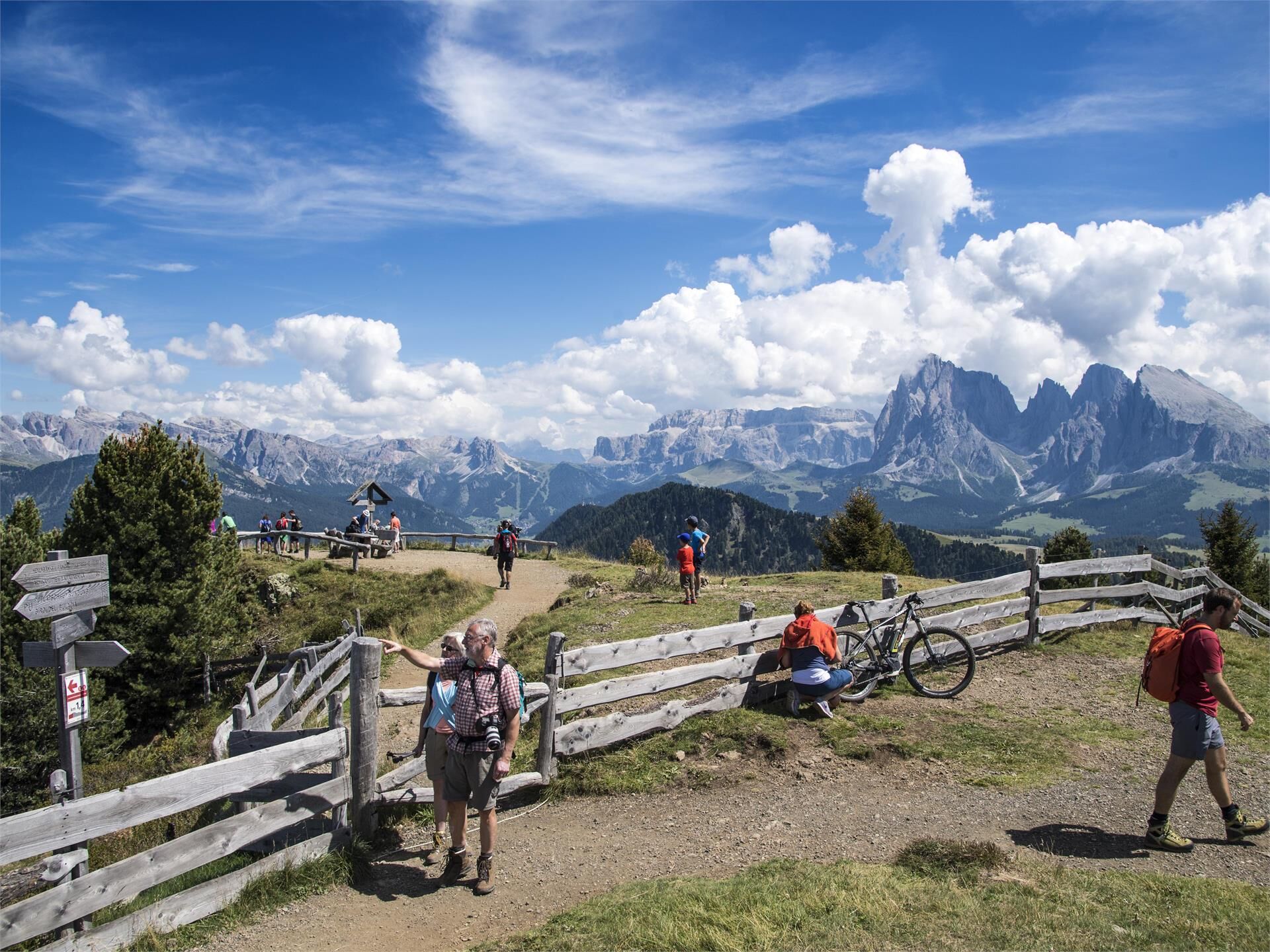
With the extraordinary profile of the Schlern mountain, the Seiser Alm is one of the most fascinating landscapes in the Dolomites and one of the most famous hiking and winter sports areas in Europe. Numerous legends and sagas about witches and other creatures that are said to have afflicted this area give the largest high alpine pasture in Europe a magical touch.
- Directions
-
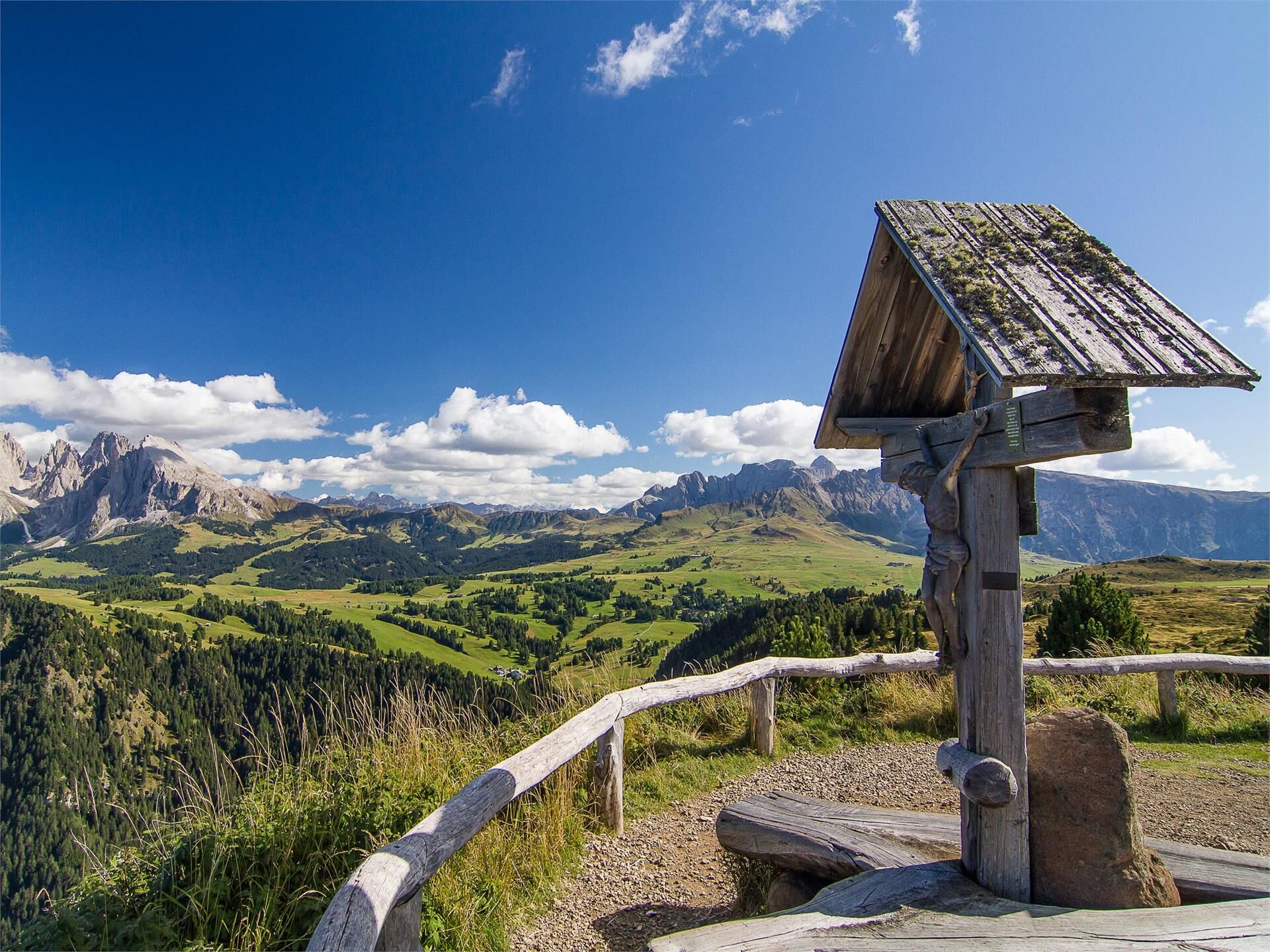
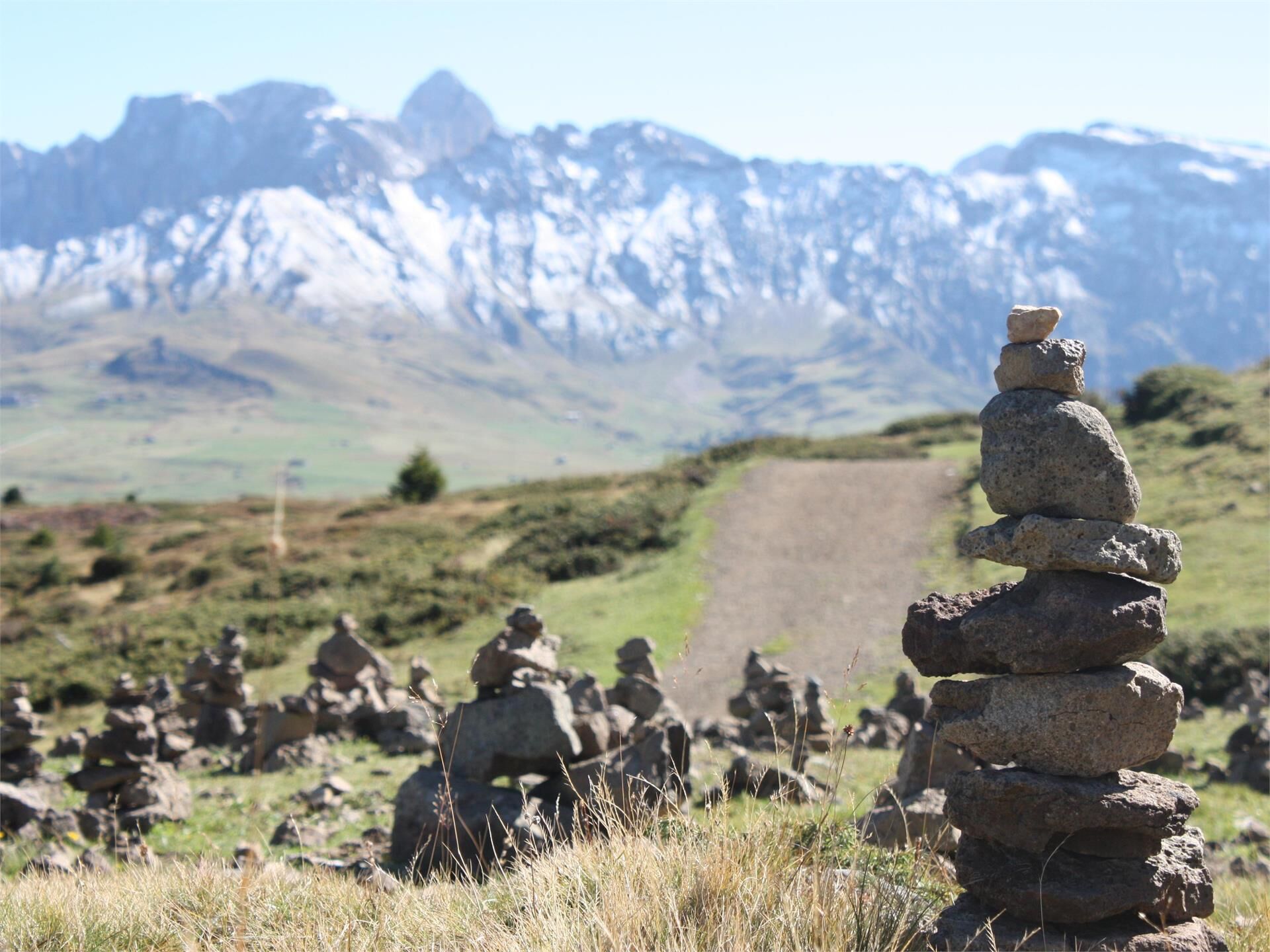
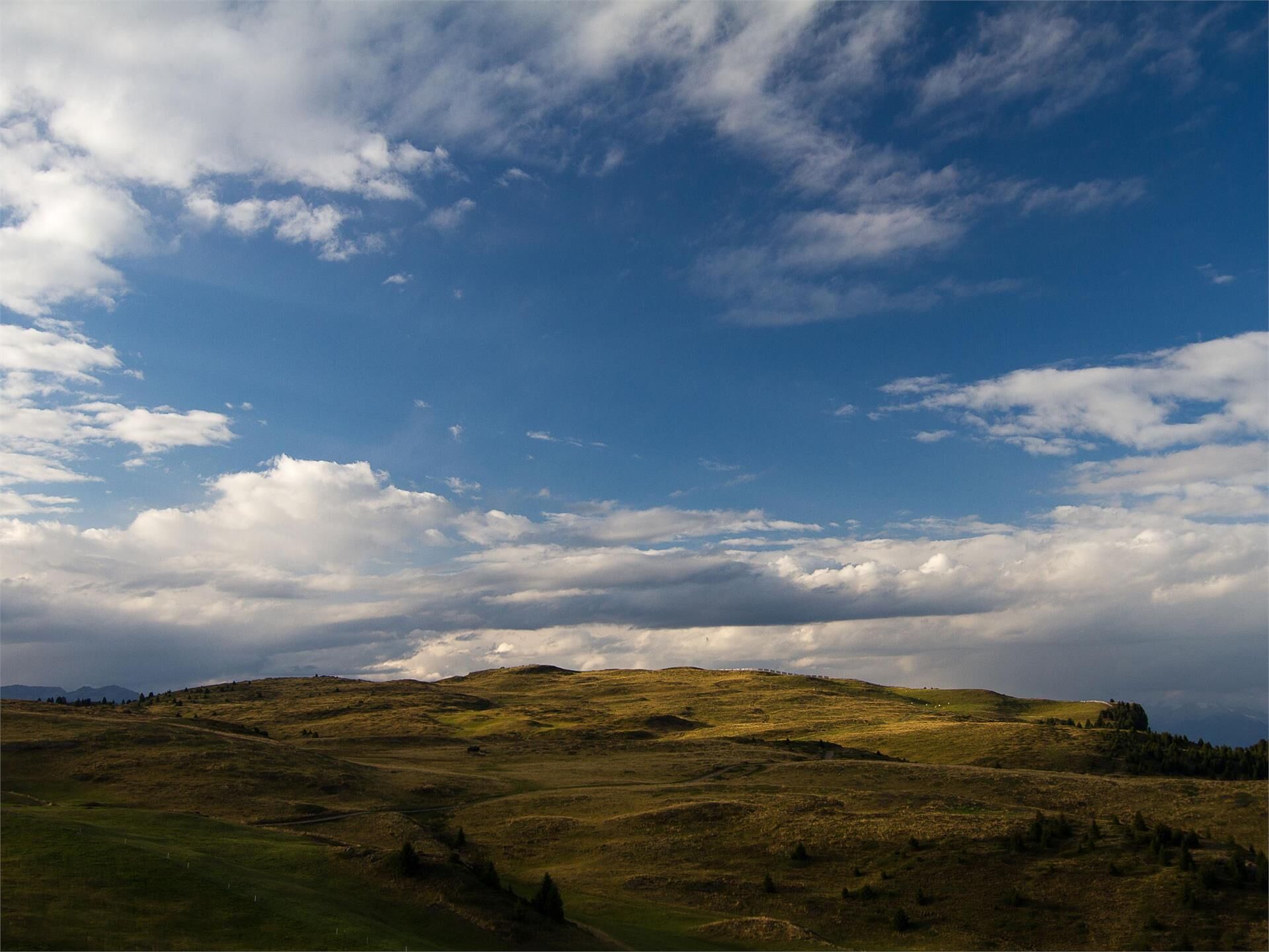
From Seis am Schlern we reach the starting point Compatsch on the Seiser Alm with the cable car. Close to the mountain station we follow a small gravel path down to the Telemix Puflatsch (gradient approx. 15%). In the middle of wide mountain meadows we enjoy the peace and quiet of the largest alpine pasture in Europe. The Seiser Alm is a true paradise for mountain lovers both in winter and in summer. The barrierfree Telemix Puflatsch takes us up to 2119 m. Close to the top station is the Engelsrast, a wonderful viewpoint with some wooden benches that allow a 360° panoramic view of the Schlern, the Langkofel and the Plattkofel mountains. Over the gentle hills of Puflatsch we follow a wide footpath with gravel surface up to an extensive plateau (gradient approx. 10%). After a rather short flat stretch, the descent to the Arnika hut (2062 m) finally begins. In this section, the path winds over some smaller crests and then shows a marked gradient in some places. From the Arnika hut a small steep footpath leads over a bumpy ascent (wooden gate) to a wooden cross (2077 m). From this hill with benches and tables we enjoy a wonderful view of Kastelruth, as well as Lajen and its surroundings. The return takes place on the same way.
Please check the opening hours of the huts and restaurants: www.seiseralm.it/huts
- Highest point
- 2,116 m
- Height profile
-
 © outdooractive.com
 - Arrival
-
From Bozen/Bolzano Nord on the state road for a few kilometres in the direction of the Brenner until Blumau, where we turn off in the direction of the Völs am Schlern/Seiser Alm. Via a winding road we reach Seis am Schlern. A regular shuttle service and a modern barrierfree cable car bring day guests from Seis am Schlern up to the Seiser Alm (Compatsch). The Seiser Alm can only be reached to a limited extent by car (except for guests with disabilities and hotel guests on the Seiser Alm).
- Public transportation
-
The starting point of the tour or the sight is easily and comfortably accessible by public transport.:
Bus n. 1 from Seis am Schlern, n. 2 from Völs am Schlern, n. 3 from Kastelruth or by bus line no. 170 from Bozen Bus Station or Brixen Bus Station to the bus stop of the Seis-Seiser Alm Aerial Cableway at Seis.
- Parking
-
Valley station of the Seiser Alm cable car in Seis am Schlern.
- Author
-
The tour Tour on the Puflatsch/Seiser Alm is used by outdooractive.com provided.


-
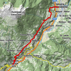
Brixen und Umgebung
1973
-
Seiser Alm
1138
-
Seiser Alm
483