© Tourismusverein Latsch-Martelltal / Schwienbacher Roman
© Tourismusverein Latsch-Martell/Schwienbacher R.
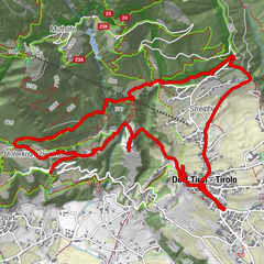
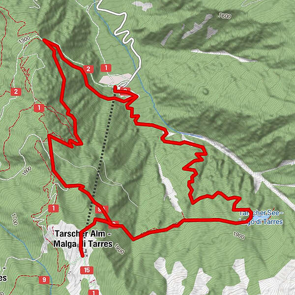
Tour data
9.62km
1,167
- 1,922m
856hm
849hm
02:30h
- Brief description
-
Ein toller Ausflug für große und kleien Abenteurer mit herrrlichen Aussichten und Panoramen.
- Difficulty
-
medium
- Rating
-
- Route
-
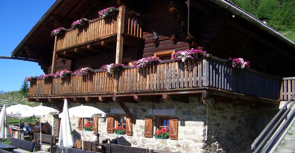
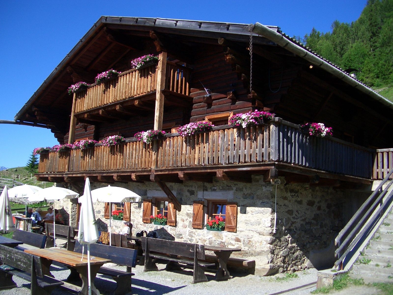
Tarscher Alm4.9 kmBerggasthof Tarscher Alm5.0 km
- Best season
-
JanFebMarAprMayJunJulAugSepOctNovDec
- Description
-
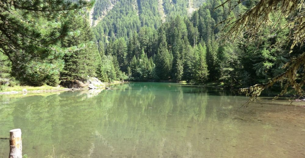
From the chair lift car park on steep paths to the beautiful lake and the quaint Malga di Tarres back to the starting point.
- Highest point
- 1,922 m

GPS Downloads


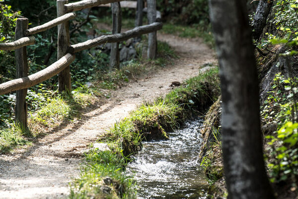
Trail conditions
Asphalt
Gravel
Meadow
Forest
Rock
Exposed
Other tours in the regions
-
Vinschgau
1287
-
Kastelbell - Tschars
583
-
Tarsch
94