© Evi Amhof
Tour data
27.31km
1,146
- 1,998m
1,021hm
1,065hm
06:49h

- Difficulty
-
medium
- Rating
-
- Route
-
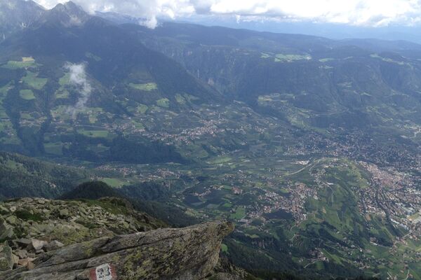
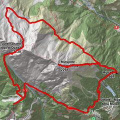
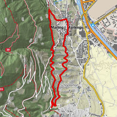
Mölten (1,133 m)0.1 kmKircheben3.1 kmSattler Hütte6.1 kmSattler Hütte10.6 kmMöltner Kaser14.4 kmStoanerne Mandln (2,003 m)17.4 kmMöltner Kaser19.1 kmMöltner Joch (1,733 m)21.3 kmMölten (1,133 m)27.1 km
- Best season
-
JanFebMarAprMayJunJulAugSepOctNovDec
- Description
-
From the village of Mölten (1143 m), walk about 300 m along the sidewalk in the direction of Schlaneid. Finally, you come to a junction with path no. 13, which leads to the right. No. 13 leads to the Hohlweg junction, from where you walk along No. 15 to Kircheben (Kircheben can also be reached by car). If you stay on path no. 15, you reach the Sattlerhütte (1606 m) and then the Möltner Kaser (1766 m). From here you hike along paths no. 28 and later no. 23A to the Stoanernen Mandln (2003 m).
- Highest point
- 1,998 m


GPS Downloads


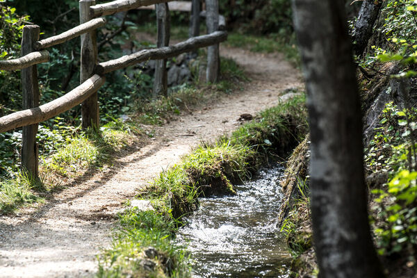
Trail conditions
Asphalt
Gravel
Meadow
Forest
Rock
Exposed
Other tours in the regions
-
Meraner Land
1727
-
Meran und Umgebung
758
-
Mölten
206