- Rating
-
- Route
-
Flading (1,482 m)Saxner6.0 kmEnzian6.7 kmBergrestaurant Rinneralm7.0 kmKalcheralm8.6 km
- Best season
-
JanFebMarAprMayJunJulAugSepOctNovDec
- Description
-
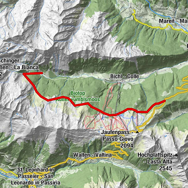
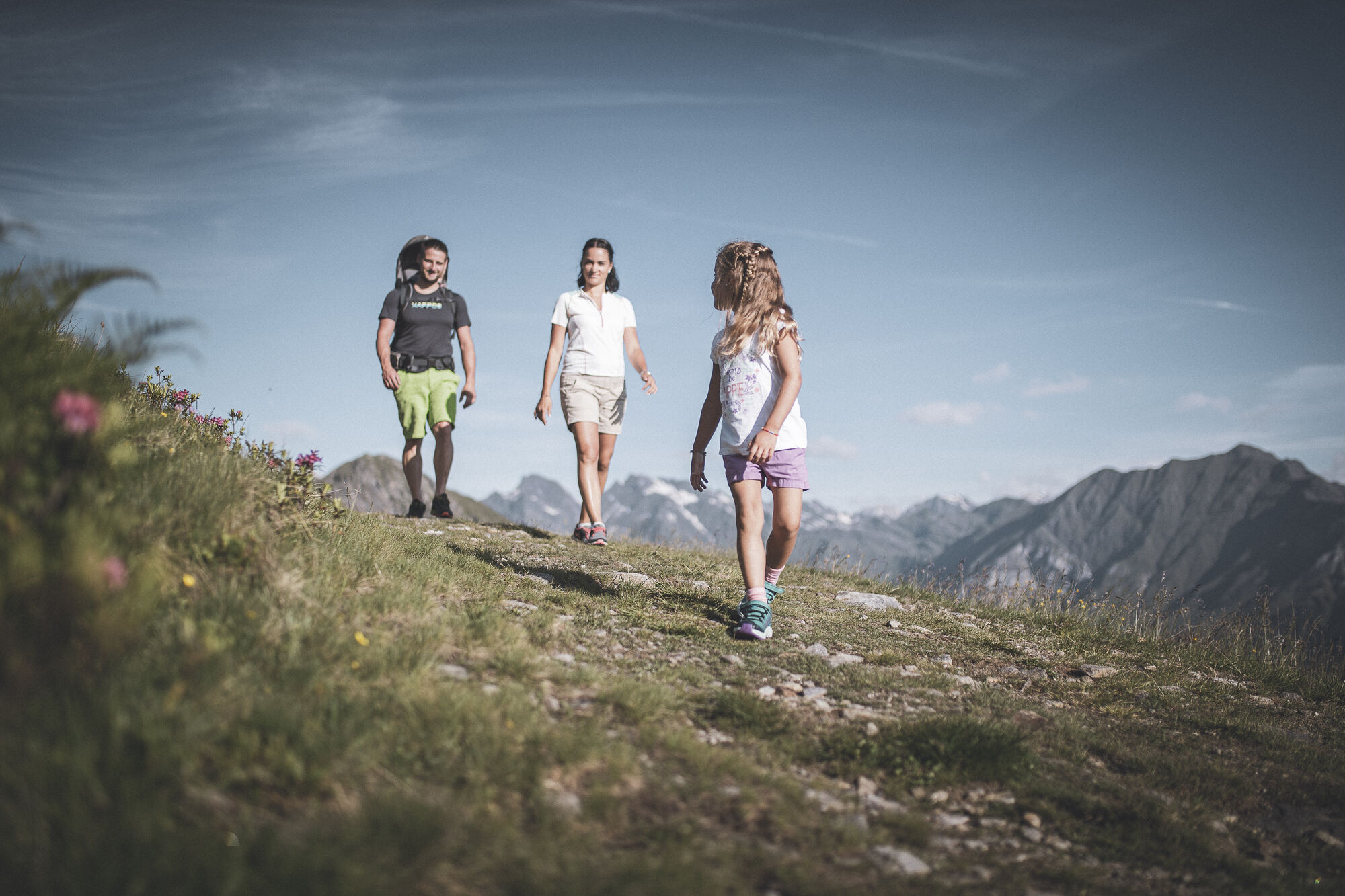
The pasture trail Ratschings/Racines starts at the road "Jaufenpassstraße" and leads through fantastic landscape past seven mountain pastures. First you reach the mountain pasture Kalcheralm, from there it goes further to the Rinneralm and to the Wasserfalleralm. Along the already existing walking trail it proceeds towards the Saxnerhütte. The next mountain pastures are the Äussere and the Innere Wumblsalm. The trail ends finally at the Klammalm on 1925 meters of altitude, from which you can reach Flading on the marked path no. 12. The pasture trail can be easily manageable in a one-day excursion and is ideal for families.
It is also possible to take the cable car Ratschings-Jaufen to the mountain station, from where you can start the pasture trail.
Difficulty level: easy
Total time: 4-5 h - Highest point
- 1,889 m
- Tips
-
It is recommended to use public transport or park a second car in Flading to return to the starting point.
- Directions
-
Coming from Sterzing/Vipiteno, follow the signs in the direction of the Jaufenpass/Passo Giovo as far as the "Kalcheralm" car park.
- Public transportation
-
Outward journey: In summer the regular bus 317 runs twice daily from Sterzing to the Jaufenpass.
Return: From the Larchhof bus stop (from Flading approx. 3 km out of the valley), bus line 319 takes you to Sterzing.
- Parking
-
Parking lot "Kalcheralm" at the Jaufenpass road


Trail conditions
-
Meraner Land
1722
-
Passeiertal
797
-
Bichl / Ratschingstal
98