
- Brief description
-
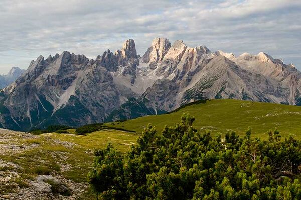
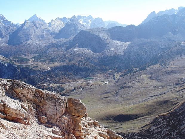
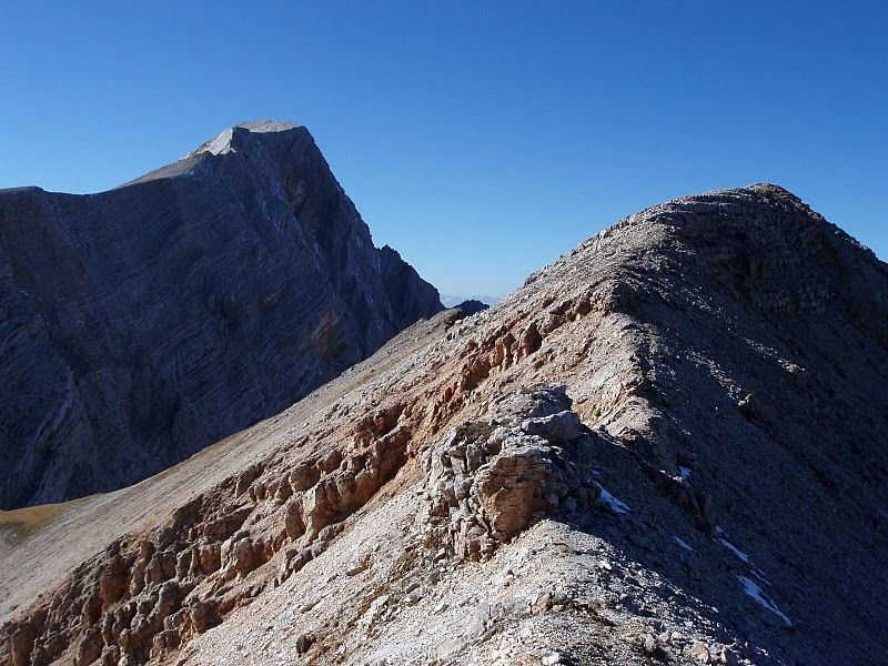
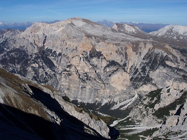
Leichte- aber doch nicht zu unterschätzende Bergtour, die alle Charakteristiken einer Dolomiten-Bergtour aufweist. Die Aussicht vom Gipfel, der im Schatten des mächtigen Neunerkofles steht, lohnt sich allemal.
- Route
-
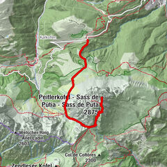
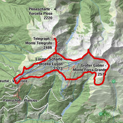
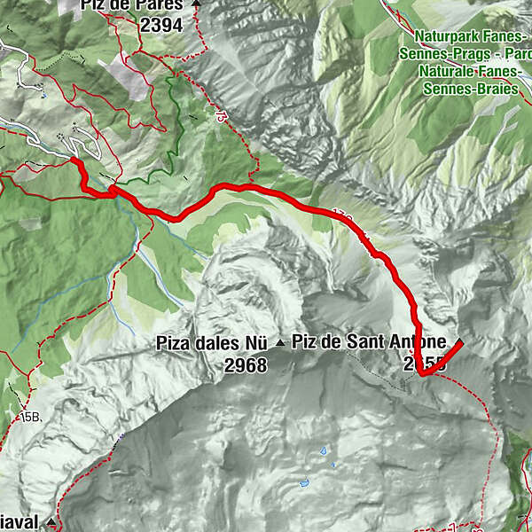
Antoniusspitze (2,655 m)5.7 km
- Highest point
- 2,644 m
- Height profile
-
 © outdooractive.com
- Author
-
The tour Piz de St. Antone is used by outdooractive.com provided.
GPS Downloads


Other tours in the regions
-
Dolomiten
1803
-
Kronplatz - Dolomiten
797
-
Wanderdorf La Val
256