- Difficulty
-
easy
- Rating
-
- Route
-
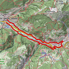
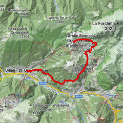
Wolkenstein in GrödenLarciunei0.0 kmMickey Mouse0.1 kmNives0.1 kmBiancaneve0.1 kmLa Vila0.3 kmVal1.0 kmSylvesterkapelle1.6 kmLangental2.2 kmLangental6.2 kmSylvesterkapelle7.0 kmVal7.8 kmLa Vila8.4 kmMickey Mouse8.5 kmLarciunei8.5 kmNives8.6 kmBiancaneve8.6 kmWolkenstein in Gröden8.7 km
- Best season
-
JanFebMarAprMayJunJulAugSepOctNovDec
- Description
-
From Selva, we run to the parking area in Vallunga and from there past the path no. 14 to the St. Sylvester chapel, and then on through a forest of larches and Swiss stone pines, where we slowly gain elevation and can enjoy the unique panorama of the surrounding Puez-Geisler Nature Park. The valley ends in a large, flat meadow (Pra da Rì), which serves as the turning point of our route.
Shorter Variant: We run to the St. Sylvester chapel and then turn left there at the way of the cross (path no. 26), follow this and then run over Daunei back to Selva.
- Highest point
- 1,793 m
- Height profile
-
 © outdooractive.com
 - Directions
-
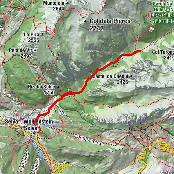
Val Gardena is located in South Tyrol, right in the heart of the Dolomites. The valley can be reached using the Brenner Motorway (A 22), exit Chiusa. Following the well-marked roads, you should reach Ortisei in about 20 minutes, then S. Cristina and Selva Val Gardena.

- Author
-
The tour UNESCO Wold Heritage-Ronda is used by outdooractive.com provided.