- Difficulty
-
medium
- Rating
-
- Route
-
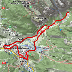
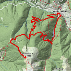
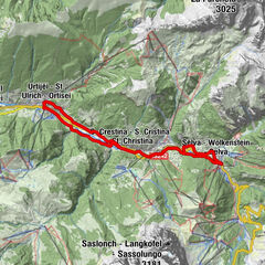
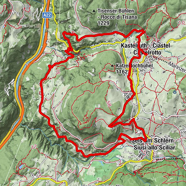
Kastelruth0.1 kmTisens2.0 kmLafogl6.4 kmSt. Oswald (Kastelruth)6.7 kmSt. Oswald6.7 kmTschötscher Hof6.8 kmGasthaus St. Oswald7.0 kmHofschank Campedèl9.2 kmSt. Vigil9.7 kmHofschank zur Malenger Mühle9.8 kmSeis am Schlern11.8 kmTelfen14.6 kmKastelruth16.3 km
- Best season
-
JanFebMarAprMayJunJulAugSepOctNovDec
- Description
-
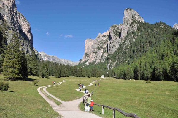
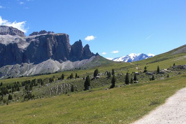
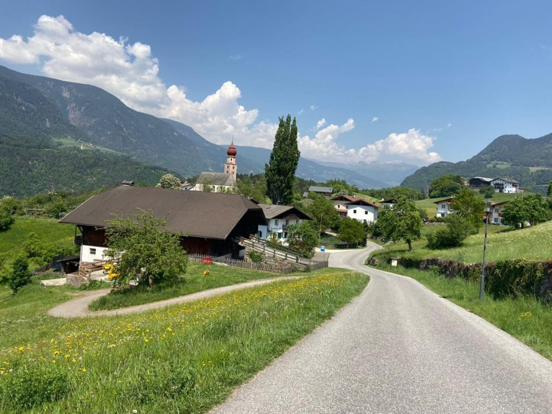
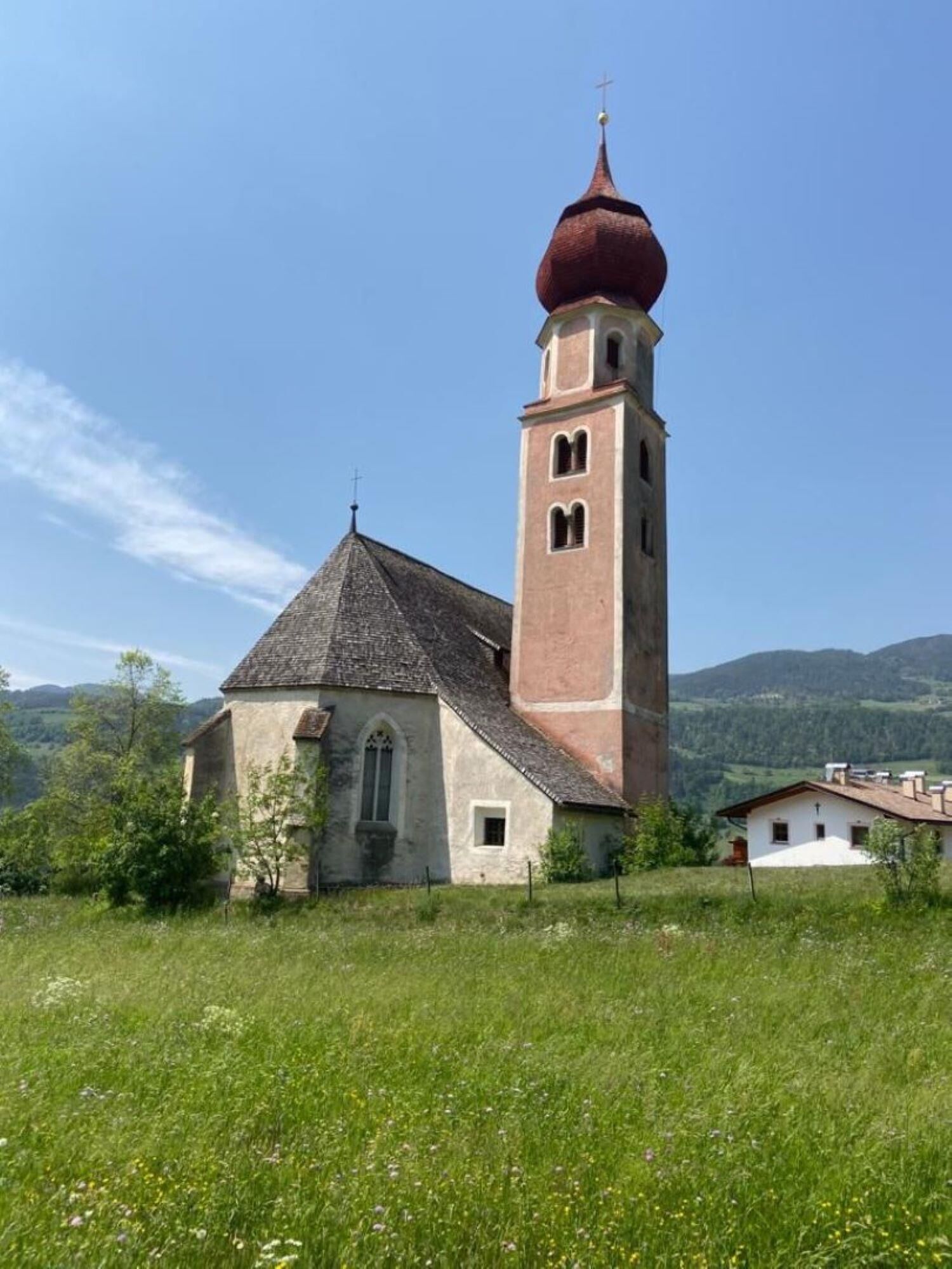
This route from Kastelruth village centre to Seis am Schlern passes through the picturesque hamlets of Tisens and St. Oswald with their small chapels, the fascinating natural spectacle of the “Ice Hole” wind tunnels, the ruins of Aichach and the Malenger water mill. The route leads, in part, along ancient roads with tracks that have been worn down over the centuries and offers beautiful views over the Eisacktal, the Ritten and, naturally, the Schlern and its neighbouring mountains.
ATTENTION: the section from km 3.2 to km 4.2 is very steep (downhill) and narrow! - Directions
-
ATTENTION: the section from km 3.2 to km 4.2 is very steep (downhill) and narrow!
The St. Oswald tour begins in the direction of the Tisenser Bühlen hill, passes Tisens and then turns towards the south-west. There is a brief technically-challenging stretch here, we suggest to push your bike. This part is very difficult and only advised for advanced bikers. After this part the tour continues comfortably and on a section of the main road, followed shortly afterwards by a small, quiet downhill trail towards St Oswald. As you pass by old farms and orchards, the view sweeps over the Val Isarco which rises up before you. Keep to the same road which, after a while, runs uphill. With the Schlern now in view, continue onwards past the golf course, until you come to Siusi allo Sciliar. The tour then leads along small, remote trails, past Telfen and on to Kastelruth.
Here you find the PDF for download
- Highest point
- 1,129 m
- Height profile
-
 © outdooractive.com
 - Equipment
-
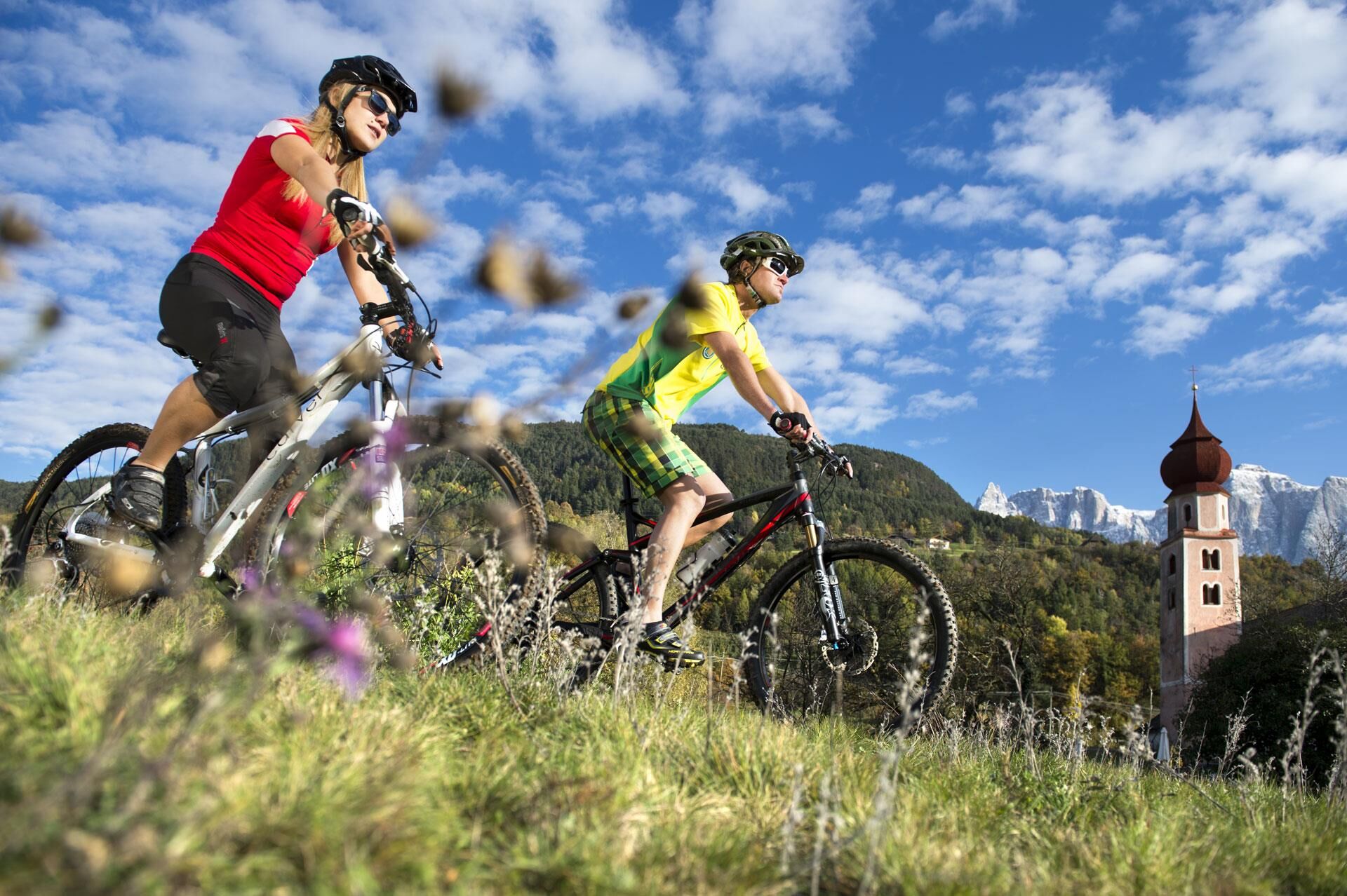
Bike helmet
Good shoes
Sun glasses
Bike wear
MTB Gloves
Drink and snacks
Protective pads - Safety instructions
-
RULES OF CONDUCT:
· On the mountain you greet each other, this is tradition and this applies to bikers and hikers
· Give way to pedestrians
· Respect signage and stay on the trail/path
· Close pasture gates and don’t scare/stroke animals
· Always ride in a way that allowes you to stop in case of emergency (ride with foresight)
· Use your brakes smoothly in order not to ruin trails, paths and gravel roads
- Author
-
The tour 259 St. Oswald-Tour is used by outdooractive.com provided.


-
Brixen und Umgebung
226
-
Seiser Alm
123
-
Kastelruth
36