- Brief description
-
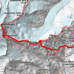
BRANDENBURGER HAUS -> WEISSKUGEL
- Difficulty
-
difficult
- Rating
-
- Starting point
-
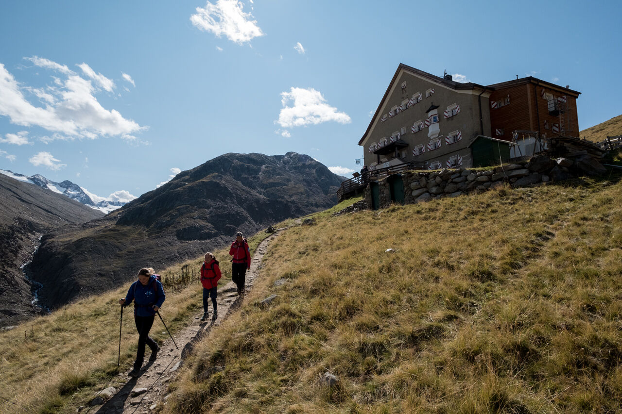
Brandenburger Haus
- Route
-
Brandenburger Haus8.2 km
- Best season
-
JanFebMarAprMayJunJulAugSepOctNovDec
- Description
-
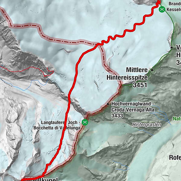
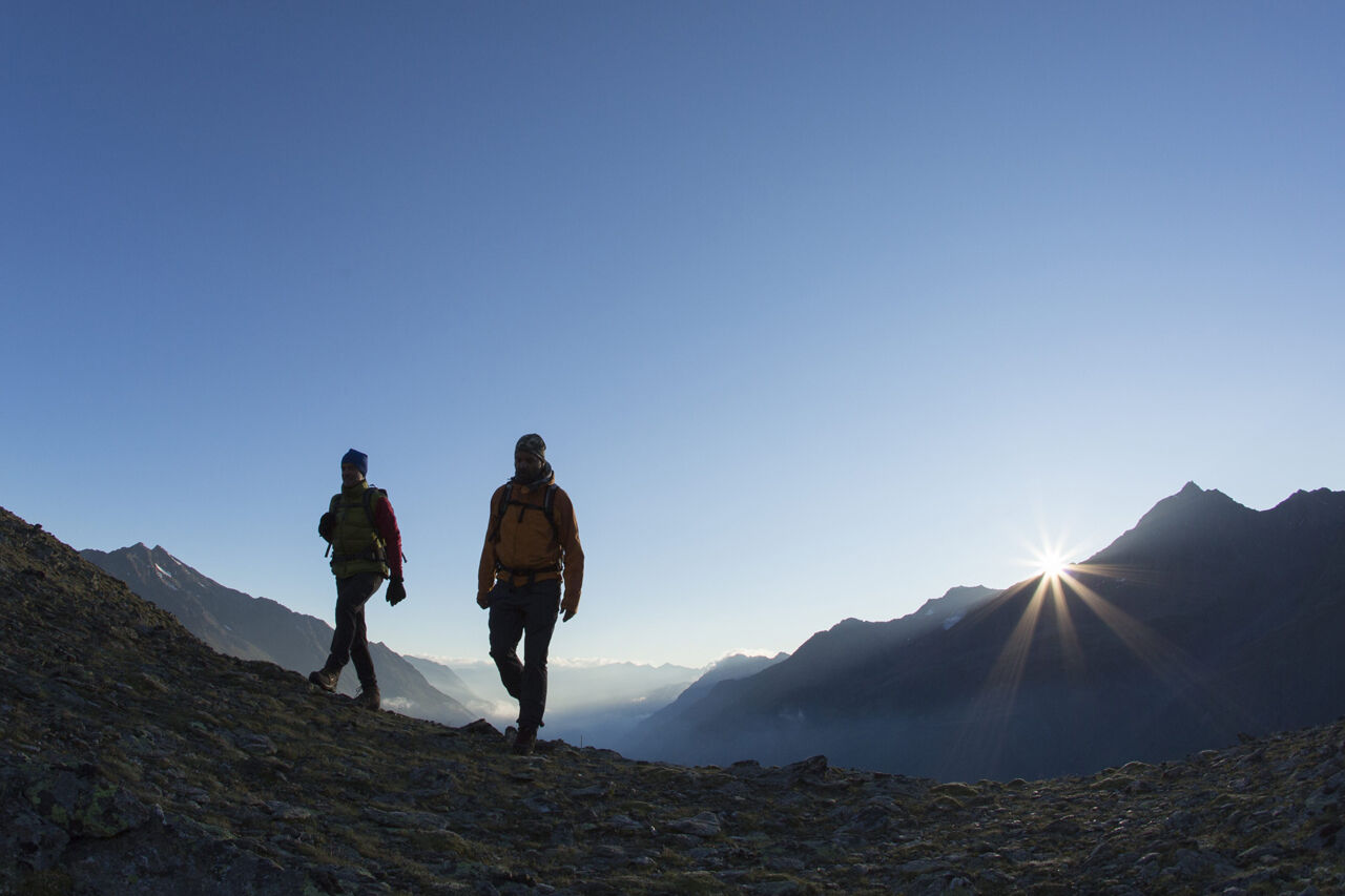
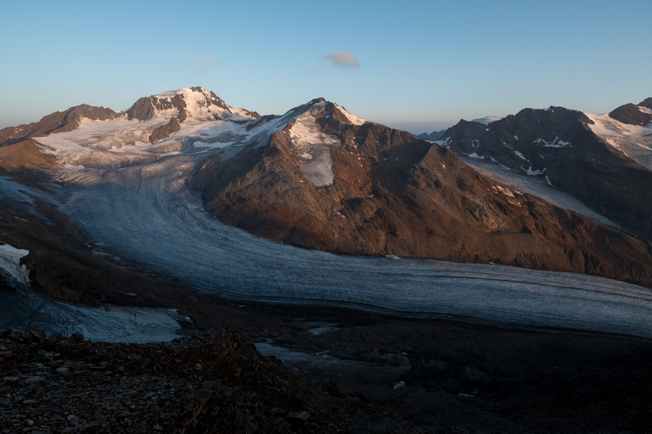
From the Brandenburger House first in a south-westerly direction and later in the south to the Vernaglwand (point: 3,065 m). On partly insured walk down to the Langtaufernferner. Over this glacier-splendid foothill to the Weißkugeljoch and from here steeply over the Felsgrat directly to the summit.Nice is the climb over the magnificent north ridge (sometimes by icing difficult).Easiest descent: over the Hintereisjoch and the Hintereisferner directly to the Hochjoch Hospiz in about 4 h.
- Directions
-
From the Brandenburger House first in a south-westerly direction and later in the south to the Vernaglwand (point: 3,065 m). On partly insured walk down to the Langtaufernferner. Over this glacier-splendid foothill to the Weißkugeljoch and from here steeply over the Felsgrat directly to the summit.Nice is the climb over the magnificent north ridge (sometimes by icing difficult).Easiest descent: over the Hintereisjoch and the Hintereisferner directly to the Hochjoch Hospiz in about 4 h.
- Highest point
- 3,725 m
- Endpoint
-
Weisskugel
- Height profile
-
 © outdooractive.com
 - Equipment
-
Appropriate equipment such as breathable suitable outdoor clothes for the weather, ankle-high walking boots, wind-, rain- & sun protection, hat, possibly gloves, is for all hikes and tours necessary. Please bring a first-aid box, a mobile phone, a walking map and if there is no hut on the way a snack and enough to drink.
- Safety instructions
-
For high alpine experienced mountaineers that are free from vertigo & surefooted. Excellent physical condition, extensive mountain experience, alpine climbing gear, safety- and orientation guide, good weather conditions recommended. Please pay attention to the current weather report: www.oetztal.com
- Tips
-
Reservation of the hut sleeping places necessary!
- Additional information
-
More details about hiking In Ötztal: www.oetztal.com/wandern
- Directions
-
The car drive to the Ötztal valley. Situated in Tirol, the Ötztal valley set off in southerly direction and is the longest side valley in the Eastern Alps. The journey with the car leads you through the Inntal valley to the entrance of the valley and further on through the valley. Among the toll motorways you can also use the country roads. A route planner will show you the easiest and most convenient way: https://www.google.at/maps
- Public transportation
- Parking
-
The following parking options are available in the mountaineering village Vent
- In summertime in front of the village (parking machine, only coins or EC card) and at the chairlift (at the ticket office of the mountain railways)
- In wintertime only at the chairlift
Cost: € 5,00 per day/car

- Author
-
The tour Weisskugel is used by outdooractive.com provided.
GPS Downloads


General info
A lot of view
Other tours in the regions
-
Vinschgau
130
-
Schnalstal
99
-
Kaunertaler Gletscher
41