- Brief description
-
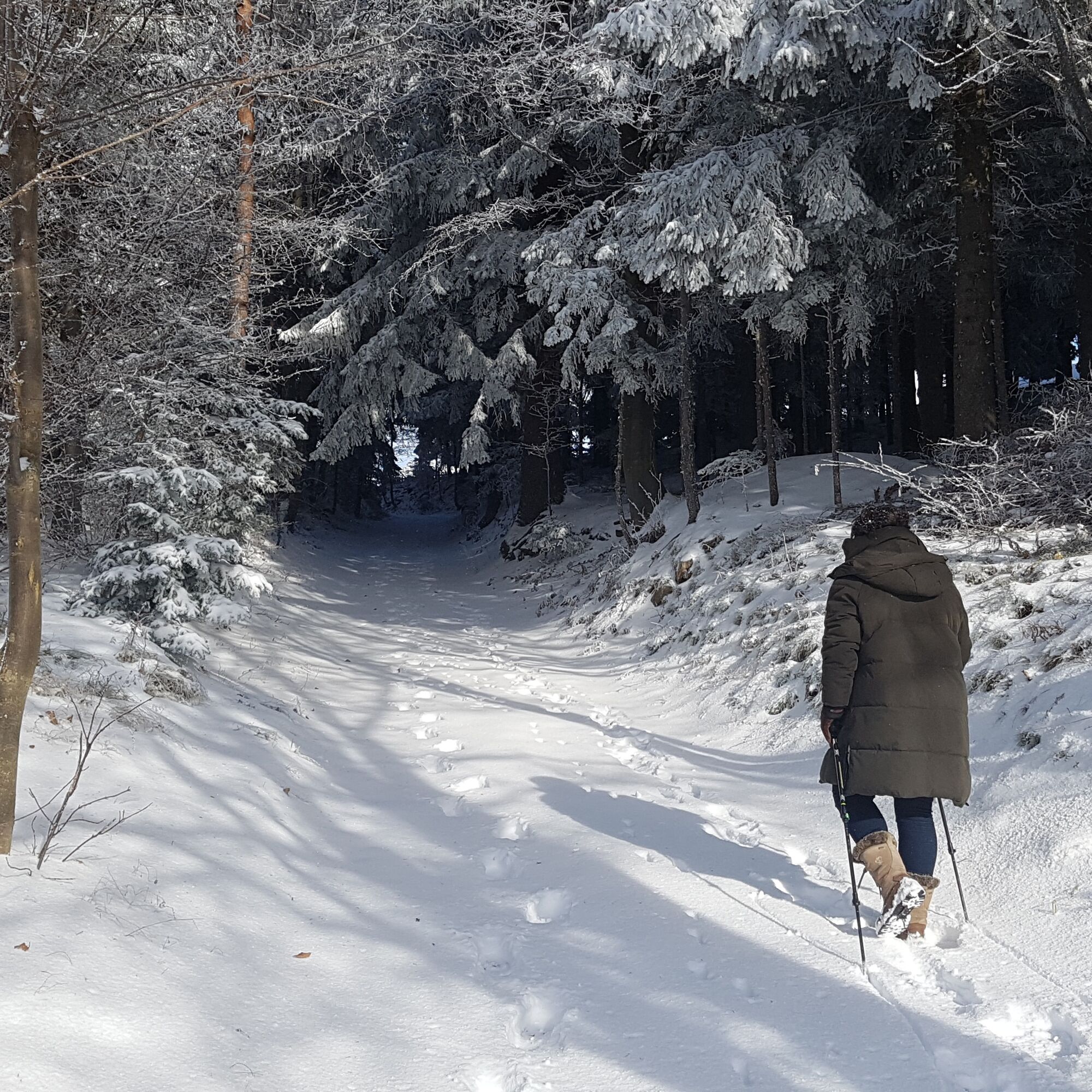
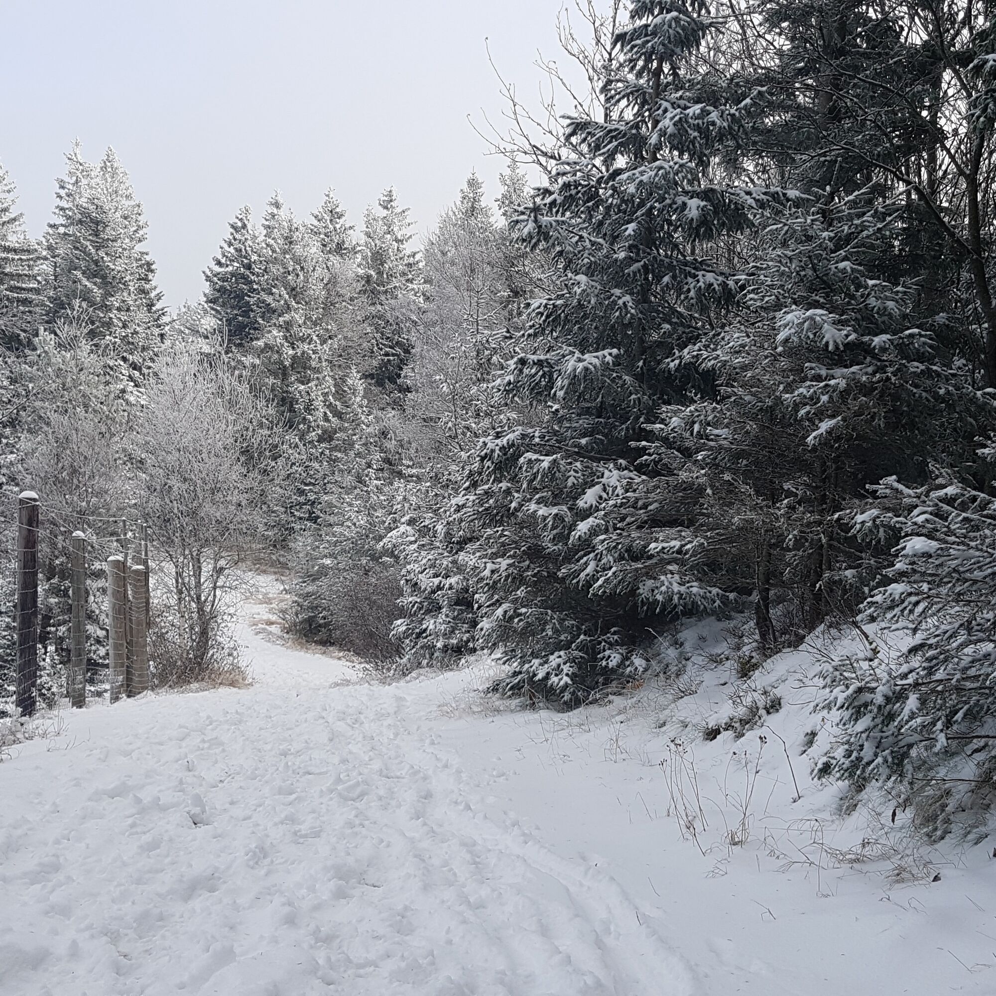
Hiking in the Pöllau Valley Nature Park is usually possible all year round with good hiking boots (make sure they are slip-resistant!) - even on this winter hike on the Masenberg...
- Difficulty
-
easy
- Rating
-
- Starting point
-
Pöllauberg, Masenberg protective hats
- Route
-
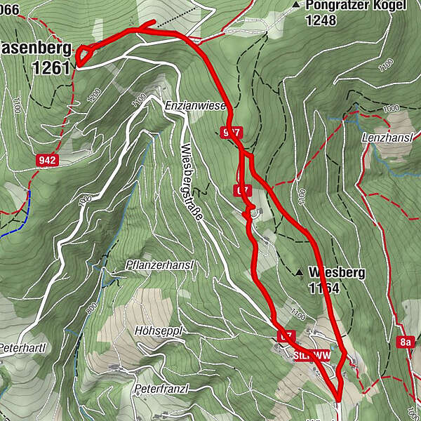
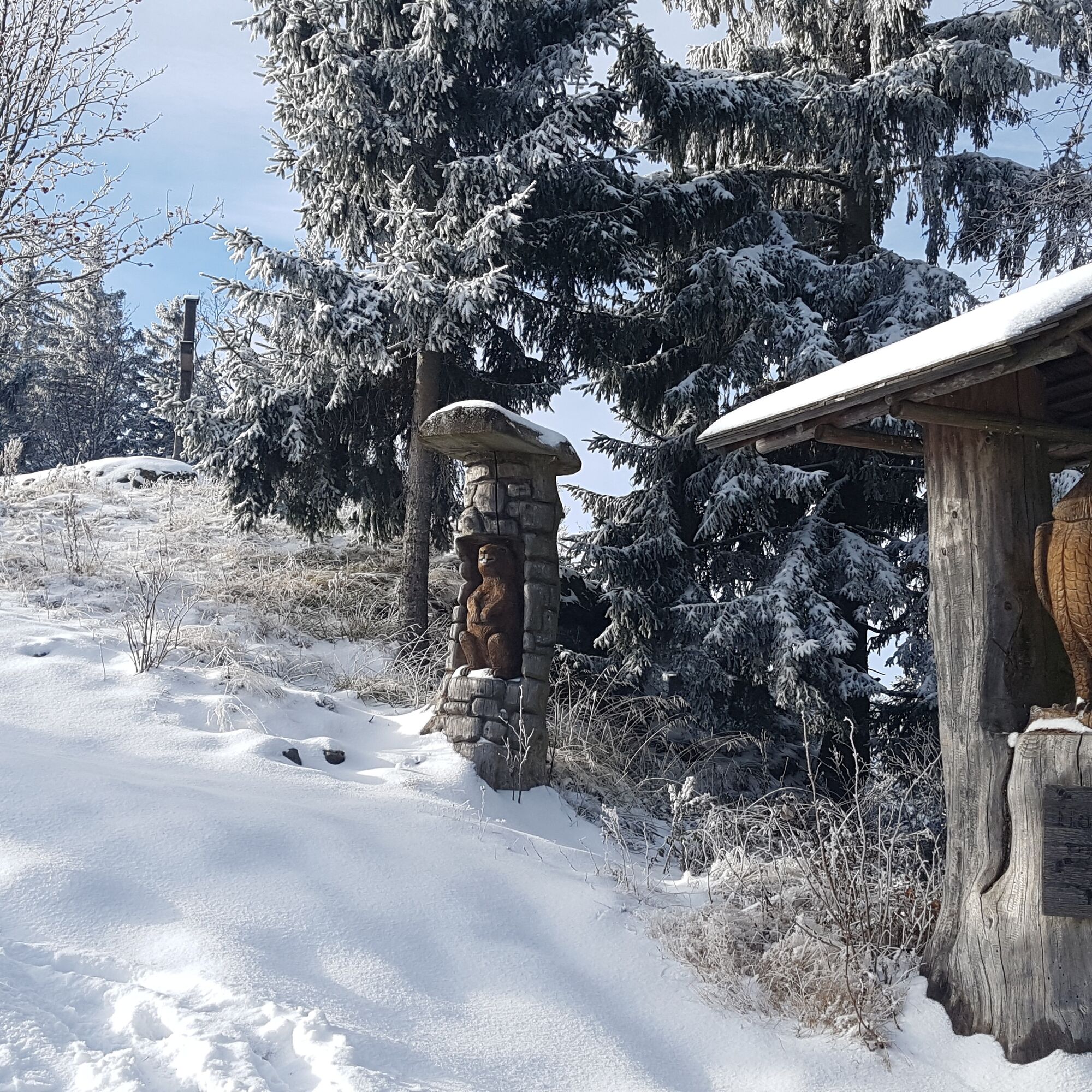
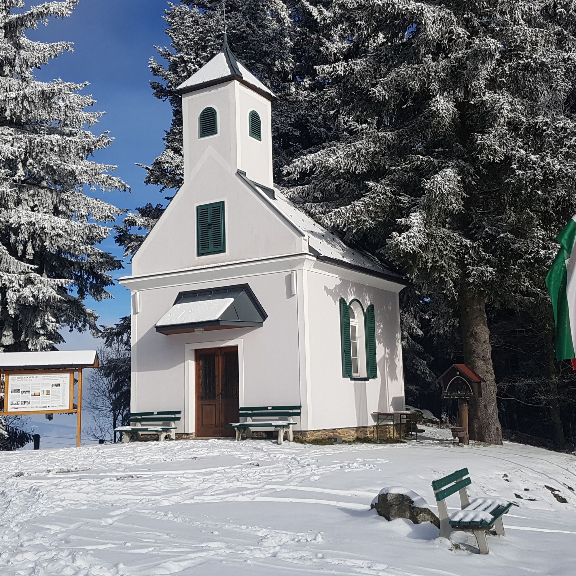
Schutzhaus Masenberg0.1 kmMasenberg (1,261 m)0.1 kmGlückskapelle0.1 kmWiesberg (1,164 m)4.1 kmOlmstoll6.3 kmGlückskapelle6.6 kmSchutzhaus Masenberg6.6 kmMasenberg (1,261 m)6.7 km
- Best season
-
AugSepOctNovDecJanFebMarAprMayJunJul
- Description
-
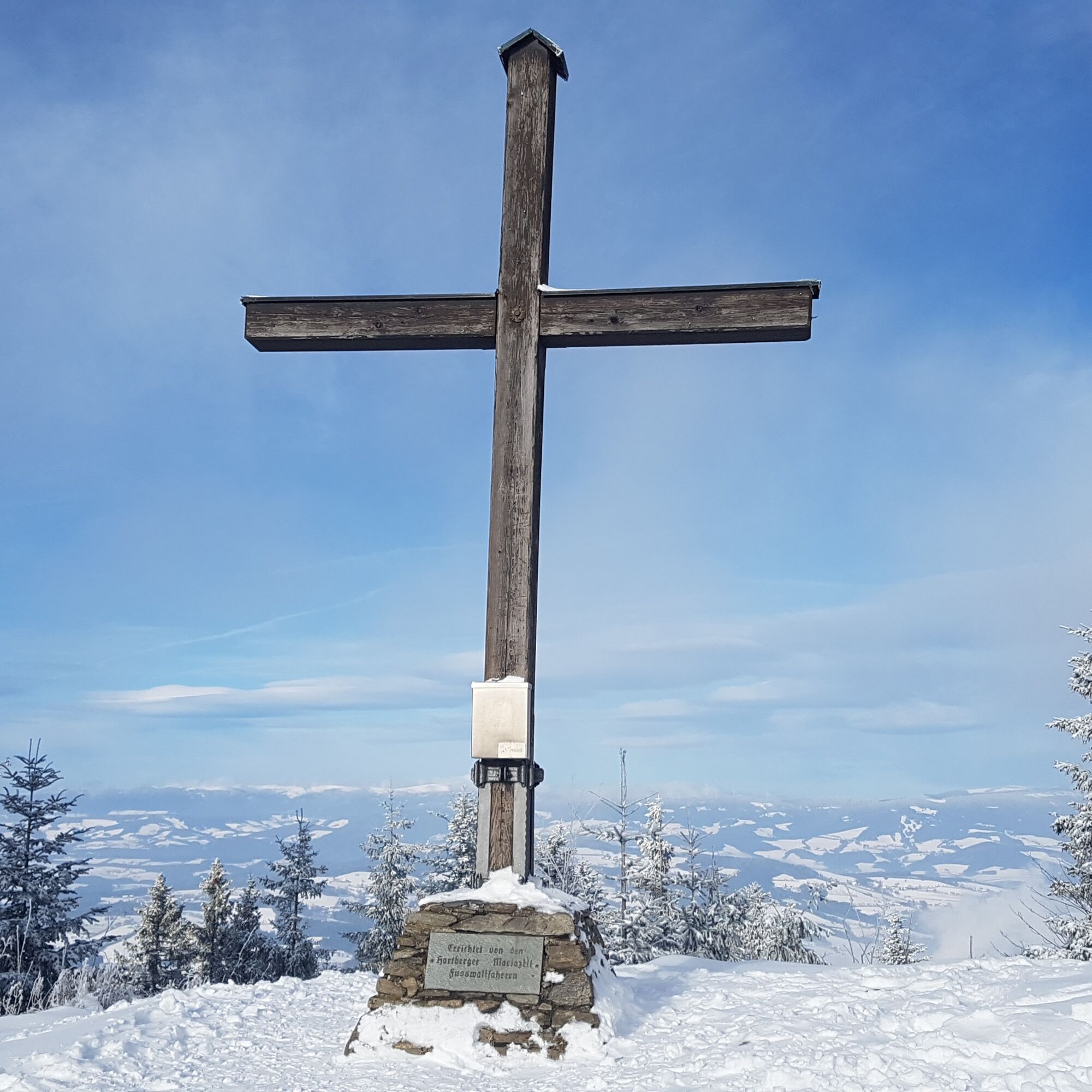
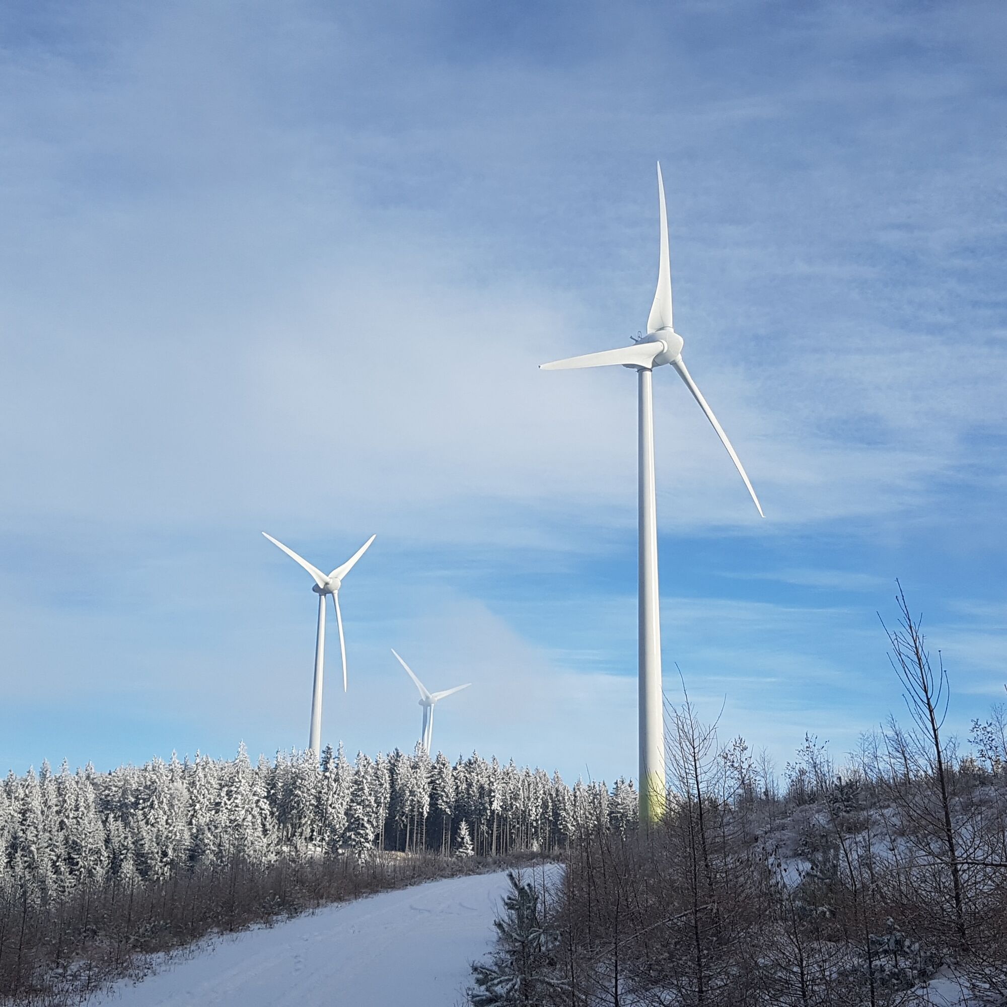
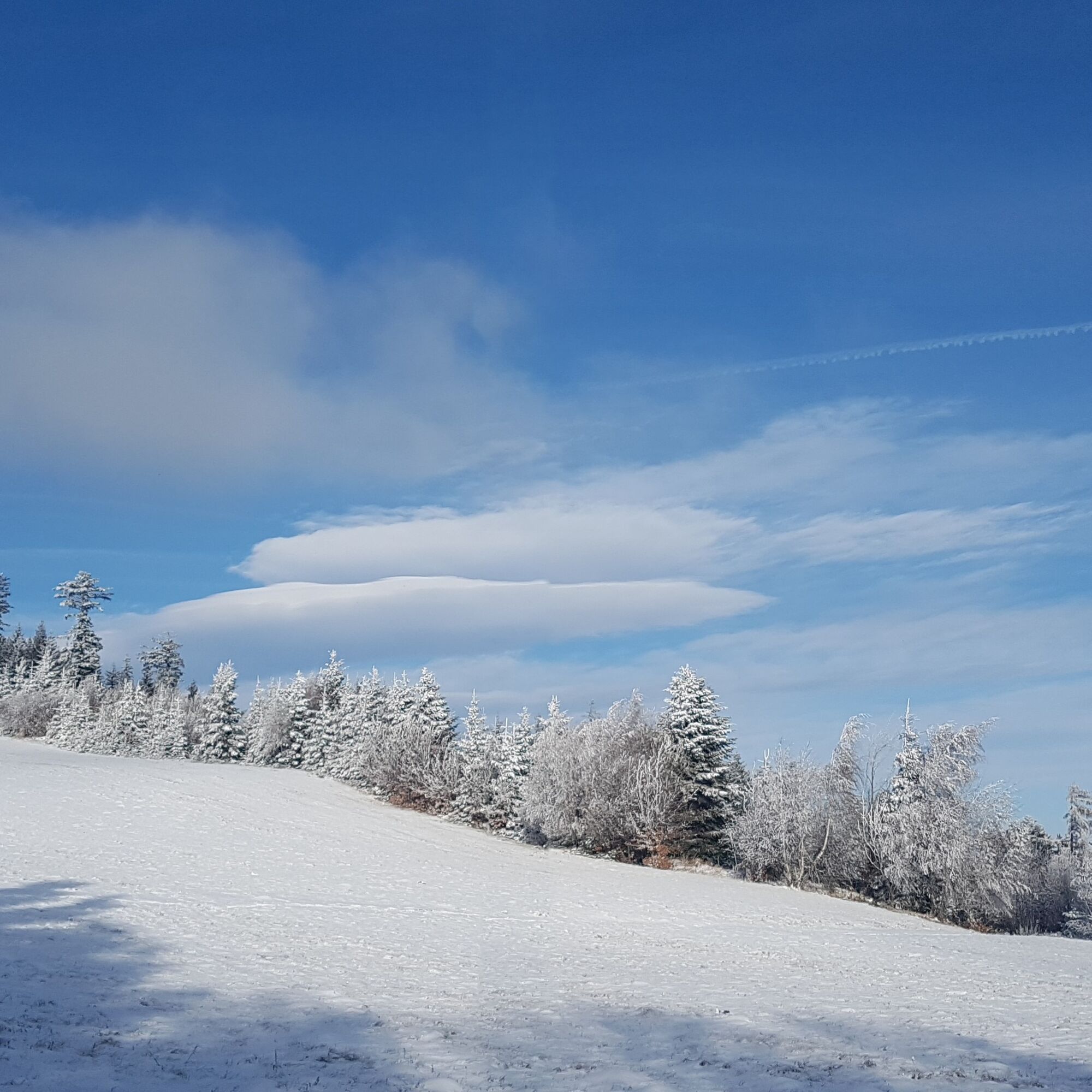
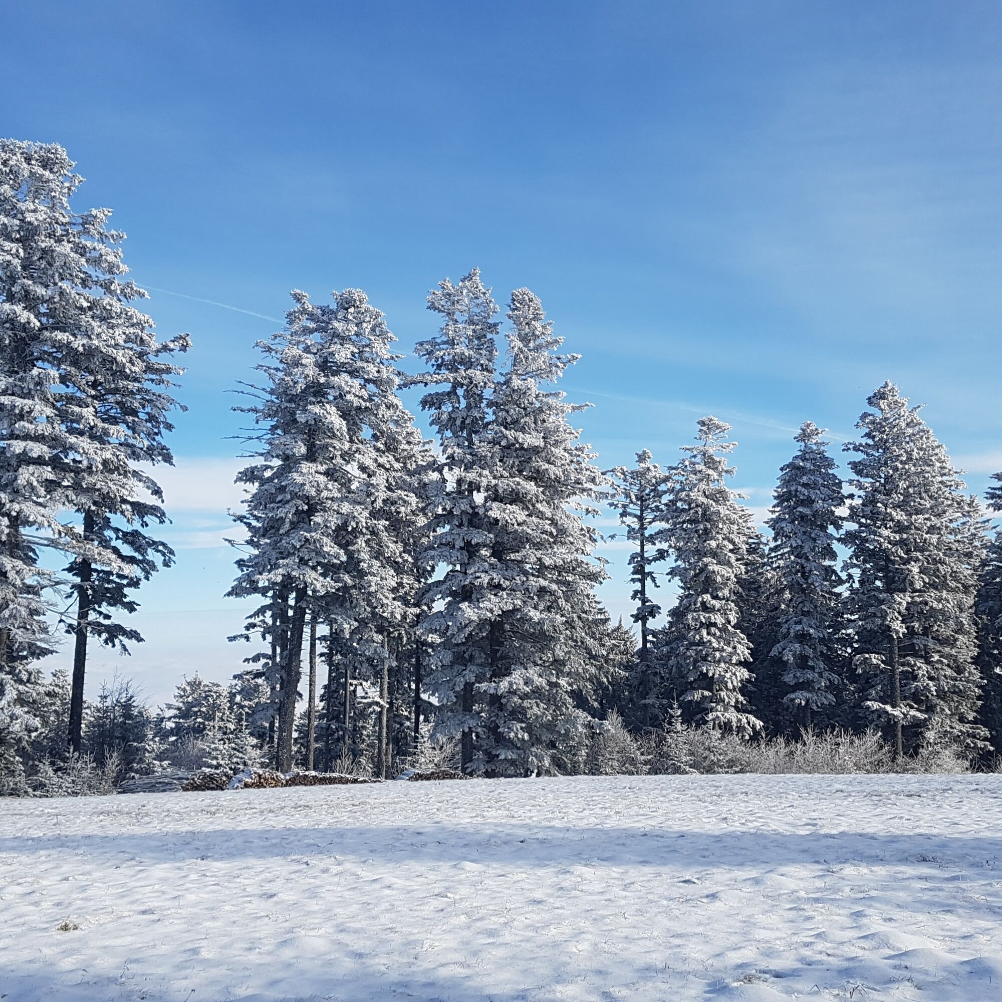
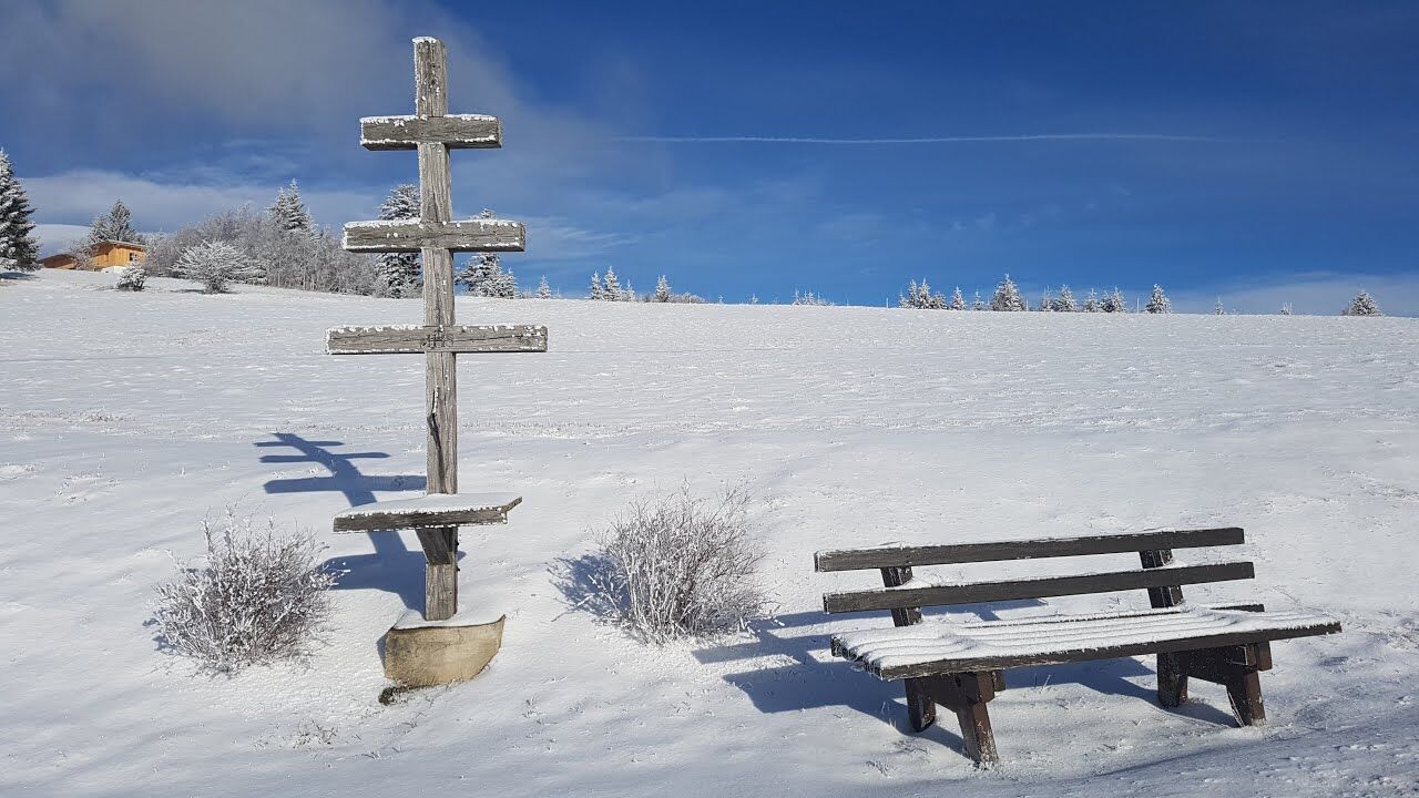
...Snowshoes are rarely necessary here and if they are, then most likely here on the Masenberg, with its summit cross at over 1260 metres, it is the highest point in the Pöllau Valley Nature Park after the Rabenwald. This circular hike is also very attractive in winter - especially when the frost or snow glistens beautifully on the fields and forests and the sun makes the landscape glow. It is also particularly beautiful when the fog in the Pöllau or Vorau basin covers the lower-lying regions like cotton wool and the gloriously radiant sun "warms the mind and body" at higher altitudes.In good weather, we have a fantastic view of the Joglland with the Hochwechsel and the Fischbach Alps (Pretul, Stuhleck), the Almenland, the Kulm, the Riegersburg and even Slovenia.With a bit of luck, we can observe the magnificent ibex and mouflon on this hike in the game reserve between Schutzwirt and Olmstoll.Translated with DeepL.com (free version)
- Directions
-
At the Glückskapelle chapel, we keep left and follow the red-white-red hiking trail no. 950 towards Grafendorf and Hartberg past the Olmstoll inn.
We cross the municipal road to Vorau and choose hiking trail no. 07 towards Schwaig/Hartberg.
We then walk past the air quality monitoring station along a somewhat steeper passage on hiking trail no. 07 in the direction of Waldhansl until we reach the tarmac road.
We stay on the Wiesberg road for approx. 500 metres and turn sharp left uphill at a small detached house.
This hiking trail (red-white-red markings) meets hiking trail no. 16, which joins hiking trail no. 07 and takes us back to the starting point. - Highest point
- 1,255 m
- Endpoint
-
Pöllauberg, Masenberg protective hats
- Height profile
-

- Equipment
-
small rucksack with water bottle (+ provisions)
Sturdy shoes
Appropriate clothing - preferably several layers - "onion principle"
Rain and sun protection
Hiking poles as required
Mobile phone
Small first aid kit
Route description
Before starting the hike, check where you can stop for refreshments, including opening times, or pack suitable provisions. - Safety instructions
-
European emergency call: 112
Emergency call mountain rescue: 140 (if possible, please provide GPS data)
Rescue: 144
Fire brigade: 122 '
Police: 133The trail is easy to walk and therefore suitable for the whole family.
Correct behaviour when hiking: Rules of behaviour when hiking
A few tips on correct and fair behaviour in the forest: (Source: Bundesforste https://www.bundesforste.at/english.html)
Hikers should avoid visiting the forest approx. 1.5 hours before sunrise and after sunset, as wild animals are particularly active at this time. Plastic bottles, handkerchiefs, cigarette butts etc. have no place in the forest! Please make sure that you do not leave any rubbish in the forest. Camping and making fires is strictly forbidden in the forest! In principle, every person in the forest is allowed to collect 2kg of mushrooms and berries per day for their own use. It is only prohibited if the forest owner expressly forbids it. In principle, every person in the forest is allowed to collect 2kg of mushrooms and berries per day for their own use. It is only prohibited if the forest owner expressly forbids it. - Tips
-
We always plan enough time to enjoy the culinary delights of the region!
- Additional information
- Directions
-
Pöllauberg, Masenberg protective hats
The Pöllau Valley Nature Park is located in the heart of Eastern Styria, the garden of Austria, approx. 60 km north-east of Graz and approx. 150 km south of Vienna
By car from Vienna
If you are driving from Vienna to Pöllau bei Hartberg, take the A2 towards Graz and drive about 110 kilometres until you reach the Hartberg exit. From there, follow the B54 in the direction of Pöllau.By car from Graz
To get to Pöllau bei Hartberg from Graz, take the A2 motorway in the direction of Vienna. After about 30 kilometres, take the Gleisdorf West exit and then take the B54 towards Hartberg/Pöllau. Follow the B54 for about 25 kilometres until you reach Pöllau.By car from Salzburg
To get to Pöllau bei Hartberg from Salzburg, take the A1 motorway towards Vienna. Drive about 110 kilometres to exit 109 (Salzburg junction). There change to the A9 motorway in the direction of Graz. At St. Michael, follow the S6 towards Kapfenberg. Continue on the S6 until the Krieglach exit. From there, take the B72 and then the L405 to Pöllau. - Public transportation
- Parking

-

-
AuthorThe tour Winter hiking on the Masenberg is used by outdooractive.com provided.