© Erlebnisregion Schladming-Dachstein - Schladming Dachstein
- Brief description
-
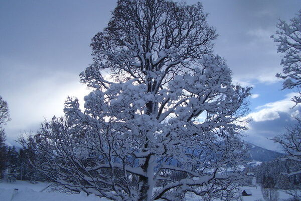
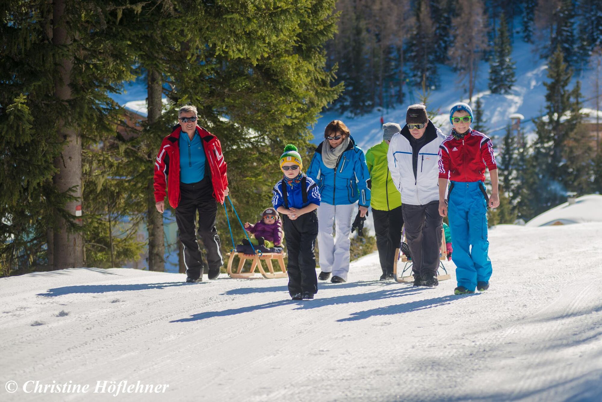
Breathtaking view over the Ennstal!
- Difficulty
-
easy
- Rating
-
- Starting point
-
Top station of the gondola
- Route
-
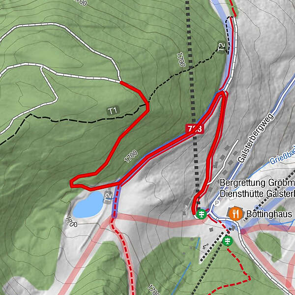
Galsterbergalm0.0 km
- Best season
-
AugSepOctNovDecJanFebMarAprMayJunJul
- Description
-
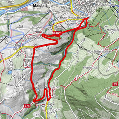
The trail starts at the top station of the gondola, passes the pumping station and storage pond and then continues along a path used as a forest path in summer to the end point. There is a nice photo point (big red heart). Afterwards it goes on the same way (approximately 1.5 kilometers) again back to the mountain station. The way is marked by signs.
- Highest point
- 1,734 m
- Endpoint
-
End with Photo spot
- Height profile
-

- Tips
-
At the end of the tour you will find a nice photo spot (big red heart)
- Additional information
- Author
-
The tour Winter hiking trail Galsterberg is used by outdooractive.com provided.
GPS Downloads


Other tours in the regions