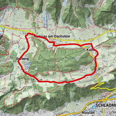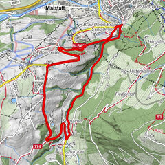
- Brief description
-
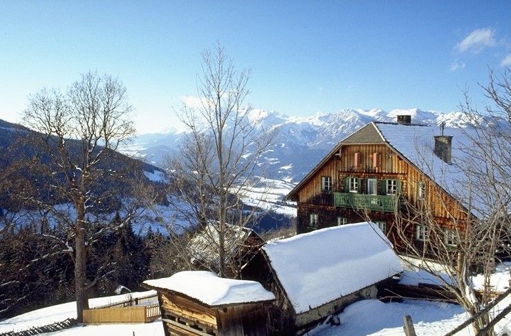
Past traditional farmsteads on a mountain road with spectacular panoramic views.
- Difficulty
-
medium
- Rating
-
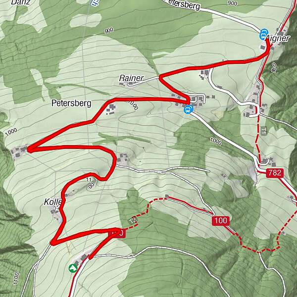
- Starting point
-
near by Aignerhof at Petersberg
- Route
-
Petersberg1.2 km
- Best season
-
AugSepOctNovDecJanFebMarAprMayJunJul
- Description
-
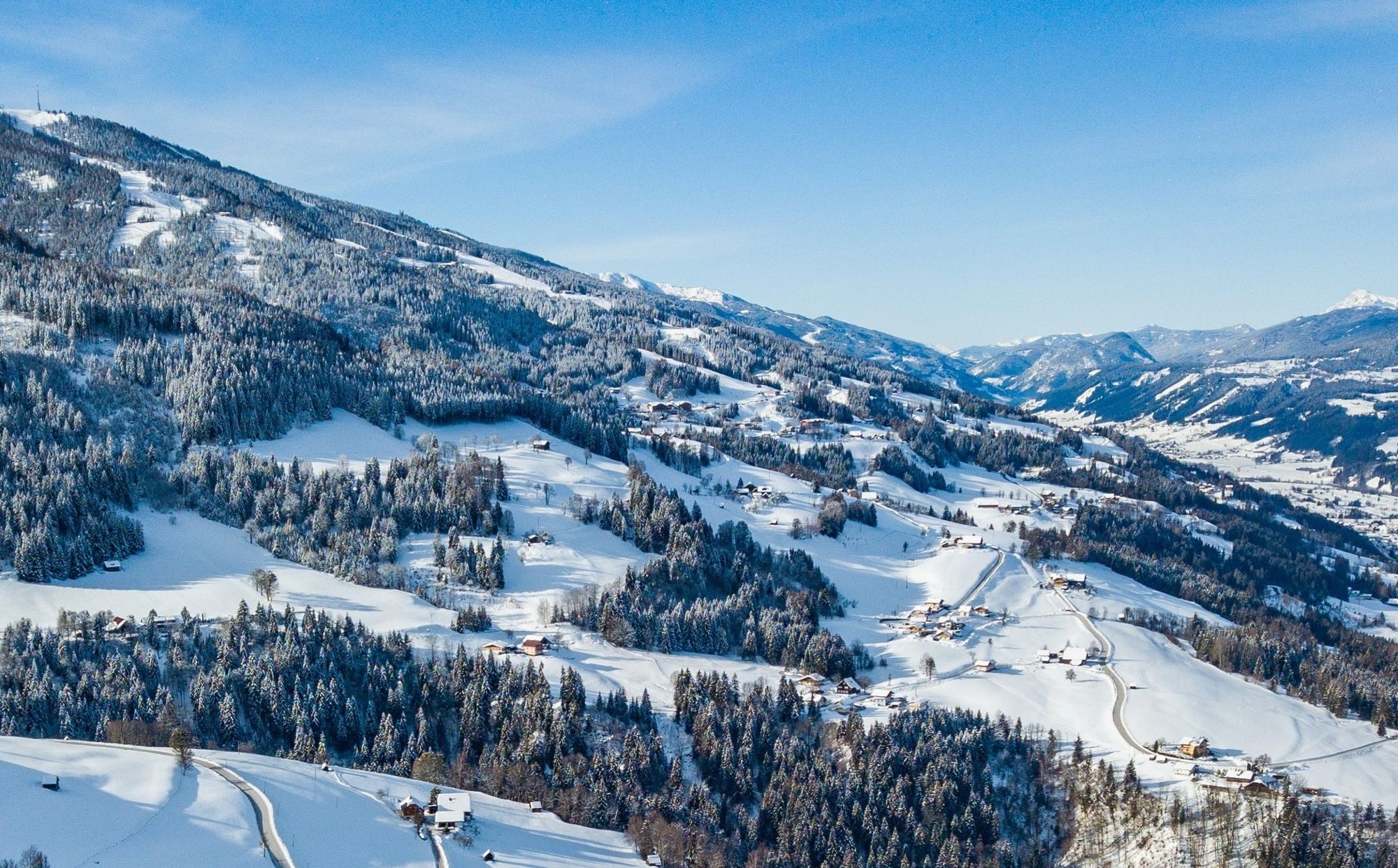
Hike along a low-traffic, cleared mountain road at about 1,000 m above sea level above the Enns Valley.
- Directions
-
Drive by car near to the Aignerhof on the Petersberg. From there the hike leads slightly uphill, past the traditional mountain farms such as Schwarzkogler, Poser or Pölz to the end point Schwaigerhof at Petersberg. Return route as outward route.
- Highest point
- 1,177 m
- Endpoint
-
near by Aignerhof at Petersberg
- Height profile
-

- Equipment
-
sturdy shoes, hiking poles if necessary
- Tips
-
Enjoy the incredible panoramic view of the Dachstein massif.
- Additional information
-
Safety information
Safety on the mountainside: changes in the weather, sudden fall in temperature, thunder storms, wind, fog and snow fields are all objective dangers and require the correct behaviour whilst underway. the landlords of the huts are all very knowledgeable about the mountains and can give you good tips about the weather and the routes. Insufficient equipment, exaggerated opinion of ones capabilities, frivolousness, poor health condition and a false evaluation of the situation can lead to a critical situation. In thunder storms: summits, crest-sites and safety rope aids are to be avoided.
If something should happen call following emergency numbers:
No. 140 - the number for all Alpine Emergencies in all of Austria
No. 112 - European emergency call GSM emergency-call-service - Directions
-
Ennstalbundesstraße (B320) - Ruperting - direction: Niederberg/Petersberg
- Public transportation
-
Arrival with the Postbus (L900) is only possible until Ruperting!
- Parking
-
Along the path at pushed out parking bays.
-
-
AuthorThe tour Mountain hike Petersberg is used by outdooractive.com provided.


General info
-
Schladming - Dachstein
151
-
Haus - Aich
78
-
Aich
32