- Brief description
-
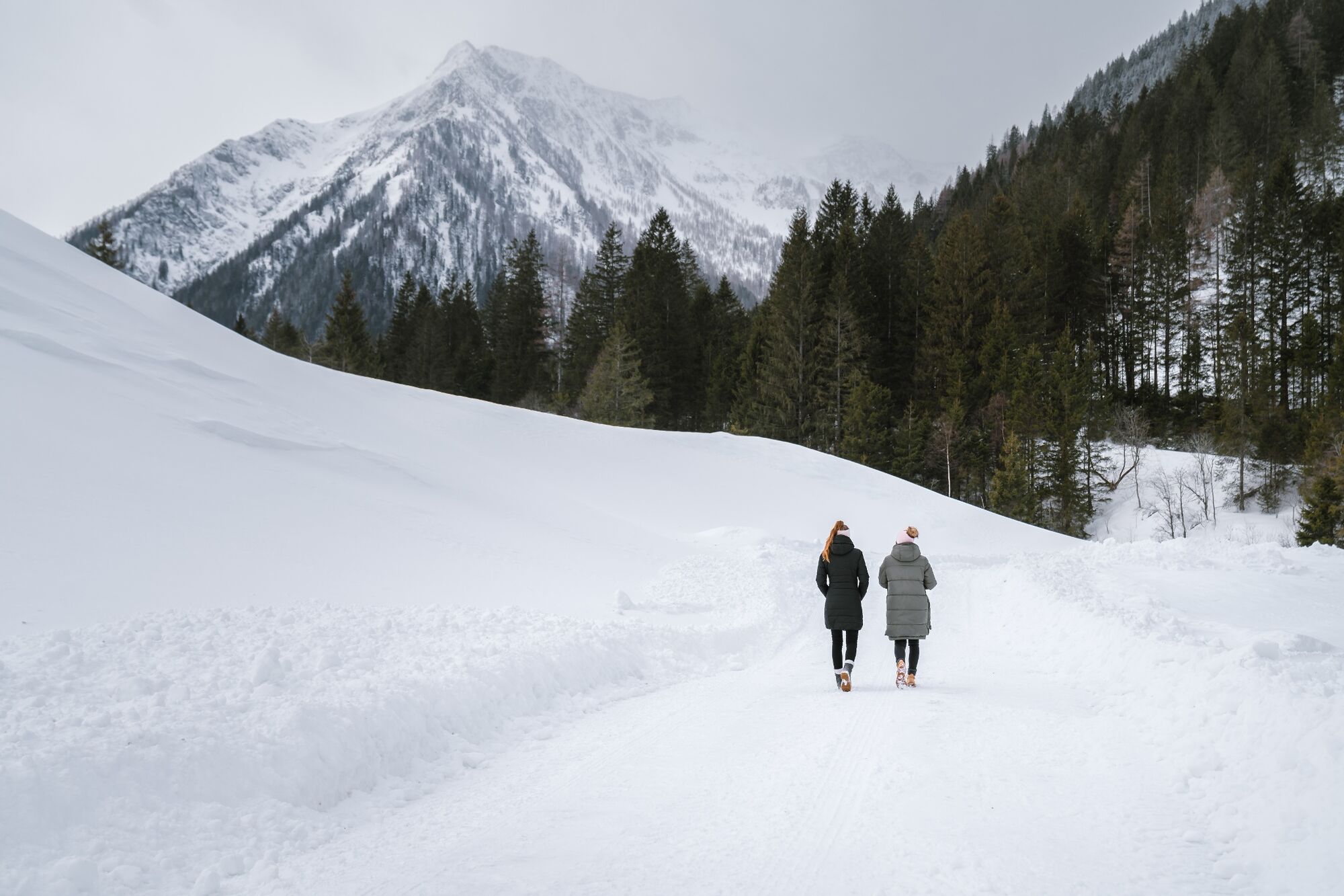
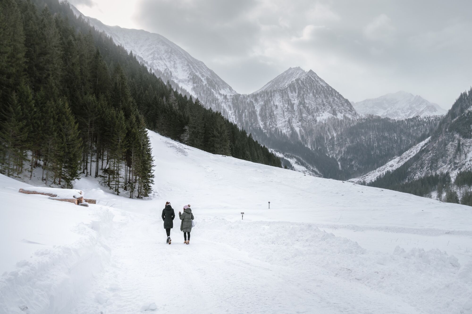
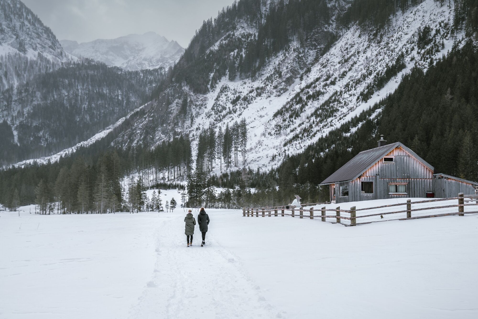
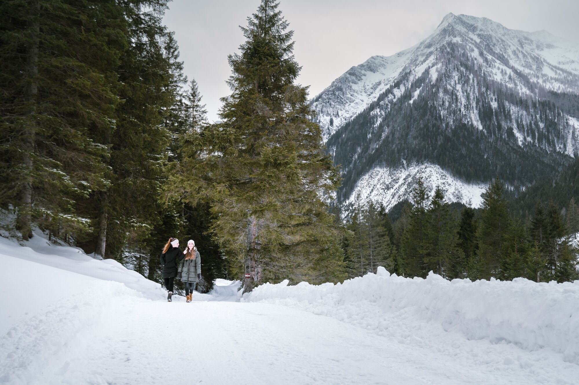
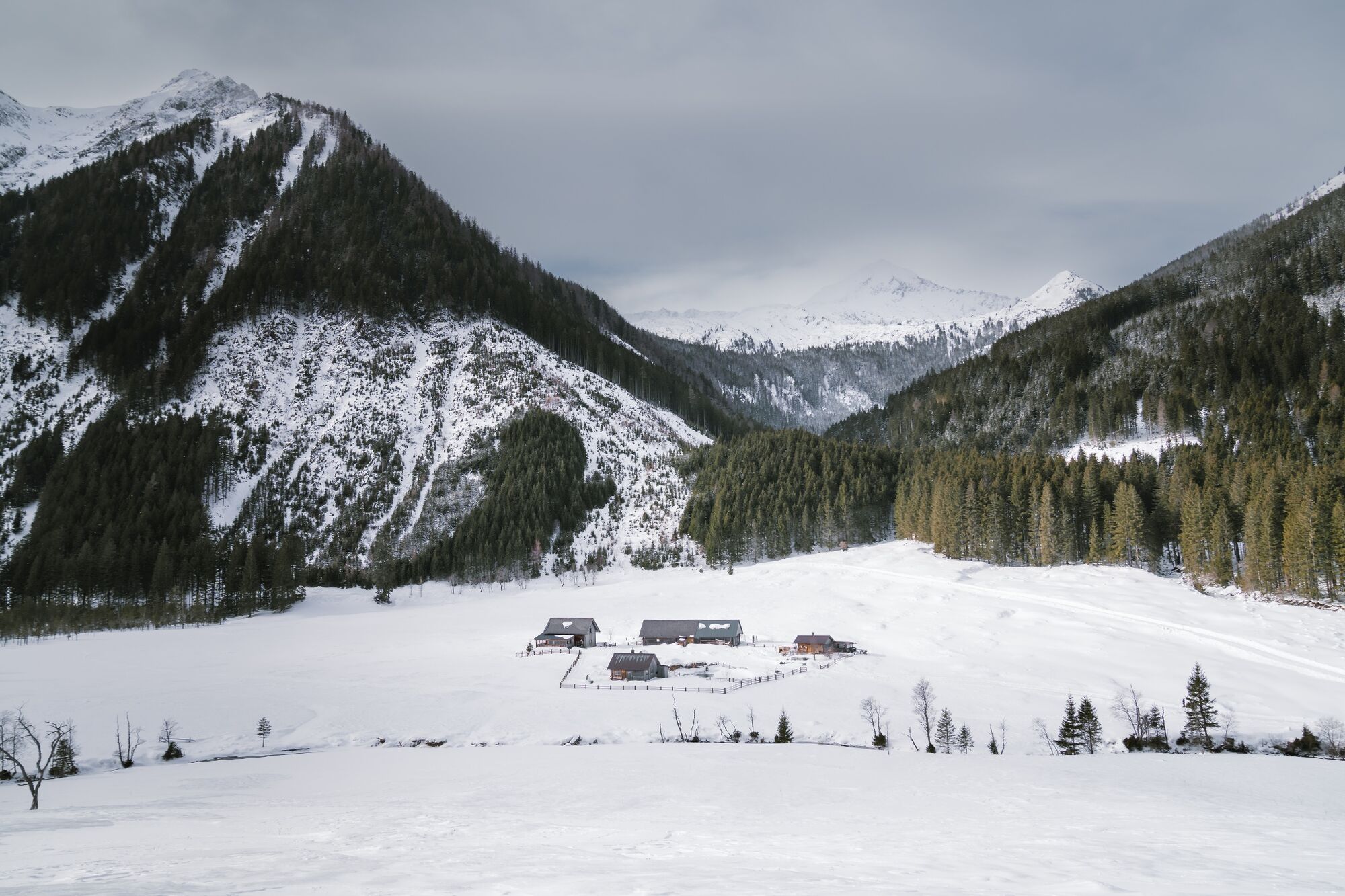
Beatiful winter hike to the Bräualm!
- Difficulty
-
easy
- Rating
-
- Starting point
-
Restaurant Gamsjäger
- Route
-
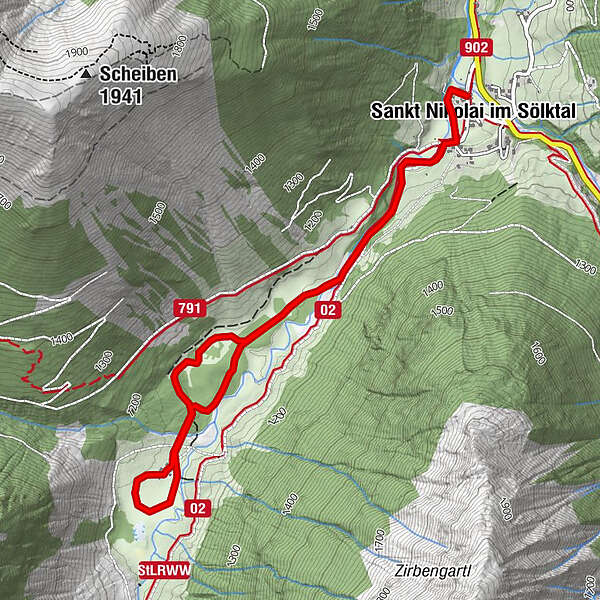
Sankt Nikolai im Sölktal0.2 kmBräualm2.3 kmSankt Nikolai im Sölktal5.2 km
- Best season
-
AugSepOctNovDecJanFebMarAprMayJunJul
- Description
-
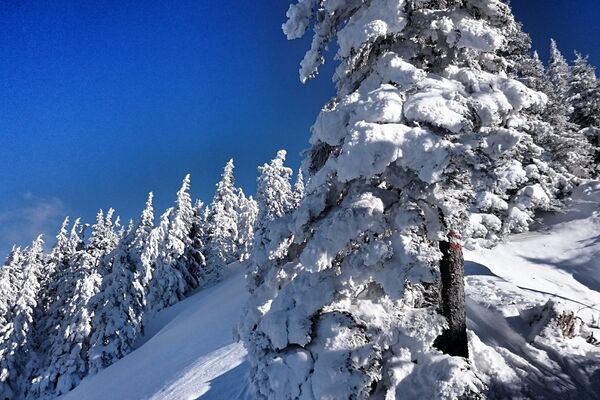
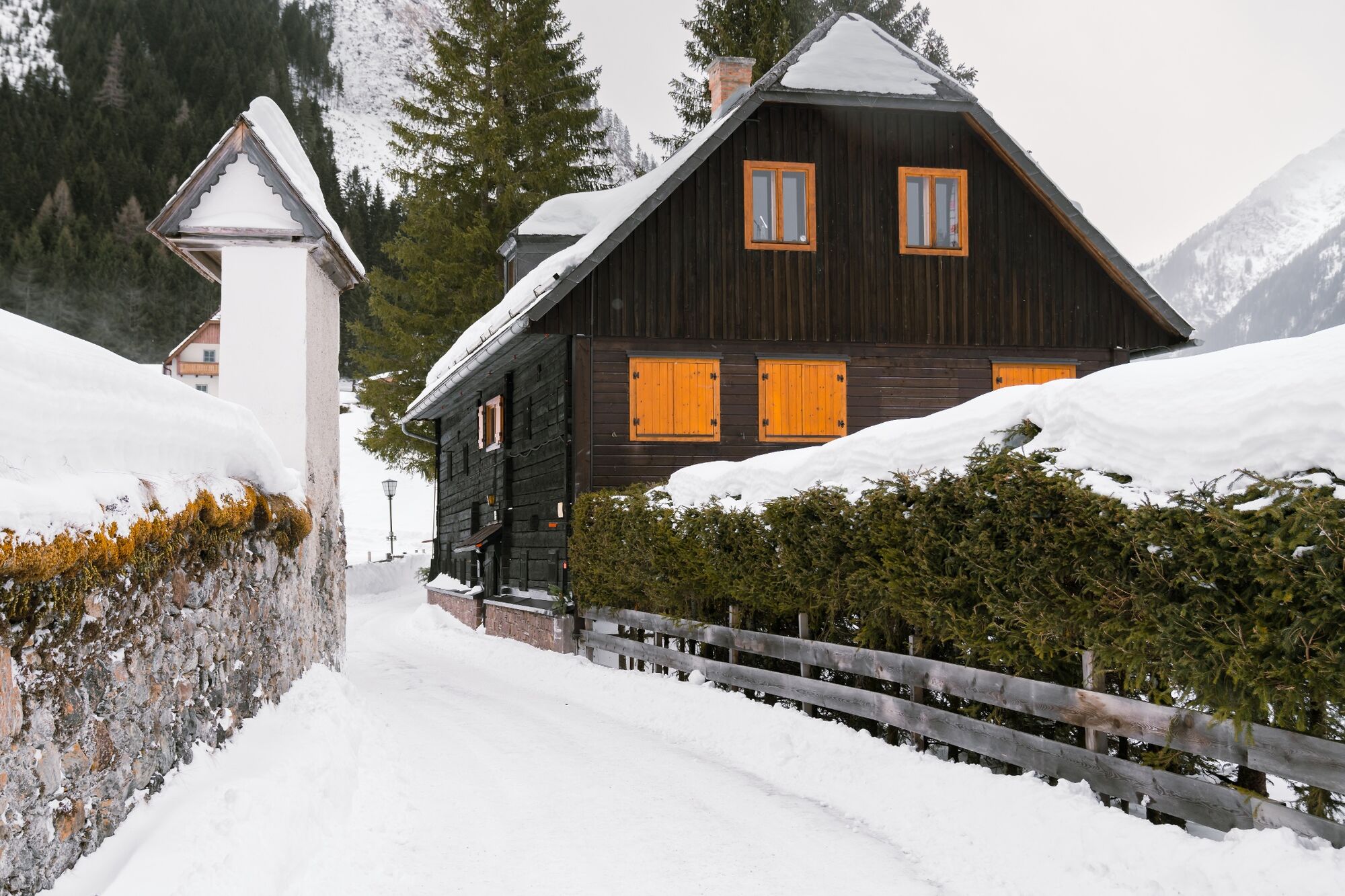
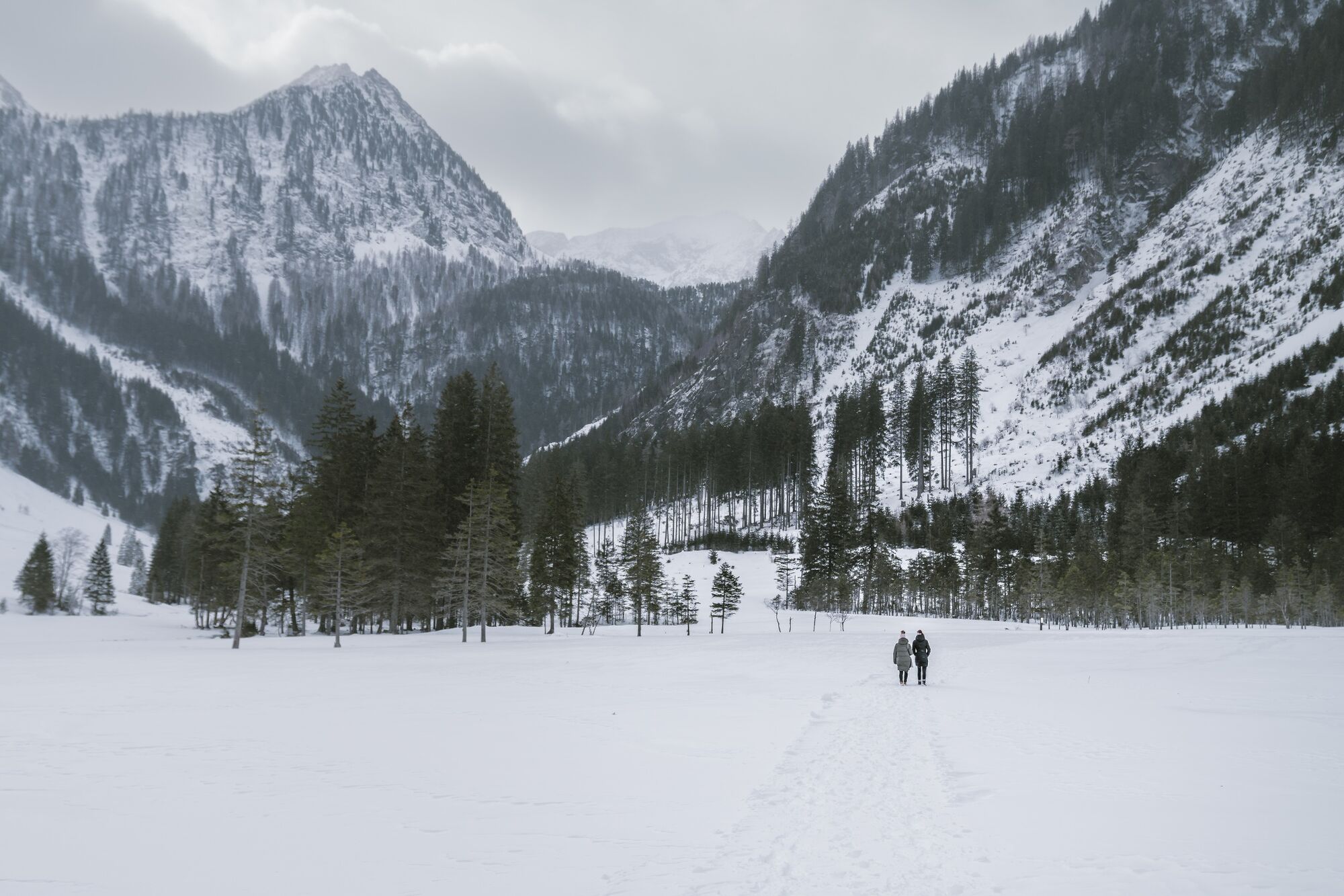
As soon as nature goes into hibernation, silence returns to the Sölktäler and the perfect time for winter hikes has come. Enjoy the snow-covered winter forest, the deep blue sky, the sparkling ice crystals on the streams and the crunching of the snow during a walk to the Bräualm.
Behaviour in nature
The nature reserve Sölktäler is the habitat of numerous sensitive and endangered plant and animal species. We ask you to behave accordingly and to stay on the marked paths!
- Directions
-
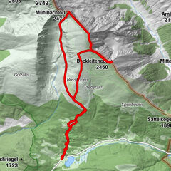
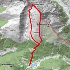
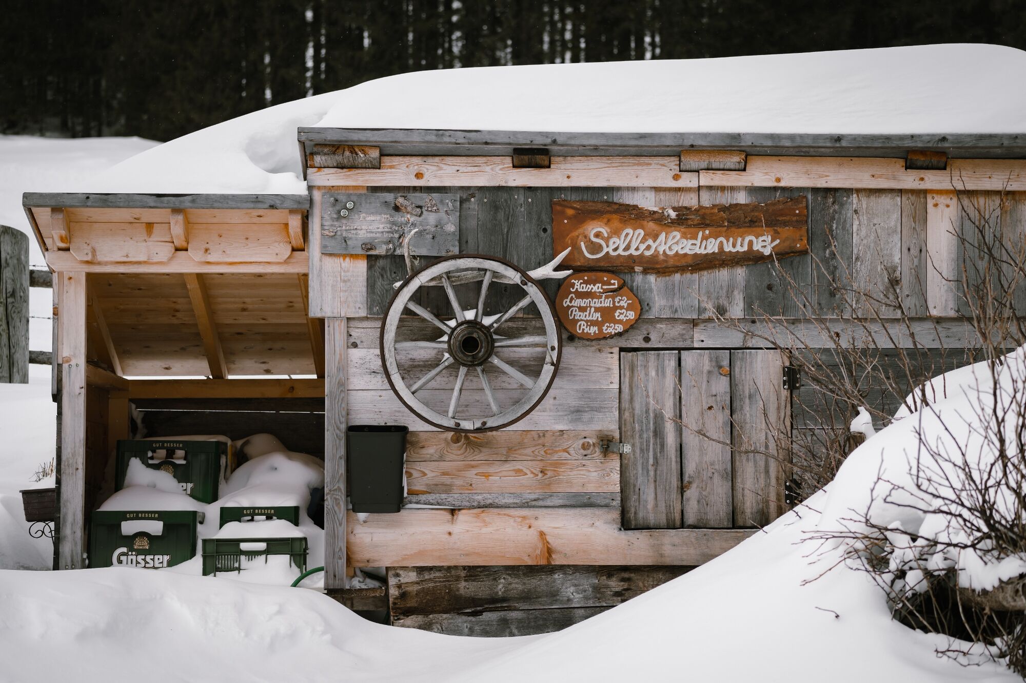
From the starting point of the "Gasthaus zum Gamsjäger" simply follow the hiking trail 702 in the direction of Bräualm to the alpine huts.
- Highest point
- 1,166 m
- Endpoint
-
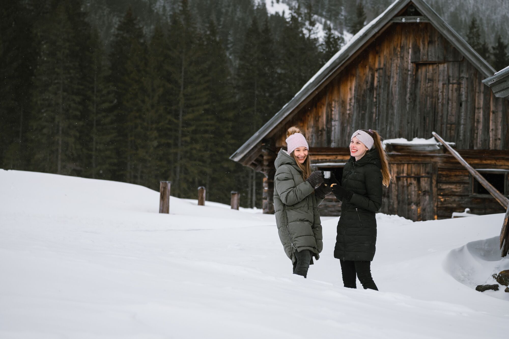
Bräualmhütte
- Height profile
-

- Equipment
-
For winter hikes we recommend sturdy, warm shoes as well as warm clothing, especially gloves and hat.
- Tips
-
On the respective Advent Saturdays, beginning on 1 December 2018, the Advent service will be held in the parish church in St. Nikolai at 7 p.m. and will be performed by local singing and music groups.
In the village square at the Advent stands, the scent of fresh gingerbread, roasted chestnuts and mulled wine and the lovingly decorated windows of the old Mesner House shine in the special light of an Advent calendar.
- Additional information
- Author
-
The tour Winter hike to the Bräualm is used by outdooractive.com provided.