


- Brief description
-
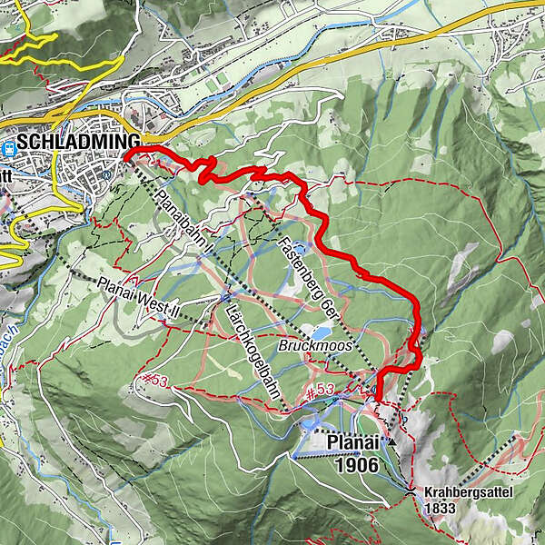
Hiking trail n° 50 is an alternative route to the top of Planai.
- Difficulty
-
medium
- Rating
-
- Starting point
-
Hiking trail head Planai stadium
- Route
-
Schladming (745 m)Wieslechalm3.2 km
- Best season
-
JanFebMarAprMayJunJulAugSepOctNovDec
- Description
-
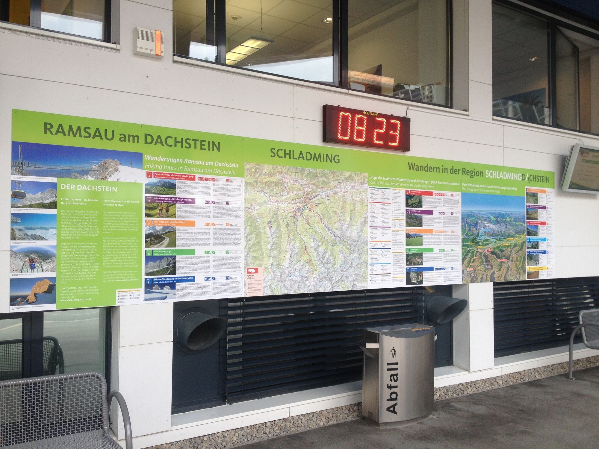
This hike takes you from Schladming to Planai via Fastenberg. The trail n° 50 of the "Naturfreunde Schladming" club is the easternmost route from Schladming to Planai and is one of several routes to the top of the famous skiing mountain. About half-way up Wieslechalm inn invites for refreshments. In the area around Planai summit Schladminger Hütte chalet, Schafalm and Onkel Willy's Hütte inn and Planaihof are inviting for drinks and snacks.
Points of Interest on the way up to Planai:
Wieslechalm inn with pond Magnificient view to the plateau of Ramsau mountain terminal Planai cable car and Hopsiland - Directions
-
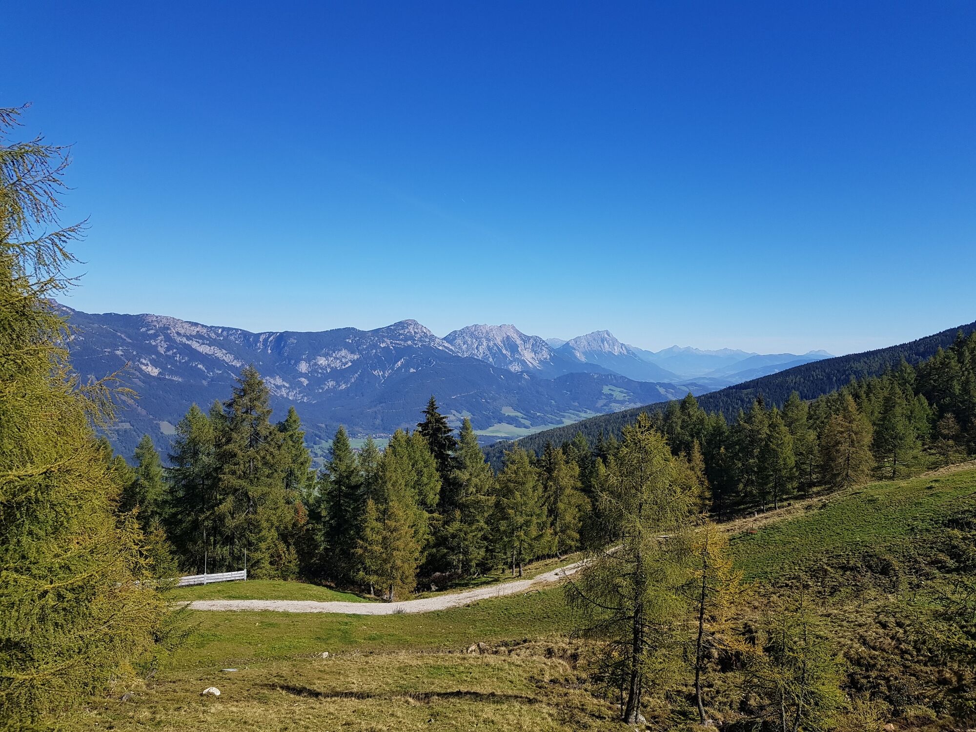
From the hiking trail head at Planai stadium follow Coburgstraße street eastwards and make a right at apartments "Zur Barbara" into "Trenkenbachweg" road. Walk up the road to its end and then follow the trail signs of trail n° 50. Through the forest you hike uphill to the Spreizenberger farm. Towards Southeast you continue uphill, walking through sections of forest and over alpine meadows. At the Rinderbichler farm you cross over Planaistraße street and then follow the trail to Hotel Schröckerhof. Afterwards you cross over "Brandweg" road and soon reach the Wieslechnerhof farm. From there it is another 15 to 20 minutes to Wieslechalm. Here you have accomplished about half of the route. Take a break on the terrace of Wieslechalm and enjoy the great view to the plateau of Ramsau and Schladming.
After your break you continue uphill on trail n° 50 and ascend through the forest of Planai. Once you reach the valley terminal of Burgstallalmbahn you also reach an alpine meadow. Passing by the "Naturfreundehaus" you hike up to the mountain terminal of Planai cable car through clear forest and over the lush green "ski pistes". At the mountain terminal you have reached the end point of the tour. From the mountain terminal you can further hike up for about 10 minutes to reach Planai summit.
- Highest point
- 1,820 m
- Endpoint
-
Hiking trail head Planai mountain terminal
- Height profile
-

- Equipment
-
A well-packed backpack is helpful and especially when touring Alpine terrain a tuque, gloves, a windproof jacket and pants are standard equipment. Good, waterproof shoes, sun glasses, sun cream and sufficient beverages are essential too. Torch light, a map of the area, knie and a small first-aid kit should also be in the backpack.
- Safety instructions
-
Changes in weather patterns, quick falls in temperature, thunderstorms, wind, fog and snow are some of the dangers that can be encountered on a hiking tour. Hosts of alpine huts and mountain refuges have a lot of experience in the mountains and can give good advice about weather and the trails. Poor equipment, overestimation of one's own capabilities, carelessness, poor personal constitution and/or wrong judgement can lead to critical situations. In case of thunderstorms: avoid summits, ridges and steel ropes.
GPS data and orienteering
Available GPS data - just like hiking maps - is only a guidance for orientation and can never depict a trail exactly with all its details. Especially at dangerous spots it is essential to judge on site how to proceed.
In an emergency please call:
140 - for Alpine emergencies (all over Austria) 112 - European GSM emergency number - Additional information
- Directions
-
From federal highway B320 take exit "Schladming-Ost". Continue to the roundabout (Spar/Salewa Mountain Shop) and take the 3rd exit towards "Zentrum" (town center). At the following roundabout again take the 3rd exit, which will take you directly to the valley terminal of Planai cable-car at Planai stadium.
- Public transportation
-
In the town of Schladming you can take the Citybus. From Rohrmoos take the Planai buses to Planet Planai, from Ramsau take the buses of Ramsauer Verkehrsbetriebe.
For the return to Schladming you can use the Planai cable car or one of the other hiking routes (World Cup trail, n° 53, n° 779).
- Parking
-
Parking is available at the valley terminal of Planai cable car.


-

-
AuthorThe tour Trail n° 50 to Planai is used by outdooractive.com provided.


General info
-
Schladming - Dachstein
3000
-
Schladming - Rohrmoos
1477
-
Schladming
466


