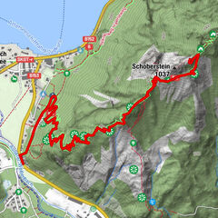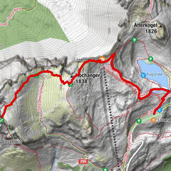
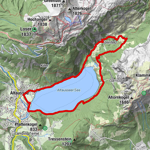
Tour data
11.8km
710
- 905m
263hm
265hm
02:56h
- Brief description
-
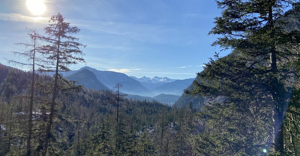
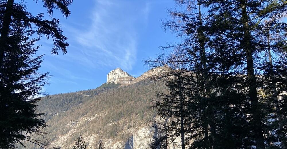
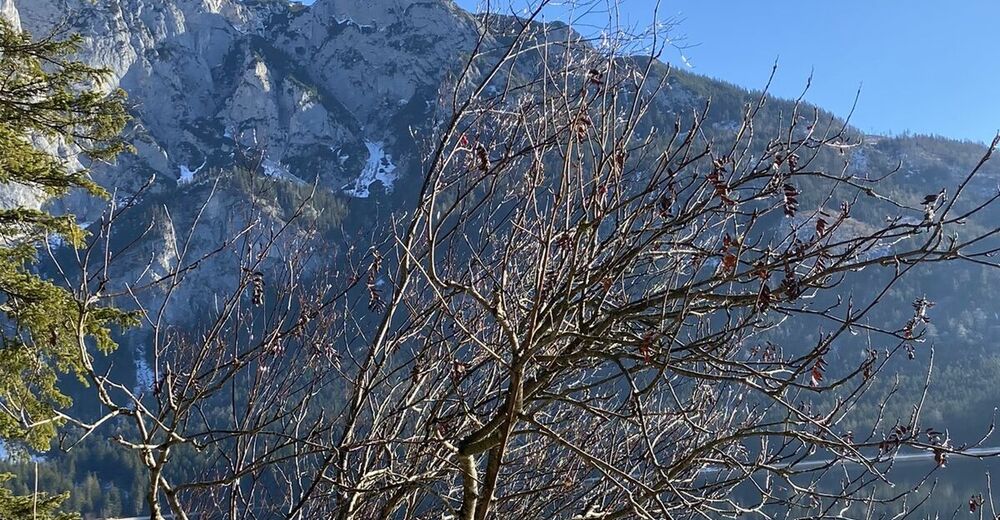
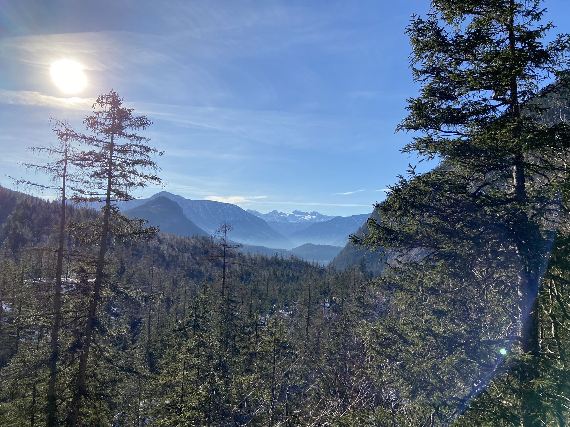
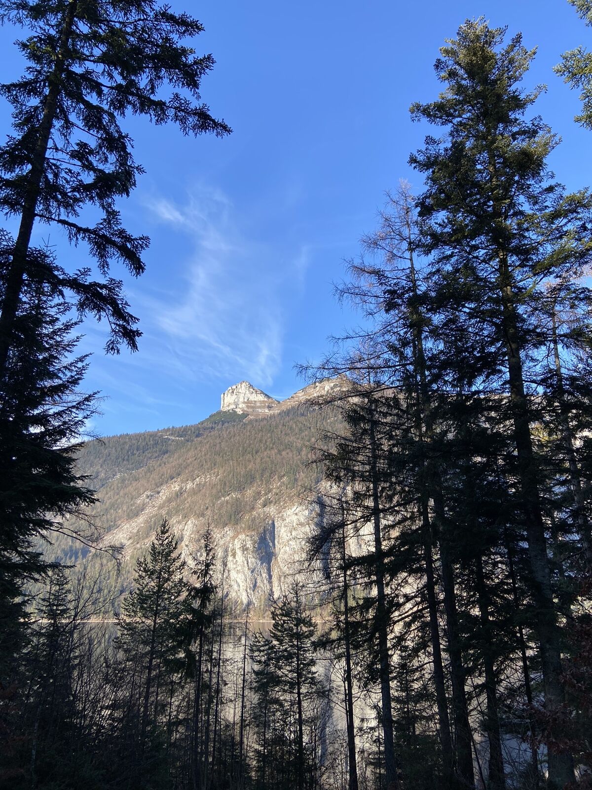
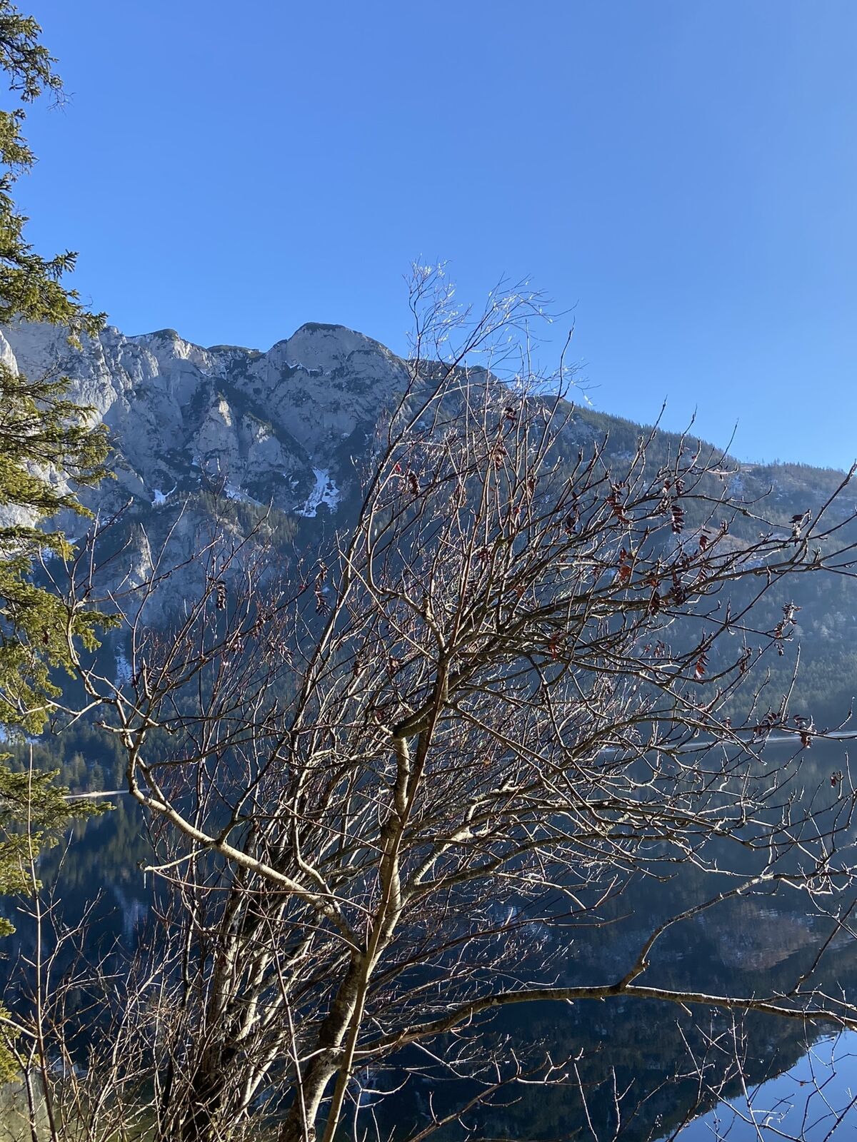
Erweiterte wunderschöne Wanderung um den Altauseer See
- Difficulty
-
medium
- Rating
-
- Route
-
AltausseeVoglgsang0.2 kmFischerndorf0.3 kmKath. Pfarrkirche St. Ägid0.4 kmKahlseneck1.0 kmKaltenbrunn1.3 kmBauchige Steinwänd1.9 kmHoisn-Gatterl2.1 kmGaisknechtstein4.2 kmSchönris8.9 kmBreitris9.3 kmBettelmandeln9.7 kmSchweinebucht9.9 kmStrandcafe10.3 kmPlatteneck10.6 kmBrunnerplatz11.4 kmAltaussee11.8 km
- Highest point
- 905 m
GPS Downloads


Other tours in the regions