
- Brief description
- Difficulty
-
easy
- Rating
-
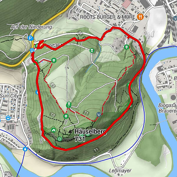
- Starting point
-
at the former Waldschenke
- Route
-
port3610.1 kmLeoben0.8 kmHäuselbergspalte1.5 kmRußhöhle1.5 kmHäuselbergkluft2.2 km
- Best season
-
JanFebMarAprMayJunJulAugSepOctNovDec
- Description
-
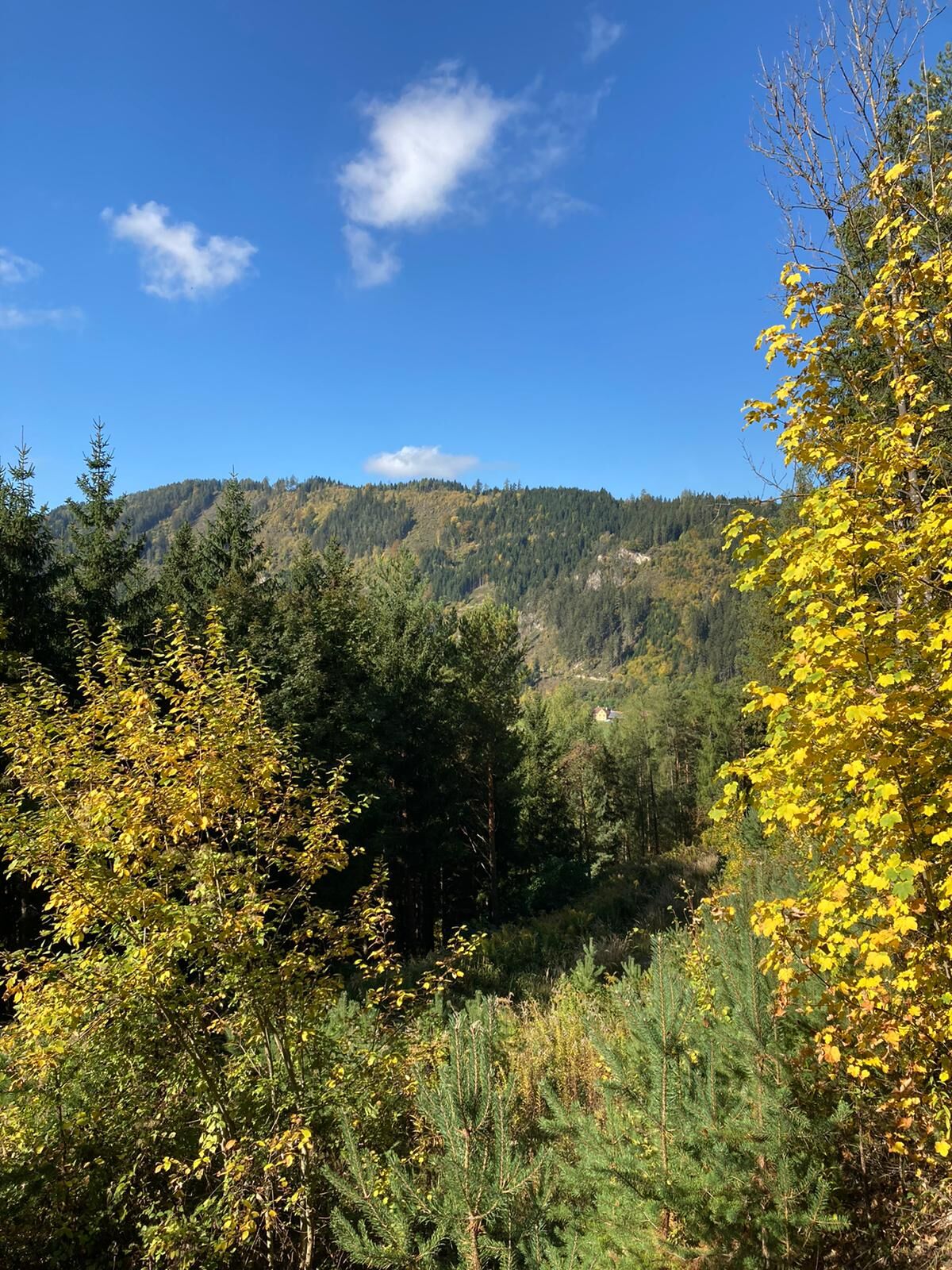
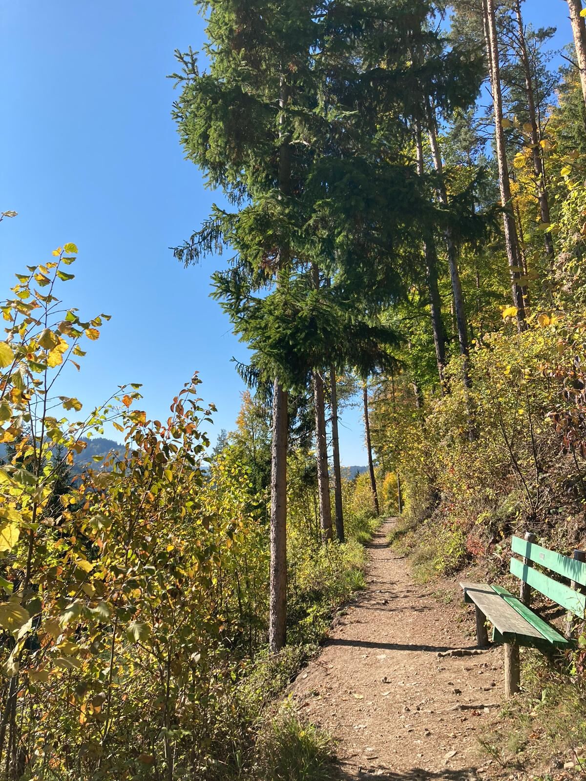
Comfortable circular hiking trail with many resting places and beautiful viewpoints!
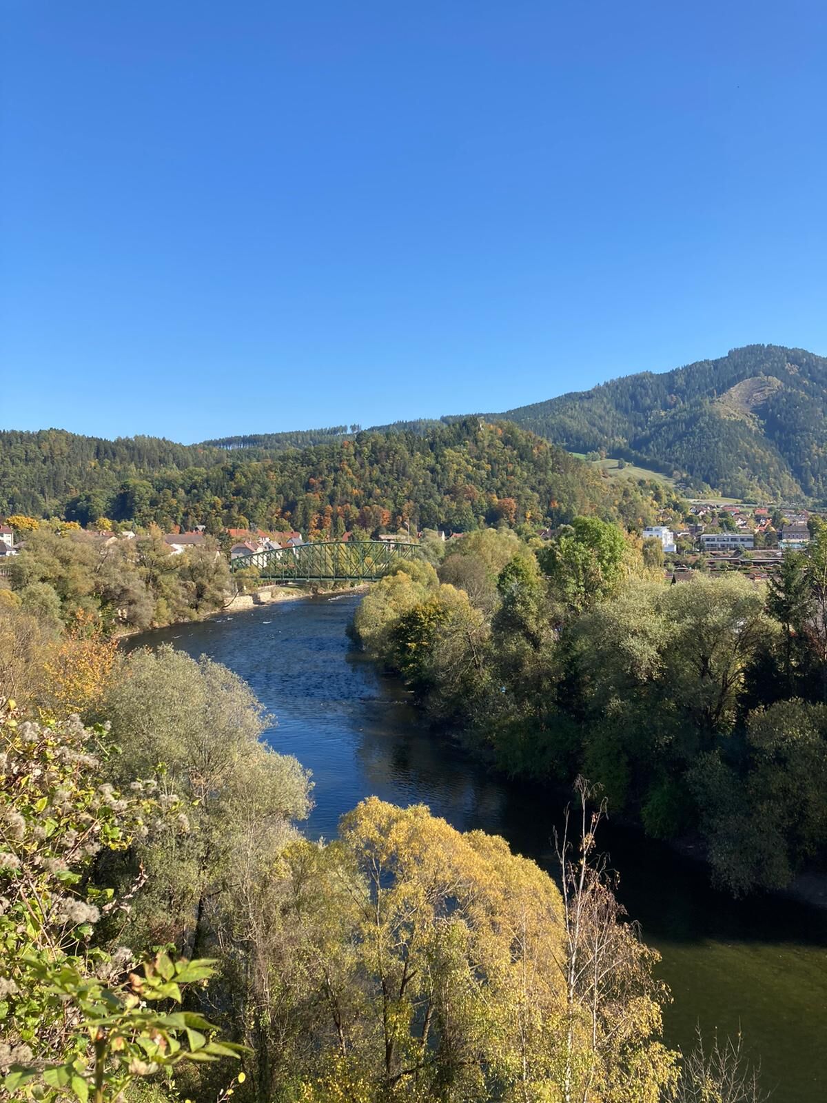
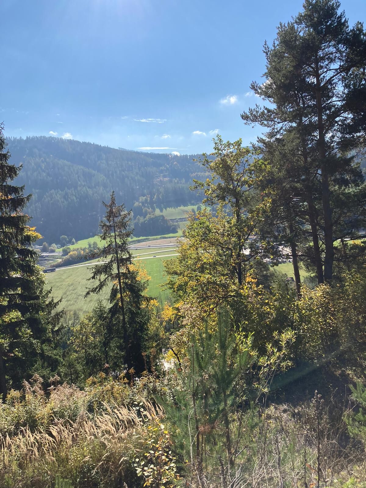
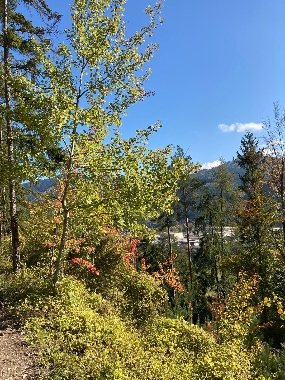
The start is at the former Waldschenke. It goes in the direction of Leitendorf, before you round the mountain with a view of Göss, in the foreground the monastery and the brewery.
- Directions
-
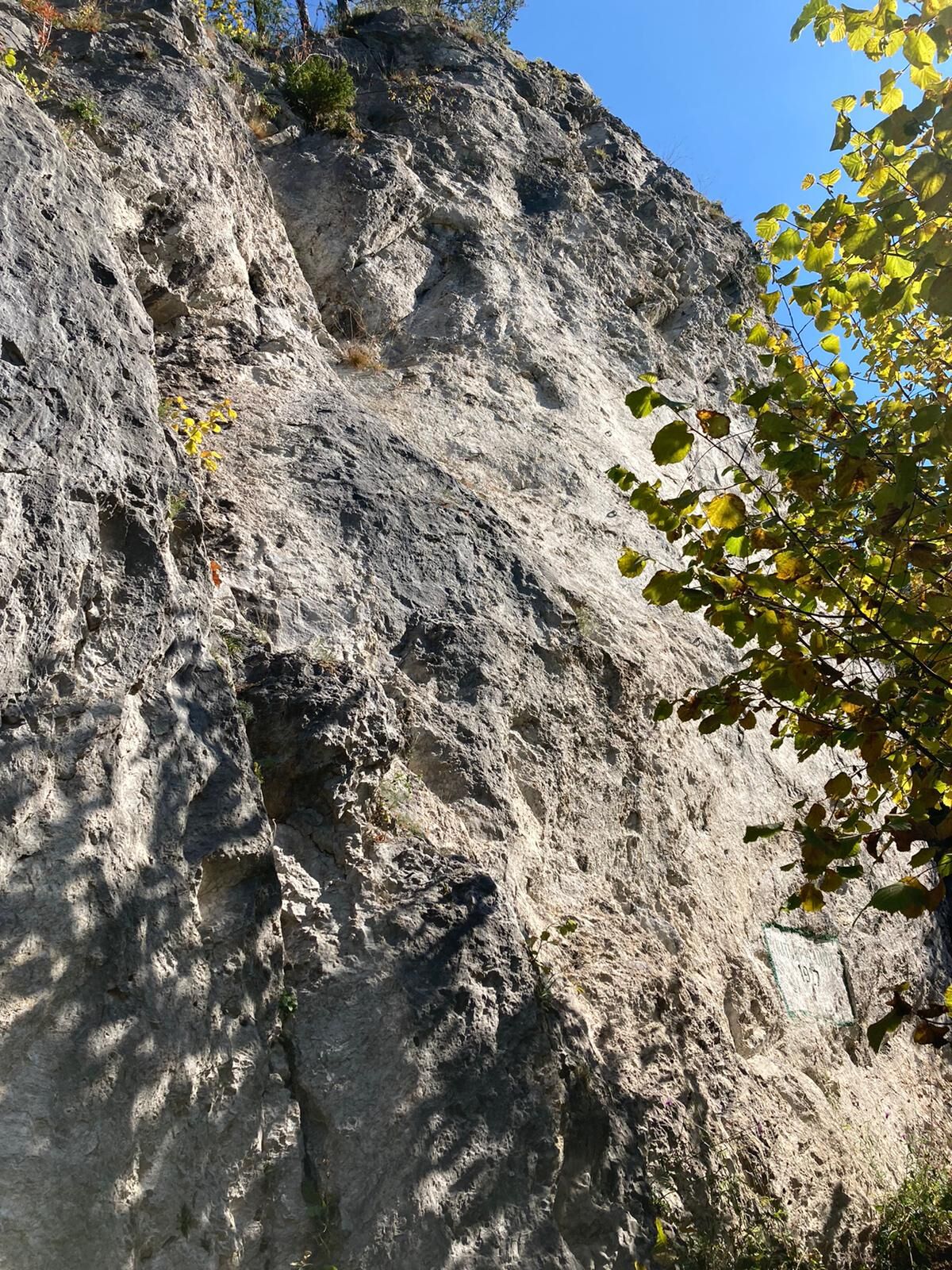
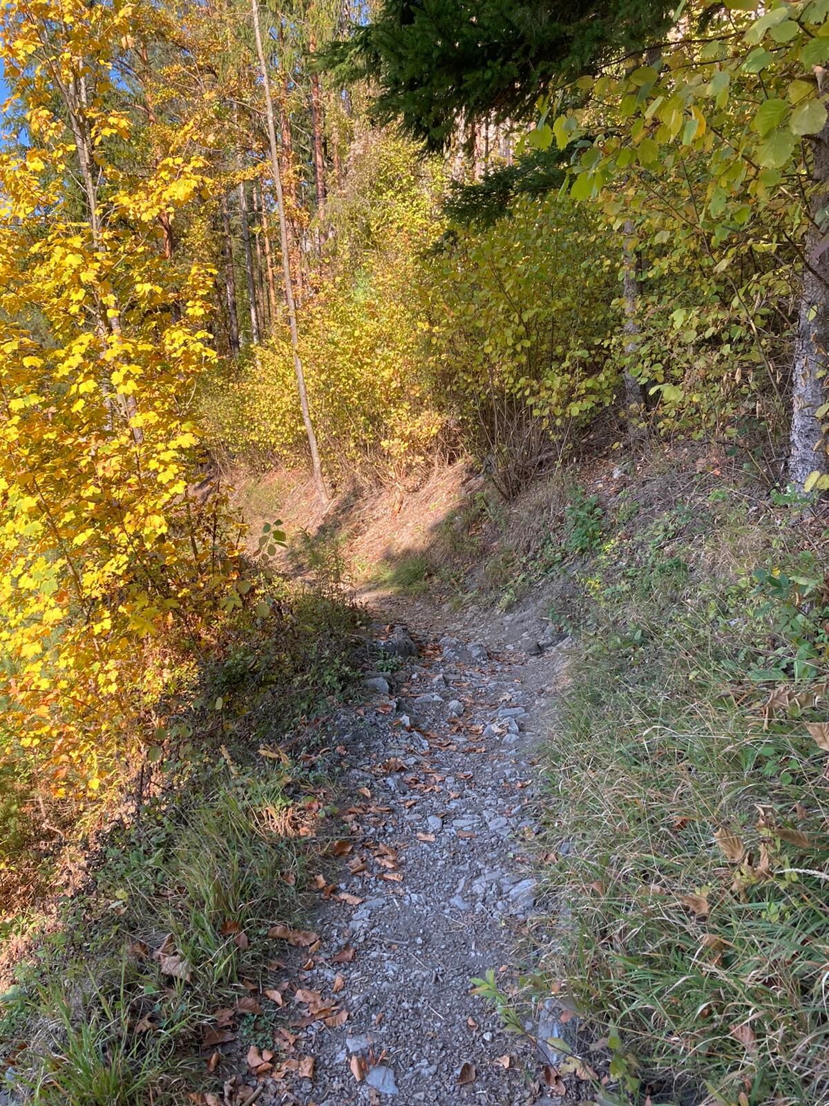
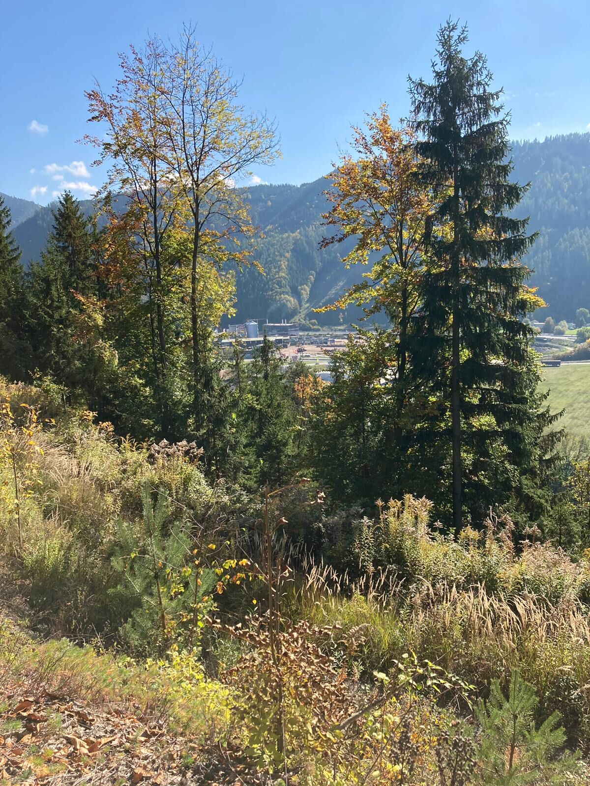
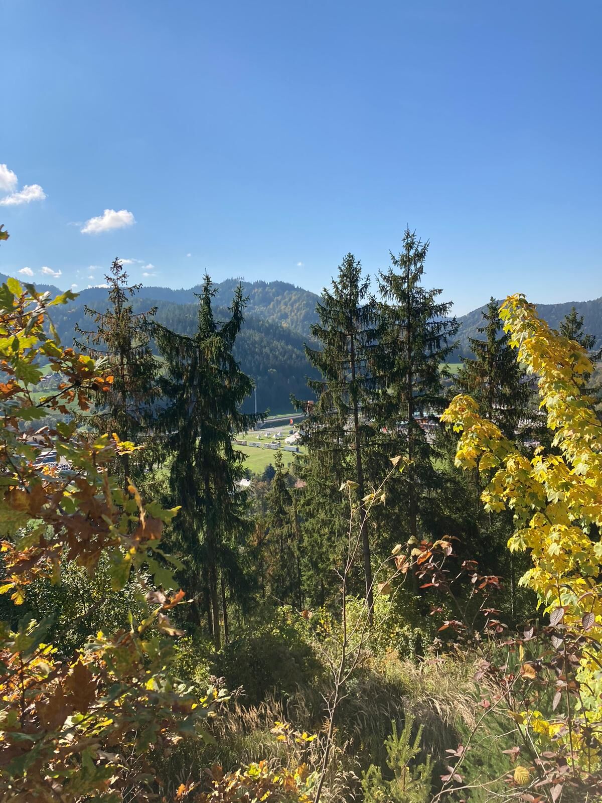
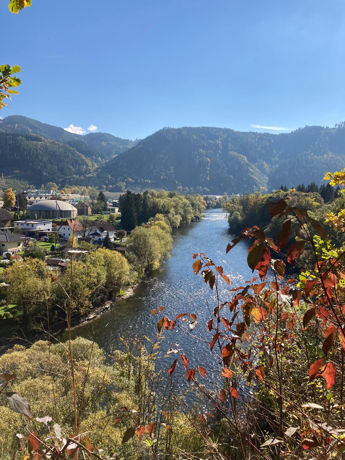
You start at the restaurant "Port 361" and walk downhill, along the edge of the forest, towards Leitendorf. At the first vantage point you have a view of the district of Göss. Before you reach the second vantage point, you pass the climbing garden, which is supervised by the Alpine Club Leoben. Afterwards, you have a wonderful view of the Leoben-Hinterberg district again and again. Afterwards, the trail descends again to the starting point.
- Highest point
- 636 m
- Endpoint
-
at the former Waldschenke
- Height profile
-

- Equipment
-
Sturdy shoes are recommended.
Proper backpacking makes many things easier: pack heavy things first. The water bottle should always be within easy reach in a side pocket. All things that are often needed such as sunglasses, camera or hiking map belong on top. An emergency kit including blister plaster belongs in every backpack
clothing according to the "onion system" is always recommended! - Safety instructions
-
Planning your desired tour properly in advance is a must.
Emergency call rescue: 144
Emergency reporting tip - give answers to six important questions: What happened? How many injured? Where did the accident happen (possibly GPS coordinates)? Who reported the accident (call-back number)? When did the accident happen? Weather at the accident site?
- Tips
-
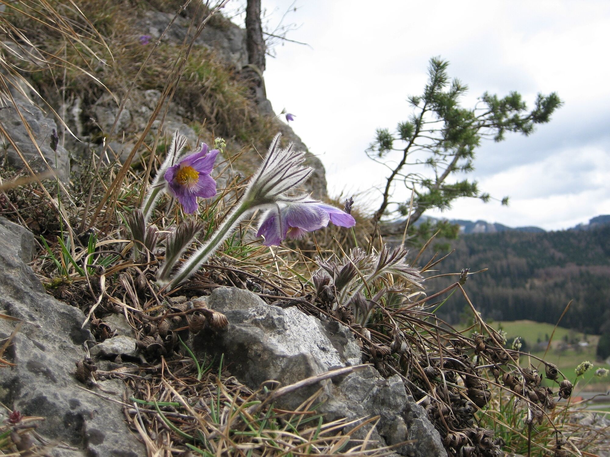
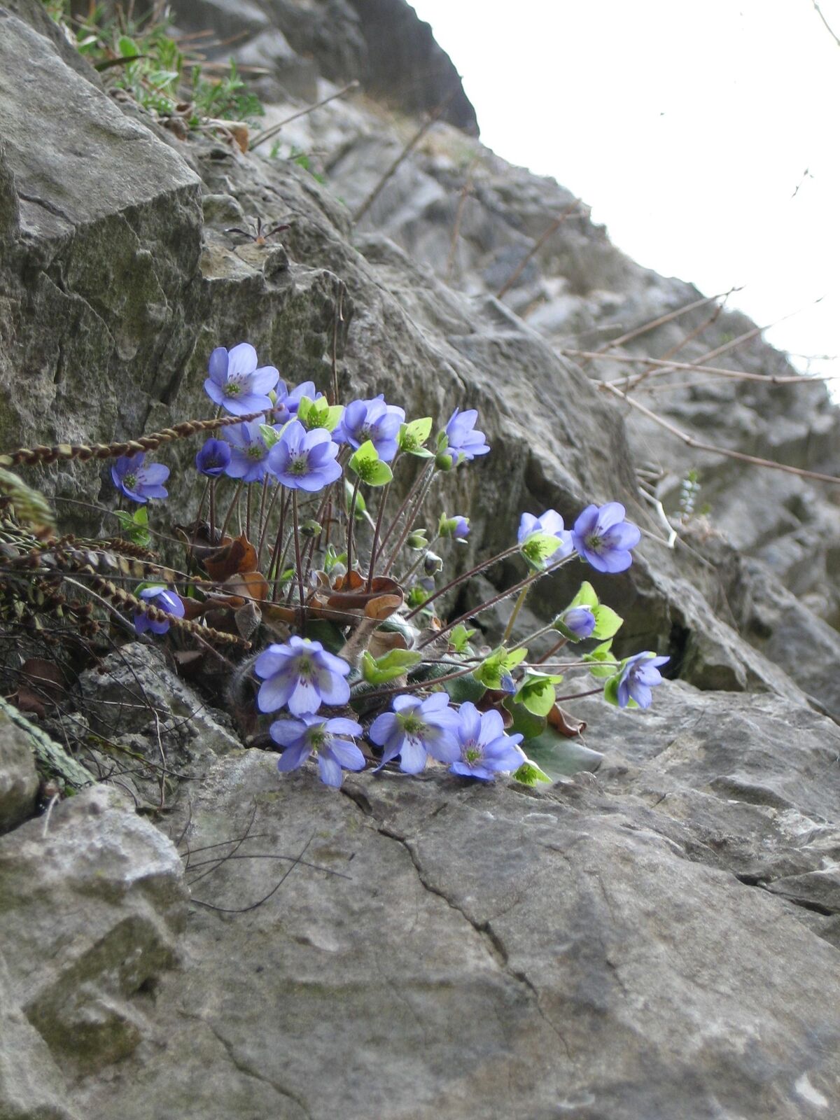
The summit ridge of the Häuselberg is a nature reserve and there you can discover the rather rare, protected "Steirische Küchenschelle" or "Gokoloanzen".
Directly at the entry point is the gourmet restaurant "Port 361". Peter Brandner and his team have the following philosophy: clear, unadulterated and genuine. The own taste of the product is in the foreground and is only refined by the addition of high-quality oils and spices and not adulterated.
- Additional information
- Directions
-
Freeway exit Leoben-West, direction Zentrum, then turn left towards Hinterberg.
- Public transportation
-
Bus direction Hinterberg or St. Michael
Timetables and travel information can be found directly at: Österreichische Bundesbahnen (ÖBB), Steiermärkische Landesbahnen (STLB), www.busbahnbim.at
With the BusBahnBim app of the Verbundlinie, timetable information has never been easier: all bus, train and tram connections in Austria can be queried by entering locations and/or addresses, stops or important points. The app is available as a free app for smartphones (Android, iOS) - on Google Play and in the App Store
- Parking
-
directly at the former Waldschenke - there is now the restaurant "Port 361" - parking is also available across the street

- Author
-
The tour Häuselbergrunde Leoben is used by outdooractive.com provided.


General info
-
Erzberg Leoben
2522
-
Bruckmur-Kapfenberg
1494
-
Leoben
231