- Brief description
-
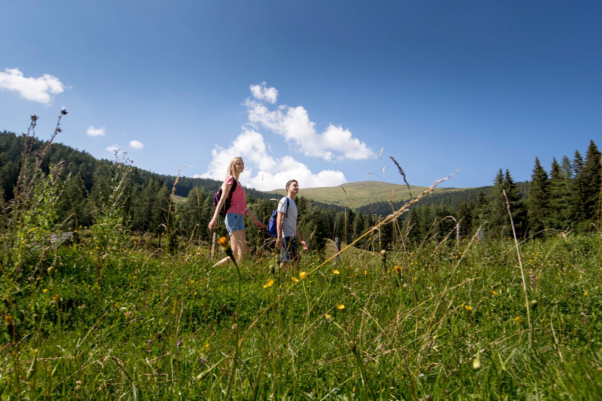
This is a wonderful hike, far away from the main road.
- Difficulty
-
medium
- Rating
-
- Starting point
-
Greimhütte
- Route
-
Greimhütte0.0 kmGreimhütte3.5 km
- Best season
-
JanFebMarAprMayJunJulAugSepOctNovDec
- Description
-
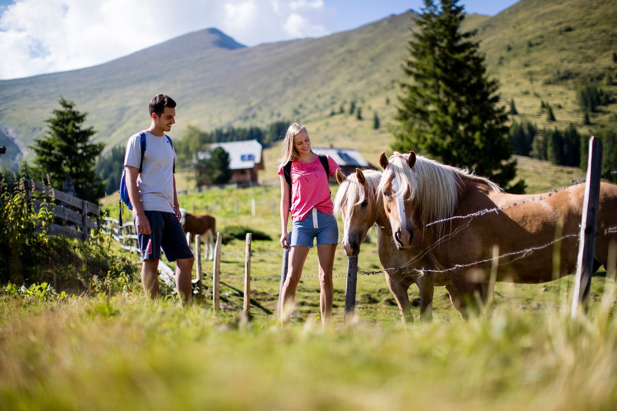
Discover the picturesque landscape around the Greim and recharge your batteries in the mountains of the Murau region. This tour offers fantastic panoramas and guarantees a tasty stop at the Greimhütte. Please pay attention to the alpine animals.
- Directions
-
From starting point S5, you first follow the signs for the “Panorama Hike”. A beautiful panoramic path in the Greim mountain area takes you from the Greimhütte to the Schöneben car park (viewpoint). From there the same path leads back to the starting point.
- Highest point
- 1,719 m
- Endpoint
-
Greimhütte
- Height profile
-

- Equipment
-
Good shoes
Sun protection
Sufficient food - Tips
-
Stop at the Greimhütte (note opening times!)
- Additional information
-
The ideal time for this tour is from May to October.
- Directions
-
Coming from Judenburg via Unzmarkt to Scheifling. Turn right here towards Murau. Keep right in Katsch an der Mur and drive to St. Peter am Kammersberg. Keep right here and drive to Pöllau am Greim. Here the path goes off to the left and leads to the Greimhütte.
From Tamsweg via Ranten drive to St. Peter am Kammrsberg. Keep left here and drive to Pöllau am Greim. The path goes off to the left and leads to the Greimhütte.
- Public transportation
-
With the BusBahnBim app from the interconnected line, timetable information is easier than ever before: all bus, train and tram connections in Austria can be queried by entering locations and/or addresses, stops or important points. The app is available as a free app for smartphones (Android, iOS) - on Google Play and in the App Store.
- Parking
-
Public parking spaces are available directly at the Greimhütte.

- Author
-
The tour Panoramic hike is used by outdooractive.com provided.