© Erlebnisregion Schladming-Dachstein - Schladming Dachstein

© Erlebnisregion Schladming-Dachstein - Schladming Dachstein

© Erlebnisregion Schladming-Dachstein - Schladming Dachstein
© Erlebnisregion Schladming-Dachstein - Schladming Dachstein
© Erlebnisregion Schladming-Dachstein - Schladming Dachstein

© Erlebnisregion Schladming-Dachstein - Schladming Dachstein
- Brief description
-
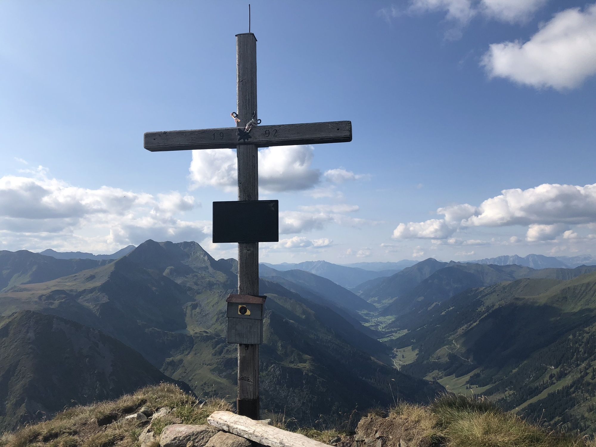
"Fast" 2.000-er directly at the Sölkpass
- Difficulty
-
medium
- Rating
-
- Starting point
-
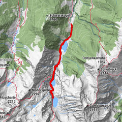
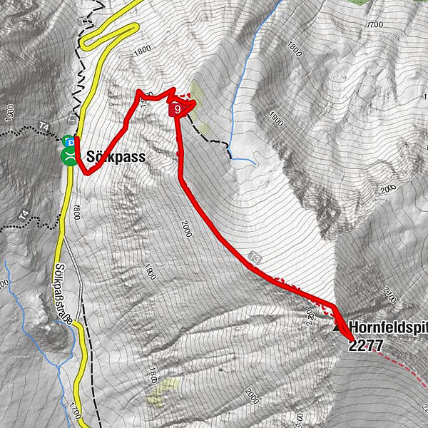
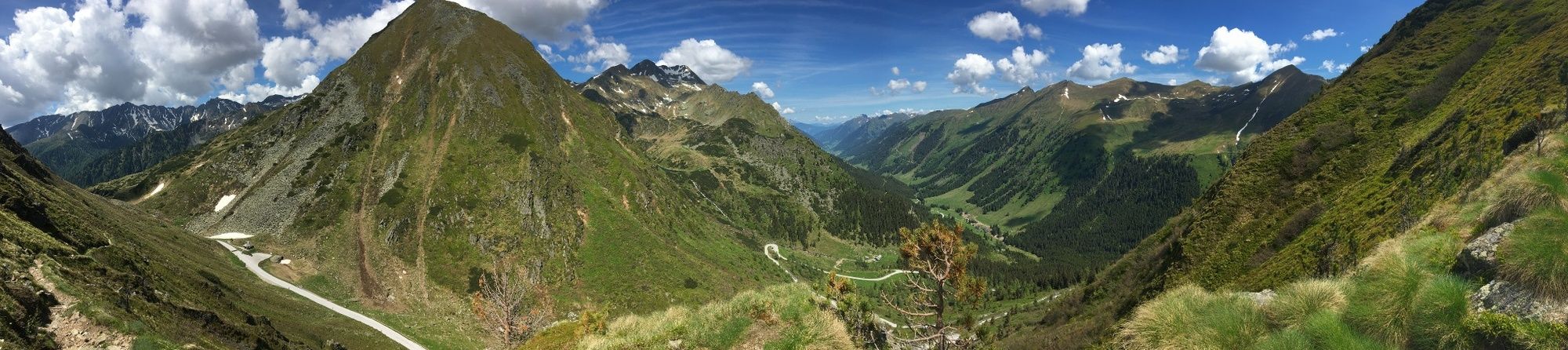
Sölkpass
- Route
-
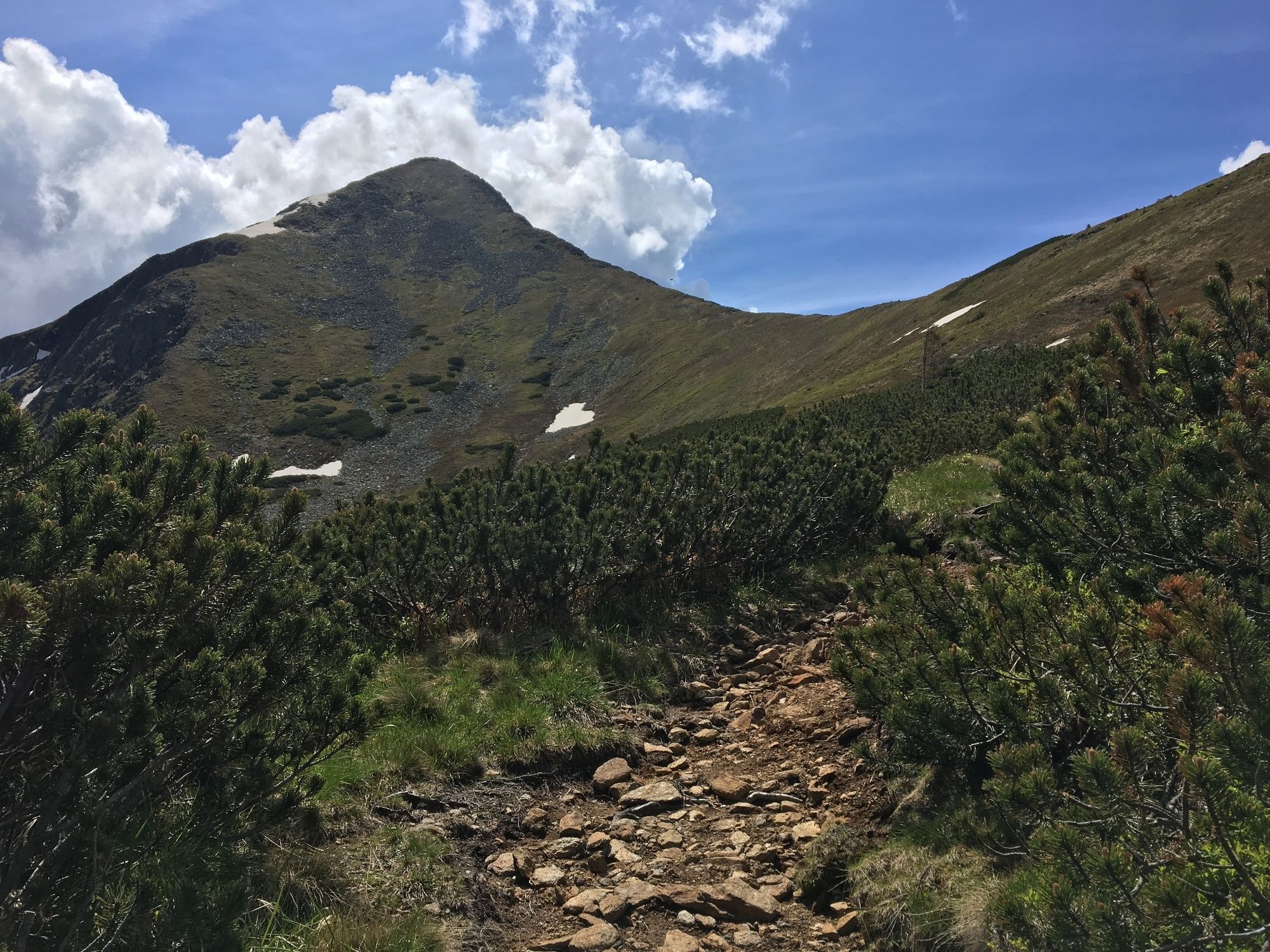
Hornfeldspitz (2,277 m)1.6 km
- Best season
-
JanFebMarAprMayJunJulAugSepOctNovDec
- Description
-
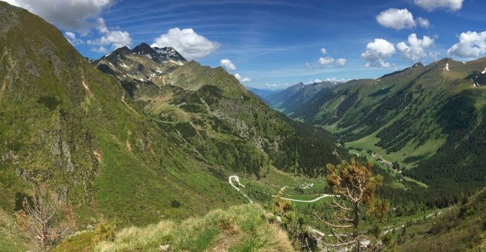
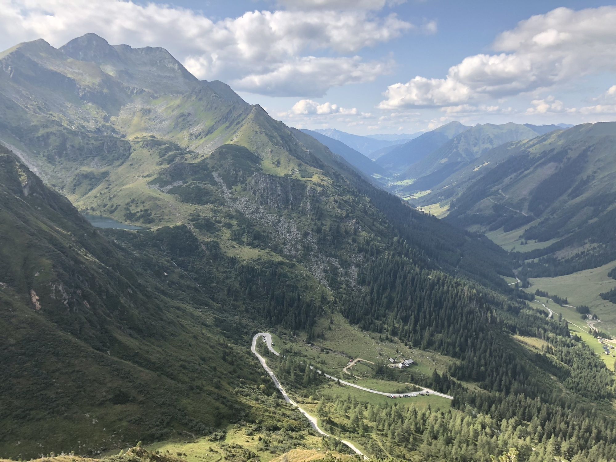
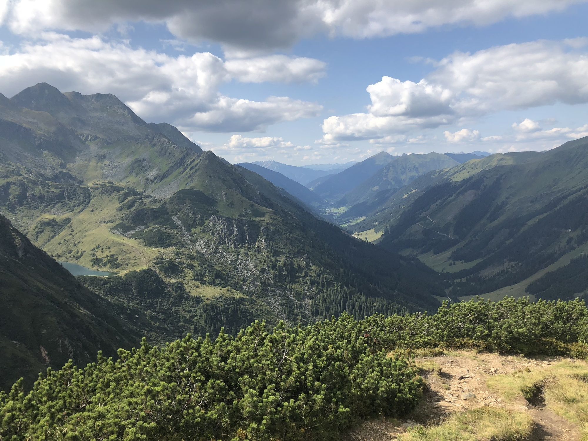
The Sölkpass - the highest pass in Styria - is the starting point for this relatively short ascent to a mountain peak in the Wölzer Tauern.
- Directions
-
The trail begins directly at the Sölkpass Chapel on the east side of the road. The path crosses a hill at the beginning and then leads along a ridge to the summit.
- Highest point
- 2,266 m
- Endpoint
-
Sölkpass
- Height profile
-

- Equipment
-
Sturdy shoes, rain gear
- Safety instructions
-
Surefootedness is required for the summit ascent.
- Tips
-
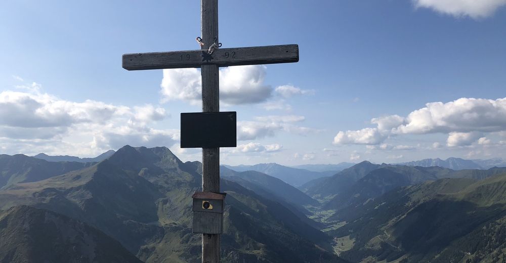
A visit to the Sölkpass Chapel is part of a hike up to Hornfeldspitze.

- Author
-
The tour Hornfeldspitze 2.277m is used by outdooractive.com provided.
GPS Downloads


General info
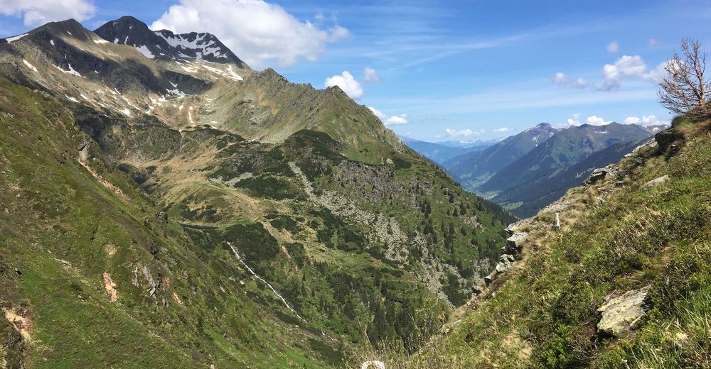
A lot of view
Other tours in the regions