© Fotograf: Volkhard Maier
© Fotograf: Volkhard Maier
© Fotograf: Volkhard Maier
© Fotograf: Volkhard Maier
© Fotograf: Volkhard Maier
- Brief description
-
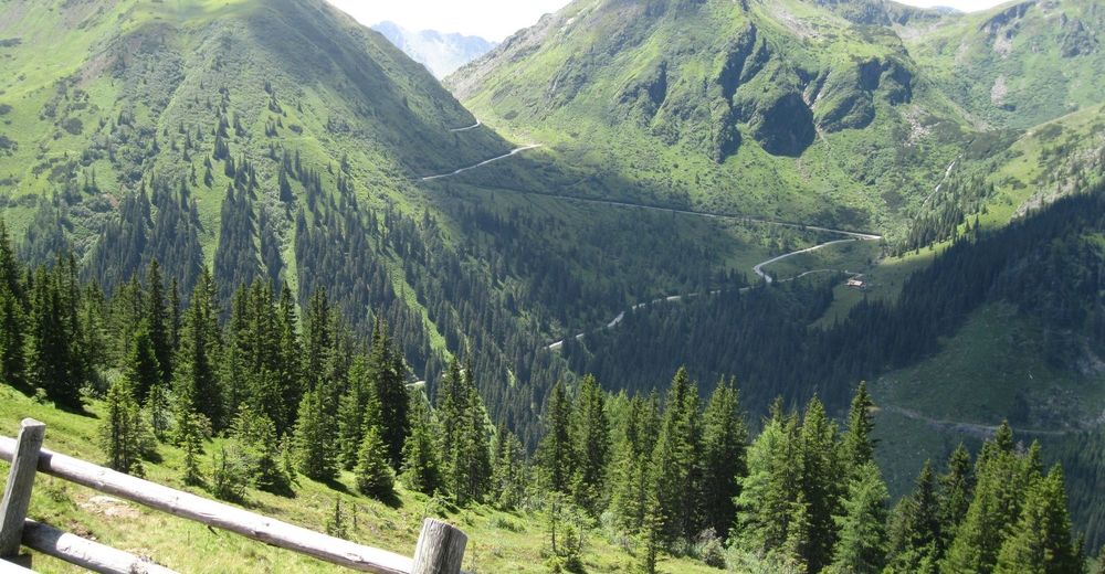
Short circuit hike with beautiful views and stops for refreshments on the edge of the Sölkpass.
- Difficulty
-
easy
- Rating
-
- Starting point
-
Car park Erzherzog Johann hut
- Route
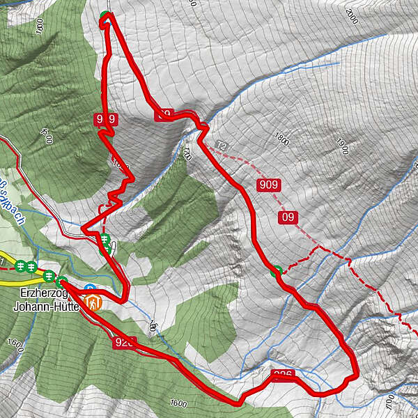
-
Erzherzog-Johann-Hütte3.9 km
- Best season
-
JanFebMarAprMayJunJulAugSepOctNovDec
- Directions
-
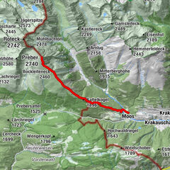
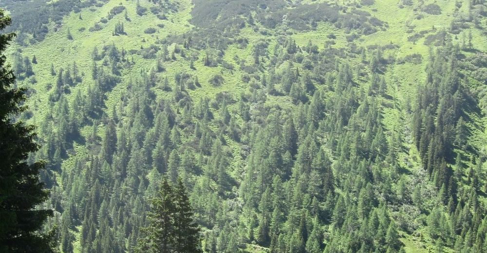
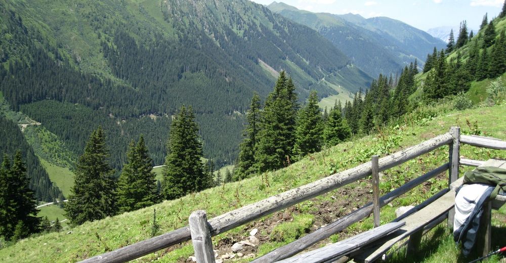
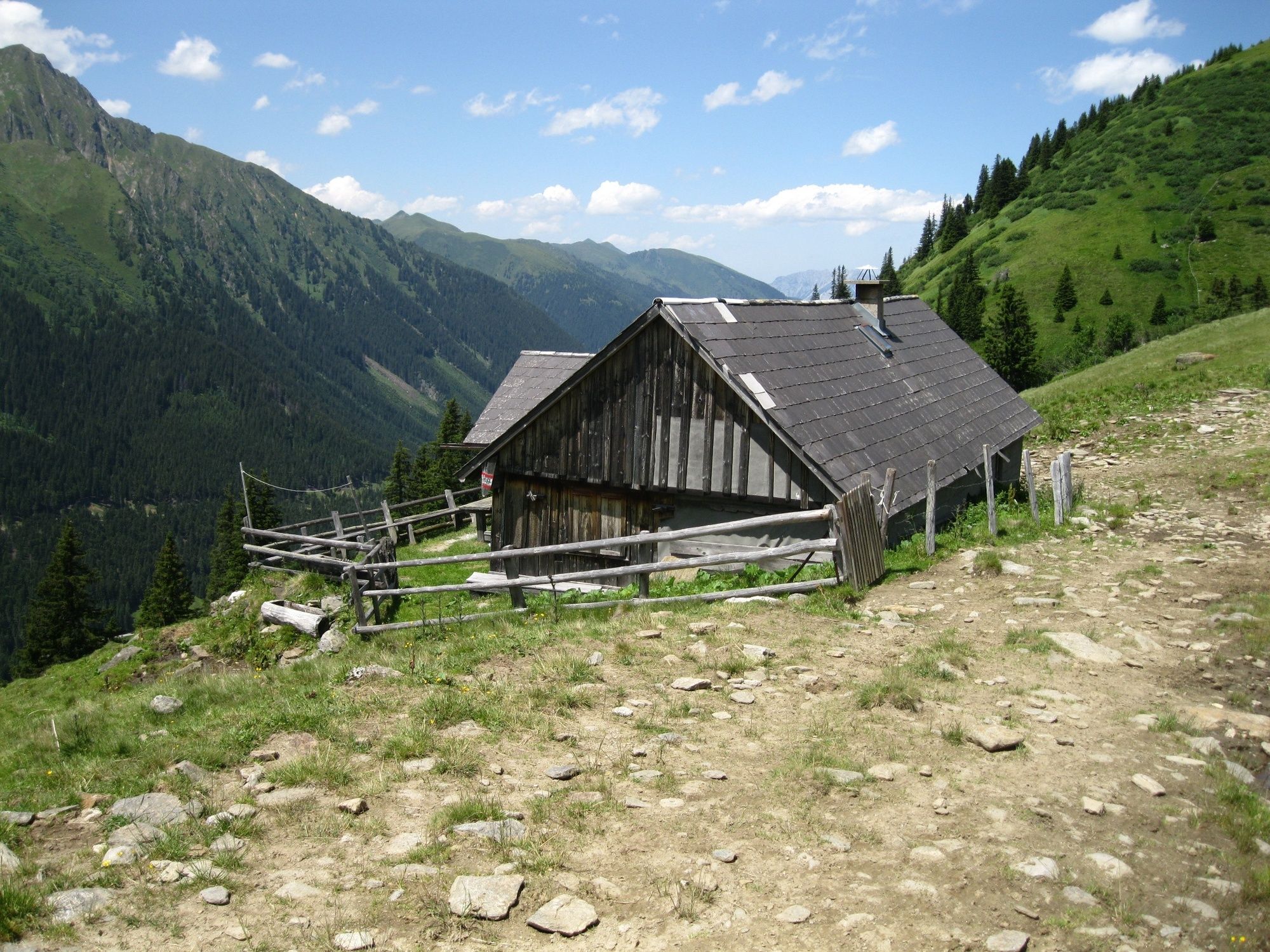
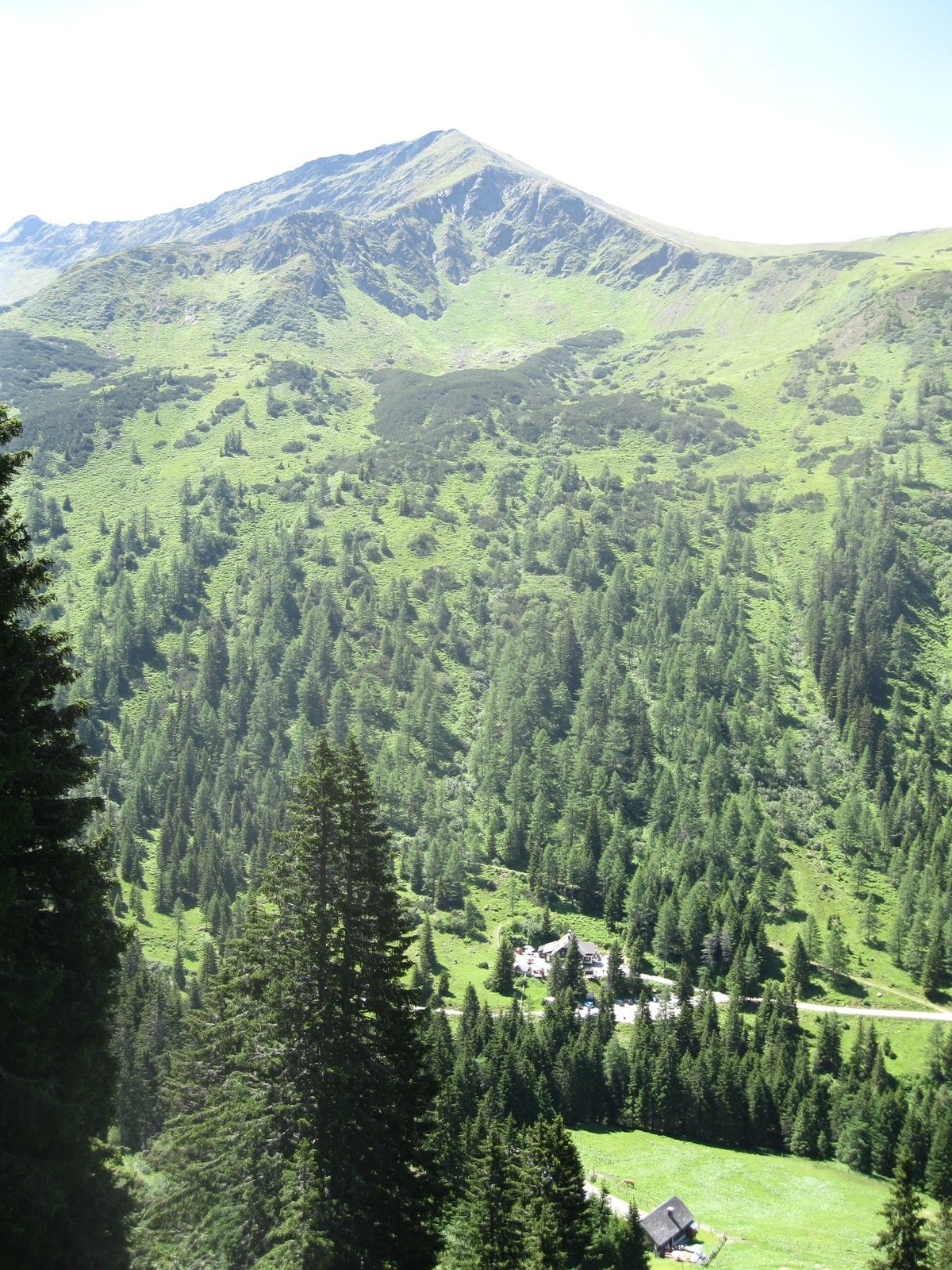
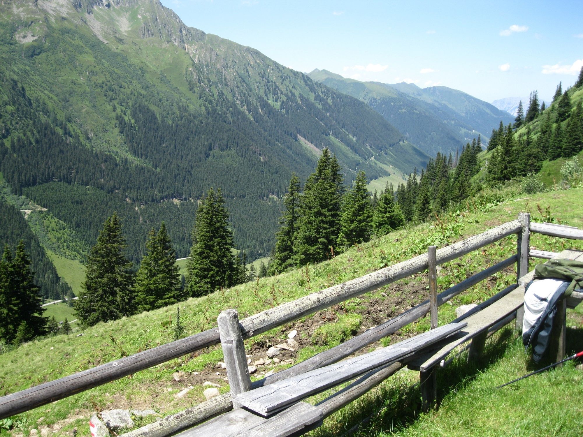
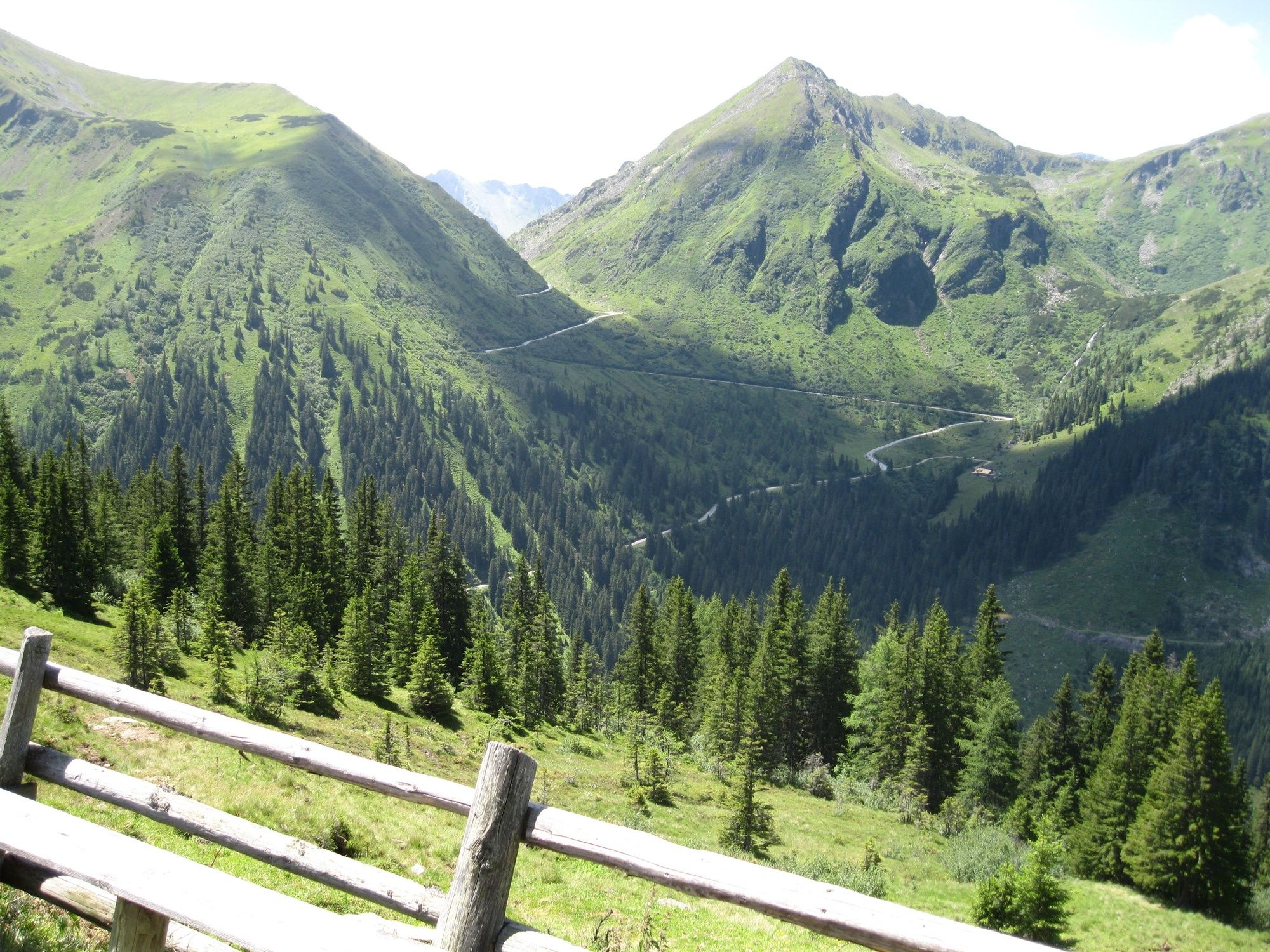
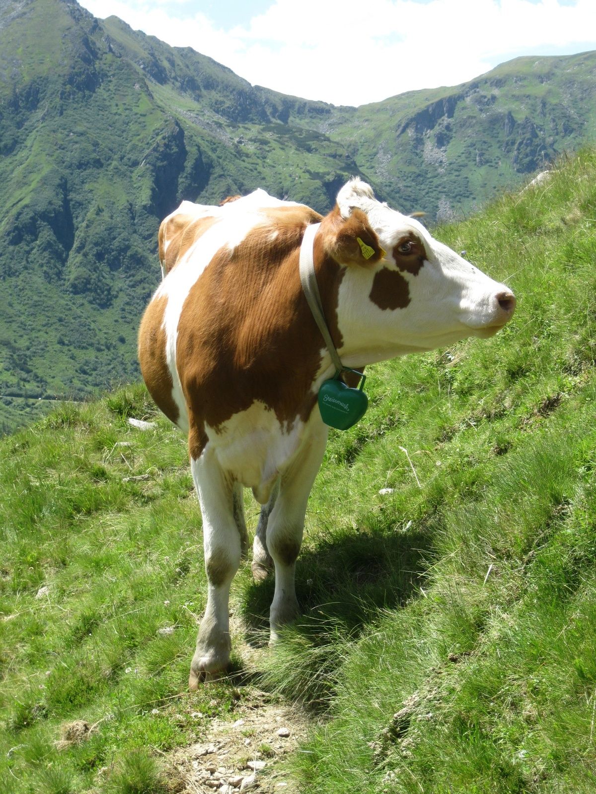
From the car park of the Erzherzog Johann hut follow the road to the Winkleralm. After the Winkleralm, the path leads uphill through the forest. Shortly before the Mahdfeldalm the forest thins out, before you can enjoy the free view to the Deneck and the Großsölktal at the Mahdfeldalm. From the Mahdfeldalm you follow the alpine path south. The path crosses several ditches and leads back to the car park of the Erzherzog Johann hut.
- Highest point
- 1,737 m
- Endpoint
-
Car park Erzherzog Johann hut
- Height profile
-

- Equipment
-
Sturdy shoes
- Tips
-
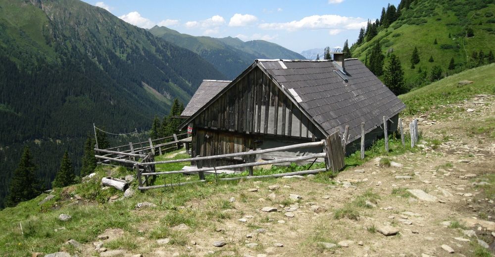
Refreshment possibility at the Erzherzog Johann Hut or at the Winkleralm.
- Author
-
The tour Mahdfeldalm circuit hike is used by outdooractive.com provided.
GPS Downloads


General info
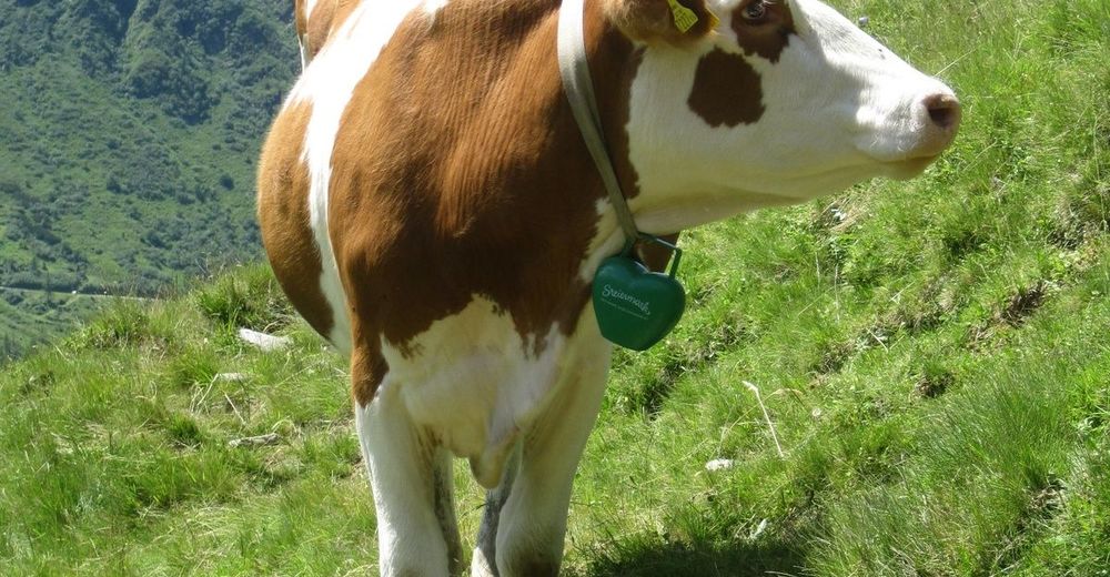
Refreshment stop
A lot of view
Other tours in the regions