
- Brief description
-
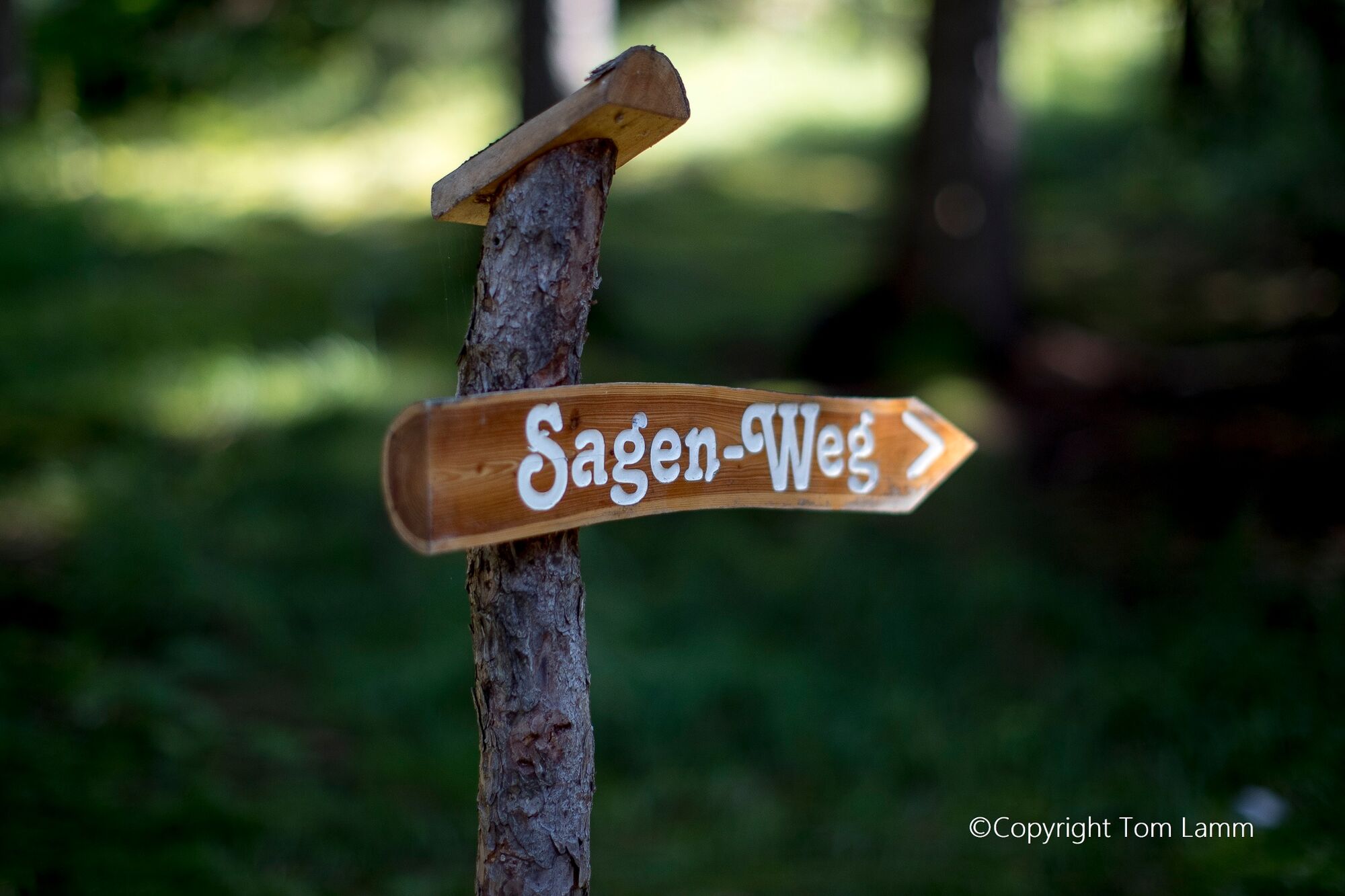
The legend trail "Sagenhaftes Wölzertal" (Legendary Wölz Valley) was planned and designed by the Oberwölz rural youth. The approx. 3 km long circular hiking trail is presented at 10 stations.
- Difficulty
-
easy
- Rating
-
- Starting point
-
Peggesbichlturm - 1st station " Der Nachtwächter"
- Route
-
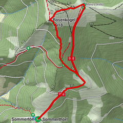
OberwölzLeitnerkapelle0.4 kmBromach2.6 km
- Best season
-
JanFebMarAprMayJunJulAugSepOctNovDec
- Description
-
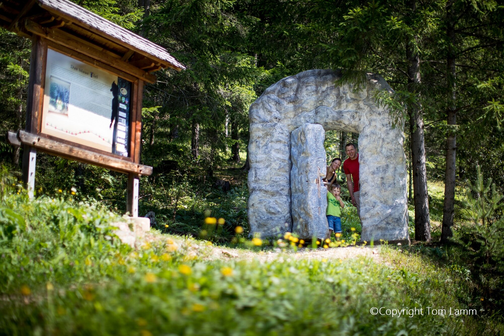
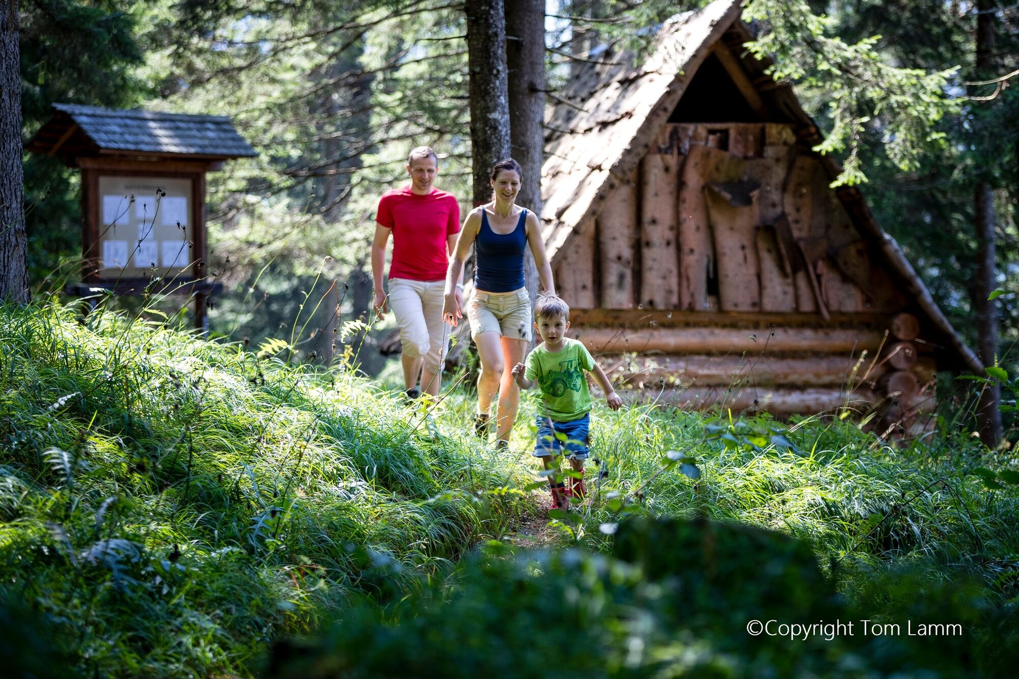
At the larger-than-life sculptures, an original replica of a wooden servant's hut, a children's playground in the form of a lindworm, as well as other attractions, you can experience the mystical legends up close. The imaginative drawings of the school children from Oberwölz literally bring the legends to life.Of course, recreation is not neglected, tables and benches invite you to linger. The scent of the forest, a magnificent view of the town of Oberwölz make the circular walk a pleasant stroll. The legends have been translated into English and Hungarian. These brochures as well as the folder Themed Trails are available free of charge at the tourist office Oberwölz-Lachtal. The tour is considered the region's guiding trail around the mountain personality "Lachtaler Zinken" on the subject of hiking and symbolizes one of the 8 guiding offers in the Murau adventure area.
- Directions
-
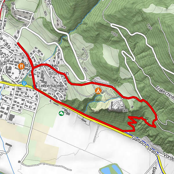
The tourist office is located on the northern main square in the town fortification. Here you can get information material about the Sagenweg.After the Schötteltor you can park your car. Then turn right and follow the road. At the crossroads Salchau/ Lachtal you will find the 1st station (The night watchman)/ starting point of the trail on the right under the road at the Peggesbichlturm. Follow the road to the right, you will see the Neugassentor on the left, but continue walking to the right, here the road drops a little. At the end of the road (crossing Hauptstraße) you will find the 2nd station "Die Wildfrauen" on the right by the chapel. Turn left, keeping to the pedestrian path. This then turns into a bicycle and pedestrian path and rises slightly for a short distance. Continue along the path, looking out for the station on the left of the path. From station 4 (The Blue Gate) the path continues through the forest. Attention it goes uphill. Keep to the paved path. Follow the signs until you reach an asphalt road again. After Rothenfels Castle at the camping site you will find the café in the garden Rothenfels stop or pass by in the direction of the crossroads. On the left in front of it a playground (Lindwurm-Station 9) and on the right a small rest area. Now follow the gravel road further to station 10 (Hollywood swing). Follow the road straight ahead through a residential area until you reach the Neugassentor.
- Highest point
- 933 m
- Endpoint
-
10th station "Die Hollywoodschaukel" southwest of the campsite Rothenfels
- Height profile
-

- Equipment
-
good shoes
Drinking bottle
possibly snack
camera
- Safety instructions
-
Stay on the paved and marked paths.Only partially suitable for baby carriages
- Tips
-
Inhale the wonderful forest air and experience the mystical legends of Oberwölz.Special stop at the "Café im Garten-Rothenfels".
- Additional information
-
If you are looking for more action, the high ropes course in Oberwölz offers a great alternative. If you are interested in culture, a visit to the Austrian Blasmuikmuseum and Heimatmuseum in Oberwölz is worthwhile. The historic town of Oberwölz has a lot to tell, a guided tour is highly recommended.
You can find more information at the tourist office Oberwölz, which is located at the northern end of the main square. www.oberwoelz-lachtal.at
- Directions
-
Coming from Judenburg via Unzmarkt to Scheifling. Here turn right in the direction of Murau. In Niederwölz turn right towards Oberwölz.
Coming from Murau via Teufenbach to Niederwölz, turn left towards Oberwölz.
Coming from Tamsweg, drive via Ranten, to St. Peter am Kammersberg and via Pöllau am Greim to Oberwölz.
- Public transportation
-
With the BusBahnBim app from the interconnected line, timetable information is easier than ever before: all bus, train and tram connections in Austria can be queried by entering locations and/or addresses, stops or important points. The app is available as a free app for smartphones (Android, iOS) - on Google Play and in the App Store.
- Parking
-
You have the following parking possibilities:
- below the parish church in Oberwölz
- At the leisure center in Oberwölz
- Above the town (parking spaces to the right of the Schötteltor)
You can use the parking spaces in Oberwölz free of charge.
- Author
-
The tour Legend trail Oberwölz is used by outdooractive.com provided.