- Brief description
-
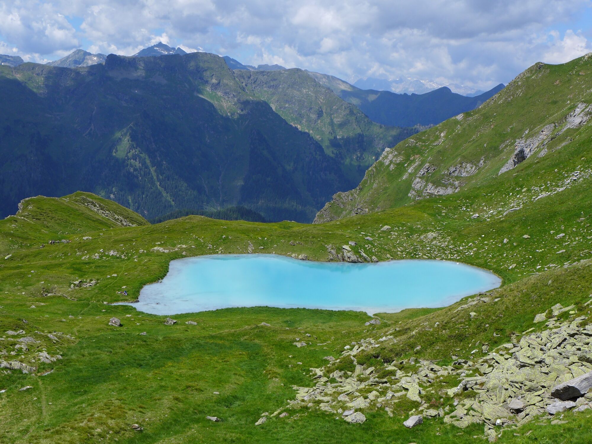
Beautiful crossing with a Carribean feeling at the Seekarlsee.
- Difficulty
-
medium
- Rating
-
- Starting point
-
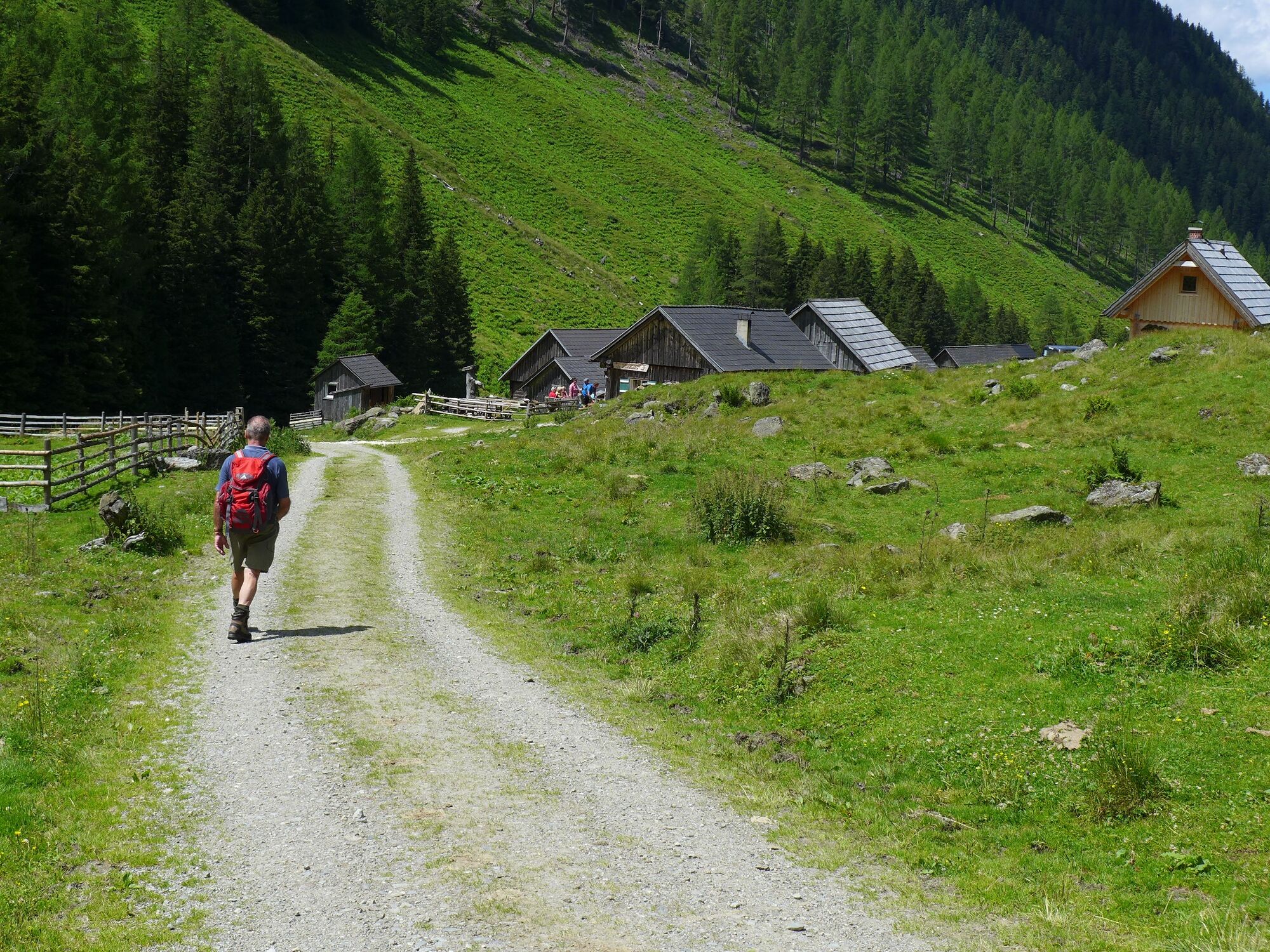
Restaurant Gamsjäger in St. Nikolai
- Route
-
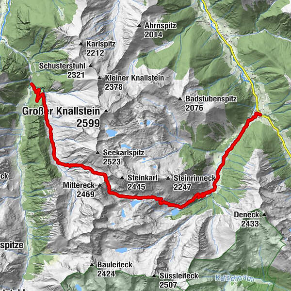
Zum Gamsjäger0.1 kmSankt Nikolai im Sölktal0.1 kmPfarrkirche hl. Nikolaus0.2 kmMelk8.2 kmSeekarlscharte (2,302 m)9.4 kmKöckhütte12.1 kmTuchmoaralm12.2 km
- Best season
-
JanFebMarAprMayJunJulAugSepOctNovDec
- Description
-
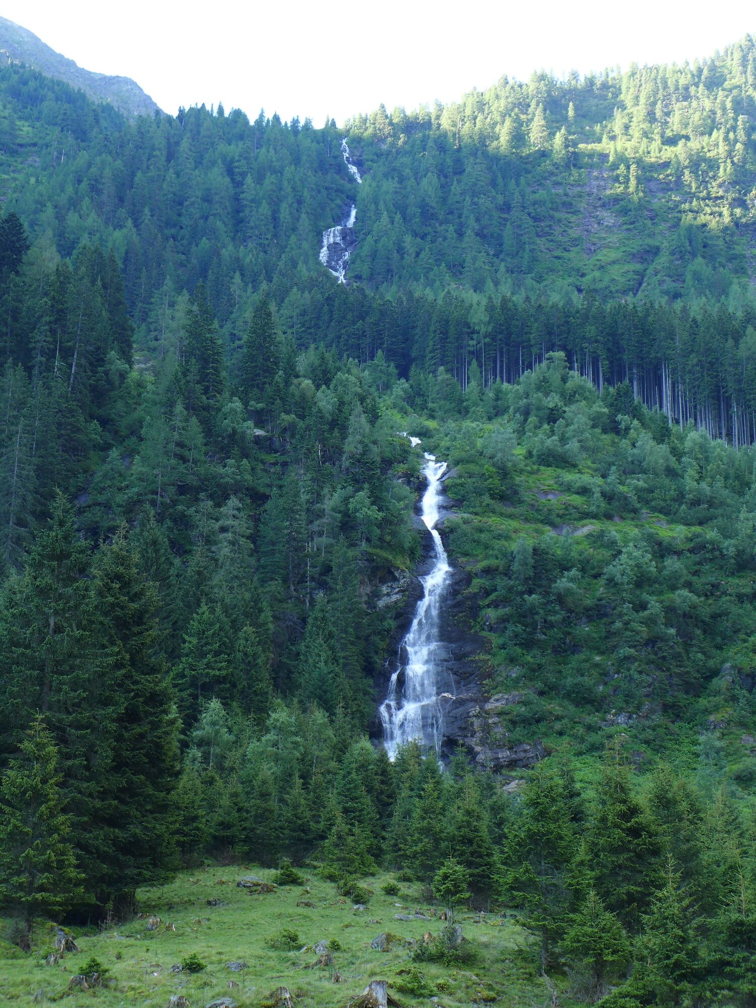
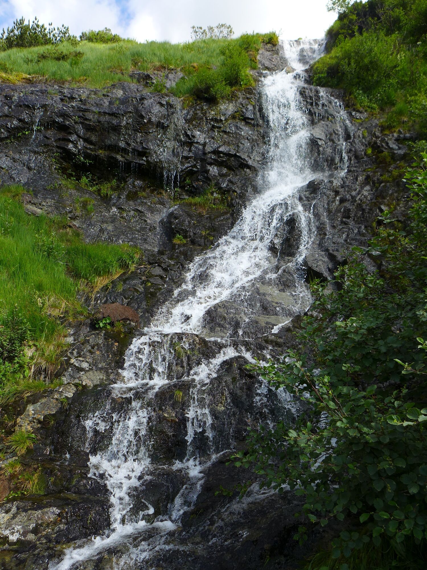
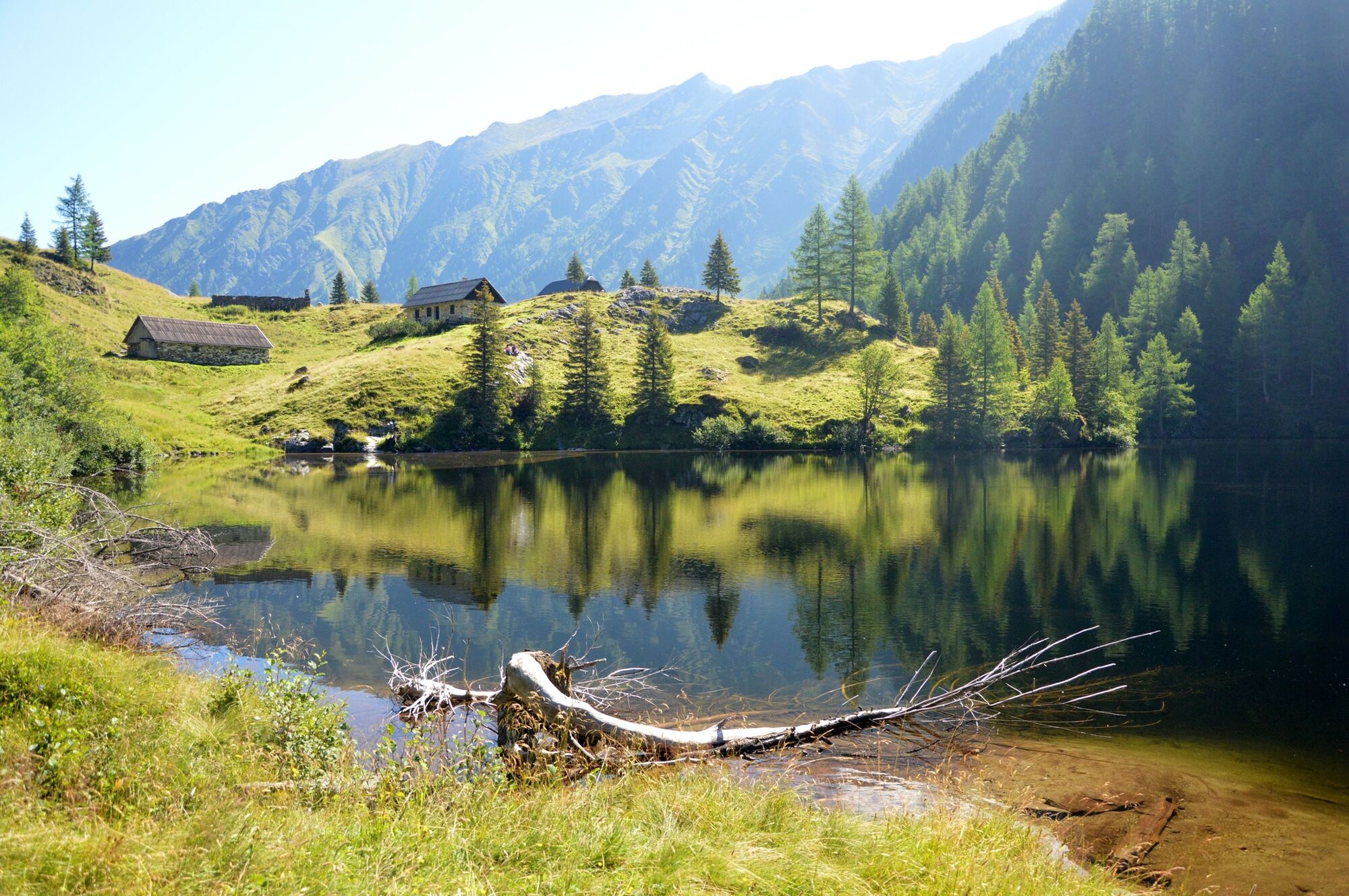
Water in all its variations is the constant companion on this transgression. Natural meanders at the Bräualm, Dürrmooswasserfall, Hohensee, Schwarzensee and Grünsee during the ascent to the Seekarlscharte. On the Seekarlscharte the view to the turquoise Seekarlsee is clear - Caribbean feeling guaranteed.
Dear hikers, enjoy the uniqueness of this landscape and please take care of it! Please bring your garbage back into the valley. No pollution in the lake. Please do not go into the water and bathe! Otherwise, the lake bottom will be clearly dark discoloured as a result of turbulence. Thanks to your common sense, the uniqueness and beauty will be preserved for everyone. Thank you very much! The Nature Park Team and the Alm Community
- Directions
-
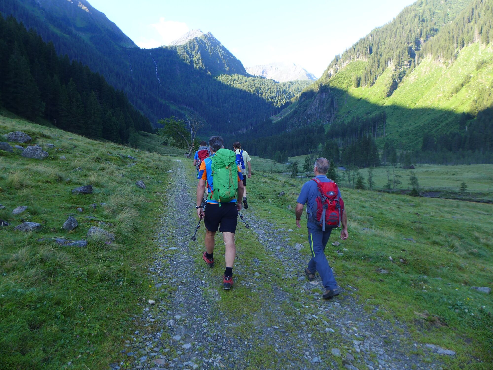
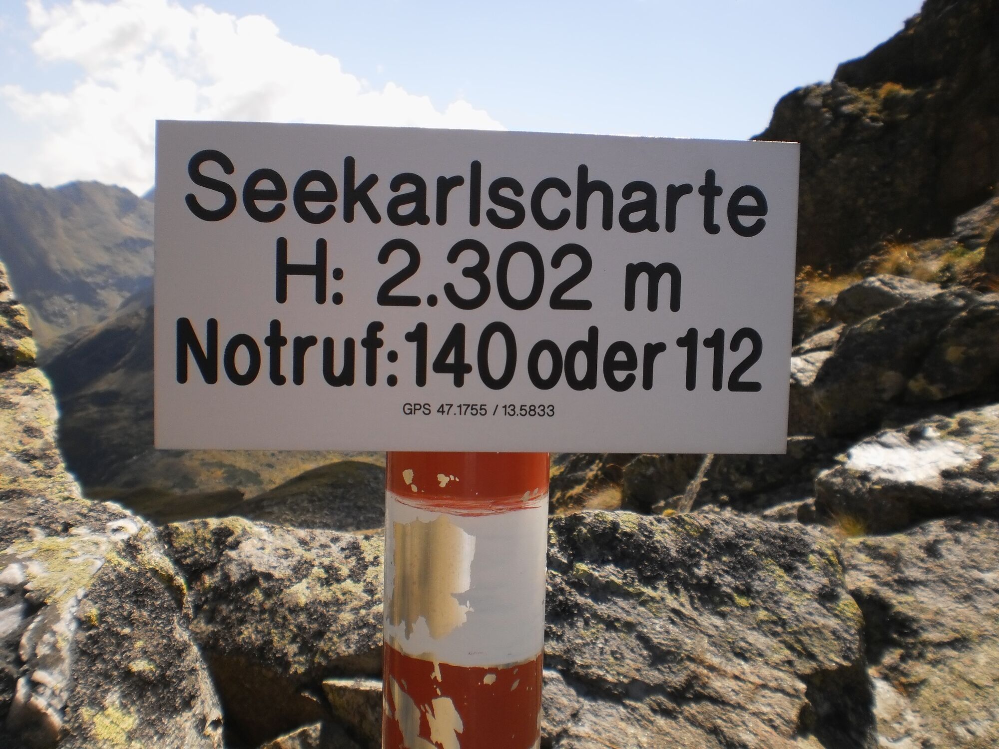
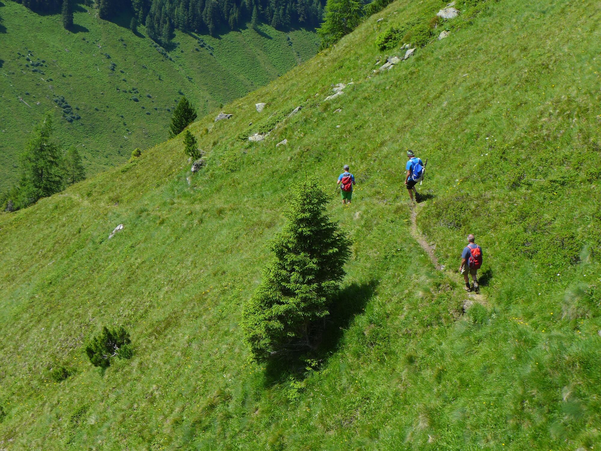
From the Gamsjäger Inn (valley bus stop) in St. Nikolai, follow path 702 along the natural meanders at the Bräualm, past the Dürrmooswasserfall to Hohensee. Here path 790 branches off to the right in the direction of Seekarlscharte. A steep step leads to a small plateau with the Schwarzensee (not to be confused with the Schwarzensee in the Kleinsölker Obertal). A little off the beaten track, the Grünsee emerges. In Melk the terrain becomes steeper again, over stony terrain it goes towards Seekarlscharte. At the last meters to the saddle, sure-footedness is required. On the Seekarlscharte (2.302m) the highest point of the tour is reached and the view to the turquoise Seekarlsee becomes clear.
Soon the Seekarlsee is reached. The extreme turquoise colour of the lake conveys a Caribbean feeling at 2,140m above sea level. After the Seekarlsee it goes over Almwiesen downhill. From 1.900m above sea level the terrain becomes steeper. In serpentines it goes to the Tuchmoaralm (1.509m). The Köck hut and the Blasenalm invite you to stop for a bite to eat.
From the Tuchmoaralm the trail 790 follows the forest road to the car park and to the valley bus stop at the barrier near the road into the Strieglertal (Kleinsölker Untertal).
- Highest point
- 2,296 m
- Endpoint
-
Car park Tuchmoaralm in Kleinsölkner Strieglertal (Kleinsölkner Untertal)
- Height profile
-

- Equipment
-
Take rainproof and warm clothes and enough water, possibly also a snack, wear shoes with non-slip profile soles. A first aid kit should also be in your backpack.
- Safety instructions
-
In the area of the Bräu- and Tuchmoaralm you can meet free-roaming grazing cattle. Caution is required, especially with dogs. Surefootedness required!
Weather changes, rapid drop in temperature, thunderstorms, wind, fog and snow fields are objective dangers and require the right behavior on the way. Hut keepers are experienced mountain connoisseurs, they can give good tips on the weather and the course of the trail. Lack of equipment, overestimation of one's own abilities, carelessness, poor physical condition and a wrong assessment can lead to critical situations. During thunderstorms: avoid peaks, ridges and rope belays at all costs.
GPS data and orientation aids:
Available GPS data - as well as hiking maps - are only an orientation aid, since they can never represent an exact image or the richness of detail of a path in reality. Especially in the case of danger spots, it must therefore always be decided in the end on the basis of the conditions on site whether and how the further course of the path looks like.In case of emergency, please dial the following emergency numbers:
140 - for alpine emergencies - Austria-wideNo.
112 - Euro emergency call GSM emergency call service - Tips
-
Refreshments are available at the huts on the Tuchmoaralm!
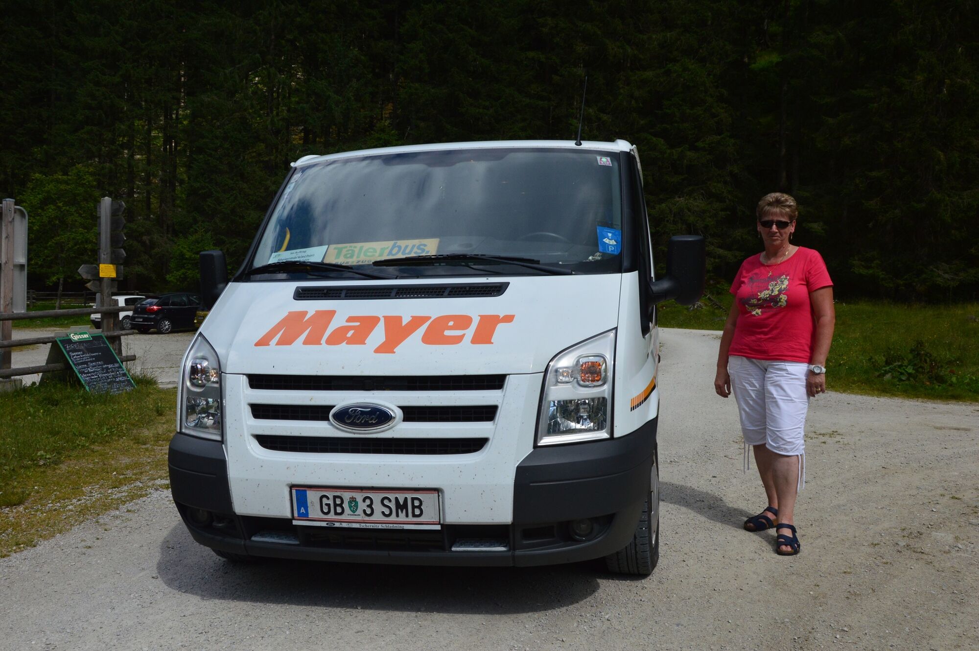
For the crossing the use of the valley bus is highly recommended! More information here!
SummitLynx - Your digital summit and hut book - available worldwide and always with you!
- Additional information


- Author
-
The tour Seekarlscharte is used by outdooractive.com provided.