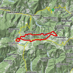
- Brief description
-
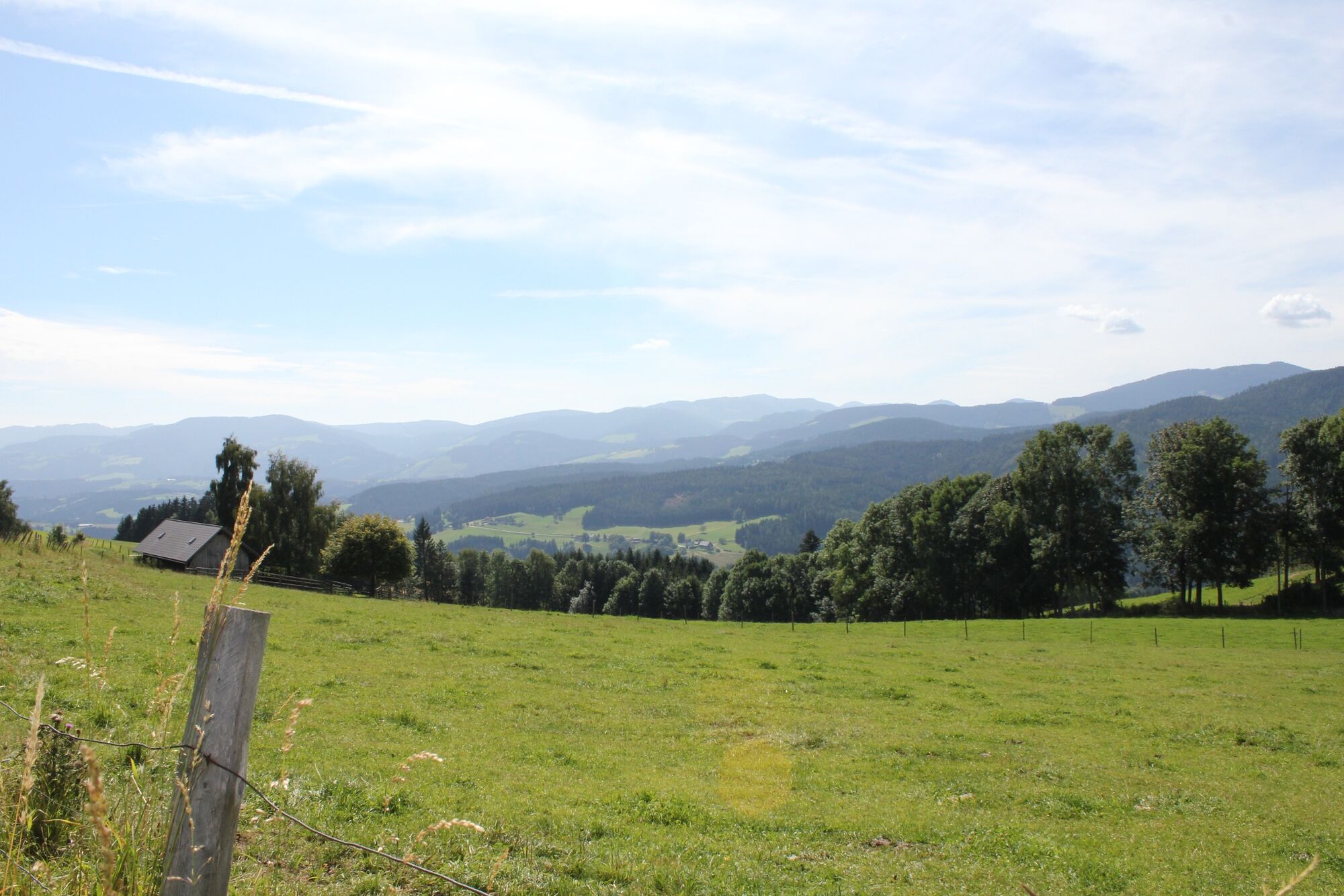
A beautiful hike with a great view.
- Difficulty
-
medium
- Rating
-
- Starting point
-
Posch snack station, Strallegg
- Best season
-
JanFebMarAprMayJunJulAugSepOctNovDec
- Description
-
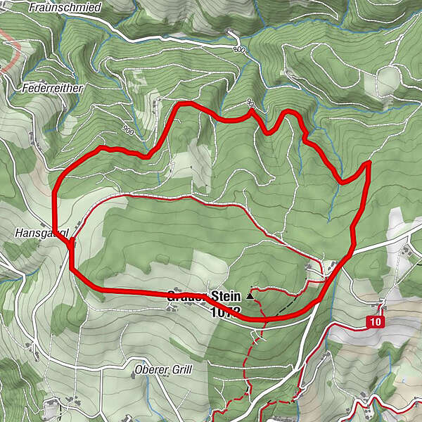
The family-friendly hiking trail with an excellent view of the Fischbach Alps to the north leads us at an altitude of about 1000 m through the forests and across the meadows around the "Grauen Stein". The longer trail leads over the "Hölle" to the "Holzeckkreuz" and over the "Rinderhöfe back to the Jausenstation Posch" (marking no. 43). There is also a shorter variant (altitude difference 82 meters, marking 43 a).
- Directions
-
We start at the snack station Posch From there we follow the path nr. 43 When we come out of the forest we can enjoy a magnificent view We follow the path nr. 43 until we are back at the snack station Posch.
For a shorter variant, instead of the path n. 43, choose the marking 43a.
- Highest point
- 1,038 m
- Endpoint
-
Posch snack station, Strallegg
- Height profile
-

- Equipment
-
- Small backpack with water bottle (+ provisions)- Sturdy shoes- Appropriate clothing - if possible several layers - "onion principle".- Rain and sun protection- Walking sticks as required- Mobile phone- Small first aid kit- Route description- Before starting the hike, check the possibilities for refreshments, including opening times, or pack appropriate food.
- Safety instructions
-
European emergency call: 112
Emergency call mountain rescue: 140 (if possible please provide GPS data)
Rescue: 144
Fire brigade: 122
Police: 133
A few tips on correct and fair behaviour in the forest: (Source: www.bundesforste.at )
Hikers should avoid visits to the forest about 1.5 hours before sunrise and after sunset, as wild animals are particularly active during this time.
Plastic bottles, handkerchiefs, cigarette butts etc. have no place in the forest! Please make sure that you do not leave any rubbish in the forest.
Camping and lighting fires are strictly forbidden in the forest!
In principle, every person is allowed to pick 2 kg of mushrooms and berries per day for personal use. It is only prohibited if the forest owner expressly forbids it.
- Tips
-
A short detour (approx. 20 min.) to the summit cross of the "Grauer Stein" is worth it!
- Additional information
- Directions
- Public transportation
- Parking
-

-
AuthorThe tour Long-distance view path, Strallegg is used by outdooractive.com provided.


-
Hochsteiermark
4072
-
Joglland - Waldheimat
1511
-
Strallegg
331