Stage 24 From Glacier to Wine South Route Ratsch an der Weinstraße - Ehrenhausen


- Brief description
-
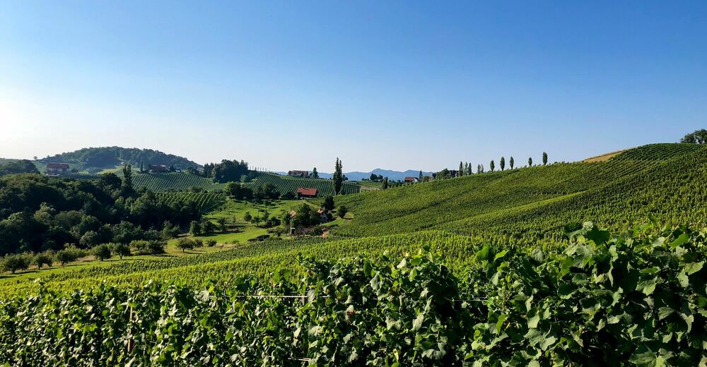
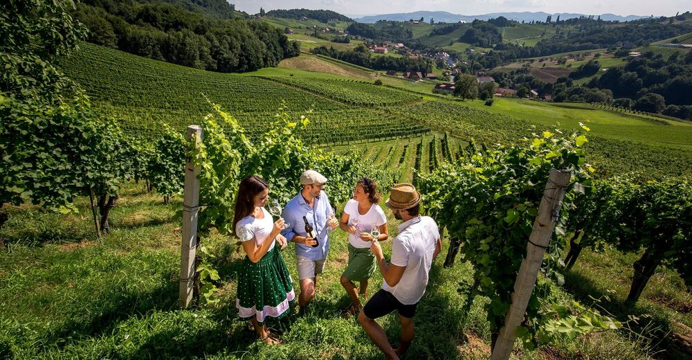
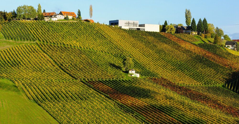
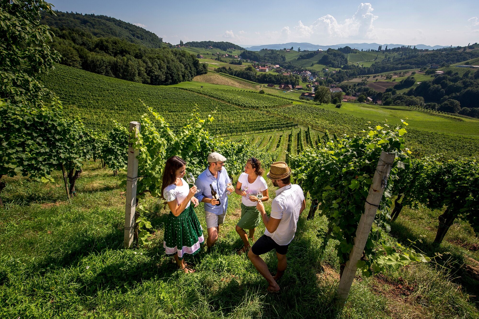
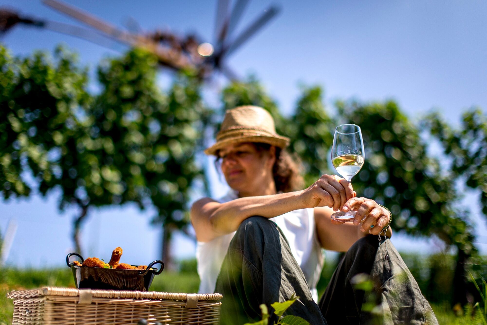
This stage of the hiking route "From glacier to wine" leads us right through the South Styrian wine country. The claim that the last stages of the southern route here in the Südsteiermark Nature Park are becoming more and more economical also has to do with the increasing density of wine estates, vinotheques and Buschenschänken with great views. Particularly worth seeing: The Genussregal near Ehrenhausen, which is dedicated to the delights of the region and interactively conveys with more than 40 tasting stations how high-quality raw products are processed into unique foods such as oil, wine or vinegar.
- Difficulty
-
easy
- Rating
-
- Starting point
-
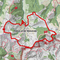
Ratsch an der Weinstraße
- Route
-
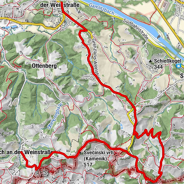
UrbanikapelleRatsch an der Weinstraße0.0 kmPruh3.3 kmBuschenschank Gallunder3.6 kmZieregg4.1 kmPlatsch (510 m)5.3 kmBuschenschank Neubauer6.1 kmBuschenschank Polz6.1 kmGraßnitzberg9.0 kmEwitsch11.5 kmEhrenhausen an der Weinstraße13.7 kmPfarrkirche Schmerzhafte Mutter Maria13.8 km
- Best season
-
JanFebMarAprMayJunJulAugSepOctNovDec
- Description
-
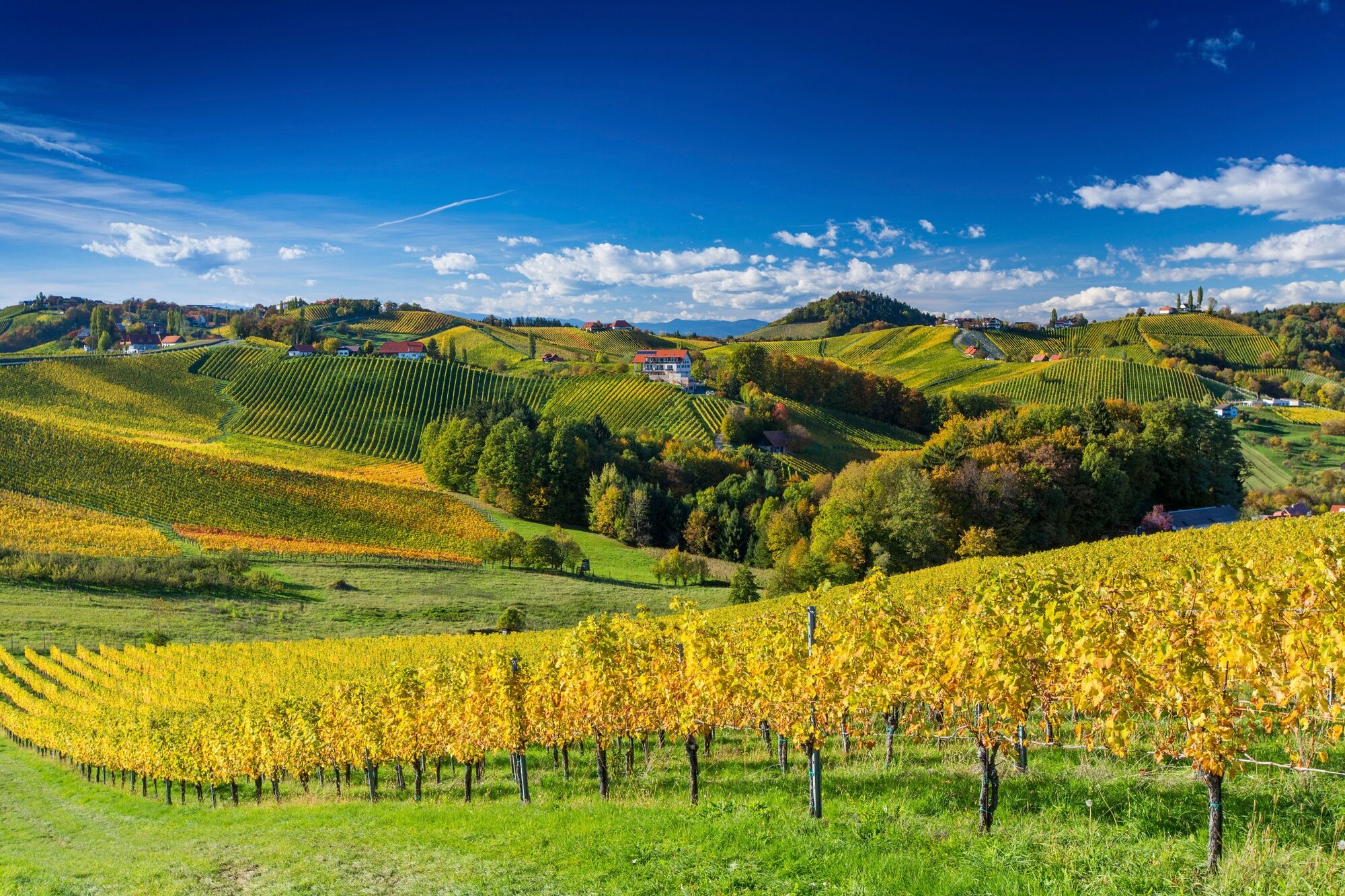
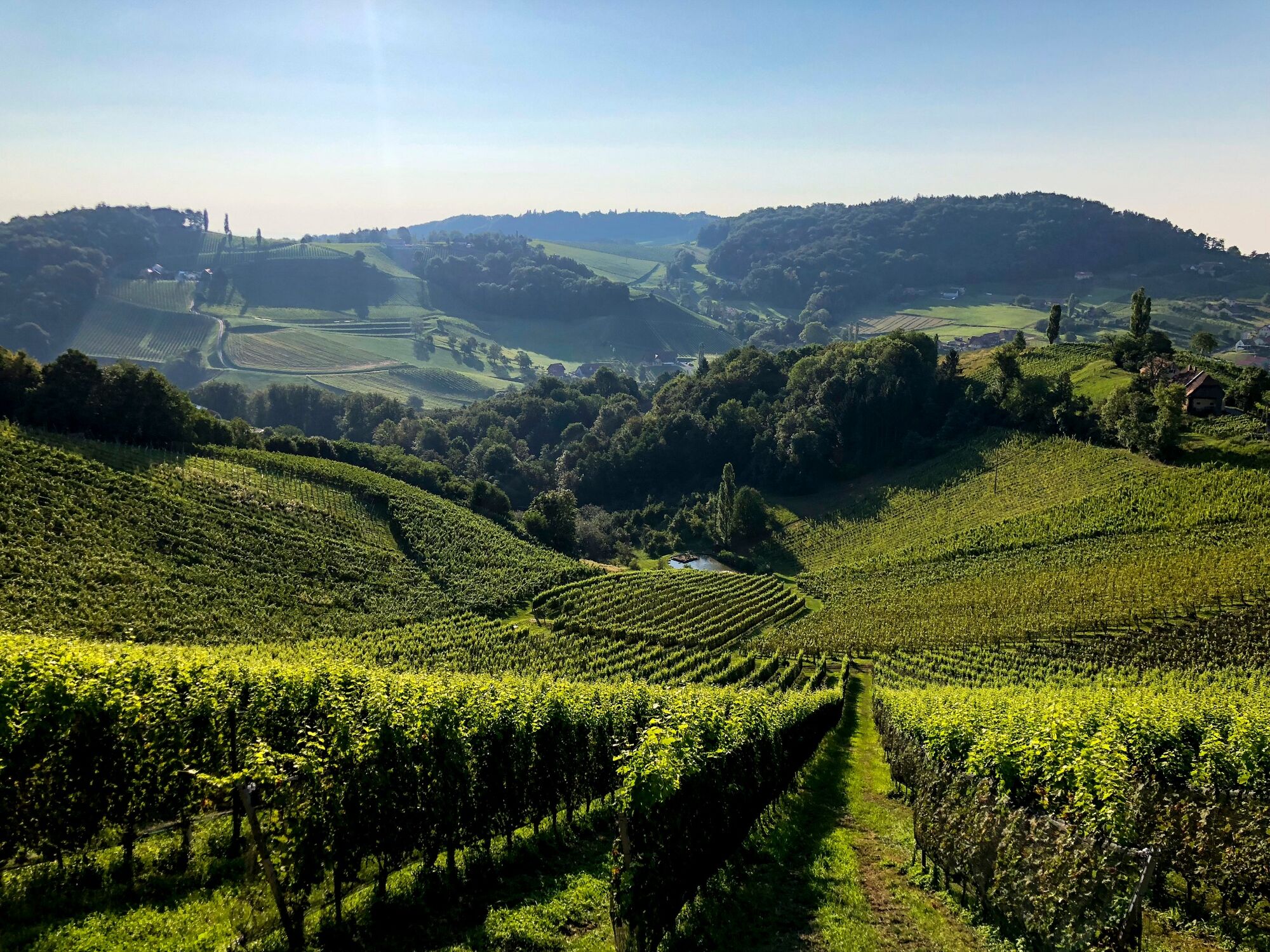
The Südsteiermark Nature Park stands for fragrant, fresh wines. The leading variety is now Sauvignon Blanc, but on the approximately 2,500 hectares of vineyards there is enough room for a wide range of varieties, from Welschriesling to Morillon and Muskateller to Traminer. The soils available in southern Styria are as diverse as the grape varieties. They range from sand and slate to marl and limestone. The warm, humid Mediterranean climate determines the long course of vegetation, and the cool nights promote the development of a rich aroma that helps the white wine varieties to develop a wealth of nuances.
- Directions
-
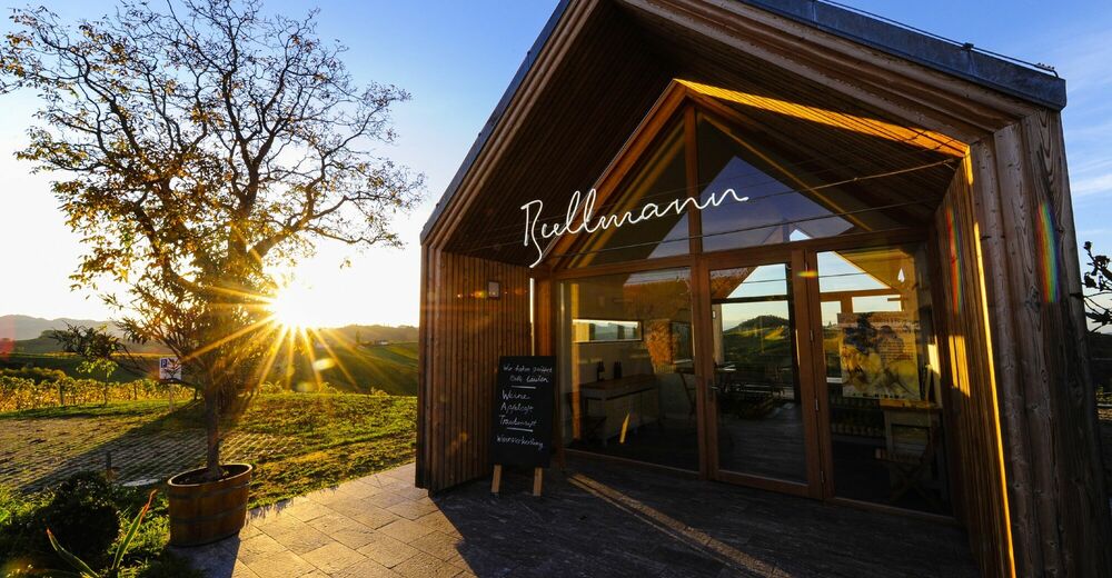
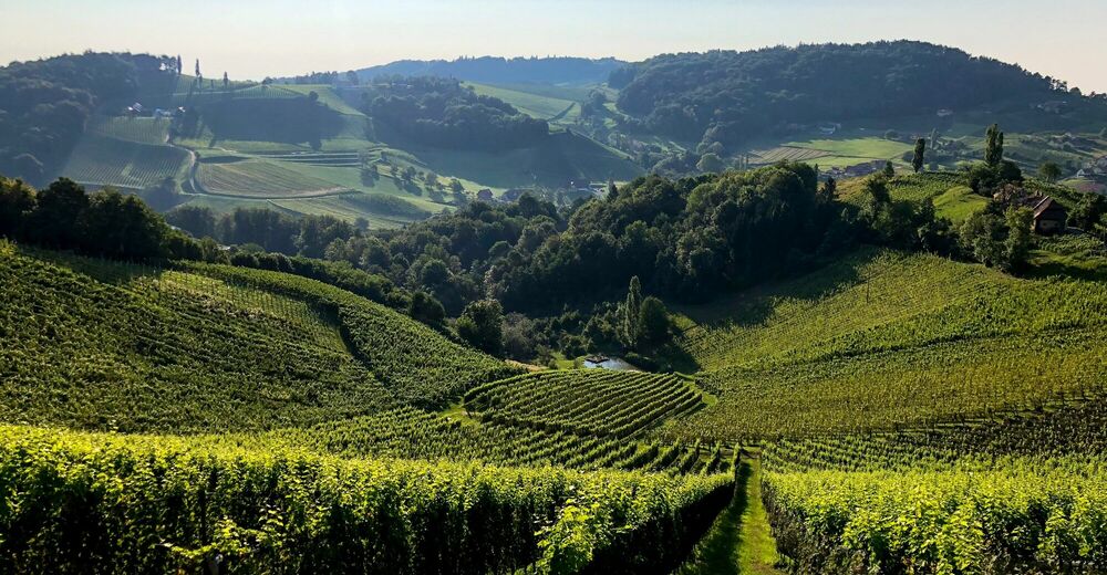
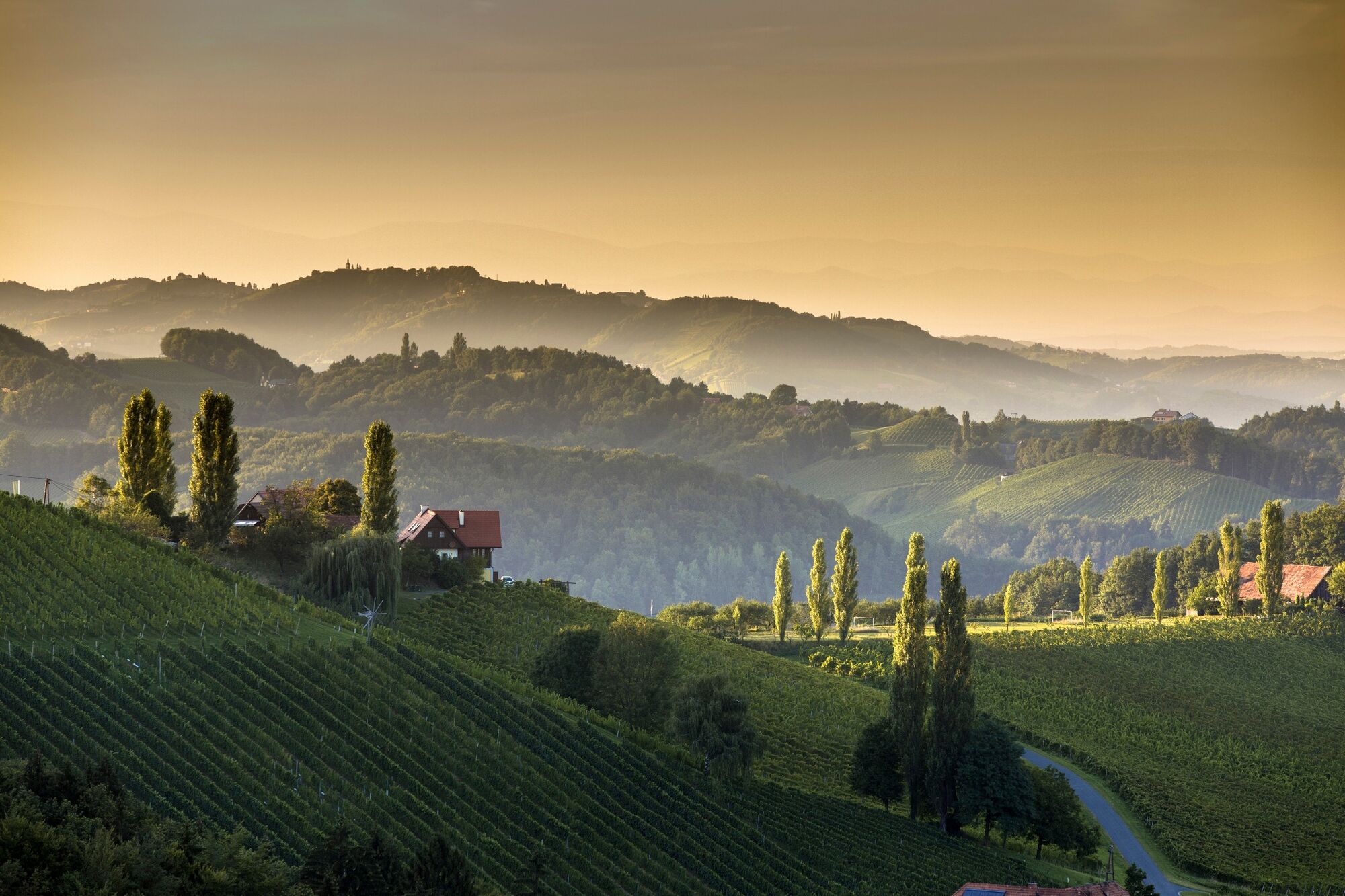
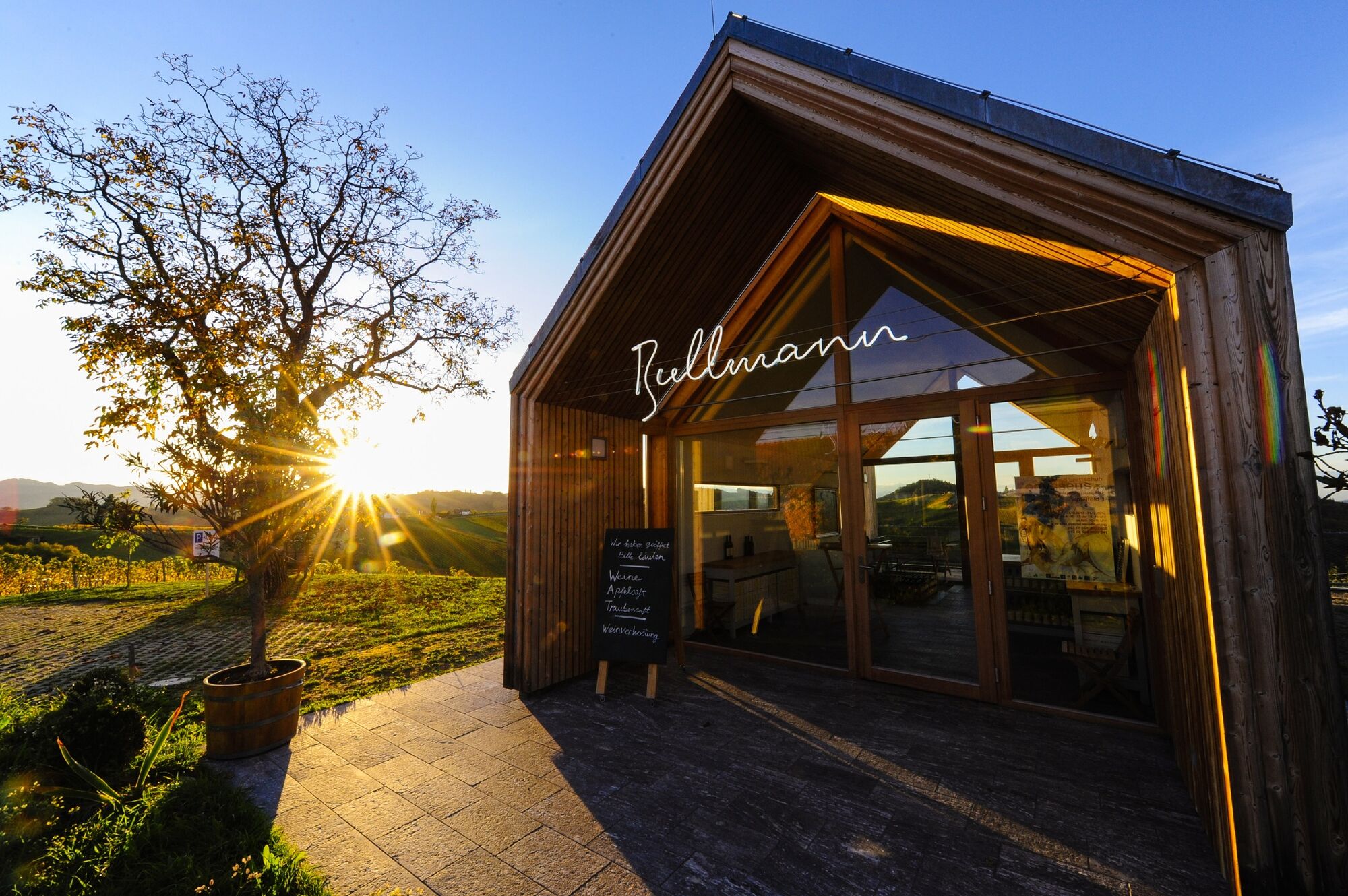
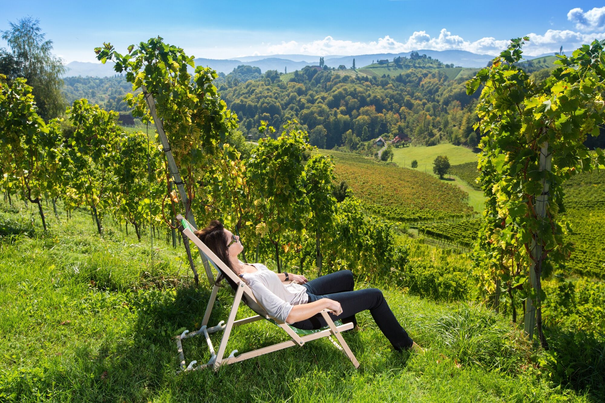
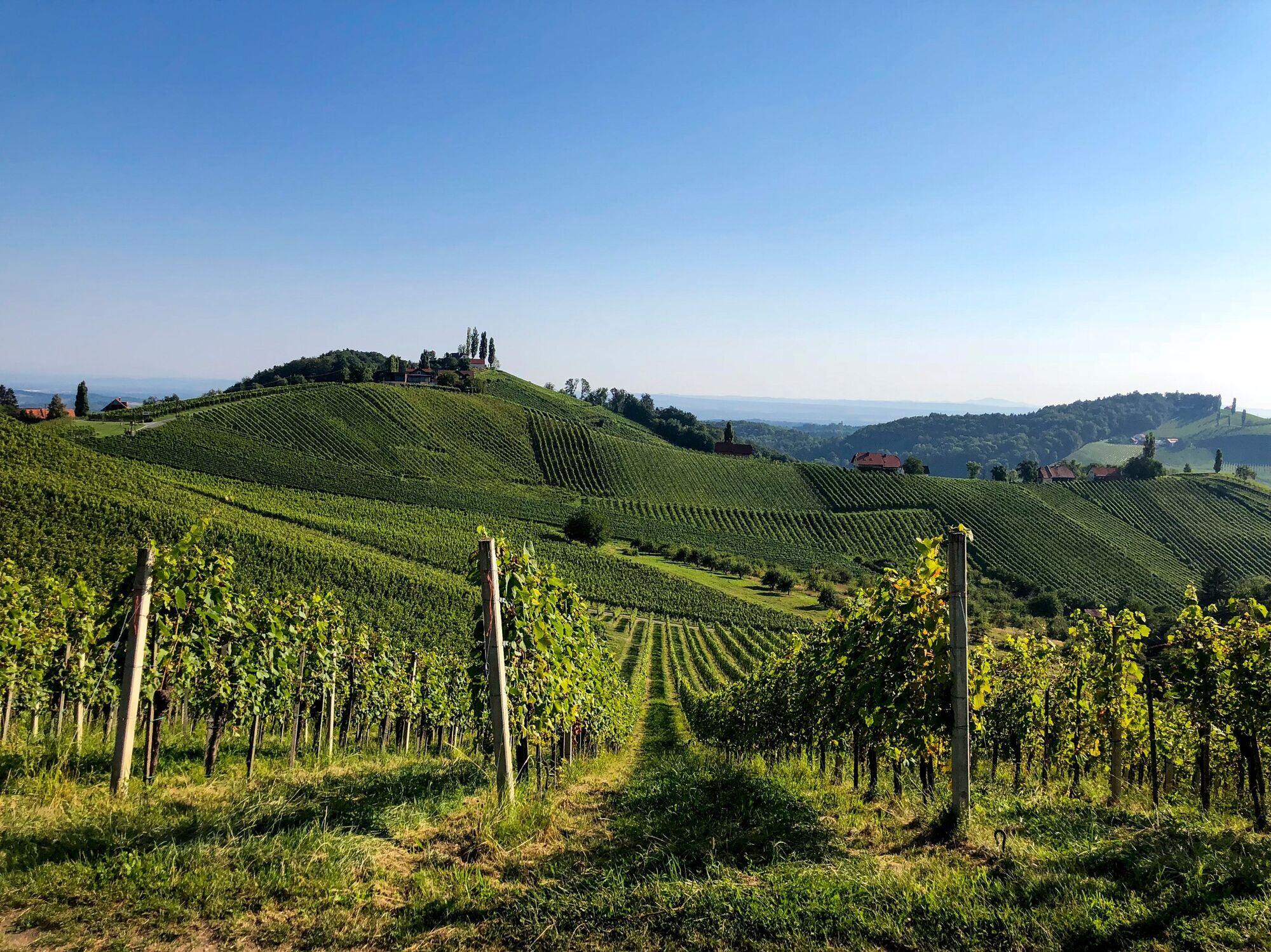
The start in Ratsch an der Weinstraße brings us right at the beginning again as on the last stages from Eibiswald in Schilcherland to here to the Styrian-Slovenian border area, which is only a few meters away. At the end of the first short ascent, we arrive directly at the Bullmann winery, where a heart-shaped bench temptingly invites us to a first stop. Always close to the border, we hike with beautiful views of the surrounding vineyards - on very nice days the view reaches as far as Graz and Maribor - to wineries such as those of Manfred Tement or the Polz brothers. In between, the Plac lookout on the side of the Slovenian municipality of Kungota invites us to enjoy an eternally memorable panoramic view. After 15 stairs with seven steps each and one staircase with six steps we reach the platform of the lookout tower built at the turn of the millennium.
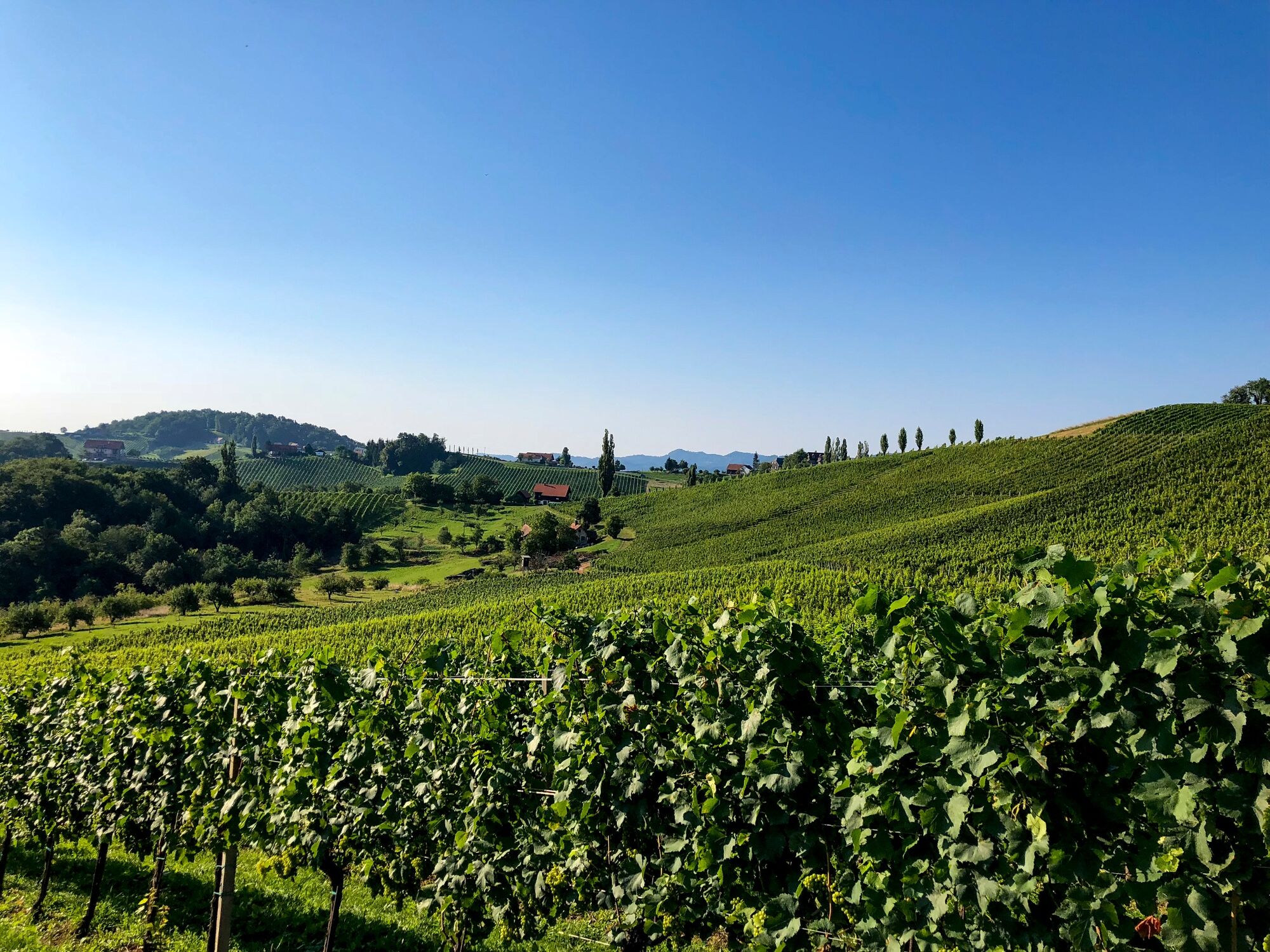
Coming from the north, our path makes a U-turn here to bring us back downhill to the north to the already mentioned Weingt of the brothers Erich and Walter Polz. But before that, we pay a visit to the Südsteiermark Garten of Renate Polz. Her Terroir Südsteiermark Garden is a special gem in the Südsteiermark Nature Park. The garden is packed with Mediterranean flair including cypresses & lavender avenue, historic roses, herbs as well as fruit trees and beehives.
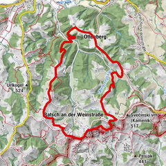
In a steady up and down, the last part of this stage leads us on our hiking route "From glacier to wine" towards Ehrenhausen. The fact that we pass a large number of wine taverns and wineries does not need to be mentioned. It is much more important that we also take time for one or the other stop to immerse ourselves in this special attitude to life of the southern Steier. From the Hoch-Graßnitzberg we hike over the Graßnitzberg to Berghausen. On the right hand side is the Rosenberg. A name that is well known to wine connoisseurs due to vineyard and site descriptions and evokes feelings of happiness. The hike now leads us through meadows, forests and vineyards and takes us past the Loisium Spa and Wine Resort, which is located on a small hill above the path, to the wine-growing village of Ehrenhausen. From afar, on our way to Ehrenhausen, we can already see the castle of the same name, which towers above our stage town. Arriving in Ehrenhausen, the starting point of the famous South Styrian Wine Road, we are impressed not only by the charming location of the village, but also by the well-kept townscape and its cultural and historical sights. The historic Ehrenhausen has a variety of cultural and historical features to offer! They range from the mausoleum of Ruprecht Freiherr von Eggenberg to the baroque parish and pilgrimage church with a remarkable organ to Ehrenhausen Castle. A tip at the end of the stage: In the evening, take a tour of historic Ehrenhausen and stop at one of the beautiful restaurants and wine taverns, as well as wine bars such as those of Erzherzog Johann Weine, before heading to Leibnitz on the last day of our southern route.
- Highest point
- 505 m
- Endpoint
-
Ehrenhausen
- Height profile
-

- Equipment
-
Proper backpack packing makes many things easier: Pack heavy things first. The water bottle should always be within reach in a side pocket. All the things that are often needed, such as sunglasses, camera or hiking map, belong on top. An emergency kit, including blister plasters, belongs in every rucksack and it is always advisable to dress in layers.
- Safety instructions
-
Emergency call mountain rescue: 140
Tips when reporting an emergency – Answer these six WH questions: What happened? How many people are injured? Where did the accident happen (are there GPS coordinates)? Who is reporting the incident (callback number)? When did the accident happen? What is the weather like at the site of the incident?
- Tips
-
In the Thermen- & Vulkanland region of Styria, Eastern Styria and Southern and Western Styria, the GenussCard opens the door to over 200 excursion destinations when you stay overnight in one of the approximately 100 GenussCard partner establishments. Countless of these GenussCard excursion destinations, ranging from culinary manufactories to bathing lakes and museums, are located directly on the hiking route "From Glacier to Wine".
- Additional information
-
Steiermark Tourismus
Tel. +43 316 4003
If you would like to hire a tour operator, simply book with Steiermark Touristik, the official travel agency of Steiermark Tourismus:
Tel. +43 316 4003 450,
The Steiermark Touren app, available free of charge on Google Play and the App Store (Android, iOS), offers detailed first-hand information: brief facts (length, duration, difficulty, ascent and descent/elevation gain, ratings), map, route descriptions, altimeter, compass, peak finder, navigation along the tour. You can also create your own personal lists of favourite tours and sites, store tours and destinations offline, use social media channels, and much more.
- Public transportation
-
Detailed information about arriving by ÖBB (Austrian Federal Railways) can be found at www.oebb.at or on the Verbundlinie Steiermark website www.busbahnbim.at
With Verbundlinie’s BusBahnBim route planner app, planning your journey has never been easier: simply enter towns and/or addresses, stop names or points of interest to check all bus, train and tram connections in Austria. The app is available free of charge for smartphones – on Google Play and in the App Store
- Parking
-
There are several parking options available in Ratsch an der Weinstraße. Please note that in autumn, especially on weekends, the parking lots can be very crowded.


-

-
AuthorThe tour Stage 24 From Glacier to Wine South Route Ratsch an der Weinstraße - Ehrenhausen is used by outdooractive.com provided.


General info
-
Südsteiermark
1135
-
Maribor-Pohorje
263
-
Ehrenhausen an der Weinstraße
256