


- Brief description
-
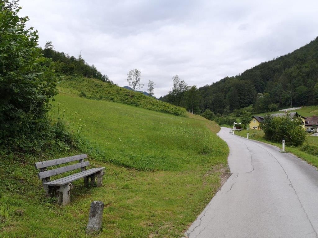
The Landler Walk #10 is easy to walk and the gradient is about easy to moderate. You should use sturdy shoes and the walking time is about 1 hour. The trail is also suitable for families.
- Difficulty
-
medium
- Rating
-
- Starting point
-
Church in Kirchenlandl
- Route
-
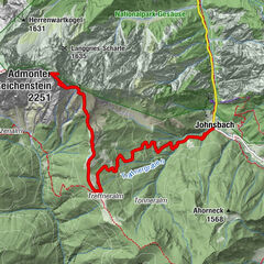
Pfarrkirche hl. Bartholomäus0.0 kmKirchenlandl0.0 kmÜbergang (626 m)1.2 kmÜbergang (626 m)5.7 kmKirchenlandl6.9 kmPfarrkirche hl. Bartholomäus6.9 km
- Best season
-
JanFebMarAprMayJunJulAugSepOctNovDec
- Description
-
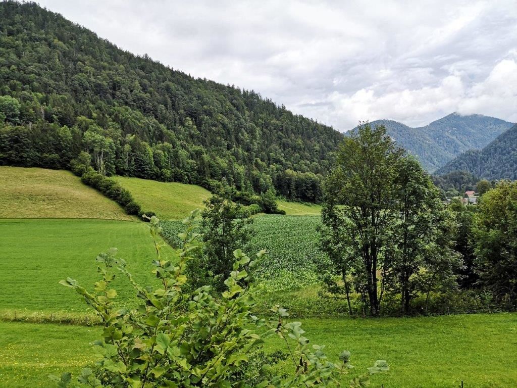
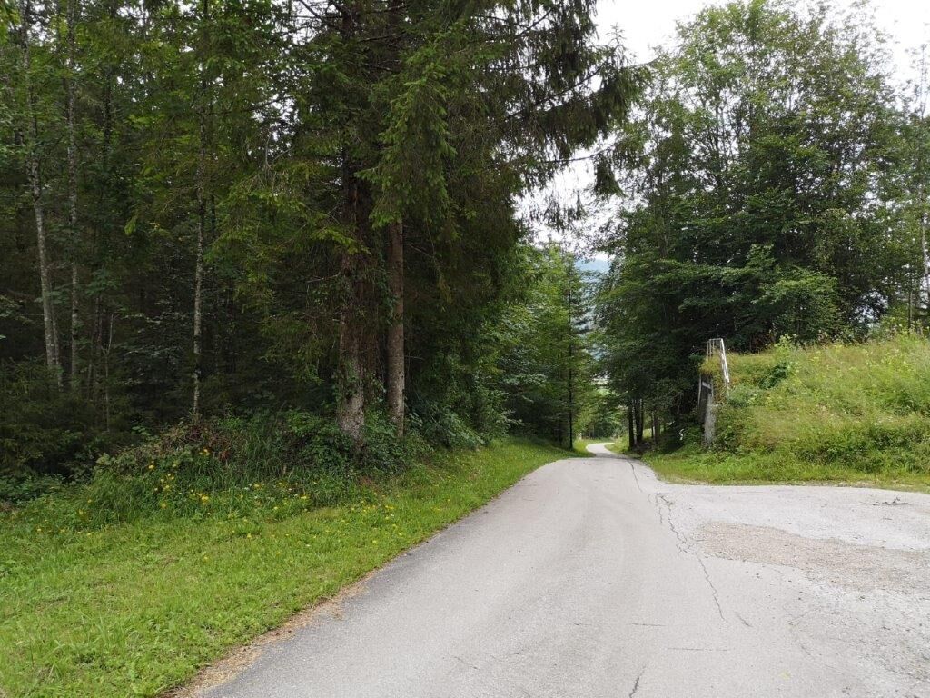
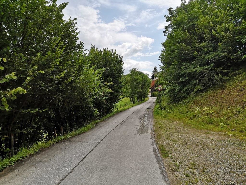
The starting point is at the church in Kirchenlandl. You walk along a narrow path down into the Erb and then follow the path back up to the starting point.
- Directions
-
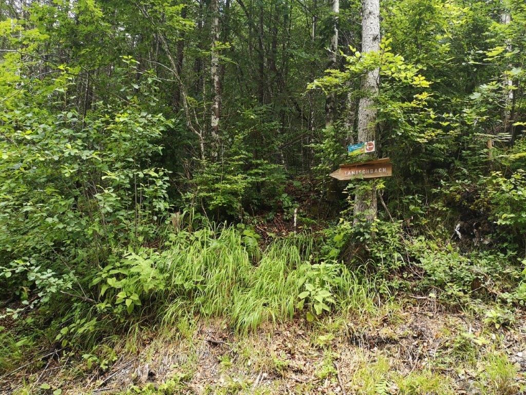
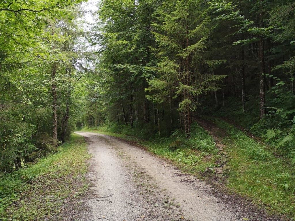
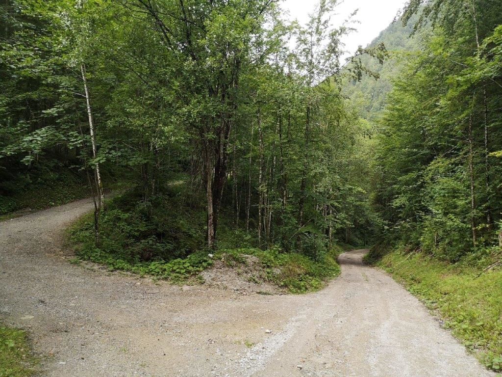
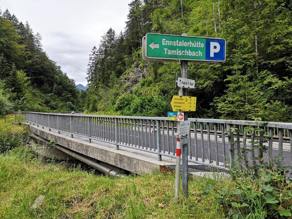
One passes the church and follows a narrow path. The path climbs a little bit and then descends again and again. Later, when the path goes down a little steeper, there is a fork in the path where you turn left through a wood. Once you have left the woods behind you, you will come to a fork in the path where you turn right. At the next junction, turn right and go up steeply. If you were to go down the path, you would reach the main road that leads through the Erb. Continue up the path and you will eventually come back to the path you took before. Follow the path until you reach the starting point again. The walking time is about 1 hour.
- Highest point
- 628 m
- Endpoint
-
Church in Kirchenlandl
- Height profile
-

- Equipment
-
Comfortable, sturdy, well broken-in shoes and a hiking rucksack with appropriate contents (water bottle, first aid, hiking map, sun protection, snack, etc.). You should also be well prepared for a change of weather.
Mobile phone for emergency calls.
- Safety instructions
-
A proper backpack packing makes many things easier: Pack heavy things first. The water bottle should always be handy in a side pocket. All the things that are often needed like sunglasses, camera or hiking map belong on top. An emergency kit including blister plasters belongs in every backpack and clothing according to the "onion system" is always recommended!
Mountain rescue emergency call: 140
- Tips
-
The bathing pond Landl invites you to bathe and relax!
- Additional information
-
Infobüro/Salza Wildalpen
Wildalpen 91 – 8924 Wildalpen Tel. 03636/241 infosalza@gesaeuse.at
Mo und Fr. 9:00-17:00
www.gesaeuse.at
www.landl.at
- Directions
-
Vienna: A1 to Ybbs, B 25 direction Wieselburg-Scheibbs-Göstling-Palfau-Gams-Landl
Salzburg: A 10 to exit Altenmarkt, on the B 320 direction Schladming to Liezen, then on the B 146 direction Admont, through the Gesäuse to Hieflau, left Landl
Graz: A 9 to exit Traboch, onto the B 115 in the direction of Eisenerz-Hieflau-Landl
Linz: A 1 to exit Enns, over the B 309 to Steyer, there on the B 25 direction Weyer-Altenmarkt- Großreifling - Landl
Parking
ienna: A1 to Ybbs, B 25 direction Wieselburg-Scheibbs-Göstling-Palfau-Gams-Landl
Salzburg: A 10 to exit Altenmarkt, on the B 320 direction Schladming to Liezen, then on the B 146 direction Admont, through the Gesäuse to Hieflau, left Landl
Graz: A 9 to exit Traboch, onto the B 115 in the direction of Eisenerz-Hieflau-Landl
Linz: A 1 to exit Enns, over the B 309 to Steyer, there on the B 25 direction Weyer-Altenmarkt- Großreifling - Landl
Parking
- Public transportation
-
www.oebb.at
www.busbahnbim.at
- Parking
-
By the church in Landl


-

-
AuthorThe tour Landler Country walk #10 is used by outdooractive.com provided.


 & Kaiserschild (rechts)")


