Stage 19 From Glacier to Wine South Route Deutschlandsberg - Bad Schwanberg


- Brief description
-
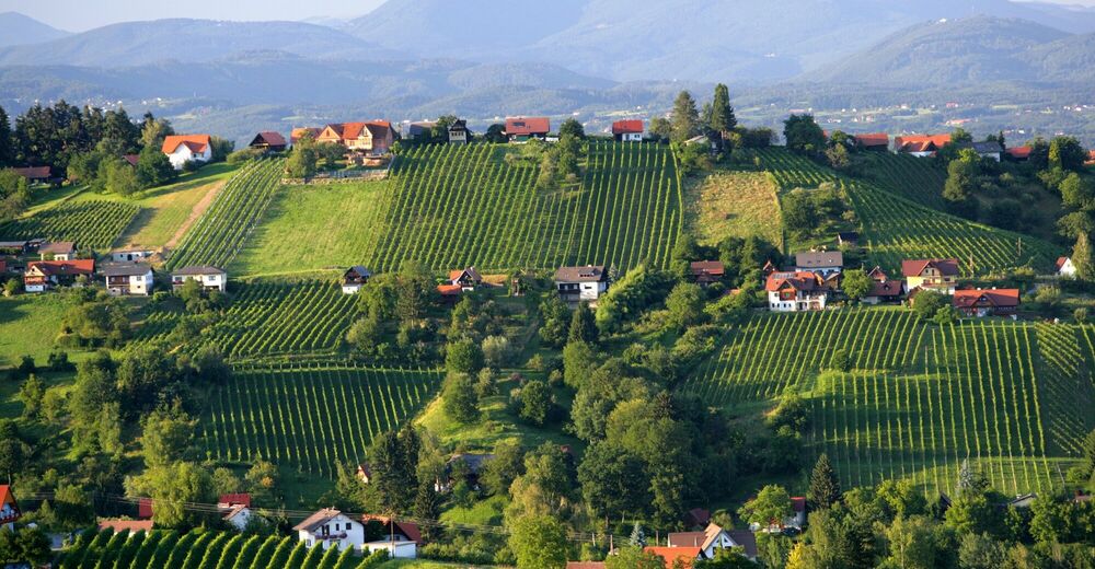
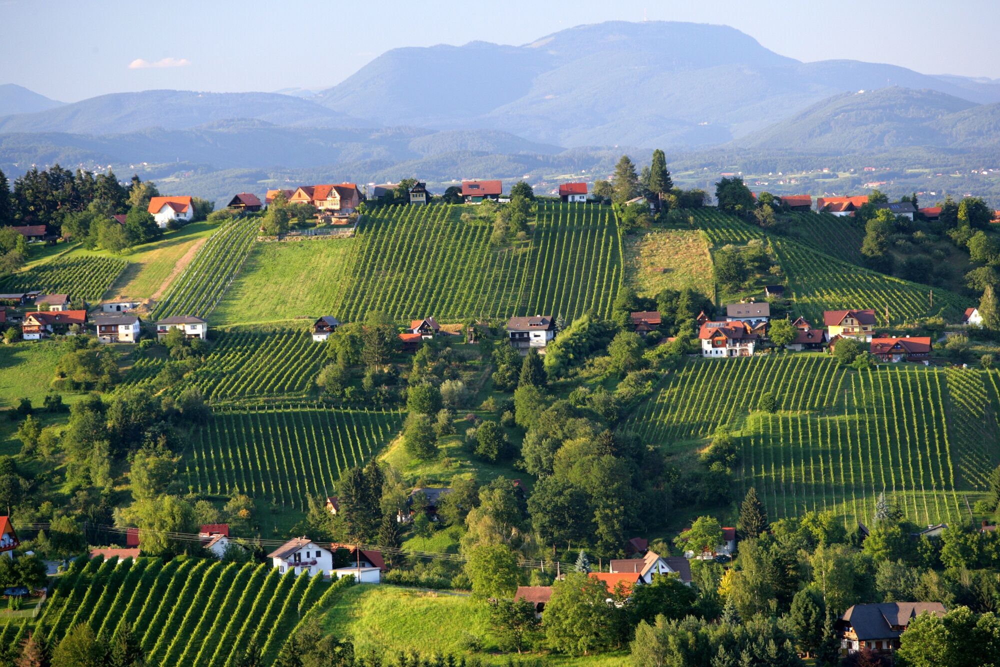
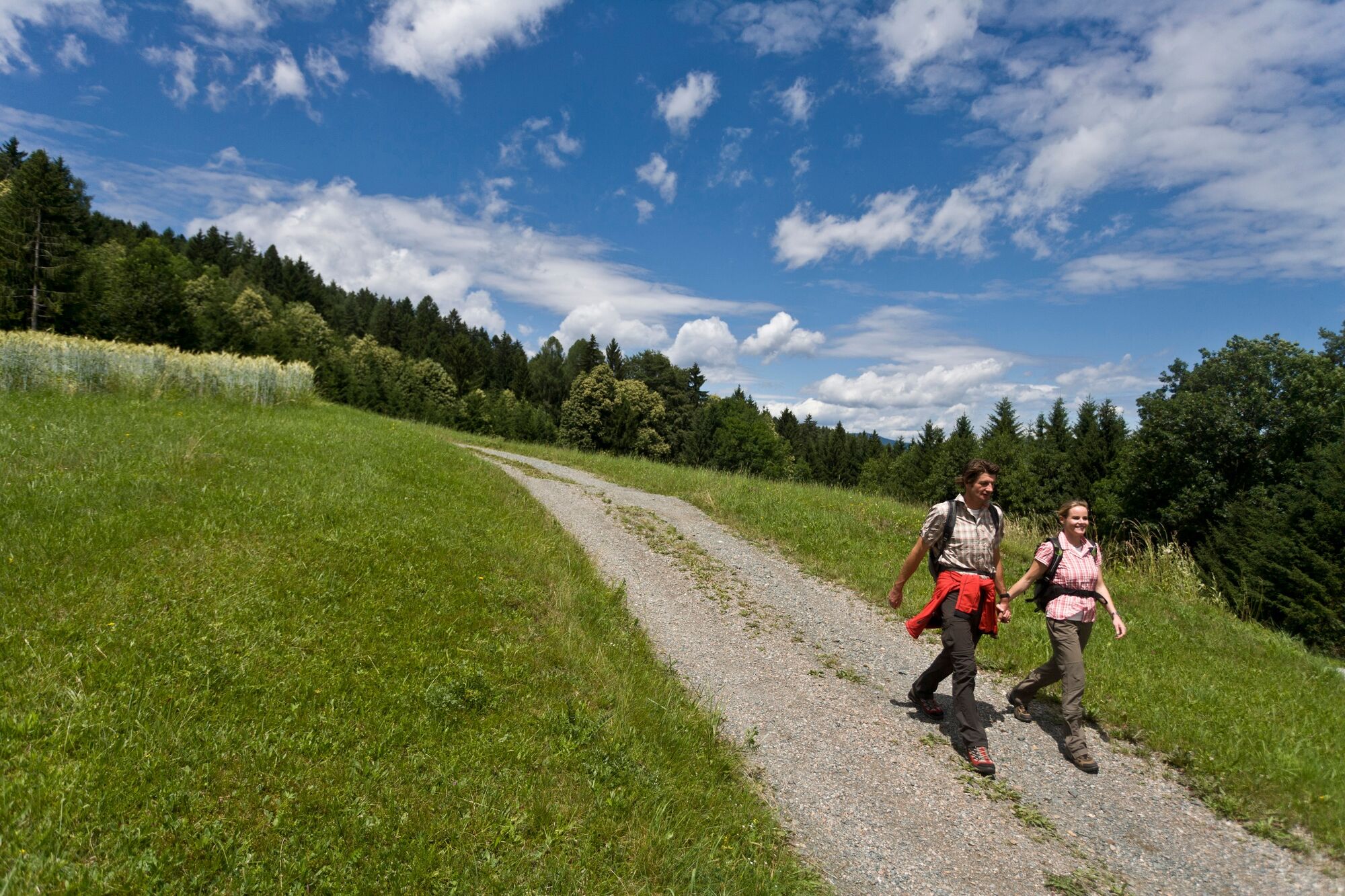
On this stage of the hiking route "From glacier to wine" we hike through the Schilcherland, where we will soon notice that now and then pilgrims come to meet us. They are on their way to Mariazell, because we are on the Mariazell Way, one of the most famous pilgrimage routes in the Alpine region.
- Difficulty
-
easy
- Rating
-
- Starting point
-
Deutschlandsberg
- Route
-
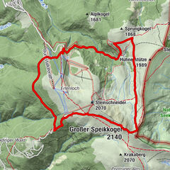
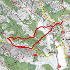
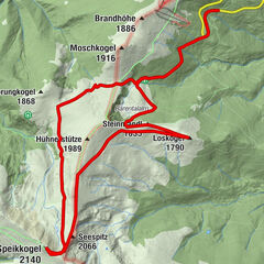
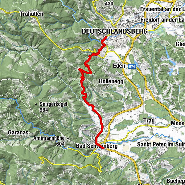
DeutschlandsbergWarnblick2.4 kmFilialkirche St. Wolfgang (Wolfgangikirche)3.5 kmGregorhansl4.0 kmWegkapelle7.2 kmMainsdorf8.0 kmHaderberg8.4 kmBad Schwanberg10.2 km
- Best season
-
JanFebMarAprMayJunJulAugSepOctNovDec
- Description
-
In addition to Schilcher, which is made from the Blaue Wilbdbacher vine and is a protected trade name, because Schilcher must come from Styria, we also get to know another treasure that nature has given us on this stage. From the highest high moor in Austria at over 1,300 meters comes the medicinal moor, which is used in the Schwanberg medicinal moor spa. The dense network of roots did not allow the absorbed water in this high moor on the Koralm to run off. Thus, the Garanaser Moor grew to a remarkable thickness of six meters in 6,000 years. And so, over thousands of years, medicinal herbs, seeds, pollen and flowers were also preserved, which form the basis for the effect of the medicinal moor.
- Directions
-
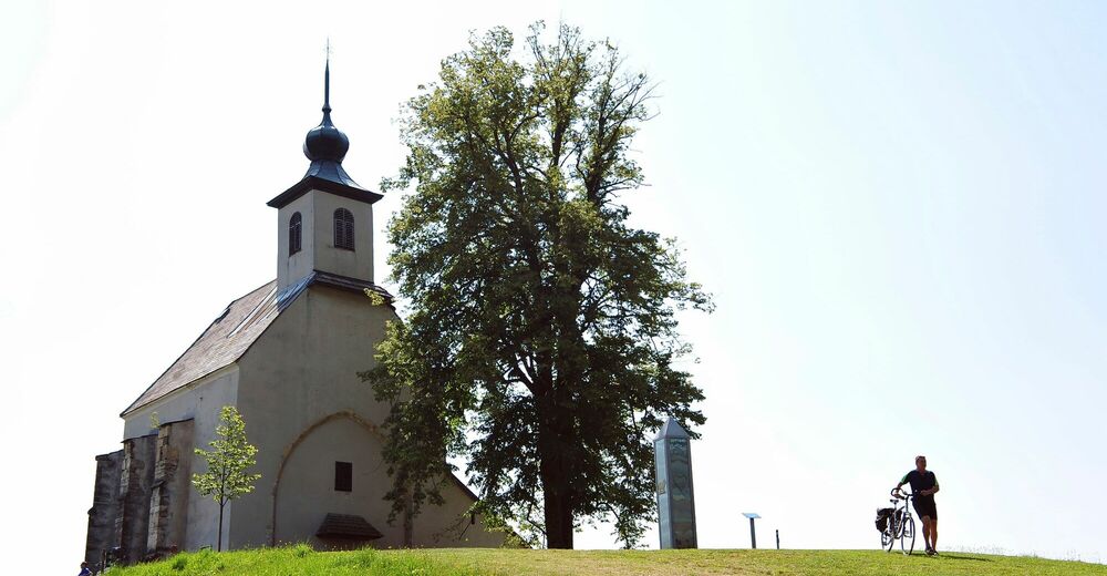
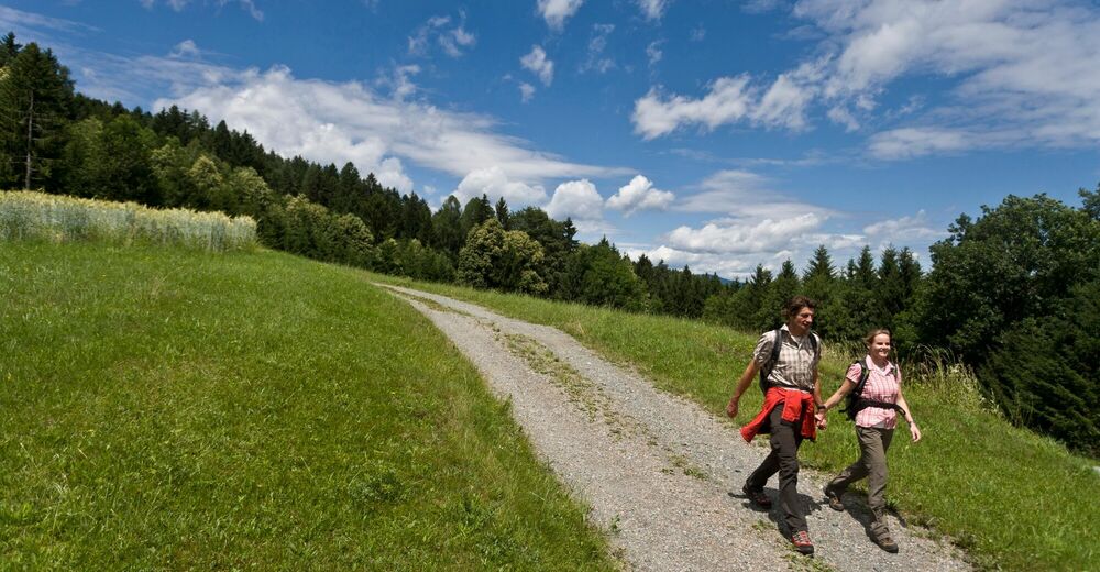
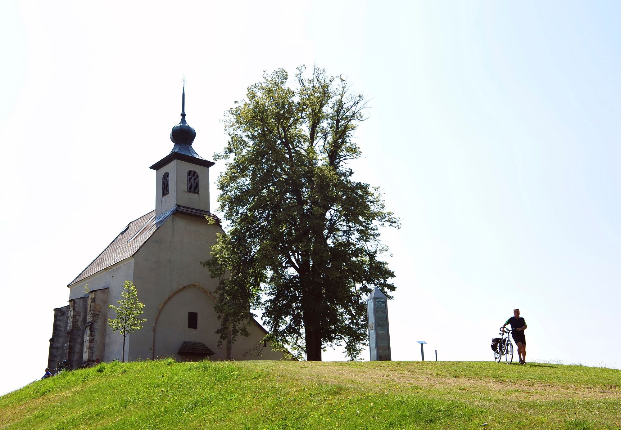
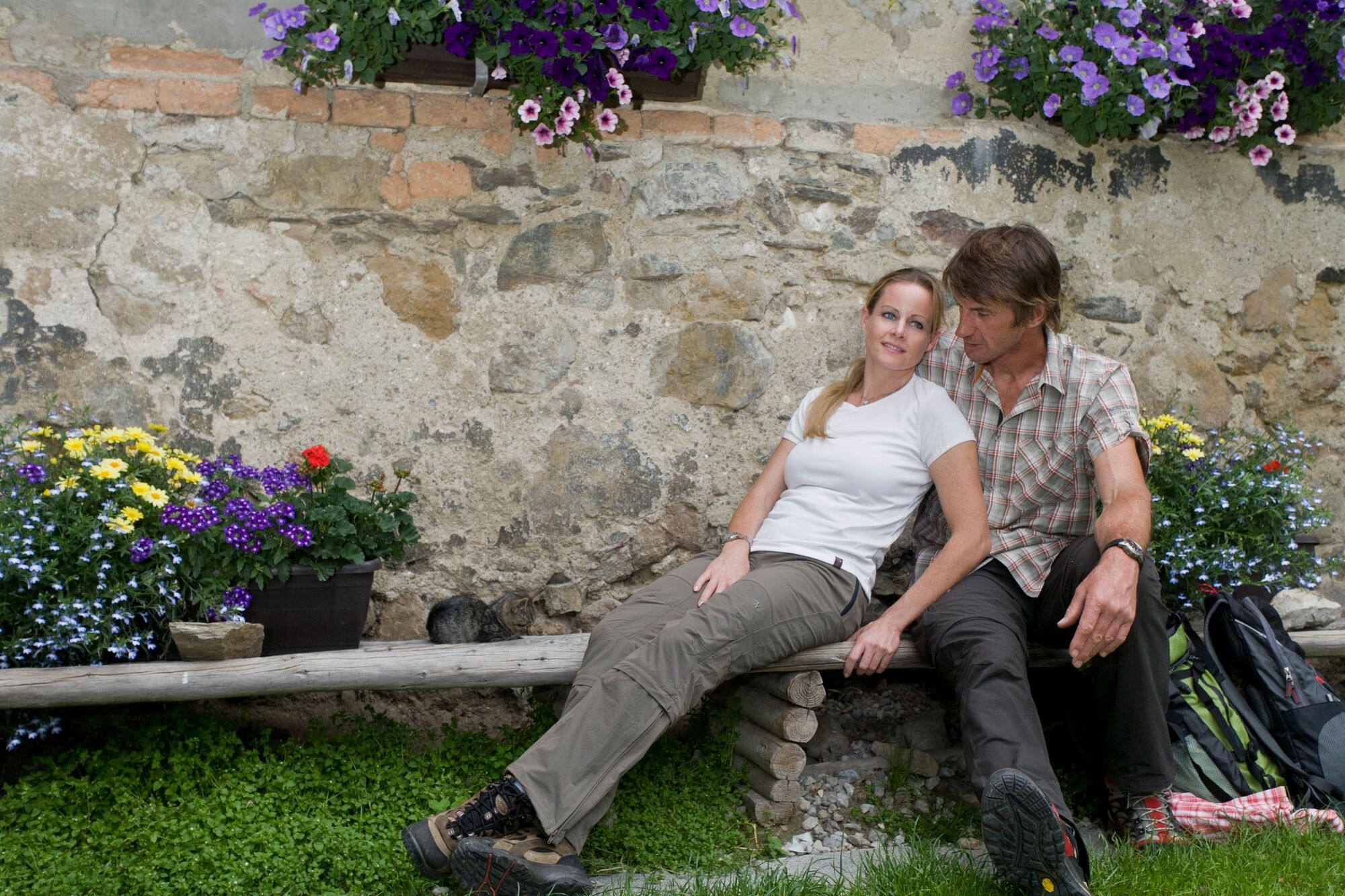
From Deutschlandsberg, the trail first leads us past vineyards, which nestle directly against the rows of houses to the west around the town, slightly uphill to the Wolfgangi Church, where we can enjoy a beautiful view of the Schilcherland. Immediately after the small pilgrimage church, we keep to the left at the Alpengasthaus Gregorhansl (Tel. +43 3462 2610) and continue walking south along the Mariazell path, in the opposite direction to the pilgrims who are drawn to the north of Styria. The rest of the way leads us parallel to the Schilcher Wine Road through tranquil forests, past meadows and fields to one or the other Buschenschank, which we should also visit.
The entire further way on this stage of the hiking route "From Glacier to Wine" leads us downhill directly to Bad Schwanberg, where we turn off onto Mainsdorfer Straße from the Mariazeller Weg at the level of the Stegweber Inn and the Grünberg Volunteer Fire Department - and hike straight ahead - to reach the center of Schwanberg with numerous sights and museums such as the Capuchin Monastery, Schwanberg Castle or the Greißlereimuseum. A special gem can also be found in Eibiswald, our next stage stop: the ÖAV Weitwandermuseum.
- Highest point
- 759 m
- Endpoint
-
Bad Schwanberg
- Height profile
-

- Equipment
-
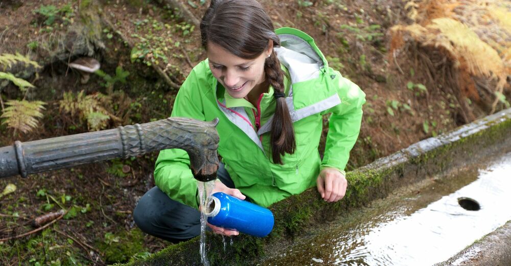
Proper backpack packing makes many things easier: Pack heavy things first. The water bottle should always be within reach in a side pocket. All the things that are often needed, such as sunglasses, camera or hiking map, belong on top. An emergency kit, including blister plasters, belongs in every rucksack and it is always advisable to dress in layers.
- Safety instructions
-
Emergency call mountain rescue: 140
Tips when reporting an emergency – Answer these six WH questions: What happened? How many people are injured? Where did the accident happen (are there GPS coordinates)? Who is reporting the incident (callback number)? When did the accident happen? What is the weather like at the site of the incident?
- Tips
-
In the Thermen- & Vulkanland region of Styria, Eastern Styria and Southern and Western Styria, the GenussCard opens the door to over 200 excursion destinations when you stay overnight in one of the approximately 100 GenussCard partner establishments. Countless of these GenussCard excursion destinations, ranging from culinary manufactories to bathing lakes and museums, are located directly on the hiking route "From Glacier to Wine".
- Additional information
-
Steiermark Tourismus
Tel. +43 316 4003
If you would like to hire a tour operator, simply book with Steiermark Touristik, the official travel agency of Steiermark Tourismus:
Tel. +43 316 4003 450,
The Steiermark Touren app, available free of charge on Google Play and the App Store (Android, iOS), offers detailed first-hand information: brief facts (length, duration, difficulty, ascent and descent/elevation gain, ratings), map, route descriptions, altimeter, compass, peak finder, navigation along the tour. You can also create your own personal lists of favourite tours and sites, store tours and destinations offline, use social media channels, and much more.
- Public transportation
-
Accessible by train and bus.
Detailed information about arriving by ÖBB (Austrian Federal Railways) can be found at www.oebb.at or on the Verbundlinie Steiermark website www.busbahnbim.at
With Verbundlinie’s BusBahnBim route planner app, planning your journey has never been easier: simply enter towns and/or addresses, stop names or points of interest to check all bus, train and tram connections in Austria. The app is available free of charge for smartphones – on Google Play and in the App Store
- Parking
-
Parking is available in the Obere Schmiedgasse behind the town hall.
- Author
-
The tour Stage 19 From Glacier to Wine South Route Deutschlandsberg - Bad Schwanberg is used by outdooractive.com provided.


General info
-
Südsteiermark
1135
-
Schilcherland Steiermark
1100
-
Bad Schwanberg
155